University of Texas System University Lands
-
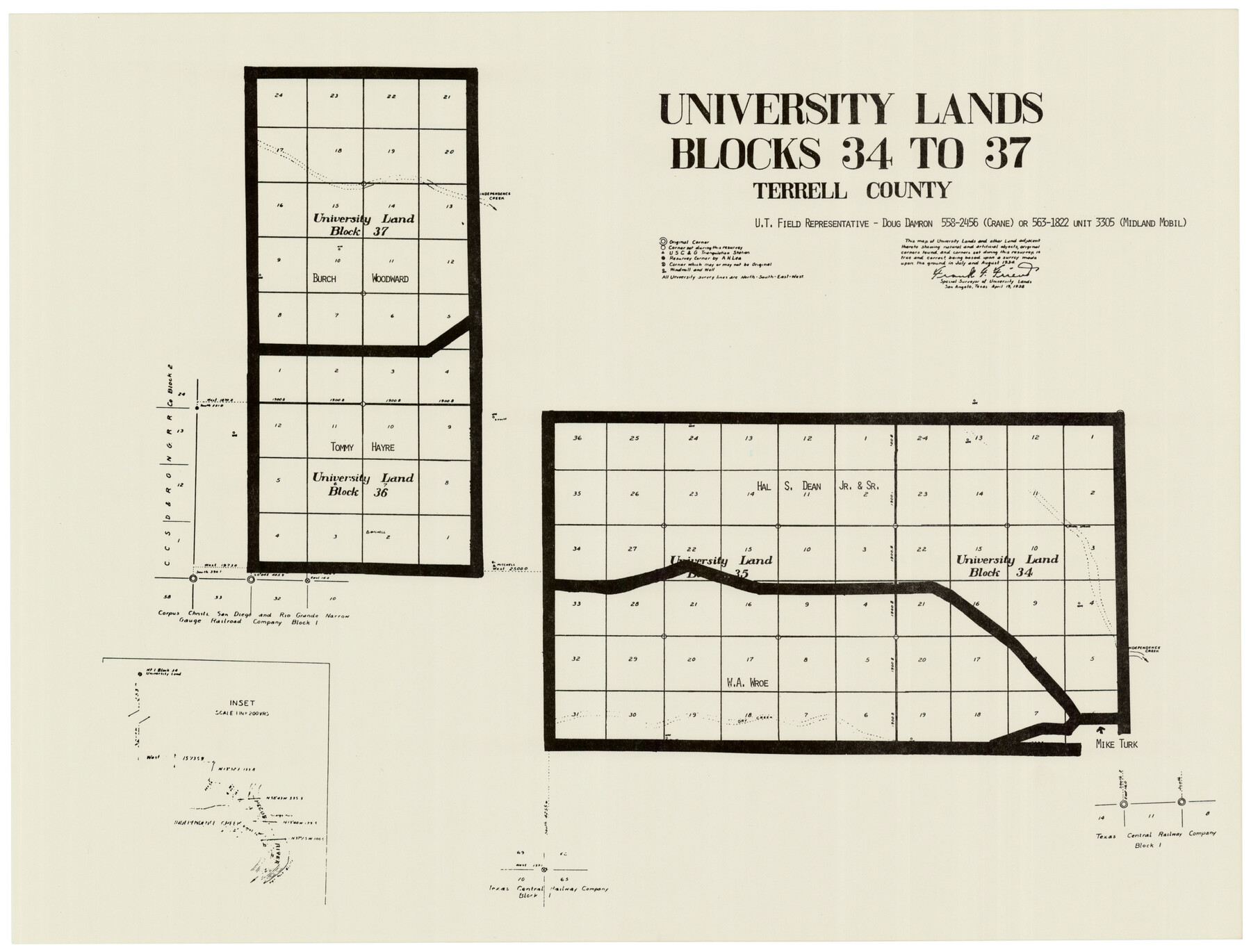
Map/Doc
93243
-
Collection
Twichell Survey Records
-
Object Dates
4/19/1938 (Creation Date)
-
People and Organizations
Frank F. Friend (Surveyor/Engineer)
-
Counties
Terrell
-
Height x Width
23.4 x 17.9 inches
59.4 x 45.5 cm
-
Comments
See counters 93235-93251 for the full set of University Lands maps.
Related maps
University of Texas System University Lands

Print $20.00
- Digital $50.00
University of Texas System University Lands
Size 23.2 x 17.6 inches
Map/Doc 93235
University of Texas System University Lands

Print $20.00
- Digital $50.00
University of Texas System University Lands
1936
Size 23.2 x 17.6 inches
Map/Doc 93236
University of Texas System University Lands

Print $20.00
- Digital $50.00
University of Texas System University Lands
1937
Size 23.3 x 17.6 inches
Map/Doc 93237
University of Texas System University Lands

Print $20.00
- Digital $50.00
University of Texas System University Lands
Size 23.1 x 17.5 inches
Map/Doc 93238
University of Texas System University Lands

Print $20.00
- Digital $50.00
University of Texas System University Lands
1936
Size 23.1 x 17.5 inches
Map/Doc 93239
University of Texas System University Lands

Print $20.00
- Digital $50.00
University of Texas System University Lands
Size 23.0 x 17.5 inches
Map/Doc 93240
University of Texas System University Lands

Print $20.00
- Digital $50.00
University of Texas System University Lands
1931
Size 23.2 x 17.5 inches
Map/Doc 93241
University of Texas System University Lands

Print $20.00
- Digital $50.00
University of Texas System University Lands
Size 17.7 x 23.2 inches
Map/Doc 93242
University of Texas System University Lands

Print $20.00
- Digital $50.00
University of Texas System University Lands
Size 17.9 x 23.3 inches
Map/Doc 93244
University of Texas System University Lands

Print $20.00
- Digital $50.00
University of Texas System University Lands
Size 17.8 x 23.4 inches
Map/Doc 93245
University of Texas System University Lands

Print $20.00
- Digital $50.00
University of Texas System University Lands
1929
Size 23.2 x 17.7 inches
Map/Doc 93246
University of Texas System University Lands

Print $20.00
- Digital $50.00
University of Texas System University Lands
1938
Size 17.8 x 23.4 inches
Map/Doc 93247
University of Texas System University Lands

Print $20.00
- Digital $50.00
University of Texas System University Lands
1933
Size 23.0 x 17.7 inches
Map/Doc 93248
University of Texas System University Lands

Print $20.00
- Digital $50.00
University of Texas System University Lands
1938
Size 17.9 x 23.5 inches
Map/Doc 93249
University of Texas System University Lands

Print $20.00
- Digital $50.00
University of Texas System University Lands
1972
Size 23.2 x 17.9 inches
Map/Doc 93250
University of Texas System University Lands

Print $20.00
- Digital $50.00
University of Texas System University Lands
Size 23.2 x 17.9 inches
Map/Doc 93251
Part of: Twichell Survey Records
[Tie Line, Zavala County School Land to North Line of Block D11, East and South to Double Lakes Corner]
![91868, [Tie Line, Zavala County School Land to North Line of Block D11, East and South to Double Lakes Corner], Twichell Survey Records](https://historictexasmaps.com/wmedia_w700/maps/91868-1.tif.jpg)
Print $20.00
- Digital $50.00
[Tie Line, Zavala County School Land to North Line of Block D11, East and South to Double Lakes Corner]
1900
Size 18.5 x 12.6 inches
Map/Doc 91868
[Sketch showing parts of H. & G. N. RR. Co. Blocks 7 and 8, K. Aycock Block 4, G. H. & H. RR. Co. Block 5 and various surveys west]
![90871, [Sketch showing parts of H. & G. N. RR. Co. Blocks 7 and 8, K. Aycock Block 4, G. H. & H. RR. Co. Block 5 and various surveys west], Twichell Survey Records](https://historictexasmaps.com/wmedia_w700/maps/90871-2.tif.jpg)
Print $20.00
- Digital $50.00
[Sketch showing parts of H. & G. N. RR. Co. Blocks 7 and 8, K. Aycock Block 4, G. H. & H. RR. Co. Block 5 and various surveys west]
1902
Size 25.5 x 17.3 inches
Map/Doc 90871
Working Sketch from Crosby and Garza Cos.

Print $20.00
- Digital $50.00
Working Sketch from Crosby and Garza Cos.
1902
Size 28.7 x 38.7 inches
Map/Doc 90794
[Wm. Baker and Chas. Lydings surveys and vicinity]
![92988, [Wm. Baker and Chas. Lydings surveys and vicinity], Twichell Survey Records](https://historictexasmaps.com/wmedia_w700/maps/92988-1.tif.jpg)
Print $2.00
- Digital $50.00
[Wm. Baker and Chas. Lydings surveys and vicinity]
Size 6.6 x 7.0 inches
Map/Doc 92988
[Capitol Leagues 217-239]
![90668, [Capitol Leagues 217-239], Twichell Survey Records](https://historictexasmaps.com/wmedia_w700/maps/90668-1.tif.jpg)
Print $20.00
- Digital $50.00
[Capitol Leagues 217-239]
Size 26.9 x 26.6 inches
Map/Doc 90668
[T. & P. Block 35, Townships 4N and 5N]
![90629, [T. & P. Block 35, Townships 4N and 5N], Twichell Survey Records](https://historictexasmaps.com/wmedia_w700/maps/90629-1.tif.jpg)
Print $20.00
- Digital $50.00
[T. & P. Block 35, Townships 4N and 5N]
Size 26.3 x 34.7 inches
Map/Doc 90629
[H. & T. C. RR. Company, Block 47, Sections 20- 28]
![91249, [H. & T. C. RR. Company, Block 47, Sections 20- 28], Twichell Survey Records](https://historictexasmaps.com/wmedia_w700/maps/91249-1.tif.jpg)
Print $20.00
- Digital $50.00
[H. & T. C. RR. Company, Block 47, Sections 20- 28]
Size 16.1 x 13.7 inches
Map/Doc 91249
Howard T. Trigg's Official Map of Amarillo

Print $40.00
- Digital $50.00
Howard T. Trigg's Official Map of Amarillo
Size 79.1 x 54.0 inches
Map/Doc 93196
Parts of Garza and Lynn Counties

Print $20.00
- Digital $50.00
Parts of Garza and Lynn Counties
1925
Size 23.1 x 17.0 inches
Map/Doc 91341
[Sketch of Unknown Area in New Mexico]
![93027, [Sketch of Unknown Area in New Mexico], Twichell Survey Records](https://historictexasmaps.com/wmedia_w700/maps/93027-1.tif.jpg)
Print $40.00
- Digital $50.00
[Sketch of Unknown Area in New Mexico]
Size 50.6 x 37.1 inches
Map/Doc 93027
[Sutton, Hale & Ector Co. School Land]
![90103, [Sutton, Hale & Ector Co. School Land], Twichell Survey Records](https://historictexasmaps.com/wmedia_w700/maps/90103-1.tif.jpg)
Print $3.00
- Digital $50.00
[Sutton, Hale & Ector Co. School Land]
Size 9.8 x 16.7 inches
Map/Doc 90103
Exhibit G Robert Violette M. A. 34719 Gaines County, Texas

Print $40.00
- Digital $50.00
Exhibit G Robert Violette M. A. 34719 Gaines County, Texas
Size 56.1 x 23.2 inches
Map/Doc 89683
You may also like
Hamilton County Sketch File 4

Print $16.00
- Digital $50.00
Hamilton County Sketch File 4
Size 14.5 x 9.1 inches
Map/Doc 24903
Young County Working Sketch 18

Print $20.00
- Digital $50.00
Young County Working Sketch 18
1960
Size 23.9 x 29.2 inches
Map/Doc 62041
Flight Mission No. CRK-3P, Frame 62, Refugio County

Print $20.00
- Digital $50.00
Flight Mission No. CRK-3P, Frame 62, Refugio County
1956
Size 18.6 x 22.6 inches
Map/Doc 86904
Robertson County Sketch File 10

Print $22.00
Robertson County Sketch File 10
1846
Size 12.8 x 8.4 inches
Map/Doc 35392
The Mexican Municipality of Brazoria. Created, April 28, 1832

Print $20.00
The Mexican Municipality of Brazoria. Created, April 28, 1832
2020
Size 16.5 x 21.7 inches
Map/Doc 96015
Terrell County Working Sketch 64

Print $20.00
- Digital $50.00
Terrell County Working Sketch 64
1971
Size 29.3 x 27.7 inches
Map/Doc 69585
Victoria County Sketch File 3

Print $7.00
- Digital $50.00
Victoria County Sketch File 3
1876
Size 10.1 x 8.2 inches
Map/Doc 39514
Dawson County Sketch showing survey made in accordance with an order of the Hon. District Court of Garza County July Term A.D. 1917 in the case of F. M. Weaver vs. A. W. Higginbotham #41

Print $20.00
- Digital $50.00
Dawson County Sketch showing survey made in accordance with an order of the Hon. District Court of Garza County July Term A.D. 1917 in the case of F. M. Weaver vs. A. W. Higginbotham #41
1917
Size 23.1 x 18.1 inches
Map/Doc 90637
Presidio County Sketch File 21A

Print $12.00
- Digital $50.00
Presidio County Sketch File 21A
1889
Size 5.1 x 8.8 inches
Map/Doc 34460
Map of Comanche County

Print $20.00
- Digital $50.00
Map of Comanche County
1884
Size 20.9 x 26.5 inches
Map/Doc 3434
Frio County Rolled Sketch HM

Print $20.00
- Digital $50.00
Frio County Rolled Sketch HM
1935
Size 41.2 x 30.6 inches
Map/Doc 8898
[Sketch for Mineral Application 27669 - Trinity River, Frank R. Graves]
![2859, [Sketch for Mineral Application 27669 - Trinity River, Frank R. Graves], General Map Collection](https://historictexasmaps.com/wmedia_w700/maps/2859-1.tif.jpg)
Print $40.00
- Digital $50.00
[Sketch for Mineral Application 27669 - Trinity River, Frank R. Graves]
1934
Size 27.9 x 51.7 inches
Map/Doc 2859