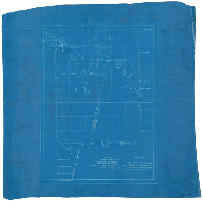
[L. C. Dennison and other surveys to the east, south of the south line of T. & P. Blocks 4 and 6]
215-18
- 
                          Map/Doc
93050
 - 
                            Collection
Twichell Survey Records
 - 
                            Object Dates
1919 (Creation Date)
 - 
                            Counties
Stephens
 - 
                            Height x Width
32.1 x 17.6 inches
81.5 x 44.7 cm
 - 
                            Medium
blueprint
 - 
                            Scale
500 V
 
Part of: Twichell Survey Records
            Tracing of J. M. Morgan's Map Showing X-LIT Fence Line


                                            Print $20.00                    
                                             -                         Digital $50.00                                    
                Tracing of J. M. Morgan's Map Showing X-LIT Fence Line
1916
Size 9.5 x 22.7 inches
                                Map/Doc 91809
            
            Thornton, Texas


                                            Print $20.00                    
                                             -                         Digital $50.00                                    
                Thornton, Texas
1922
Size 30.0 x 32.6 inches
                                Map/Doc 92143
            
            [T.& P.R.R.Co., Block 1]


                                            Print $20.00                    
                                             -                         Digital $50.00                                    
                [T.& P.R.R.Co., Block 1]
Size 37.5 x 31.6 inches
                                Map/Doc 92963
            
            Plat Showing Survey made for J. M. Teague, Jr. Gaines County, Texas


                                            Print $20.00                    
                                             -                         Digital $50.00                                    
                Plat Showing Survey made for J. M. Teague, Jr. Gaines County, Texas
1956
Size 12.7 x 18.7 inches
                                Map/Doc 92672
            
            [Gunter & Munson, Maddox Bros. & Anderson Blocks F and A and blocks south]


                                            Print $20.00                    
                                             -                         Digital $50.00                                    
                [Gunter & Munson, Maddox Bros. & Anderson Blocks F and A and blocks south]
Size 18.3 x 19.8 inches
                                Map/Doc 91850
            
            New Hobbs, Lea County, New Mexico


                                            Print $20.00                    
                                             -                         Digital $50.00                                    
                New Hobbs, Lea County, New Mexico
Size 15.7 x 20.1 inches
                                Map/Doc 92424
            
            Water Distribution Seagraves Located in Surveys 10 & 15, Block C-34


                                            Print $20.00                    
                                             -                         Digital $50.00                                    
                Water Distribution Seagraves Located in Surveys 10 & 15, Block C-34
Size 22.1 x 15.8 inches
                                Map/Doc 92899
            
            Plat Compiled by W. J. Williams, Plainview, Texas, and Sylvan Sanders, Lubbock, Texas Showing Position of Original and Re-Survey Corners in Lynn, Terry, Yoakum, Gaines and Dawson Counties, Texas


                                            Print $40.00                    
                                             -                         Digital $50.00                                    
                Plat Compiled by W. J. Williams, Plainview, Texas, and Sylvan Sanders, Lubbock, Texas Showing Position of Original and Re-Survey Corners in Lynn, Terry, Yoakum, Gaines and Dawson Counties, Texas
1946
Size 57.6 x 22.9 inches
                                Map/Doc 89689
            
            Midway Townsite Located on the Northeast Quarter Section 4, Block 32, T 2 S, Howard County, Texas


                                            Print $3.00                    
                                             -                         Digital $50.00                                    
                Midway Townsite Located on the Northeast Quarter Section 4, Block 32, T 2 S, Howard County, Texas
1928
Size 11.4 x 15.3 inches
                                Map/Doc 92184
            
            Fair View Heights Addition to City of Lubbock Located on Survey 80, Blk. A


                                            Print $20.00                    
                                             -                         Digital $50.00                                    
                Fair View Heights Addition to City of Lubbock Located on Survey 80, Blk. A
Size 16.8 x 21.1 inches
                                Map/Doc 92760
            
            [Capitol Leagues along Bailey-Lamb County Line]


                                            Print $40.00                    
                                             -                         Digital $50.00                                    
                [Capitol Leagues along Bailey-Lamb County Line]
Size 12.6 x 49.5 inches
                                Map/Doc 89630
            You may also like
            [County lines and corners]


                                            Print $20.00                    
                                             -                         Digital $50.00                                    
                [County lines and corners]
Size 22.8 x 17.8 inches
                                Map/Doc 90801
            
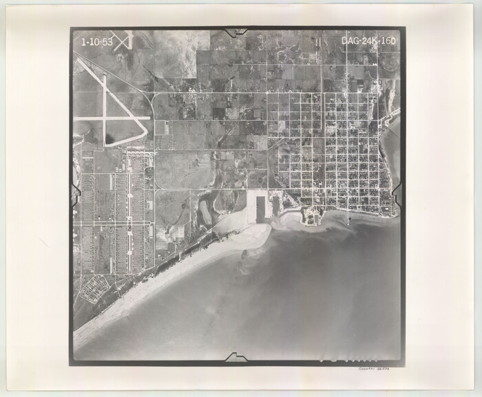
            Flight Mission No. DAG-22K, Frame 74, Matagorda County


                                            Print $20.00                    
                                             -                         Digital $50.00                                    
                Flight Mission No. DAG-22K, Frame 74, Matagorda County
1953
Size 18.8 x 22.5 inches
                                Map/Doc 86461
            
            Haskell County Boundary File 4b


                                            Print $40.00                    
                                             -                         Digital $50.00                                    
                Haskell County Boundary File 4b
Size 28.6 x 19.7 inches
                                Map/Doc 54576
            
            Caldwell County Working Sketch 1


                                            Print $20.00                    
                                             -                         Digital $50.00                                    
                Caldwell County Working Sketch 1
Size 20.7 x 26.2 inches
                                Map/Doc 67831
            
            Harris County Working Sketch 56


                                            Print $20.00                    
                                             -                         Digital $50.00                                    
                Harris County Working Sketch 56
1950
Size 33.2 x 31.6 inches
                                Map/Doc 65948
            
            Sheet 5 copied from Champlin Book 5 [Strip Map showing T. & P. connecting lines]


                                            Print $40.00                    
                                             -                         Digital $50.00                                    
                Sheet 5 copied from Champlin Book 5 [Strip Map showing T. & P. connecting lines]
1909
Size 7.9 x 75.6 inches
                                Map/Doc 93180
            
            Polk County Sketch File 26a


                                            Print $10.00                    
                                             -                         Digital $50.00                                    
                Polk County Sketch File 26a
1878
Size 14.2 x 8.7 inches
                                Map/Doc 34189
            
            Stephens County Working Sketch 37


                                            Print $40.00                    
                                             -                         Digital $50.00                                    
                Stephens County Working Sketch 37
1983
Size 42.9 x 67.7 inches
                                Map/Doc 63980
            
            Throckmorton County Working Sketch 10


                                            Print $20.00                    
                                             -                         Digital $50.00                                    
                Throckmorton County Working Sketch 10
1986
Size 22.8 x 36.8 inches
                                Map/Doc 62119
            
            Tarrant County State Real Property Sketch 3


                                            Print $20.00                    
                                             -                         Digital $50.00                                    
                Tarrant County State Real Property Sketch 3
2018
Size 35.1 x 23.8 inches
                                Map/Doc 95402
            
            Navarro County Sketch File 5


                                            Print $6.00                    
                                             -                         Digital $50.00                                    
                Navarro County Sketch File 5
1852
Size 5.5 x 8.1 inches
                                Map/Doc 32307