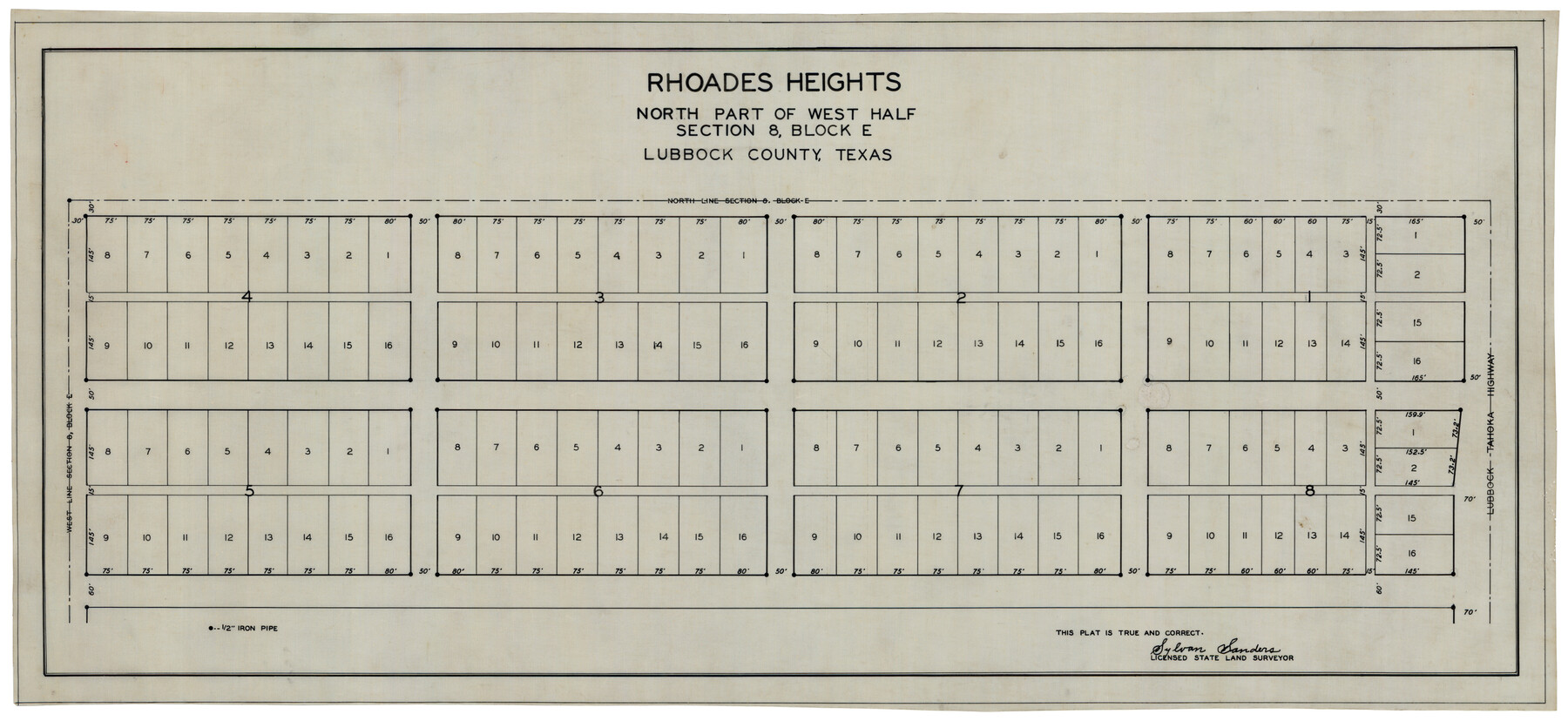
Rhoades Heights, North Part of West Half, Section 8, Block E
-
Map/Doc
92759
-
Collection
Twichell Survey Records
-
People and Organizations
Sylvan Sanders (Surveyor/Engineer)
-
Counties
Lubbock
-
Height x Width
29.2 x 13.5 inches
74.2 x 34.3 cm
Part of: Twichell Survey Records
Willie Winn Tract

Print $2.00
- Digital $50.00
Willie Winn Tract
1903
Size 5.9 x 7.6 inches
Map/Doc 92285
[S. Abercrom and surrounding surveys]
![91016, [S. Abercrom and surrounding surveys], Twichell Survey Records](https://historictexasmaps.com/wmedia_w700/maps/91016-1.tif.jpg)
Print $20.00
- Digital $50.00
[S. Abercrom and surrounding surveys]
Size 27.7 x 21.7 inches
Map/Doc 91016
Eastern Heights Addition to City of Lubbock, Texas a Subdivision of SW/4 of SW/4, Section 5, Block O, E. Hayes Sieber, Owner

Print $20.00
- Digital $50.00
Eastern Heights Addition to City of Lubbock, Texas a Subdivision of SW/4 of SW/4, Section 5, Block O, E. Hayes Sieber, Owner
1952
Size 18.0 x 23.1 inches
Map/Doc 92783
[T.& P.R.R.Co., Block 1]
![92963, [T.& P.R.R.Co., Block 1], Twichell Survey Records](https://historictexasmaps.com/wmedia_w700/maps/92963-1.tif.jpg)
Print $20.00
- Digital $50.00
[T.& P.R.R.Co., Block 1]
Size 37.5 x 31.6 inches
Map/Doc 92963
Williams Ranch Block D

Print $20.00
- Digital $50.00
Williams Ranch Block D
1953
Size 19.3 x 19.6 inches
Map/Doc 92850
[I. M. Bolton, L. S. Thacker, and R. C. Poteet Subdivisions]
![92577, [I. M. Bolton, L. S. Thacker, and R. C. Poteet Subdivisions], Twichell Survey Records](https://historictexasmaps.com/wmedia_w700/maps/92577-1.tif.jpg)
Print $20.00
- Digital $50.00
[I. M. Bolton, L. S. Thacker, and R. C. Poteet Subdivisions]
1924
Size 18.8 x 24.5 inches
Map/Doc 92577
Working Sketch Cochran and Yoakum Co's.

Print $40.00
- Digital $50.00
Working Sketch Cochran and Yoakum Co's.
1919
Size 54.2 x 14.5 inches
Map/Doc 89678
[Rusk, Sutton, Garza, and Atascosa County School Lands]
![91219, [Rusk, Sutton, Garza, and Atascosa County School Lands], Twichell Survey Records](https://historictexasmaps.com/wmedia_w700/maps/91219-1.tif.jpg)
Print $20.00
- Digital $50.00
[Rusk, Sutton, Garza, and Atascosa County School Lands]
1913
Size 18.8 x 14.5 inches
Map/Doc 91219
[H.& G.N. Block B3 in NE corner of County]
![90272, [H.& G.N. Block B3 in NE corner of County], Twichell Survey Records](https://historictexasmaps.com/wmedia_w700/maps/90272-1.tif.jpg)
Print $3.00
- Digital $50.00
[H.& G.N. Block B3 in NE corner of County]
Size 13.8 x 9.7 inches
Map/Doc 90272
[R. M. Thompson Block A, Jones County School Land, and vicinity]
![91202, [R. M. Thompson Block A, Jones County School Land, and vicinity], Twichell Survey Records](https://historictexasmaps.com/wmedia_w700/maps/91202-1.tif.jpg)
Print $20.00
- Digital $50.00
[R. M. Thompson Block A, Jones County School Land, and vicinity]
Size 15.8 x 30.0 inches
Map/Doc 91202
[North 3/4 of County]
![90840, [North 3/4 of County], Twichell Survey Records](https://historictexasmaps.com/wmedia_w700/maps/90840-2.tif.jpg)
Print $20.00
- Digital $50.00
[North 3/4 of County]
1887
Size 26.0 x 15.4 inches
Map/Doc 90840
[Sketch showing J.S. Brooks, W.B. Aldredge, Madison County School Land and Others]
![89730, [Sketch showing J.S. Brooks, W.B. Aldredge, Madison County School Land and Others], Twichell Survey Records](https://historictexasmaps.com/wmedia_w700/maps/89730-1.tif.jpg)
Print $20.00
- Digital $50.00
[Sketch showing J.S. Brooks, W.B. Aldredge, Madison County School Land and Others]
Size 37.1 x 39.9 inches
Map/Doc 89730
You may also like
[Plat showing traverse line run from I. R. Rock at southeast corner survey 58 northerly to the I. R. Rock corner at the northeast 60]
![91598, [Plat showing traverse line run from I. R. Rock at southeast corner survey 58 northerly to the I. R. Rock corner at the northeast 60], Twichell Survey Records](https://historictexasmaps.com/wmedia_w700/maps/91598-1.tif.jpg)
Print $20.00
- Digital $50.00
[Plat showing traverse line run from I. R. Rock at southeast corner survey 58 northerly to the I. R. Rock corner at the northeast 60]
1935
Size 21.7 x 18.0 inches
Map/Doc 91598
The Republic County of Nacogdoches. January 1, 1838

Print $20.00
The Republic County of Nacogdoches. January 1, 1838
2020
Size 17.5 x 21.7 inches
Map/Doc 96244
Flight Mission No. DIX-10P, Frame 144, Aransas County

Print $20.00
- Digital $50.00
Flight Mission No. DIX-10P, Frame 144, Aransas County
1956
Size 18.6 x 22.3 inches
Map/Doc 83946
Angelina County Sketch File 23a

Print $4.00
- Digital $50.00
Angelina County Sketch File 23a
1904
Size 11.2 x 8.6 inches
Map/Doc 13063
Boundary Between the United States & Mexico Agreed upon by the Joint Commission under the Treaty of Guadalupe Hidalgo

Print $20.00
- Digital $50.00
Boundary Between the United States & Mexico Agreed upon by the Joint Commission under the Treaty of Guadalupe Hidalgo
1853
Size 18.3 x 26.7 inches
Map/Doc 72885
Baylor County, Texas

Print $20.00
- Digital $50.00
Baylor County, Texas
Size 21.7 x 18.9 inches
Map/Doc 525
Jones County Sketch File 15

Print $40.00
- Digital $50.00
Jones County Sketch File 15
1892
Size 13.7 x 16.3 inches
Map/Doc 28503
El Paso County Rolled Sketch 33

Print $42.00
- Digital $50.00
El Paso County Rolled Sketch 33
Size 35.1 x 25.6 inches
Map/Doc 8867
Lampasas County Sketch File 4

Print $4.00
- Digital $50.00
Lampasas County Sketch File 4
1861
Size 12.3 x 8.2 inches
Map/Doc 29394
Reagan County Working Sketch 43

Print $20.00
- Digital $50.00
Reagan County Working Sketch 43
1984
Size 36.4 x 27.1 inches
Map/Doc 71885
Sheet 1 copied from Peck Book 6 [Strip Map showing T. & P. connecting lines]
![93169, Sheet 1 copied from Peck Book 6 [Strip Map showing T. & P. connecting lines], Twichell Survey Records](https://historictexasmaps.com/wmedia_w700/maps/93169-1.tif.jpg)
Print $40.00
- Digital $50.00
Sheet 1 copied from Peck Book 6 [Strip Map showing T. & P. connecting lines]
1909
Size 6.8 x 83.1 inches
Map/Doc 93169
Corpus Christi Bay, Texas

Print $40.00
- Digital $50.00
Corpus Christi Bay, Texas
1867
Size 33.0 x 48.7 inches
Map/Doc 73467