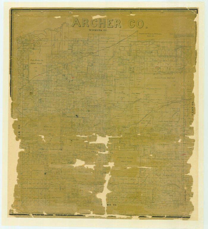
[R. M. Thompson Block A, Jones County School Land, and vicinity]
110-53
-
Map/Doc
91202
-
Collection
Twichell Survey Records
-
Counties
Hockley
-
Height x Width
15.8 x 30.0 inches
40.1 x 76.2 cm
Part of: Twichell Survey Records
Hockley County


Print $20.00
- Digital $50.00
Hockley County
1914
Size 22.3 x 25.9 inches
Map/Doc 92244
Double Lakes No. 1 T-Ranch Lynn County, Texas


Print $20.00
- Digital $50.00
Double Lakes No. 1 T-Ranch Lynn County, Texas
Size 36.8 x 31.8 inches
Map/Doc 93216
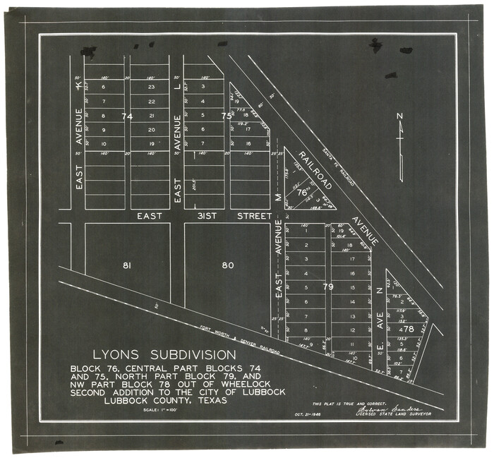
Lyons Subdivision

Print $20.00
- Digital $50.00
Lyons Subdivision
1946
Size 17.5 x 16.3 inches
Map/Doc 92429
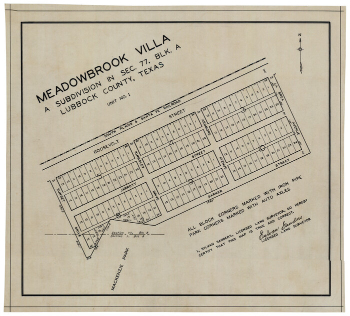
Meadowbrook Villa a Subdivision in Section 77, Blk A

Print $20.00
- Digital $50.00
Meadowbrook Villa a Subdivision in Section 77, Blk A
Size 14.4 x 13.1 inches
Map/Doc 92768
[Northwest Portion of King County]
![90978, [Northwest Portion of King County], Twichell Survey Records](https://historictexasmaps.com/wmedia_w700/maps/90978-1.tif.jpg)
![90978, [Northwest Portion of King County], Twichell Survey Records](https://historictexasmaps.com/wmedia_w700/maps/90978-1.tif.jpg)
Print $20.00
- Digital $50.00
[Northwest Portion of King County]
Size 28.7 x 35.7 inches
Map/Doc 90978
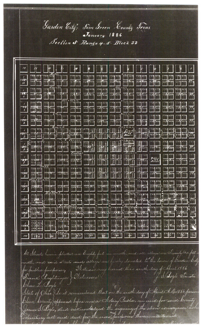
Garden City Townsite, Section 5, Range 4 South, Block 33

Print $3.00
- Digital $50.00
Garden City Townsite, Section 5, Range 4 South, Block 33
1886
Size 9.4 x 14.5 inches
Map/Doc 90764
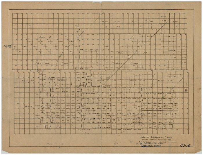
Map of Spearman Lands

Print $20.00
- Digital $50.00
Map of Spearman Lands
Size 20.0 x 15.4 inches
Map/Doc 90793
[Area north of Leagues 1 & 4, Morris County School Land]
![90353, [Area north of Leagues 1 & 4, Morris County School Land], Twichell Survey Records](https://historictexasmaps.com/wmedia_w700/maps/90353-1.tif.jpg)
![90353, [Area north of Leagues 1 & 4, Morris County School Land], Twichell Survey Records](https://historictexasmaps.com/wmedia_w700/maps/90353-1.tif.jpg)
Print $20.00
- Digital $50.00
[Area north of Leagues 1 & 4, Morris County School Land]
Size 21.3 x 16.0 inches
Map/Doc 90353
[Sketch Showing Wm. T. Brewer, John R. Taylor, Wm. F. Butler, Timothy DeVore, L. M. Thorn and adjoining surveys]
![90231, [Sketch Showing Wm. T. Brewer, John R. Taylor, Wm. F. Butler, Timothy DeVore, L. M. Thorn and adjoining surveys], Twichell Survey Records](https://historictexasmaps.com/wmedia_w700/maps/90231-1.tif.jpg)
![90231, [Sketch Showing Wm. T. Brewer, John R. Taylor, Wm. F. Butler, Timothy DeVore, L. M. Thorn and adjoining surveys], Twichell Survey Records](https://historictexasmaps.com/wmedia_w700/maps/90231-1.tif.jpg)
Print $20.00
- Digital $50.00
[Sketch Showing Wm. T. Brewer, John R. Taylor, Wm. F. Butler, Timothy DeVore, L. M. Thorn and adjoining surveys]
Size 27.2 x 19.4 inches
Map/Doc 90231
Plat showing Deed Locations in East Half Section 2, Block E


Print $20.00
- Digital $50.00
Plat showing Deed Locations in East Half Section 2, Block E
Size 16.2 x 30.1 inches
Map/Doc 92736
[Township 5 North, Blocks 33 and 34]
![92568, [Township 5 North, Blocks 33 and 34], Twichell Survey Records](https://historictexasmaps.com/wmedia_w700/maps/92568-1.tif.jpg)
![92568, [Township 5 North, Blocks 33 and 34], Twichell Survey Records](https://historictexasmaps.com/wmedia_w700/maps/92568-1.tif.jpg)
Print $20.00
- Digital $50.00
[Township 5 North, Blocks 33 and 34]
Size 26.3 x 18.7 inches
Map/Doc 92568
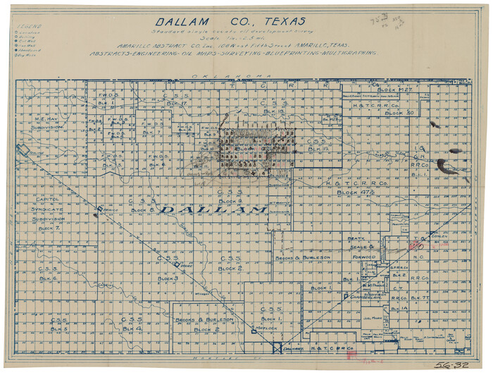
Dallam Co. Texas, Standard Single County Oil Development Survey

Print $20.00
- Digital $50.00
Dallam Co. Texas, Standard Single County Oil Development Survey
Size 20.7 x 15.8 inches
Map/Doc 90583
You may also like
[State of Texas]
![92061, [State of Texas], Twichell Survey Records](https://historictexasmaps.com/wmedia_w700/maps/92061-1.tif.jpg)
![92061, [State of Texas], Twichell Survey Records](https://historictexasmaps.com/wmedia_w700/maps/92061-1.tif.jpg)
Print $20.00
- Digital $50.00
[State of Texas]
Size 13.7 x 13.7 inches
Map/Doc 92061
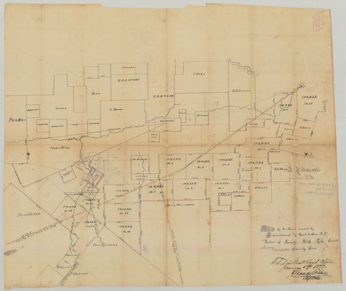
Trinity County Sketch File 21

Print $20.00
- Digital $50.00
Trinity County Sketch File 21
Size 22.2 x 34.5 inches
Map/Doc 12486
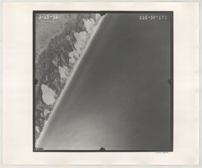
Flight Mission No. CUG-3P, Frame 190, Kleberg County

Print $20.00
- Digital $50.00
Flight Mission No. CUG-3P, Frame 190, Kleberg County
1956
Size 18.6 x 22.4 inches
Map/Doc 86294
Flight Mission No. BRA-8M, Frame 66, Jefferson County
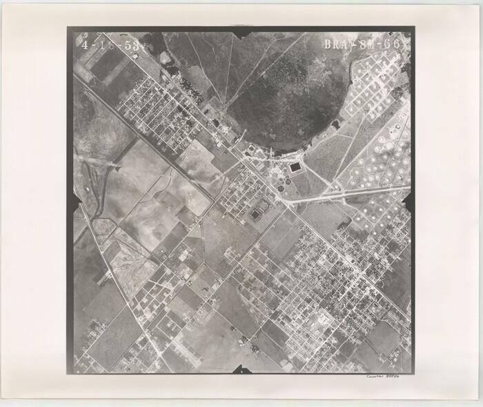

Print $20.00
- Digital $50.00
Flight Mission No. BRA-8M, Frame 66, Jefferson County
1953
Size 18.6 x 22.1 inches
Map/Doc 85586
Angelina County Working Sketch 20
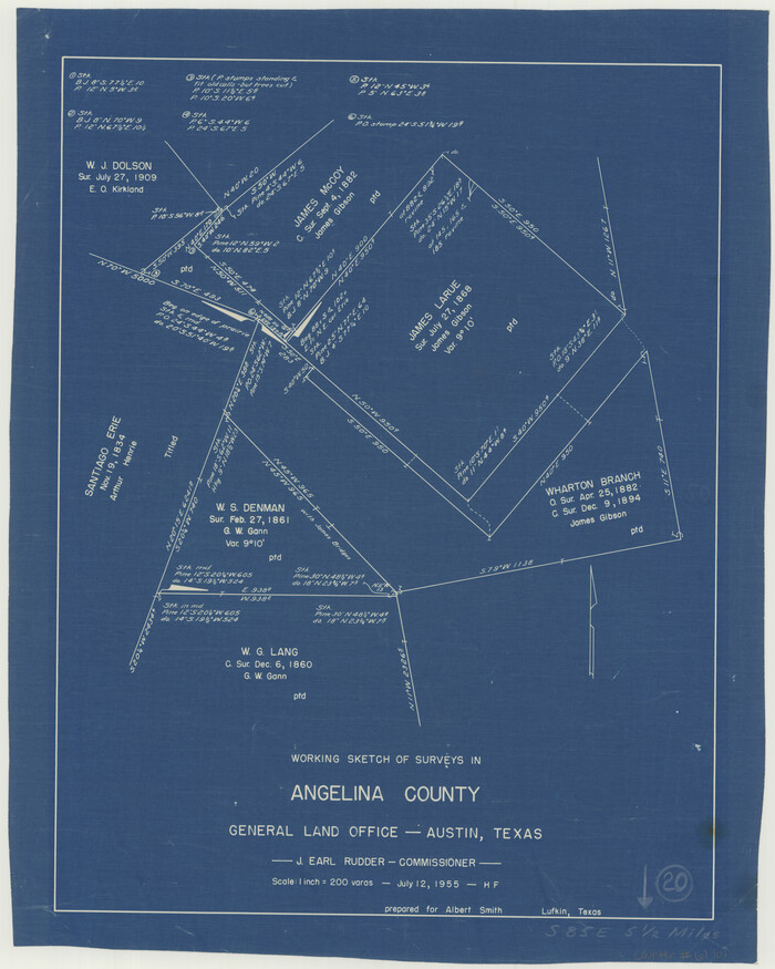

Print $20.00
- Digital $50.00
Angelina County Working Sketch 20
1955
Size 18.8 x 15.0 inches
Map/Doc 67101
A Comprehensive Atlas Geographical, Historical & Commercial


A Comprehensive Atlas Geographical, Historical & Commercial
Size 13.0 x 10.7 inches
Map/Doc 95959
Haskell County Sketch File 22
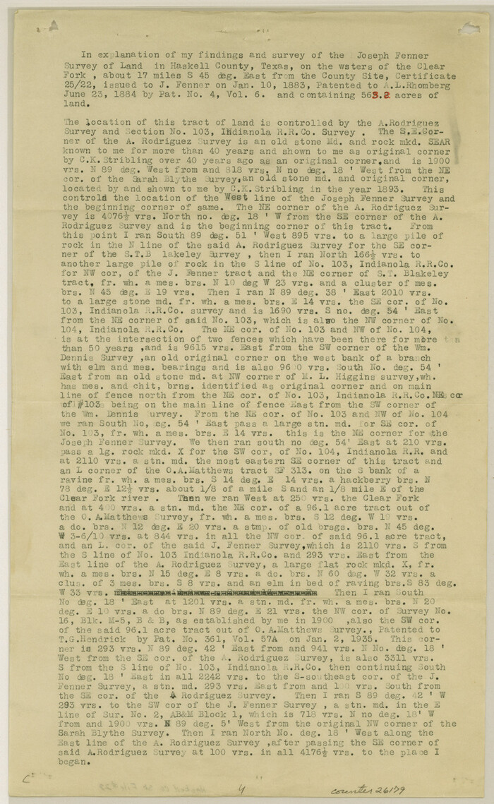

Print $6.00
- Digital $50.00
Haskell County Sketch File 22
Size 14.3 x 8.8 inches
Map/Doc 26179
Uvalde County Rolled Sketch 5


Print $20.00
- Digital $50.00
Uvalde County Rolled Sketch 5
Size 38.0 x 42.6 inches
Map/Doc 10063
Flight Mission No. CGN-3P, Frame 142, San Patricio County
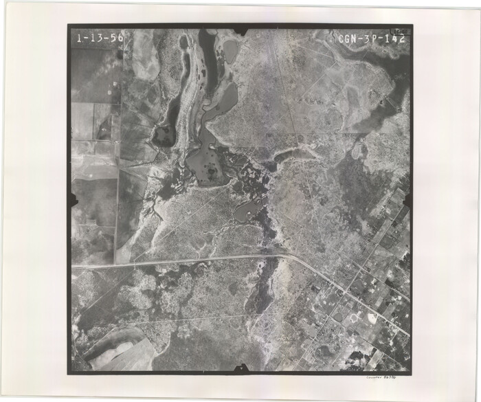

Print $20.00
- Digital $50.00
Flight Mission No. CGN-3P, Frame 142, San Patricio County
1956
Size 18.5 x 22.1 inches
Map/Doc 86986
Starr County Working Sketch 17


Print $20.00
- Digital $50.00
Starr County Working Sketch 17
1982
Size 46.1 x 42.7 inches
Map/Doc 63933
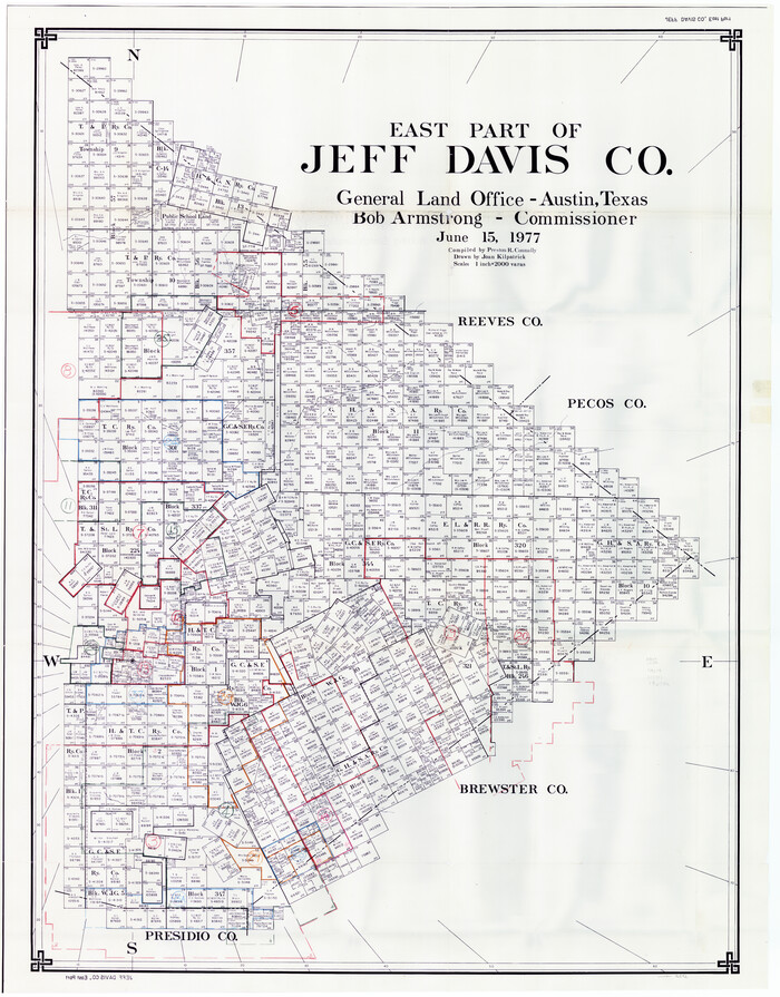
Jeff Davis County Working Sketch Graphic Index - east part

Print $20.00
- Digital $50.00
Jeff Davis County Working Sketch Graphic Index - east part
1977
Size 46.6 x 36.8 inches
Map/Doc 76592
![91202, [R. M. Thompson Block A, Jones County School Land, and vicinity], Twichell Survey Records](https://historictexasmaps.com/wmedia_w1800h1800/maps/91202-1.tif.jpg)
