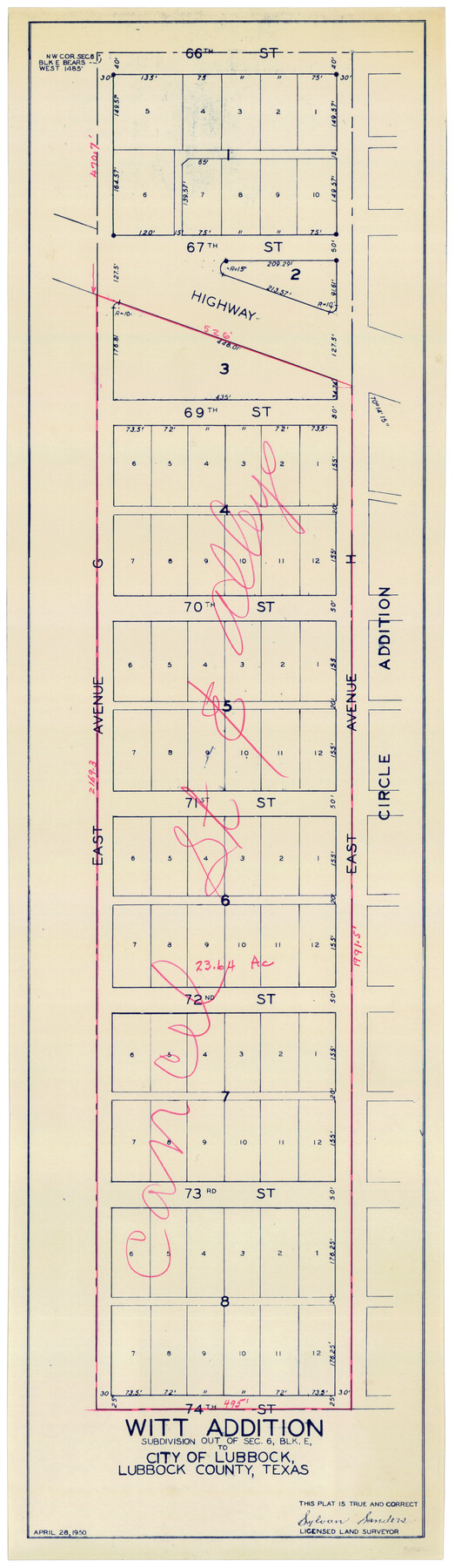
Witt Addition, Subdivision out of Section 6, Block E, City of Lubbock
-
Map/Doc
92739
-
Collection
Twichell Survey Records
-
Object Dates
4/28/1950 (Creation Date)
-
People and Organizations
Sylvan Sanders (Surveyor/Engineer)
-
Counties
Lubbock
-
Height x Width
9.1 x 30.9 inches
23.1 x 78.5 cm
Part of: Twichell Survey Records
Working Sketch in Caldwell County

Print $20.00
- Digital $50.00
Working Sketch in Caldwell County
1922
Size 41.1 x 44.4 inches
Map/Doc 89722
[H. & T. C. Block 47, Sections 58-66 and part of Block 3]
![91791, [H. & T. C. Block 47, Sections 58-66 and part of Block 3], Twichell Survey Records](https://historictexasmaps.com/wmedia_w700/maps/91791-1.tif.jpg)
Print $20.00
- Digital $50.00
[H. & T. C. Block 47, Sections 58-66 and part of Block 3]
Size 24.1 x 12.7 inches
Map/Doc 91791
Working Sketch Bastrop County

Print $20.00
- Digital $50.00
Working Sketch Bastrop County
1923
Size 16.9 x 13.3 inches
Map/Doc 90146
[Sketch Between Hemphill County and Oklahoma]
![89670, [Sketch Between Hemphill County and Oklahoma], Twichell Survey Records](https://historictexasmaps.com/wmedia_w700/maps/89670-1.tif.jpg)
Print $40.00
- Digital $50.00
[Sketch Between Hemphill County and Oklahoma]
Size 60.4 x 7.8 inches
Map/Doc 89670
[John H. Robinson, John H. Gibson, and vicinity]
![91043, [John H. Robinson, John H. Gibson, and vicinity], Twichell Survey Records](https://historictexasmaps.com/wmedia_w700/maps/91043-1.tif.jpg)
Print $20.00
- Digital $50.00
[John H. Robinson, John H. Gibson, and vicinity]
Size 19.9 x 29.5 inches
Map/Doc 91043
Revised Sectional Map Number 2, Lands in Texas and Pacific Railway Reservation From Westbrook Station in Mitchell County to Metz Station in Ector County

Print $20.00
- Digital $50.00
Revised Sectional Map Number 2, Lands in Texas and Pacific Railway Reservation From Westbrook Station in Mitchell County to Metz Station in Ector County
Size 25.1 x 19.6 inches
Map/Doc 91366
[River Sections 58-62 and vicinity]
![91587, [River Sections 58-62 and vicinity], Twichell Survey Records](https://historictexasmaps.com/wmedia_w700/maps/91587-1.tif.jpg)
Print $20.00
- Digital $50.00
[River Sections 58-62 and vicinity]
Size 17.6 x 14.6 inches
Map/Doc 91587
[Crocket County School Land along Bailey and Lamb County Line]
![90197, [Crocket County School Land along Bailey and Lamb County Line], Twichell Survey Records](https://historictexasmaps.com/wmedia_w700/maps/90197-1.tif.jpg)
Print $20.00
- Digital $50.00
[Crocket County School Land along Bailey and Lamb County Line]
Size 26.8 x 18.9 inches
Map/Doc 90197
Sur. Sketch S. F. 6855

Print $20.00
- Digital $50.00
Sur. Sketch S. F. 6855
Size 20.2 x 10.2 inches
Map/Doc 90788
[Map showing J. H. Gibson Blocks D and DD]
![92006, [Map showing J. H. Gibson Blocks D and DD], Twichell Survey Records](https://historictexasmaps.com/wmedia_w700/maps/92006-1.tif.jpg)
Print $20.00
- Digital $50.00
[Map showing J. H. Gibson Blocks D and DD]
Size 31.5 x 22.0 inches
Map/Doc 92006
Sketch Showing Section 3, Block JW, Subdivided to Show Quantity East of Texas Sections

Print $40.00
- Digital $50.00
Sketch Showing Section 3, Block JW, Subdivided to Show Quantity East of Texas Sections
Size 5.8 x 49.9 inches
Map/Doc 91303
Eastern South America Brazil, Paraguay, Uruguay, and the Guianas

Eastern South America Brazil, Paraguay, Uruguay, and the Guianas
1955
Size 29.8 x 41.2 inches
Map/Doc 92389
You may also like
Townships 14 and 15 South Range 16 West of the Louisiana Meridian, Louisiana

Print $20.00
- Digital $50.00
Townships 14 and 15 South Range 16 West of the Louisiana Meridian, Louisiana
1875
Size 19.7 x 24.8 inches
Map/Doc 65860
Presidio County Rolled Sketch 144

Print $20.00
- Digital $50.00
Presidio County Rolled Sketch 144
2010
Size 36.0 x 24.0 inches
Map/Doc 89602
Hale County Working Sketch 2

Print $20.00
- Digital $50.00
Hale County Working Sketch 2
1916
Size 13.5 x 13.1 inches
Map/Doc 63322
Maps of Gulf Intracoastal Waterway, Texas - Sabine River to the Rio Grande and connecting waterways including ship channels

Print $20.00
- Digital $50.00
Maps of Gulf Intracoastal Waterway, Texas - Sabine River to the Rio Grande and connecting waterways including ship channels
1966
Size 14.6 x 22.2 inches
Map/Doc 61970
Williamson County Working Sketch 3

Print $20.00
- Digital $50.00
Williamson County Working Sketch 3
1915
Size 17.9 x 20.2 inches
Map/Doc 72563
Hays County Rolled Sketch 23

Print $20.00
- Digital $50.00
Hays County Rolled Sketch 23
Size 20.1 x 19.4 inches
Map/Doc 6179
Erath County Boundary File 1

Print $8.00
- Digital $50.00
Erath County Boundary File 1
Size 13.1 x 8.8 inches
Map/Doc 53237
Rio Grande, Willamar Sheet

Print $20.00
- Digital $50.00
Rio Grande, Willamar Sheet
1937
Size 36.9 x 37.2 inches
Map/Doc 65111
Galveston Bay and Approaches

Print $20.00
- Digital $50.00
Galveston Bay and Approaches
1946
Size 45.5 x 34.0 inches
Map/Doc 69876
Crockett County Rolled Sketch 72

Print $20.00
- Digital $50.00
Crockett County Rolled Sketch 72
1949
Size 26.9 x 22.0 inches
Map/Doc 5613
Lampasas County Sketch File 11

Print $4.00
- Digital $50.00
Lampasas County Sketch File 11
1874
Size 12.2 x 7.9 inches
Map/Doc 29420
El Paso County Sketch File 14

Print $20.00
- Digital $50.00
El Paso County Sketch File 14
1922
Size 24.0 x 17.2 inches
Map/Doc 11452