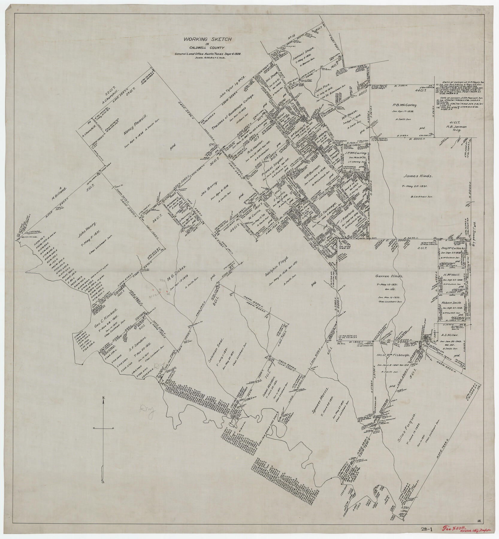
Working Sketch in Caldwell County
28-1
-
Map/Doc
89722
-
Collection
Twichell Survey Records
-
Object Dates
9/6/1922 (Creation Date)
-
Counties
Caldwell
-
Height x Width
41.1 x 44.4 inches
104.4 x 112.8 cm
Part of: Twichell Survey Records
[Sketch showing Blocks B-11, G and M-2 and 3, L, and 47, Sections 77-102]
![91734, [Sketch showing Blocks B-11, G and M-2 and 3, L, and 47, Sections 77-102], Twichell Survey Records](https://historictexasmaps.com/wmedia_w700/maps/91734-1.tif.jpg)
Print $20.00
- Digital $50.00
[Sketch showing Blocks B-11, G and M-2 and 3, L, and 47, Sections 77-102]
Size 25.6 x 18.9 inches
Map/Doc 91734
[SW Corner of Yoakum County]
![92443, [SW Corner of Yoakum County], Twichell Survey Records](https://historictexasmaps.com/wmedia_w700/maps/92443-1.tif.jpg)
Print $20.00
- Digital $50.00
[SW Corner of Yoakum County]
Size 24.2 x 18.5 inches
Map/Doc 92443
[Blocks 3, Q, and vicinity]
![91274, [Blocks 3, Q, and vicinity], Twichell Survey Records](https://historictexasmaps.com/wmedia_w700/maps/91274-1.tif.jpg)
Print $20.00
- Digital $50.00
[Blocks 3, Q, and vicinity]
Size 19.4 x 8.9 inches
Map/Doc 91274
[Floyd County School Land Lgs. 180-183, Fisher County School Land Lgs. 105-108, and part of Blk. V]
![90191, [Floyd County Schoo Land Lgs. 180-183, Fisher County School Land Lgs. 105-108, and part of Blk. V], Twichell Survey Records](https://historictexasmaps.com/wmedia_w700/maps/90191-1.tif.jpg)
Print $2.00
- Digital $50.00
[Floyd County School Land Lgs. 180-183, Fisher County School Land Lgs. 105-108, and part of Blk. V]
Size 8.8 x 10.3 inches
Map/Doc 90191
Correct Map Lamb County (skeleton sketch)

Print $40.00
- Digital $50.00
Correct Map Lamb County (skeleton sketch)
Size 56.3 x 79.2 inches
Map/Doc 93140
[Blocks M13, S1, C3, JK3, and JK]
![90700, [Blocks M13, S1, C3, JK3, and JK], Twichell Survey Records](https://historictexasmaps.com/wmedia_w700/maps/90700-1.tif.jpg)
Print $20.00
- Digital $50.00
[Blocks M13, S1, C3, JK3, and JK]
Size 26.9 x 15.4 inches
Map/Doc 90700
Plat Showing Part of Block Y, W. D. and F. W. Johnson Subdivision Number 2; and Part of Block W, Edward K. Warren Subdivision Number 1

Print $20.00
- Digital $50.00
Plat Showing Part of Block Y, W. D. and F. W. Johnson Subdivision Number 2; and Part of Block W, Edward K. Warren Subdivision Number 1
1954
Size 23.3 x 17.4 inches
Map/Doc 92502
Ownership Map NE 1/4 Lubbock County

Print $20.00
- Digital $50.00
Ownership Map NE 1/4 Lubbock County
Size 37.5 x 39.8 inches
Map/Doc 89896
[H. & T. C. Blocks 25 and 26]
![92025, [H. & T. C. Blocks 25 and 26], Twichell Survey Records](https://historictexasmaps.com/wmedia_w700/maps/92025-1.tif.jpg)
Print $20.00
- Digital $50.00
[H. & T. C. Blocks 25 and 26]
1873
Size 42.2 x 33.9 inches
Map/Doc 92025
[Coleman County Sections 359, 360, and 361]
![92553, [Coleman County Sections 359, 360, and 361], Twichell Survey Records](https://historictexasmaps.com/wmedia_w700/maps/92553-1.tif.jpg)
Print $20.00
- Digital $50.00
[Coleman County Sections 359, 360, and 361]
Size 17.6 x 22.5 inches
Map/Doc 92553
[Yates survey 34 1/2 and vicinity]
![91689, [Yates survey 34 1/2 and vicinity], Twichell Survey Records](https://historictexasmaps.com/wmedia_w700/maps/91689-1.tif.jpg)
Print $20.00
- Digital $50.00
[Yates survey 34 1/2 and vicinity]
Size 12.6 x 17.8 inches
Map/Doc 91689
[T. & P. Block 44, Township 2S]
![90949, [T. & P. Block 44, Township 2S], Twichell Survey Records](https://historictexasmaps.com/wmedia_w700/maps/90949-1.tif.jpg)
Print $20.00
- Digital $50.00
[T. & P. Block 44, Township 2S]
Size 10.0 x 21.9 inches
Map/Doc 90949
You may also like
Roberts County Working Sketch 35

Print $20.00
- Digital $50.00
Roberts County Working Sketch 35
1978
Size 26.7 x 22.5 inches
Map/Doc 63561
Pecos County Sketch File 43

Print $20.00
- Digital $50.00
Pecos County Sketch File 43
Size 16.1 x 30.4 inches
Map/Doc 12178
Bexar County Sketch File 1

Print $42.00
- Digital $50.00
Bexar County Sketch File 1
1848
Size 12.5 x 16.2 inches
Map/Doc 14465
Presidio County Sketch File 46

Print $8.00
- Digital $50.00
Presidio County Sketch File 46
1915
Size 10.2 x 8.3 inches
Map/Doc 34535
Wichita County Sketch File 16

Print $4.00
- Digital $50.00
Wichita County Sketch File 16
1890
Size 12.9 x 8.9 inches
Map/Doc 40095
Taylor County Sketch File 20

Print $20.00
- Digital $50.00
Taylor County Sketch File 20
1950
Size 32.1 x 46.1 inches
Map/Doc 10385
Sulphur River, Bexelder Sheet/Cuthand Creek

Print $20.00
- Digital $50.00
Sulphur River, Bexelder Sheet/Cuthand Creek
Size 17.3 x 14.1 inches
Map/Doc 78325
Harris County Working Sketch 9

Print $20.00
- Digital $50.00
Harris County Working Sketch 9
1908
Size 27.7 x 39.4 inches
Map/Doc 65901
Brewster County Sketch File NS-4d

Print $8.00
- Digital $50.00
Brewster County Sketch File NS-4d
Size 14.0 x 8.7 inches
Map/Doc 15961
San Jacinto County Sketch File 4

Print $4.00
San Jacinto County Sketch File 4
1857
Size 12.9 x 7.9 inches
Map/Doc 35700
Flight Mission No. DAH-17M, Frame 18, Orange County

Print $20.00
- Digital $50.00
Flight Mission No. DAH-17M, Frame 18, Orange County
1953
Size 18.5 x 22.6 inches
Map/Doc 86881
Flight Mission No. CGI-1N, Frame 219, Cameron County

Print $20.00
- Digital $50.00
Flight Mission No. CGI-1N, Frame 219, Cameron County
1955
Size 18.6 x 22.2 inches
Map/Doc 84528