[Block M, Section 132, Dawson County, Texas]
DN130
-
Map/Doc
92631
-
Collection
Twichell Survey Records
-
Object Dates
10/31/1951 (Creation Date)
-
People and Organizations
Sylvan Sanders (Surveyor/Engineer)
-
Counties
Dawson
-
Height x Width
15.9 x 14.3 inches
40.4 x 36.3 cm
Part of: Twichell Survey Records
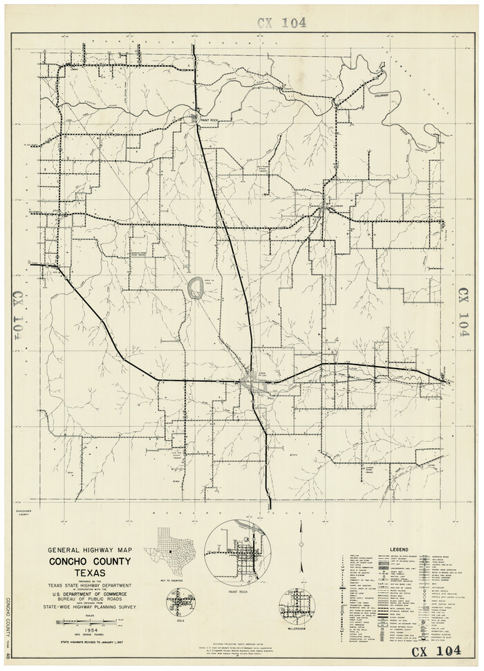
General Highway Map, Concho County, Texas

Print $20.00
- Digital $50.00
General Highway Map, Concho County, Texas
1954
Size 18.7 x 25.8 inches
Map/Doc 92551
[Survey 321, Double Lakes Area, Northwest of Tohoka]
![91299, [Survey 321, Double Lakes Area, Northwest of Tohoka], Twichell Survey Records](https://historictexasmaps.com/wmedia_w700/maps/91299-1.tif.jpg)
![91299, [Survey 321, Double Lakes Area, Northwest of Tohoka], Twichell Survey Records](https://historictexasmaps.com/wmedia_w700/maps/91299-1.tif.jpg)
Print $20.00
- Digital $50.00
[Survey 321, Double Lakes Area, Northwest of Tohoka]
Size 26.9 x 19.5 inches
Map/Doc 91299
Littlefield, being a part of League 664, Lamb County, Texas


Print $20.00
- Digital $50.00
Littlefield, being a part of League 664, Lamb County, Texas
1912
Size 30.5 x 16.9 inches
Map/Doc 92150
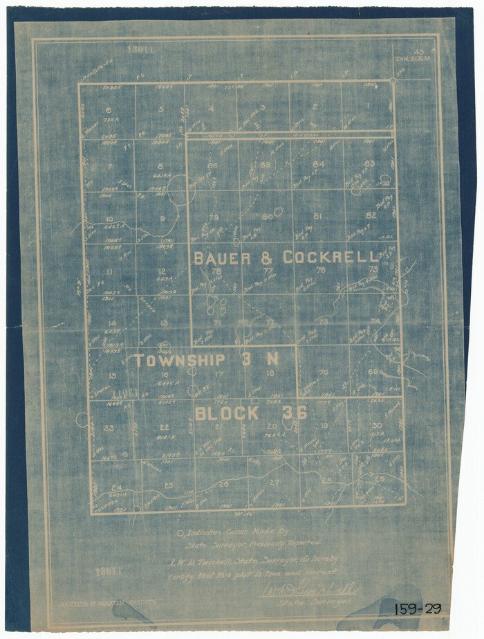
Block 36, Township 3 North

Print $20.00
- Digital $50.00
Block 36, Township 3 North
Size 12.0 x 15.9 inches
Map/Doc 91289
Working Sketch in McMullen County


Print $20.00
- Digital $50.00
Working Sketch in McMullen County
1919
Size 20.3 x 31.7 inches
Map/Doc 91345
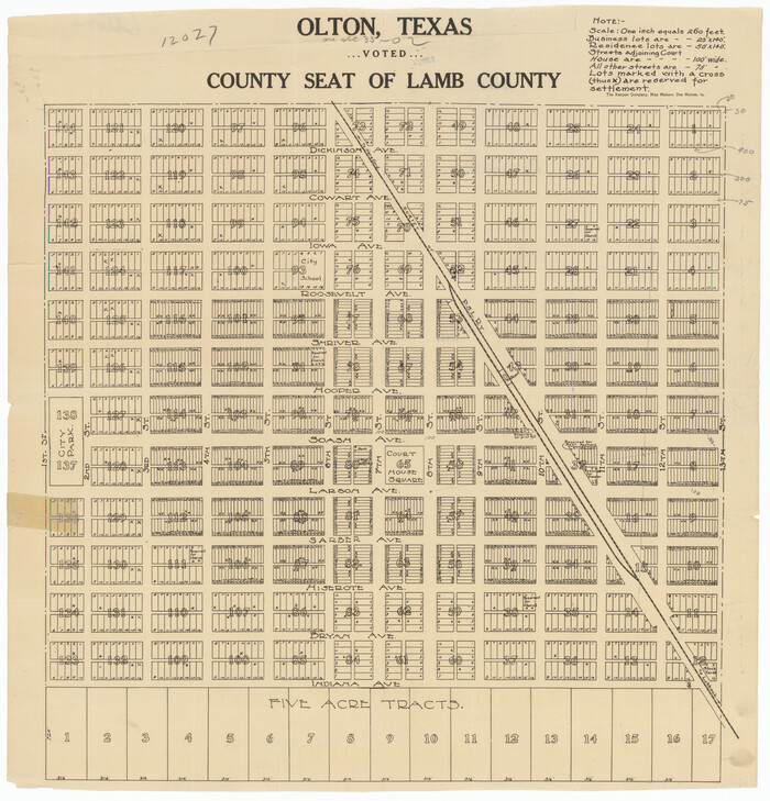
Olton, Texas Voted County Seat of Lamb County

Print $20.00
- Digital $50.00
Olton, Texas Voted County Seat of Lamb County
Size 23.2 x 24.1 inches
Map/Doc 92151
University of Texas System University Lands


Print $20.00
- Digital $50.00
University of Texas System University Lands
1938
Size 23.4 x 17.9 inches
Map/Doc 93243
[State Capitol Lands]
![91650, [State Capitol Lands], Twichell Survey Records](https://historictexasmaps.com/wmedia_w700/maps/91650-1.tif.jpg)
![91650, [State Capitol Lands], Twichell Survey Records](https://historictexasmaps.com/wmedia_w700/maps/91650-1.tif.jpg)
Print $20.00
- Digital $50.00
[State Capitol Lands]
1902
Size 33.1 x 29.3 inches
Map/Doc 91650
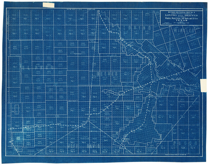
Revised Sectional Map No. 3 Showing Land Surveys in Counties of Loving and Reeves and Portions of Winkler, Ward, Pecos, Jeff Davis and El Paso

Print $20.00
- Digital $50.00
Revised Sectional Map No. 3 Showing Land Surveys in Counties of Loving and Reeves and Portions of Winkler, Ward, Pecos, Jeff Davis and El Paso
Size 24.7 x 19.4 inches
Map/Doc 92902
[Catfish Creek Survey]
![92647, [Catfish Creek Survey], Twichell Survey Records](https://historictexasmaps.com/wmedia_w700/maps/92647-1.tif.jpg)
![92647, [Catfish Creek Survey], Twichell Survey Records](https://historictexasmaps.com/wmedia_w700/maps/92647-1.tif.jpg)
Print $20.00
- Digital $50.00
[Catfish Creek Survey]
1916
Size 21.9 x 26.0 inches
Map/Doc 92647
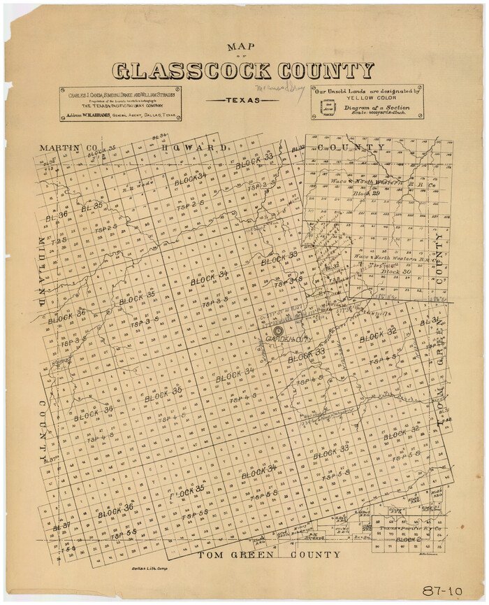
Map of Glasscock County

Print $20.00
- Digital $50.00
Map of Glasscock County
Size 19.1 x 23.1 inches
Map/Doc 90781
City of Plainview, Hale County, Texas


Print $40.00
- Digital $50.00
City of Plainview, Hale County, Texas
Size 43.5 x 53.3 inches
Map/Doc 89841
You may also like
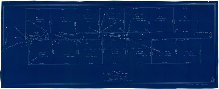
Brewster County Working Sketch 24

Print $20.00
- Digital $50.00
Brewster County Working Sketch 24
1939
Size 17.2 x 42.1 inches
Map/Doc 67558
Fayette County Boundary File 2

Print $53.00
- Digital $50.00
Fayette County Boundary File 2
Size 11.2 x 9.0 inches
Map/Doc 53331
Dawson County Sketch [showing T. & P. Blocks 34 and 33, Township 5 N]
![90546, Dawson County Sketch [showing T. & P. Blocks 34 and 33, Township 5 N], Twichell Survey Records](https://historictexasmaps.com/wmedia_w700/maps/90546-1.tif.jpg)
![90546, Dawson County Sketch [showing T. & P. Blocks 34 and 33, Township 5 N], Twichell Survey Records](https://historictexasmaps.com/wmedia_w700/maps/90546-1.tif.jpg)
Print $2.00
- Digital $50.00
Dawson County Sketch [showing T. & P. Blocks 34 and 33, Township 5 N]
Size 12.6 x 7.0 inches
Map/Doc 90546
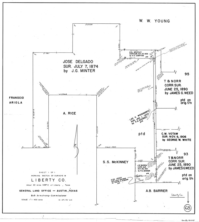
Liberty County Working Sketch 68

Print $20.00
- Digital $50.00
Liberty County Working Sketch 68
1972
Size 27.4 x 24.6 inches
Map/Doc 70528
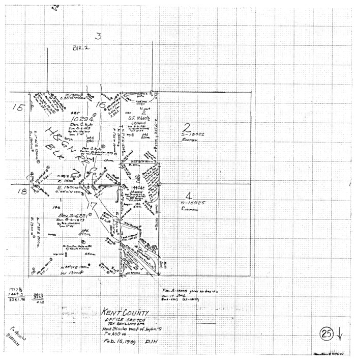
Kent County Working Sketch 25

Print $20.00
- Digital $50.00
Kent County Working Sketch 25
1989
Size 18.8 x 18.5 inches
Map/Doc 69641
Map of Texas with parts of the Adjoining States


Print $20.00
- Digital $50.00
Map of Texas with parts of the Adjoining States
1830
Size 29.6 x 24.1 inches
Map/Doc 94440
San Patricio County Working Sketch 22


Print $20.00
- Digital $50.00
San Patricio County Working Sketch 22
1981
Size 30.0 x 24.1 inches
Map/Doc 63784
[Sketch of the Robertson League on the Brazos River showing a conflict with T.J. Chambers]
![3178, [Sketch of the Robertson League on the Brazos River showing a conflict with T.J. Chambers], General Map Collection](https://historictexasmaps.com/wmedia_w700/maps/3178.tif.jpg)
![3178, [Sketch of the Robertson League on the Brazos River showing a conflict with T.J. Chambers], General Map Collection](https://historictexasmaps.com/wmedia_w700/maps/3178.tif.jpg)
Print $2.00
- Digital $50.00
[Sketch of the Robertson League on the Brazos River showing a conflict with T.J. Chambers]
1841
Size 7.6 x 12.6 inches
Map/Doc 3178
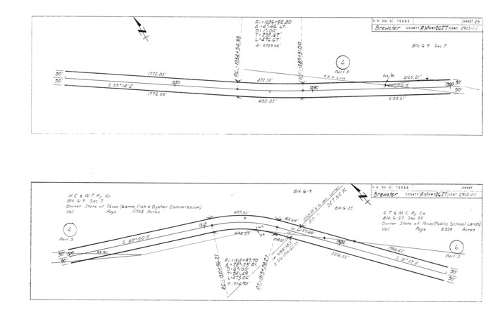
Brewster County Rolled Sketch 114

Print $20.00
- Digital $50.00
Brewster County Rolled Sketch 114
1964
Size 11.7 x 17.9 inches
Map/Doc 5288
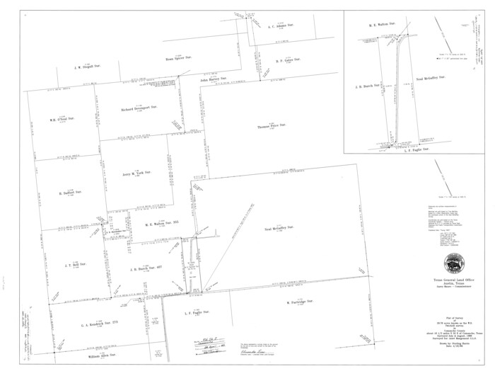
Comanche County Rolled Sketch 2

Print $40.00
- Digital $50.00
Comanche County Rolled Sketch 2
1989
Size 36.9 x 48.6 inches
Map/Doc 10299
Aransas County Sketch File 3


Print $4.00
- Digital $50.00
Aransas County Sketch File 3
Size 8.0 x 12.7 inches
Map/Doc 13104
![92631, [Block M, Section 132, Dawson County, Texas], Twichell Survey Records](https://historictexasmaps.com/wmedia_w1800h1800/maps/92631-1.tif.jpg)
