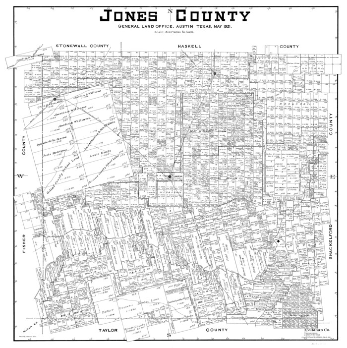
[Block C-41, Sections 32, 35, 35 1/2, and vicinity]
DN116
-
Map/Doc
92622
-
Collection
Twichell Survey Records
-
Object Dates
4/18/1951 (Creation Date)
-
People and Organizations
Sylvan Sanders (Surveyor/Engineer)
-
Counties
Dawson
-
Height x Width
20.8 x 9.1 inches
52.8 x 23.1 cm
Part of: Twichell Survey Records
Plains, Yoakum County, Texas


Print $20.00
- Digital $50.00
Plains, Yoakum County, Texas
Size 41.0 x 43.6 inches
Map/Doc 89907
[Blocks 34-36, Township 1N]
![92031, [Blocks 34-36, Township 1N], Twichell Survey Records](https://historictexasmaps.com/wmedia_w700/maps/92031-1.tif.jpg)
![92031, [Blocks 34-36, Township 1N], Twichell Survey Records](https://historictexasmaps.com/wmedia_w700/maps/92031-1.tif.jpg)
Print $20.00
- Digital $50.00
[Blocks 34-36, Township 1N]
Size 36.8 x 23.8 inches
Map/Doc 92031
[Blocks D3 and GP]
![91504, [Blocks D3 and GP], Twichell Survey Records](https://historictexasmaps.com/wmedia_w700/maps/91504-1.tif.jpg)
![91504, [Blocks D3 and GP], Twichell Survey Records](https://historictexasmaps.com/wmedia_w700/maps/91504-1.tif.jpg)
Print $20.00
- Digital $50.00
[Blocks D3 and GP]
Size 18.5 x 19.9 inches
Map/Doc 91504
[J. Sherwood and surrounding surveys]
![90977, [J. Sherwood and surrounding surveys], Twichell Survey Records](https://historictexasmaps.com/wmedia_w700/maps/90977-1.tif.jpg)
![90977, [J. Sherwood and surrounding surveys], Twichell Survey Records](https://historictexasmaps.com/wmedia_w700/maps/90977-1.tif.jpg)
Print $20.00
- Digital $50.00
[J. Sherwood and surrounding surveys]
Size 24.2 x 18.1 inches
Map/Doc 90977
Plat Showing Land Owned by City of Lubbock out of Section 3, Block O


Print $20.00
- Digital $50.00
Plat Showing Land Owned by City of Lubbock out of Section 3, Block O
Size 40.4 x 31.1 inches
Map/Doc 92876
Working Sketch Archer County


Print $20.00
- Digital $50.00
Working Sketch Archer County
1924
Size 26.6 x 20.5 inches
Map/Doc 90257
[Blocks T1, T2, T3, S3, A, O5, and Capitol Leagues in Northwest Lamb County and Southwest Castro County]
![91005, [Blocks T1, T2, T3, S3, A, O5, and Capitol Leagues in Northwest Lamb County and Southwest Castro County], Twichell Survey Records](https://historictexasmaps.com/wmedia_w700/maps/91005-1.tif.jpg)
![91005, [Blocks T1, T2, T3, S3, A, O5, and Capitol Leagues in Northwest Lamb County and Southwest Castro County], Twichell Survey Records](https://historictexasmaps.com/wmedia_w700/maps/91005-1.tif.jpg)
Print $20.00
- Digital $50.00
[Blocks T1, T2, T3, S3, A, O5, and Capitol Leagues in Northwest Lamb County and Southwest Castro County]
Size 30.3 x 34.0 inches
Map/Doc 91005
[Blocks 1, 2, 8, B4, B5 and others in vicinity]
![91816, [Blocks 1, 2, 8, B4, B5 and others in vicinity], Twichell Survey Records](https://historictexasmaps.com/wmedia_w700/maps/91816-1.tif.jpg)
![91816, [Blocks 1, 2, 8, B4, B5 and others in vicinity], Twichell Survey Records](https://historictexasmaps.com/wmedia_w700/maps/91816-1.tif.jpg)
Print $20.00
- Digital $50.00
[Blocks 1, 2, 8, B4, B5 and others in vicinity]
Size 29.1 x 32.6 inches
Map/Doc 91816
Glasscock Public Roads


Print $20.00
- Digital $50.00
Glasscock Public Roads
Size 38.3 x 36.8 inches
Map/Doc 89944
[Leagues 247, 320, and 321]
![91291, [Leagues 247, 320, and 321], Twichell Survey Records](https://historictexasmaps.com/wmedia_w700/maps/91291-1.tif.jpg)
![91291, [Leagues 247, 320, and 321], Twichell Survey Records](https://historictexasmaps.com/wmedia_w700/maps/91291-1.tif.jpg)
Print $2.00
- Digital $50.00
[Leagues 247, 320, and 321]
Size 8.2 x 15.1 inches
Map/Doc 91291
Alexander's Subdivision Tract 2, League 64 Midland County School Land, Cochran County, Texas


Print $20.00
- Digital $50.00
Alexander's Subdivision Tract 2, League 64 Midland County School Land, Cochran County, Texas
1937
Size 19.1 x 22.7 inches
Map/Doc 92518
You may also like
Motley County Working Sketch 8
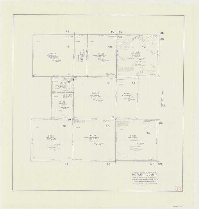

Print $20.00
- Digital $50.00
Motley County Working Sketch 8
1983
Size 32.1 x 30.6 inches
Map/Doc 71213
Cameron County Aerial Photograph Index Sheet 7
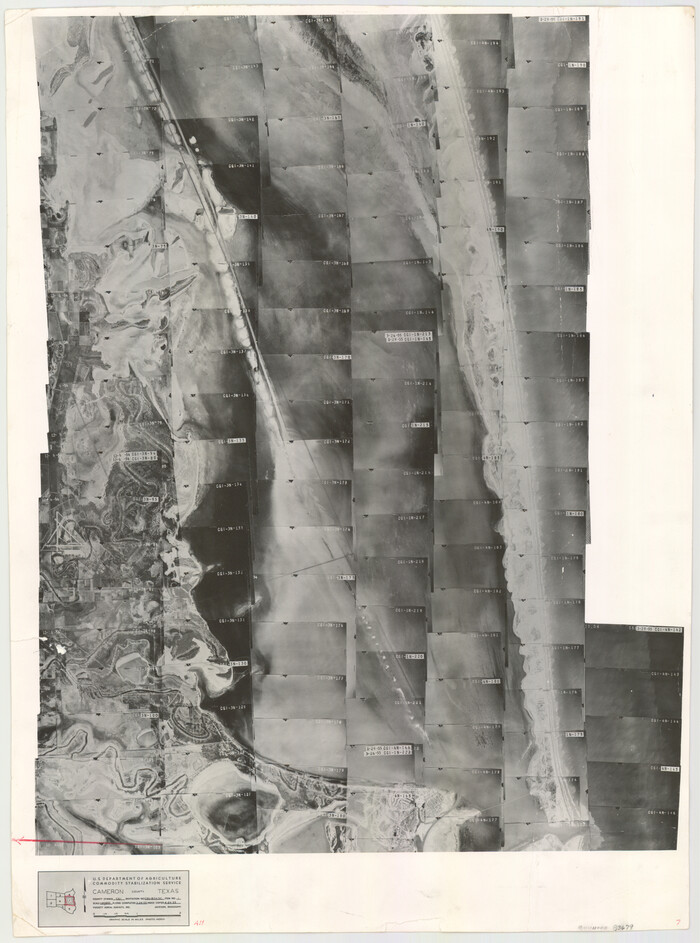

Print $20.00
- Digital $50.00
Cameron County Aerial Photograph Index Sheet 7
1955
Size 21.8 x 16.2 inches
Map/Doc 83679
Mason County Working Sketch 1


Print $3.00
- Digital $50.00
Mason County Working Sketch 1
Size 10.7 x 16.2 inches
Map/Doc 70837
Guadalupe County Working Sketch 5


Print $3.00
- Digital $50.00
Guadalupe County Working Sketch 5
1940
Size 15.2 x 10.9 inches
Map/Doc 63314
City of Austin, Texas and Suburban Areas


Print $40.00
- Digital $50.00
City of Austin, Texas and Suburban Areas
1964
Size 48.3 x 34.4 inches
Map/Doc 73563
Gregg County Rolled Sketch 13

Print $64.00
- Digital $50.00
Gregg County Rolled Sketch 13
1940
Size 10.5 x 15.5 inches
Map/Doc 45439
Bosque County Sketch File 3


Print $40.00
- Digital $50.00
Bosque County Sketch File 3
1848
Size 16.1 x 12.4 inches
Map/Doc 14742
Guadalupe County Sketch File 20
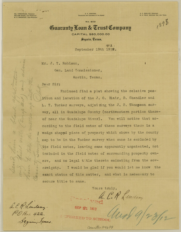

Print $6.00
- Digital $50.00
Guadalupe County Sketch File 20
1912
Size 11.1 x 8.7 inches
Map/Doc 24699
Map of Matagorda County
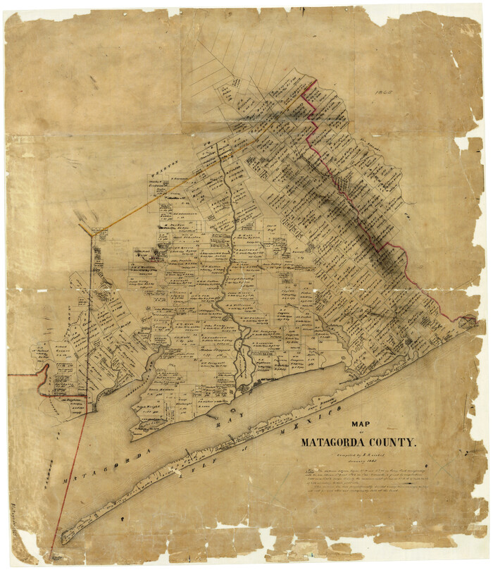

Print $20.00
- Digital $50.00
Map of Matagorda County
1865
Size 32.8 x 28.4 inches
Map/Doc 3843
Morris County
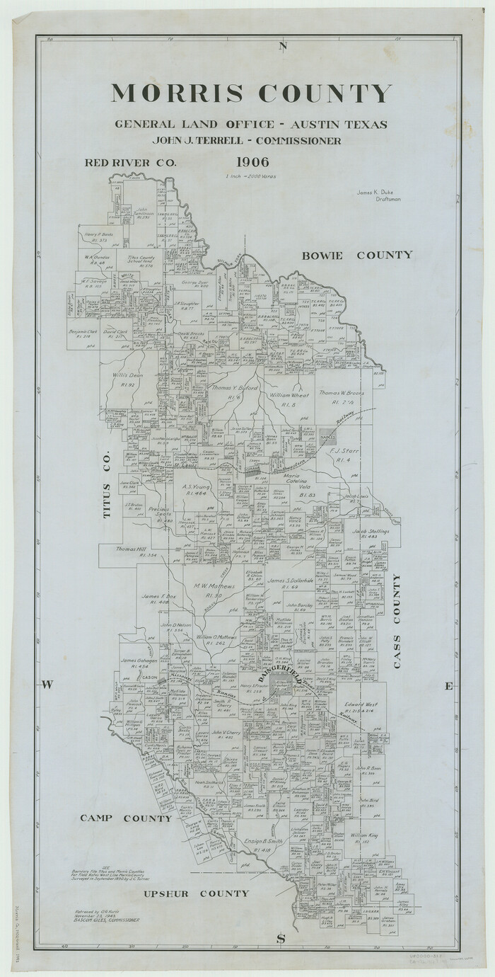

Print $20.00
- Digital $50.00
Morris County
1906
Size 44.1 x 22.4 inches
Map/Doc 66944
Map of New Braunfels, Comal County, Texas
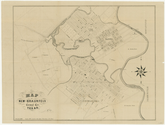

Print $20.00
Map of New Braunfels, Comal County, Texas
1868
Size 19.0 x 25.1 inches
Map/Doc 76282
![92622, [Block C-41, Sections 32, 35, 35 1/2, and vicinity], Twichell Survey Records](https://historictexasmaps.com/wmedia_w1800h1800/maps/92622-1.tif.jpg)

