[Blocks in East Floyd County and West Motley County showing Blocks D2, D3, GM, GP and T]
-
Map/Doc
92113
-
Collection
Twichell Survey Records
-
People and Organizations
W.D. Twichell (Surveyor/Engineer)
-
Counties
Floyd Motley
-
Height x Width
22.2 x 10.9 inches
56.4 x 27.7 cm
Part of: Twichell Survey Records
Signal Hill Texas


Print $20.00
- Digital $50.00
Signal Hill Texas
Size 17.5 x 17.7 inches
Map/Doc 92112
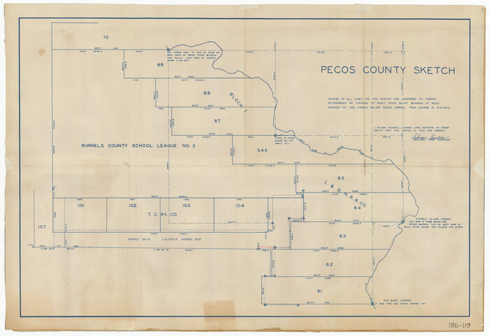
Pecos County Sketch

Print $20.00
- Digital $50.00
Pecos County Sketch
Size 34.2 x 23.5 inches
Map/Doc 91642
[Leagues 615 ,616, and 242]
![91064, [Leagues 615 ,616, and 242], Twichell Survey Records](https://historictexasmaps.com/wmedia_w700/maps/91064-1.tif.jpg)
![91064, [Leagues 615 ,616, and 242], Twichell Survey Records](https://historictexasmaps.com/wmedia_w700/maps/91064-1.tif.jpg)
Print $20.00
- Digital $50.00
[Leagues 615 ,616, and 242]
Size 12.9 x 13.5 inches
Map/Doc 91064
[Block B, Sections 1-4]
![90984, [Block B, Sections 1-4], Twichell Survey Records](https://historictexasmaps.com/wmedia_w700/maps/90984-1.tif.jpg)
![90984, [Block B, Sections 1-4], Twichell Survey Records](https://historictexasmaps.com/wmedia_w700/maps/90984-1.tif.jpg)
Print $20.00
- Digital $50.00
[Block B, Sections 1-4]
Size 21.8 x 20.5 inches
Map/Doc 90984
Brazos River Conservation and Reclamation District Official Boundary Line Survey


Print $20.00
- Digital $50.00
Brazos River Conservation and Reclamation District Official Boundary Line Survey
Size 36.6 x 24.6 inches
Map/Doc 90128
[T. & P. Block 44, Township 1S]
![90926, [T. & P. Block 44, Township 1S], Twichell Survey Records](https://historictexasmaps.com/wmedia_w700/maps/90926-1.tif.jpg)
![90926, [T. & P. Block 44, Township 1S], Twichell Survey Records](https://historictexasmaps.com/wmedia_w700/maps/90926-1.tif.jpg)
Print $20.00
- Digital $50.00
[T. & P. Block 44, Township 1S]
Size 17.6 x 22.6 inches
Map/Doc 90926
[Capitol Lands in Lamb County]
![90996, [Capitol Lands in Lamb County], Twichell Survey Records](https://historictexasmaps.com/wmedia_w700/maps/90996-1.tif.jpg)
![90996, [Capitol Lands in Lamb County], Twichell Survey Records](https://historictexasmaps.com/wmedia_w700/maps/90996-1.tif.jpg)
Print $20.00
- Digital $50.00
[Capitol Lands in Lamb County]
1903
Size 31.0 x 11.8 inches
Map/Doc 90996
[Map showing State Capitol Lands]
![93145, [Map showing State Capitol Lands], Twichell Survey Records](https://historictexasmaps.com/wmedia_w700/maps/93145-1.tif.jpg)
![93145, [Map showing State Capitol Lands], Twichell Survey Records](https://historictexasmaps.com/wmedia_w700/maps/93145-1.tif.jpg)
Print $40.00
- Digital $50.00
[Map showing State Capitol Lands]
Size 50.9 x 65.8 inches
Map/Doc 93145
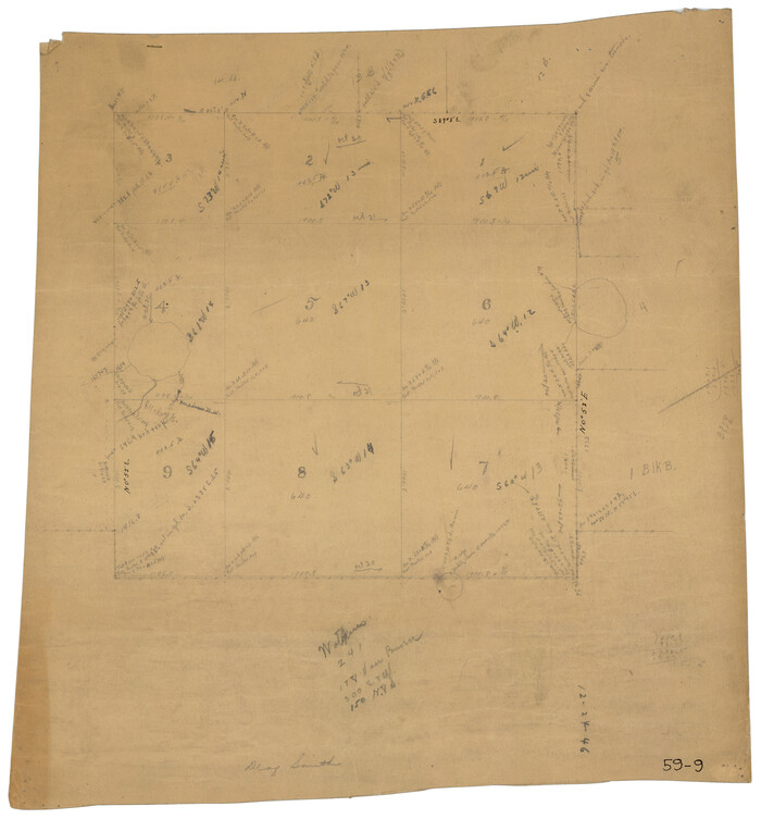
Gregg County School Land League 2

Print $20.00
- Digital $50.00
Gregg County School Land League 2
Size 16.4 x 17.7 inches
Map/Doc 90614
[Ector County Line Descriptions]
![92636, [Ector County Line Descriptions], Twichell Survey Records](https://historictexasmaps.com/wmedia_w700/maps/92636-1.tif.jpg)
![92636, [Ector County Line Descriptions], Twichell Survey Records](https://historictexasmaps.com/wmedia_w700/maps/92636-1.tif.jpg)
Print $20.00
- Digital $50.00
[Ector County Line Descriptions]
Size 37.2 x 44.2 inches
Map/Doc 92636
[Sections 61-65, I. & G. N. Block 1 and part of Block 194]
![91678, [Sections 61-65, I. & G. N. Block 1 and part of Block 194], Twichell Survey Records](https://historictexasmaps.com/wmedia_w700/maps/91678-1.tif.jpg)
![91678, [Sections 61-65, I. & G. N. Block 1 and part of Block 194], Twichell Survey Records](https://historictexasmaps.com/wmedia_w700/maps/91678-1.tif.jpg)
Print $20.00
- Digital $50.00
[Sections 61-65, I. & G. N. Block 1 and part of Block 194]
Size 24.9 x 17.3 inches
Map/Doc 91678
[Leagues 7, 8, 9, and 10]
![92220, [Leagues 7, 8, 9, and 10], Twichell Survey Records](https://historictexasmaps.com/wmedia_w700/maps/92220-1.tif.jpg)
![92220, [Leagues 7, 8, 9, and 10], Twichell Survey Records](https://historictexasmaps.com/wmedia_w700/maps/92220-1.tif.jpg)
Print $20.00
- Digital $50.00
[Leagues 7, 8, 9, and 10]
1943
Size 18.3 x 12.2 inches
Map/Doc 92220
You may also like
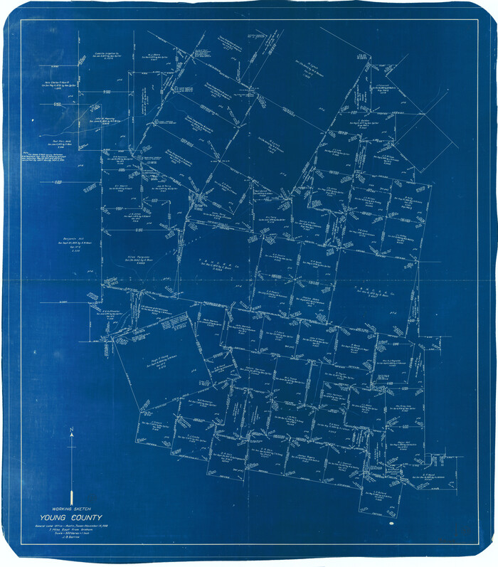
Young County Working Sketch 13

Print $20.00
- Digital $50.00
Young County Working Sketch 13
1938
Size 46.0 x 40.4 inches
Map/Doc 62036
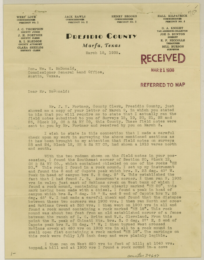
Presidio County Sketch File 62

Print $10.00
- Digital $50.00
Presidio County Sketch File 62
1938
Size 11.2 x 8.8 inches
Map/Doc 34647
Flight Mission No. CLL-1N, Frame 103, Willacy County


Print $20.00
- Digital $50.00
Flight Mission No. CLL-1N, Frame 103, Willacy County
1954
Size 18.4 x 22.1 inches
Map/Doc 87037
Flight Mission No. DCL-6C, Frame 117, Kenedy County


Print $20.00
- Digital $50.00
Flight Mission No. DCL-6C, Frame 117, Kenedy County
1943
Size 18.5 x 22.2 inches
Map/Doc 85947
Matagorda County Aerial Photograph Index Sheet 6
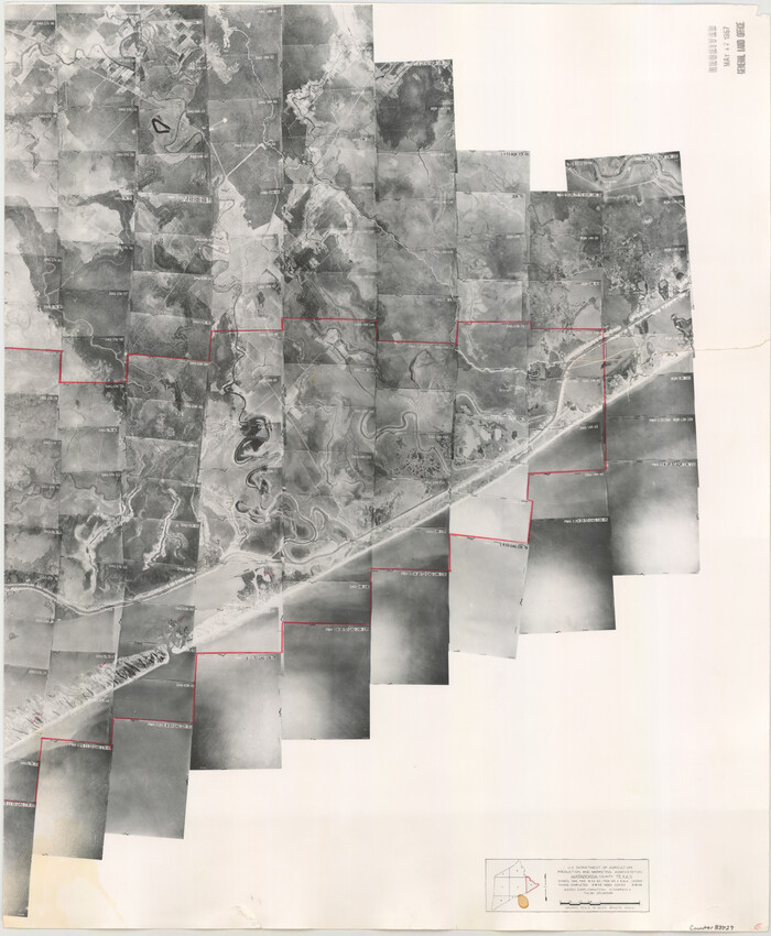

Print $20.00
- Digital $50.00
Matagorda County Aerial Photograph Index Sheet 6
1953
Size 23.8 x 19.6 inches
Map/Doc 83727
Harris County Rolled Sketch WB
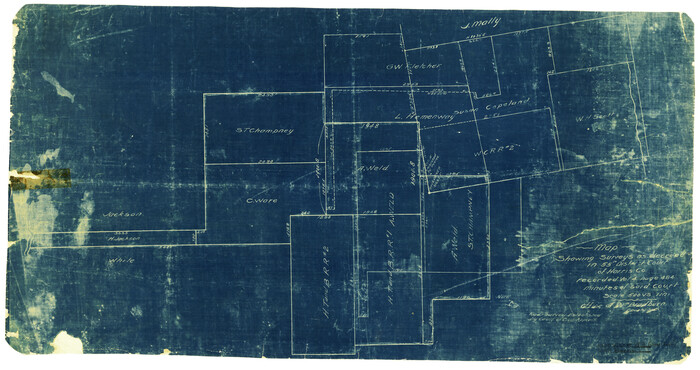

Print $20.00
- Digital $50.00
Harris County Rolled Sketch WB
Size 15.0 x 28.5 inches
Map/Doc 6146
Part of original sketch of Block "H" W. & N. W. Ry. Co. Cottle County


Print $20.00
- Digital $50.00
Part of original sketch of Block "H" W. & N. W. Ry. Co. Cottle County
Size 13.7 x 14.6 inches
Map/Doc 10776
Red River County Sketch File 26
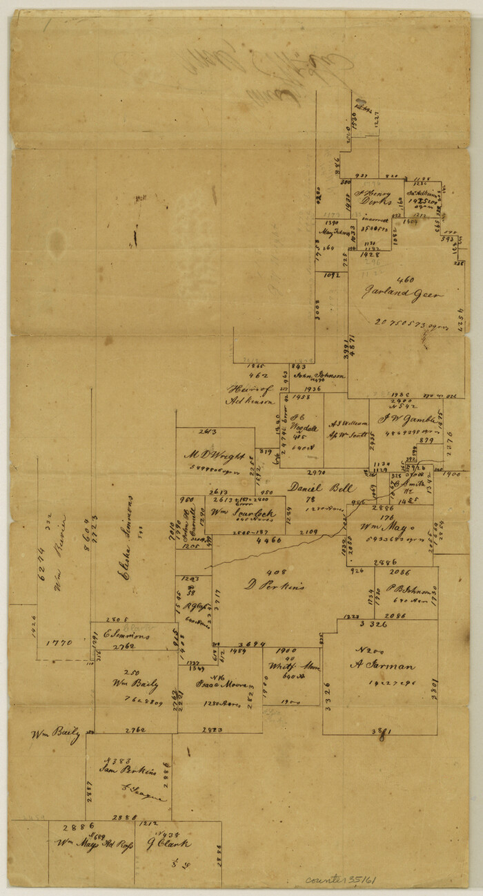

Print $4.00
- Digital $50.00
Red River County Sketch File 26
Size 14.7 x 7.9 inches
Map/Doc 35161
Morris County Rolled Sketch 2A
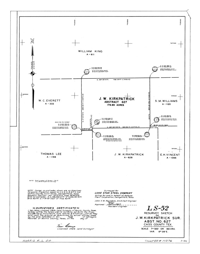

Print $20.00
- Digital $50.00
Morris County Rolled Sketch 2A
Size 24.2 x 19.0 inches
Map/Doc 10276
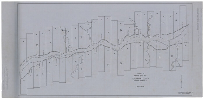
Hutchinson County Rolled Sketch 37A

Print $40.00
- Digital $50.00
Hutchinson County Rolled Sketch 37A
1950
Size 24.6 x 50.5 inches
Map/Doc 10676
Jeff Davis County Sketch File 45


Print $10.00
- Digital $50.00
Jeff Davis County Sketch File 45
1890
Size 14.0 x 8.5 inches
Map/Doc 28075
[Val Verde County]
![63096, [Val Verde County], General Map Collection](https://historictexasmaps.com/wmedia_w700/maps/63096.tif.jpg)
![63096, [Val Verde County], General Map Collection](https://historictexasmaps.com/wmedia_w700/maps/63096.tif.jpg)
Print $20.00
- Digital $50.00
[Val Verde County]
1898
Size 42.6 x 34.9 inches
Map/Doc 63096
![92113, [Blocks in East Floyd County and West Motley County showing Blocks D2, D3, GM, GP and T], Twichell Survey Records](https://historictexasmaps.com/wmedia_w1800h1800/maps/92113-1.tif.jpg)