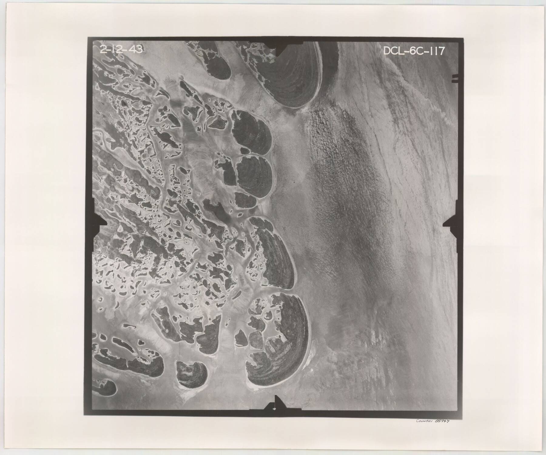
Flight Mission No. DCL-6C, Frame 117, Kenedy County
DCL-6C-117
- 
                          Map/Doc
85947
 - 
                            Collection
General Map Collection
 - 
                            Object Dates
1943/2/12 (Creation Date)
 - 
                            People and Organizations
U. S. Department of Agriculture (Publisher)
 - 
                            Counties
Kenedy
 - 
                            Subjects
Aerial Photograph
 - 
                            Height x Width
18.5 x 22.2 inches
47.0 x 56.4 cm
 - 
                            Comments
Flown by Aerial Surveys of Pittsburgh, Inc. of Pittsburgh, Pennsylvania.
 
Part of: General Map Collection
            Anderson County Sketch File 4a


                                            Print $9.00                    
                                             -                         Digital $50.00                                    
                Anderson County Sketch File 4a
1849
Size 9.5 x 12.0 inches
                                Map/Doc 12746
            
            Andrews County Rolled Sketch 44


                                            Print $40.00                    
                                             -                         Digital $50.00                                    
                Andrews County Rolled Sketch 44
1990
Size 37.0 x 64.8 inches
                                Map/Doc 94990
            
            Hunt County Boundary File 8


                                            Print $8.00                    
                                             -                         Digital $50.00                                    
                Hunt County Boundary File 8
Size 14.6 x 8.9 inches
                                Map/Doc 55237
            
            Crockett County Working Sketch 95


                                            Print $20.00                    
                                             -                         Digital $50.00                                    
                Crockett County Working Sketch 95
1979
Size 26.6 x 47.2 inches
                                Map/Doc 68428
            
            Wise County Rolled Sketch 3


                                            Print $20.00                    
                                             -                         Digital $50.00                                    
                Wise County Rolled Sketch 3
Size 36.4 x 45.0 inches
                                Map/Doc 10156
            
            Sabine Pass and Lake


                                            Print $20.00                    
                                             -                         Digital $50.00                                    
                Sabine Pass and Lake
1925
Size 43.6 x 28.0 inches
                                Map/Doc 69821
            
            Harris County


                                            Print $20.00                    
                                             -                         Digital $50.00                                    
                Harris County
1940
Size 37.7 x 46.4 inches
                                Map/Doc 95522
            
            Cottle County Sketch File 5


                                            Print $6.00                    
                                             -                         Digital $50.00                                    
                Cottle County Sketch File 5
1883
Size 17.0 x 9.6 inches
                                Map/Doc 19474
            
            Flight Mission No. DQN-2K, Frame 42, Calhoun County


                                            Print $20.00                    
                                             -                         Digital $50.00                                    
                Flight Mission No. DQN-2K, Frame 42, Calhoun County
1953
Size 18.5 x 22.2 inches
                                Map/Doc 84247
            
            [South Half - Brown County, Texas]


                                            Print $40.00                    
                                             -                         Digital $50.00                                    
                [South Half - Brown County, Texas]
1919
Size 41.7 x 68.4 inches
                                Map/Doc 97383
            
            Crane County Sketch File 14 (C-2)


                                            Print $8.00                    
                                             -                         Digital $50.00                                    
                Crane County Sketch File 14 (C-2)
1925
Size 9.3 x 7.7 inches
                                Map/Doc 19575
            
            Western United States


                                            Print $20.00                    
                                             -                         Digital $50.00                                    
                Western United States
1849
Size 18.8 x 27.8 inches
                                Map/Doc 2088
            You may also like
            Kimble County Sketch File 43


                                            Print $16.00                    
                                             -                         Digital $50.00                                    
                Kimble County Sketch File 43
2021
Size 11.0 x 8.5 inches
                                Map/Doc 96811
            
            Map of the Recognised Line M. EL. P. & P. R. R. from East Line of Bexar Land District to El Paso


                                            Print $20.00                    
                                             -                         Digital $50.00                                    
                Map of the Recognised Line M. EL. P. & P. R. R. from East Line of Bexar Land District to El Paso
1857
Size 7.5 x 41.8 inches
                                Map/Doc 2218
            
            [Sketch showing University Lands in West Texas]


                                            Print $20.00                    
                                             -                         Digital $50.00                                    
                [Sketch showing University Lands in West Texas]
Size 20.5 x 27.8 inches
                                Map/Doc 62964
            
            Flight Mission No. DIX-7P, Frame 90, Aransas County


                                            Print $20.00                    
                                             -                         Digital $50.00                                    
                Flight Mission No. DIX-7P, Frame 90, Aransas County
1956
Size 18.8 x 22.4 inches
                                Map/Doc 83884
            
            San Patricio County Sketch File 37


                                            Print $94.00                    
                                             -                         Digital $50.00                                    
                San Patricio County Sketch File 37
1915
Size 10.5 x 6.4 inches
                                Map/Doc 36142
            
            Re-Subdivision of a Part of E. Dick Slaughter Lands Cochran County, Texas


                                            Print $20.00                    
                                             -                         Digital $50.00                                    
                Re-Subdivision of a Part of E. Dick Slaughter Lands Cochran County, Texas
Size 31.0 x 21.9 inches
                                Map/Doc 92482
            
            Map of Chambers County, Texas


                                            Print $20.00                    
                                             -                         Digital $50.00                                    
                Map of Chambers County, Texas
1879
Size 26.3 x 30.7 inches
                                Map/Doc 695
            
            [Central Part of Hockley County]


                                            Print $20.00                    
                                             -                         Digital $50.00                                    
                [Central Part of Hockley County]
Size 34.6 x 21.0 inches
                                Map/Doc 91192
            
            McCulloch County


                                            Print $40.00                    
                                             -                         Digital $50.00                                    
                McCulloch County
1949
Size 48.4 x 37.5 inches
                                Map/Doc 95584
            
            Orange County Sketch File 37


                                            Print $8.00                    
                                             -                         Digital $50.00                                    
                Orange County Sketch File 37
1950
Size 14.2 x 8.8 inches
                                Map/Doc 33374
            
            [William Steele Survey near Copano Bay]


                                            Print $20.00                    
                                             -                         Digital $50.00                                    
                [William Steele Survey near Copano Bay]
1927
Size 26.1 x 18.4 inches
                                Map/Doc 2082
            
            Current Miscellaneous File 84


                                            Print $10.00                    
                                             -                         Digital $50.00                                    
                Current Miscellaneous File 84
1954
Size 11.2 x 8.8 inches
                                Map/Doc 74231