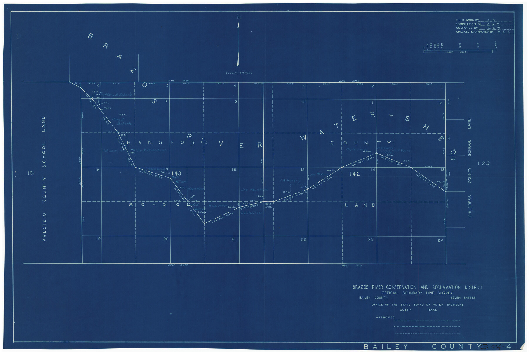
Brazos River Conservation and Reclamation District Official Boundary Line Survey
9-24
-
Map/Doc
90128
-
Collection
Twichell Survey Records
-
People and Organizations
Office of the State Board of Water Engineers (Publisher)
Sylvan Sanders (Surveyor/Engineer)
-
Counties
Bailey
-
Height x Width
36.6 x 24.6 inches
93.0 x 62.5 cm
Part of: Twichell Survey Records
[Letter from T. F. Pinckney to W. D. Twichell accompanying sketch showing Blocks 14, 341, and G5]
![93111, [Letter from T. F. Pinckney to W. D. Twichell accompanying sketch showing Blocks 14, 341, and G5], Twichell Survey Records](https://historictexasmaps.com/wmedia_w700/maps/93111-1.tif.jpg)
Print $2.00
- Digital $50.00
[Letter from T. F. Pinckney to W. D. Twichell accompanying sketch showing Blocks 14, 341, and G5]
Size 15.1 x 7.9 inches
Map/Doc 93111
[G. & M. Block 5]
![91802, [G. & M. Block 5], Twichell Survey Records](https://historictexasmaps.com/wmedia_w700/maps/91802-1.tif.jpg)
Print $20.00
- Digital $50.00
[G. & M. Block 5]
Size 20.3 x 12.5 inches
Map/Doc 91802
[Texas & Pacific Block 32, T-4-N showing ties to triangulation stations]
![90142, [Texas & Pacific Block 32, T-4-N showing ties to triangulation stations], Twichell Survey Records](https://historictexasmaps.com/wmedia_w700/maps/90142-1.tif.jpg)
Print $20.00
- Digital $50.00
[Texas & Pacific Block 32, T-4-N showing ties to triangulation stations]
Size 20.4 x 11.6 inches
Map/Doc 90142
Map of Glasscock County

Print $20.00
- Digital $50.00
Map of Glasscock County
Size 19.1 x 23.1 inches
Map/Doc 90781
[Sketch of J.D. Brown survey and vicinity]
![89965, [Sketch of J.D. Brown survey and vicinity], Twichell Survey Records](https://historictexasmaps.com/wmedia_w700/maps/89965-1.tif.jpg)
Print $40.00
- Digital $50.00
[Sketch of J.D. Brown survey and vicinity]
Size 43.5 x 63.0 inches
Map/Doc 89965
[Worksheets related to the Wilson Strickland survey and vicinity]
![91267, [Vicinity and related to the Wilson Strickland Survey], Twichell Survey Records](https://historictexasmaps.com/wmedia_w700/maps/91267-1.tif.jpg)
Print $20.00
- Digital $50.00
[Worksheets related to the Wilson Strickland survey and vicinity]
Size 21.7 x 19.4 inches
Map/Doc 91267
[Blocks 47, Z, XO2, M18, M23, M25, and H]
![91236, [Blocks 47, Z, XO2, M18, M23, M25, and H], Twichell Survey Records](https://historictexasmaps.com/wmedia_w700/maps/91236-1.tif.jpg)
Print $20.00
- Digital $50.00
[Blocks 47, Z, XO2, M18, M23, M25, and H]
Size 29.6 x 23.6 inches
Map/Doc 91236
[Portion of sketch showing alleged vacancy]
![91953, [Portion of sketch showing alleged vacancy], Twichell Survey Records](https://historictexasmaps.com/wmedia_w700/maps/91953-1.tif.jpg)
Print $20.00
- Digital $50.00
[Portion of sketch showing alleged vacancy]
Size 18.9 x 24.4 inches
Map/Doc 91953
Plat Section 2, Block B-16

Print $20.00
- Digital $50.00
Plat Section 2, Block B-16
1930
Size 19.0 x 9.8 inches
Map/Doc 90802
Map Showing the Jo Dick Slaughter Lands in Dawson, Martin, Borden, and Howard Counties, Texas

Print $20.00
- Digital $50.00
Map Showing the Jo Dick Slaughter Lands in Dawson, Martin, Borden, and Howard Counties, Texas
Size 26.6 x 20.8 inches
Map/Doc 92506
[Block G, Jonathan Burleson Survey, and vicinity]
![91042, [Block G, Jonathan Burleson Survey, and vicinity], Twichell Survey Records](https://historictexasmaps.com/wmedia_w700/maps/91042-1.tif.jpg)
Print $20.00
- Digital $50.00
[Block G, Jonathan Burleson Survey, and vicinity]
Size 26.4 x 14.6 inches
Map/Doc 91042
[Original Muleshoe and vicinity]
![92504, [Original Muleshoe and vicinity], Twichell Survey Records](https://historictexasmaps.com/wmedia_w700/maps/92504-1.tif.jpg)
Print $20.00
- Digital $50.00
[Original Muleshoe and vicinity]
Size 36.0 x 23.6 inches
Map/Doc 92504
You may also like
Western Cotton Oil Co. Property Lamb County, Texas

Print $20.00
- Digital $50.00
Western Cotton Oil Co. Property Lamb County, Texas
1951
Size 20.9 x 16.9 inches
Map/Doc 92166
Atascosa County Sketch File 15a

Print $5.00
- Digital $50.00
Atascosa County Sketch File 15a
1879
Size 17.4 x 8.2 inches
Map/Doc 13777
La Salle County Boundary File 1

Print $24.00
- Digital $50.00
La Salle County Boundary File 1
Size 8.7 x 14.2 inches
Map/Doc 56239
[Town Plat of Galveston]
![76258, [Town Plat of Galveston], Texas State Library and Archives](https://historictexasmaps.com/wmedia_w700/maps/76258.tif.jpg)
Print $20.00
[Town Plat of Galveston]
1877
Size 9.1 x 14.5 inches
Map/Doc 76258
Working Sketch in Matagorda County

Print $20.00
- Digital $50.00
Working Sketch in Matagorda County
1890
Size 36.6 x 22.7 inches
Map/Doc 4479
Flight Mission No. BQR-3K, Frame 155, Brazoria County

Print $20.00
- Digital $50.00
Flight Mission No. BQR-3K, Frame 155, Brazoria County
1952
Size 18.7 x 22.4 inches
Map/Doc 83982
Flight Mission No. CRC-2R, Frame 188, Chambers County

Print $20.00
- Digital $50.00
Flight Mission No. CRC-2R, Frame 188, Chambers County
1956
Size 18.5 x 22.3 inches
Map/Doc 84766
Harrison County Working Sketch 24

Print $20.00
- Digital $50.00
Harrison County Working Sketch 24
1983
Size 38.0 x 41.3 inches
Map/Doc 66044
Map of the Fort Worth and Denver City Railway, through Wilbarger County Texas, 1882

Print $40.00
- Digital $50.00
Map of the Fort Worth and Denver City Railway, through Wilbarger County Texas, 1882
Size 22.6 x 79.4 inches
Map/Doc 64427
Terrell County Boundary File 1

Print $12.00
- Digital $50.00
Terrell County Boundary File 1
Size 8.9 x 6.2 inches
Map/Doc 59196
[Surveys in San Jacinto and Polk Counties]
![69749, [Surveys in San Jacinto and Polk Counties], General Map Collection](https://historictexasmaps.com/wmedia_w700/maps/69749.tif.jpg)
Print $2.00
- Digital $50.00
[Surveys in San Jacinto and Polk Counties]
Size 9.8 x 3.8 inches
Map/Doc 69749
Harris County Working Sketch 9

Print $20.00
- Digital $50.00
Harris County Working Sketch 9
1908
Size 27.7 x 39.4 inches
Map/Doc 65901