[Leagues 615 ,616, and 242]
140-60
-
Map/Doc
91064
-
Collection
Twichell Survey Records
-
Counties
Lamb
-
Height x Width
12.9 x 13.5 inches
32.8 x 34.3 cm
Part of: Twichell Survey Records
[Blocks B5, 46, and 47]
![91189, [Blocks B5, 46, and 47], Twichell Survey Records](https://historictexasmaps.com/wmedia_w700/maps/91189-1.tif.jpg)
![91189, [Blocks B5, 46, and 47], Twichell Survey Records](https://historictexasmaps.com/wmedia_w700/maps/91189-1.tif.jpg)
Print $20.00
- Digital $50.00
[Blocks B5, 46, and 47]
1886
Size 23.1 x 16.8 inches
Map/Doc 91189
Map showing lands surveyed by Sylvan Sanders in the Southwestern Part of Jack County, Texas for Buttram Petroleum Corporation
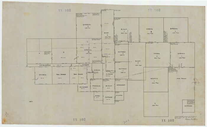

Print $20.00
- Digital $50.00
Map showing lands surveyed by Sylvan Sanders in the Southwestern Part of Jack County, Texas for Buttram Petroleum Corporation
Size 21.2 x 12.9 inches
Map/Doc 92186
[G. H. & H. RR. Co. Block 5 and surrounding surveys]
![90877, [G. H. & H. RR. Co. Block 5 and surrounding surveys], Twichell Survey Records](https://historictexasmaps.com/wmedia_w700/maps/90877-2.tif.jpg)
![90877, [G. H. & H. RR. Co. Block 5 and surrounding surveys], Twichell Survey Records](https://historictexasmaps.com/wmedia_w700/maps/90877-2.tif.jpg)
Print $20.00
- Digital $50.00
[G. H. & H. RR. Co. Block 5 and surrounding surveys]
1901
Size 28.0 x 15.2 inches
Map/Doc 90877
South Part Brewster Co.
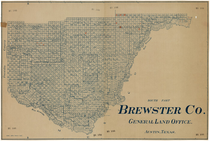

Print $40.00
- Digital $50.00
South Part Brewster Co.
Size 48.7 x 32.8 inches
Map/Doc 92468
Crockett County, Texas


Print $20.00
- Digital $50.00
Crockett County, Texas
Size 28.8 x 21.4 inches
Map/Doc 90473
Castro County, Texas


Print $20.00
- Digital $50.00
Castro County, Texas
Size 20.3 x 22.8 inches
Map/Doc 92613
Section L Tech Memorial Park, Inc.
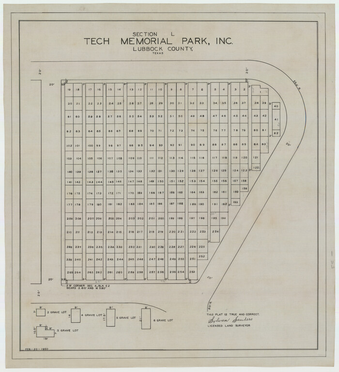

Print $20.00
- Digital $50.00
Section L Tech Memorial Park, Inc.
1950
Size 17.7 x 19.5 inches
Map/Doc 92350
Subdivision of Sutton County School League 175. Bailey County, Texas


Print $2.00
- Digital $50.00
Subdivision of Sutton County School League 175. Bailey County, Texas
1929
Size 9.1 x 11.5 inches
Map/Doc 90278
[Worksheets related to the Wilson Strickland survey and vicinity]
![89714, [Vicinity and related to the Wilson Strickland Survey], Twichell Survey Records](https://historictexasmaps.com/wmedia_w700/maps/89714-1.tif.jpg)
![89714, [Vicinity and related to the Wilson Strickland Survey], Twichell Survey Records](https://historictexasmaps.com/wmedia_w700/maps/89714-1.tif.jpg)
Print $20.00
- Digital $50.00
[Worksheets related to the Wilson Strickland survey and vicinity]
Size 40.9 x 43.1 inches
Map/Doc 89714
[Sketch of Potter County Road, North of River]
![93059, [Sketch of Potter County Road, North of River], Twichell Survey Records](https://historictexasmaps.com/wmedia_w700/maps/93059-1.tif.jpg)
![93059, [Sketch of Potter County Road, North of River], Twichell Survey Records](https://historictexasmaps.com/wmedia_w700/maps/93059-1.tif.jpg)
Print $20.00
- Digital $50.00
[Sketch of Potter County Road, North of River]
Size 12.5 x 29.5 inches
Map/Doc 93059
Working Sketch in Crosby Co.
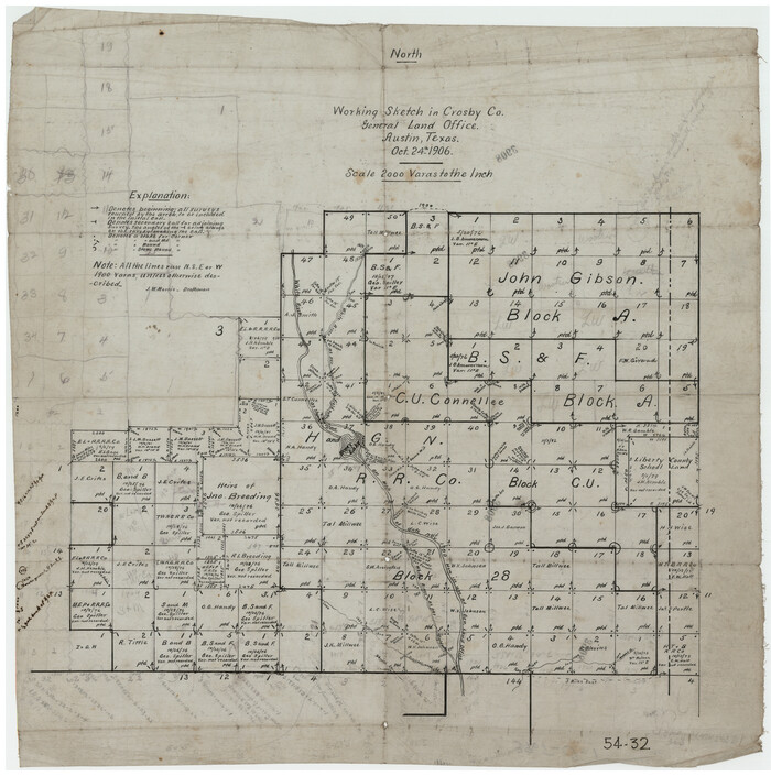

Print $20.00
- Digital $50.00
Working Sketch in Crosby Co.
1906
Size 17.5 x 17.9 inches
Map/Doc 90350
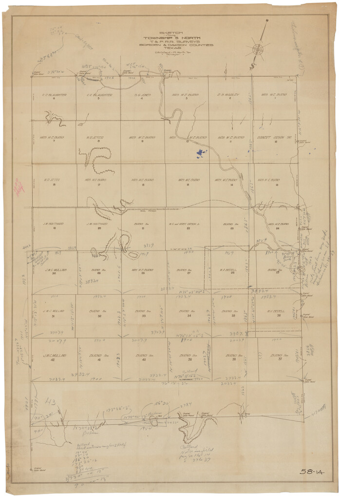
Sketch Showing Township 5 North, T. & P. RR. Surveys, Borden and Dawson Counties, Texas

Print $20.00
- Digital $50.00
Sketch Showing Township 5 North, T. & P. RR. Surveys, Borden and Dawson Counties, Texas
Size 24.7 x 36.0 inches
Map/Doc 90636
You may also like
McLennan County Working Sketch 7


Print $20.00
- Digital $50.00
McLennan County Working Sketch 7
1959
Size 22.6 x 23.9 inches
Map/Doc 70700
Harris County Historic Topographic 14


Print $20.00
- Digital $50.00
Harris County Historic Topographic 14
1916
Size 29.1 x 22.6 inches
Map/Doc 65824
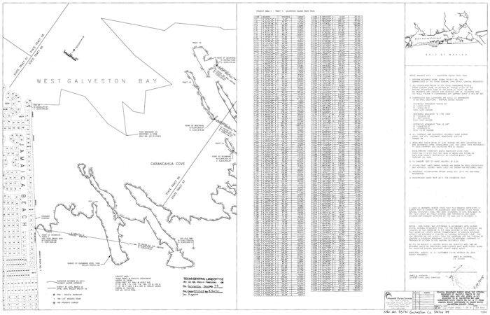
Galveston County NRC Article 33.136 Sketch 79

Print $292.00
- Digital $50.00
Galveston County NRC Article 33.136 Sketch 79
2015
Size 22.0 x 34.0 inches
Map/Doc 94880
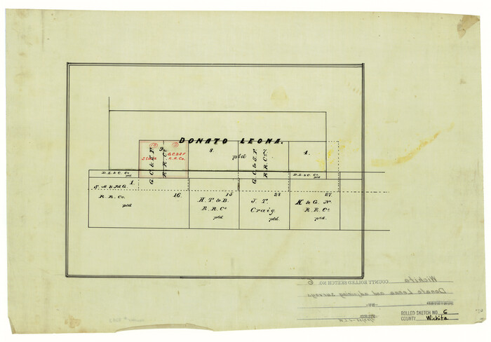
Wichita County Rolled Sketch 6

Print $20.00
- Digital $50.00
Wichita County Rolled Sketch 6
Size 12.9 x 18.5 inches
Map/Doc 8243
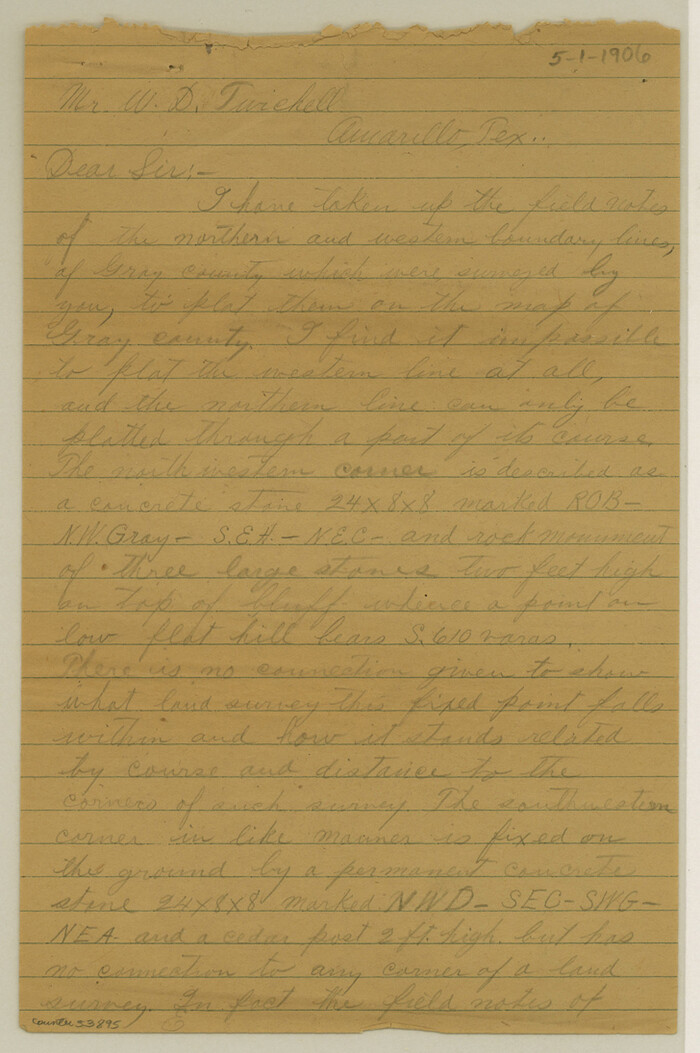
Gray County Boundary File 6

Print $6.00
- Digital $50.00
Gray County Boundary File 6
Size 10.9 x 7.3 inches
Map/Doc 53895
Working Sketch in Kaufman County
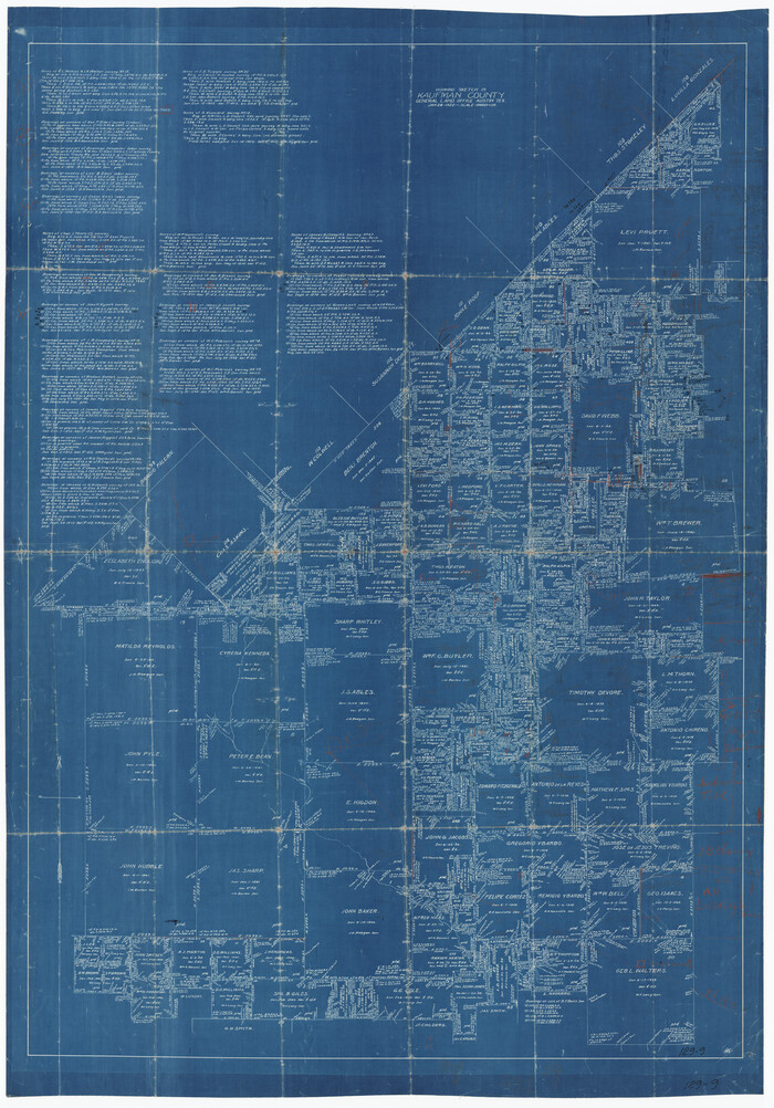

Print $40.00
- Digital $50.00
Working Sketch in Kaufman County
1922
Size 36.5 x 52.2 inches
Map/Doc 89702
The Scarborough Company's New Railroad, Post Office & County Map of Texas, Oklahoma and Indian Territory Compiled from the Latest Government Surveys and Original Sources
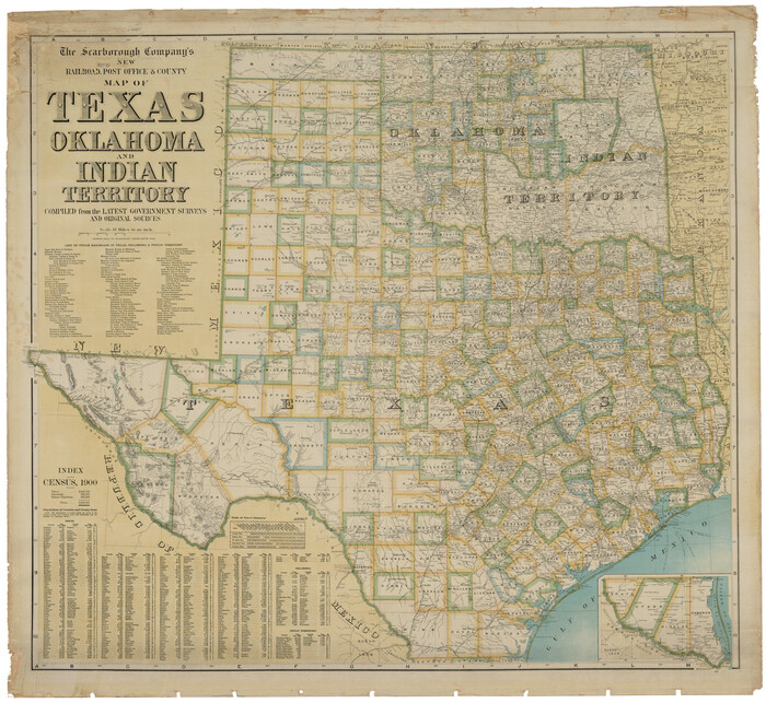

Print $20.00
- Digital $50.00
The Scarborough Company's New Railroad, Post Office & County Map of Texas, Oklahoma and Indian Territory Compiled from the Latest Government Surveys and Original Sources
1904
Size 42.8 x 46.6 inches
Map/Doc 93911
Zavalla County
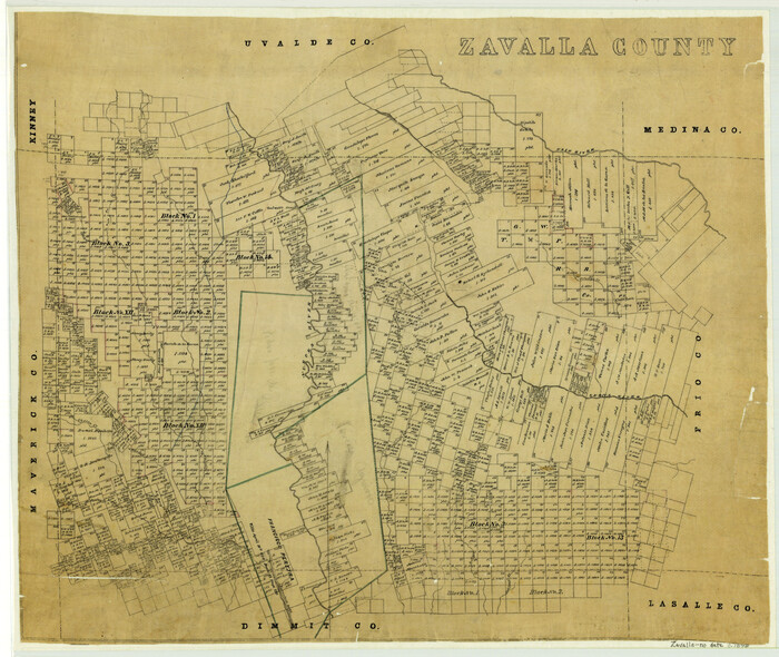

Print $20.00
- Digital $50.00
Zavalla County
1878
Size 22.7 x 26.9 inches
Map/Doc 4179
Fayette County Working Sketch Graphic Index
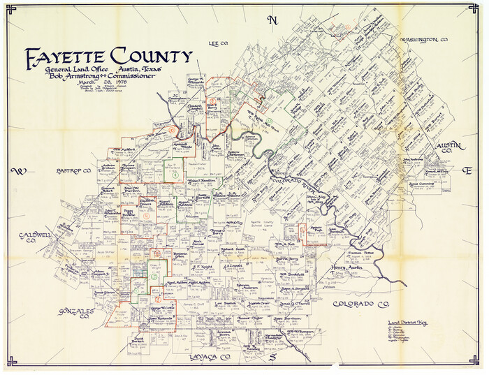

Print $40.00
- Digital $50.00
Fayette County Working Sketch Graphic Index
1978
Size 42.9 x 54.7 inches
Map/Doc 76541
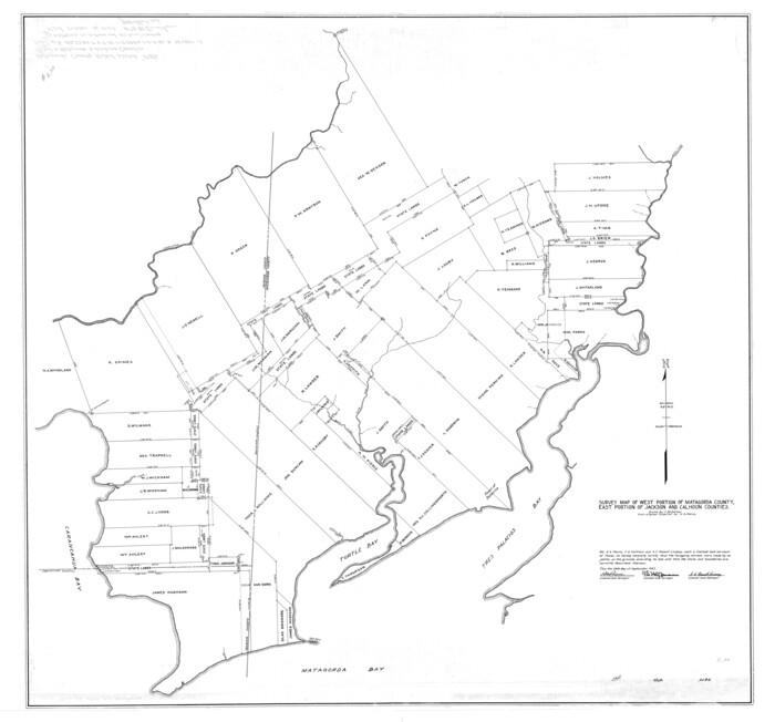
Matagorda County Rolled Sketch PHL

Print $20.00
- Digital $50.00
Matagorda County Rolled Sketch PHL
1937
Size 37.3 x 40.0 inches
Map/Doc 9476
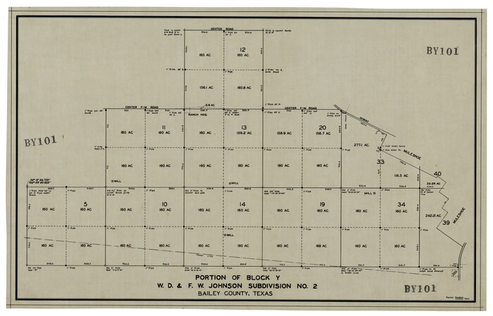
Portion of Block Y, W. D. and F. W. Johnson Subdivision Number 2

Print $20.00
- Digital $50.00
Portion of Block Y, W. D. and F. W. Johnson Subdivision Number 2
Size 23.9 x 15.3 inches
Map/Doc 92500
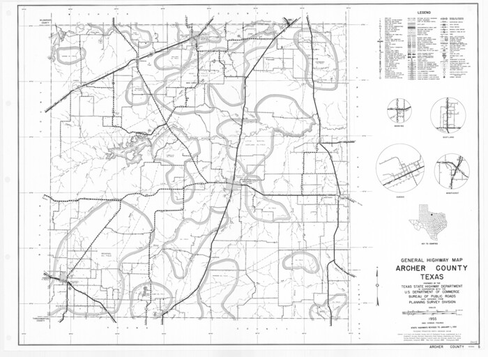
General Highway Map, Archer County, Texas

Print $20.00
General Highway Map, Archer County, Texas
1961
Size 18.3 x 25.0 inches
Map/Doc 79353
![91064, [Leagues 615 ,616, and 242], Twichell Survey Records](https://historictexasmaps.com/wmedia_w1800h1800/maps/91064-1.tif.jpg)