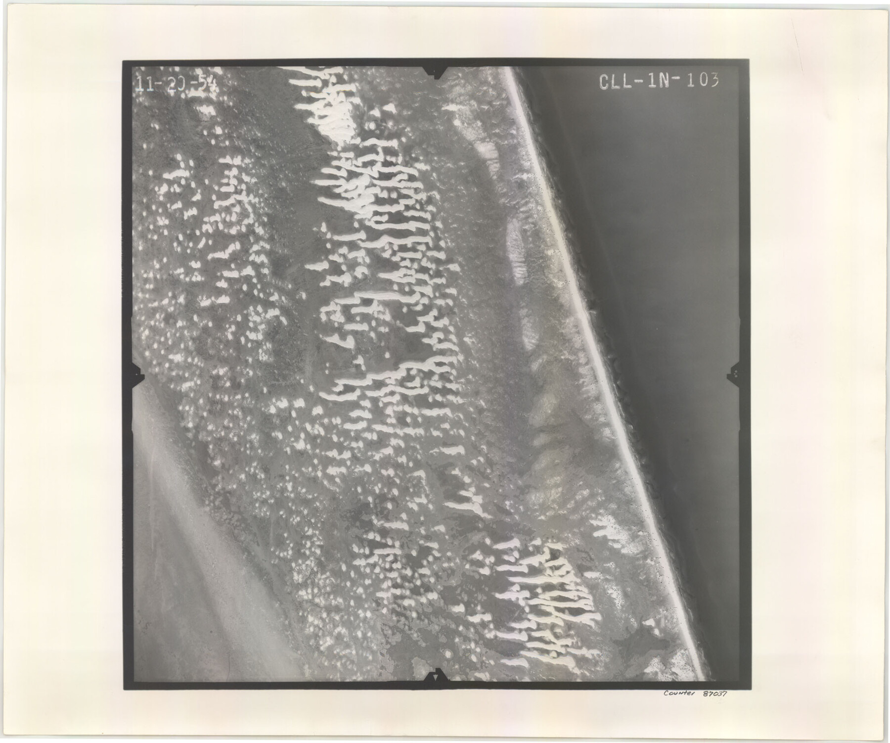
Flight Mission No. CLL-1N, Frame 103, Willacy County
CLL-1N-103
-
Map/Doc
87037
-
Collection
General Map Collection
-
Object Dates
1954/11/20 (Creation Date)
-
People and Organizations
U. S. Department of Agriculture (Publisher)
-
Counties
Willacy
-
Subjects
Aerial Photograph
-
Height x Width
18.4 x 22.1 inches
46.7 x 56.1 cm
-
Comments
Flown by Puckett Aerial Surveys, Inc. of Jackson, Mississippi.
Part of: General Map Collection
El Paso County Sketch File 22

Print $22.00
- Digital $50.00
El Paso County Sketch File 22
1888
Size 14.2 x 9.0 inches
Map/Doc 22031
Treaty to Resolve Pending Boundary Differences and Maintain the Rio Grande and Colorado River as the International Boundary Between the United States of American and Mexico

Print $4.00
- Digital $50.00
Treaty to Resolve Pending Boundary Differences and Maintain the Rio Grande and Colorado River as the International Boundary Between the United States of American and Mexico
1970
Size 12.2 x 19.0 inches
Map/Doc 83100
Northern Part of Laguna Madre

Print $20.00
- Digital $50.00
Northern Part of Laguna Madre
1965
Size 44.5 x 35.0 inches
Map/Doc 73526
Maps of Gulf Intracoastal Waterway, Texas - Sabine River to the Rio Grande and connecting waterways including ship channels

Print $20.00
- Digital $50.00
Maps of Gulf Intracoastal Waterway, Texas - Sabine River to the Rio Grande and connecting waterways including ship channels
1966
Size 14.5 x 22.2 inches
Map/Doc 61915
Brewster County Rolled Sketch 104

Print $40.00
- Digital $50.00
Brewster County Rolled Sketch 104
1938
Size 68.3 x 45.3 inches
Map/Doc 8511
Dallas County Rolled Sketch 3

Print $40.00
- Digital $50.00
Dallas County Rolled Sketch 3
1953
Size 30.7 x 78.5 inches
Map/Doc 8767
Flight Mission No. DAG-24K, Frame 160, Matagorda County

Print $20.00
- Digital $50.00
Flight Mission No. DAG-24K, Frame 160, Matagorda County
1953
Size 18.6 x 22.5 inches
Map/Doc 86574
Jefferson County Sketch File 9

Print $40.00
- Digital $50.00
Jefferson County Sketch File 9
1860
Size 12.6 x 15.2 inches
Map/Doc 28123
Cameron County Sketch File 16

Print $18.00
- Digital $50.00
Cameron County Sketch File 16
1998
Size 11.2 x 8.6 inches
Map/Doc 76334
Haskell County Boundary File 1

Print $36.00
- Digital $50.00
Haskell County Boundary File 1
Size 8.7 x 9.0 inches
Map/Doc 54518
[Gulf, Colorado & Santa Fe]
![64591, [Gulf, Colorado & Santa Fe], General Map Collection](https://historictexasmaps.com/wmedia_w700/maps/64591.tif.jpg)
Print $40.00
- Digital $50.00
[Gulf, Colorado & Santa Fe]
1918
Size 63.1 x 31.2 inches
Map/Doc 64591
Young County Working Sketch 15

Print $20.00
- Digital $50.00
Young County Working Sketch 15
1952
Size 13.7 x 18.0 inches
Map/Doc 62038
You may also like
Live Oak County Working Sketch 12

Print $20.00
- Digital $50.00
Live Oak County Working Sketch 12
1949
Size 23.1 x 19.7 inches
Map/Doc 70597
The Chief Justice County of Bexar. Lands in Conflict with San Patricio County

Print $20.00
The Chief Justice County of Bexar. Lands in Conflict with San Patricio County
2020
Size 14.7 x 21.6 inches
Map/Doc 96040
[Blk. 1 and League 3, Morris County School Land]
![90364, [Blk. 1 and League 3, Morris County School Land], Twichell Survey Records](https://historictexasmaps.com/wmedia_w700/maps/90364-1.tif.jpg)
Print $3.00
- Digital $50.00
[Blk. 1 and League 3, Morris County School Land]
Size 12.4 x 11.4 inches
Map/Doc 90364
Harrison County Rolled Sketch 6

Print $20.00
- Digital $50.00
Harrison County Rolled Sketch 6
1952
Size 23.4 x 24.2 inches
Map/Doc 6152
Shelby County Working Sketch 29b

Print $20.00
- Digital $50.00
Shelby County Working Sketch 29b
2000
Size 25.2 x 37.8 inches
Map/Doc 63884
Bee County Sketch File 11

Print $40.00
- Digital $50.00
Bee County Sketch File 11
Size 20.8 x 25.0 inches
Map/Doc 10915
Flight Mission No. DCL-7C, Frame 12, Kenedy County

Print $20.00
- Digital $50.00
Flight Mission No. DCL-7C, Frame 12, Kenedy County
1943
Size 15.4 x 15.3 inches
Map/Doc 86004
Young County Working Sketch Graphic Index

Print $20.00
- Digital $50.00
Young County Working Sketch Graphic Index
1941
Size 44.1 x 38.4 inches
Map/Doc 76748
Current Miscellaneous File 81

Print $14.00
- Digital $50.00
Current Miscellaneous File 81
1942
Size 14.2 x 8.9 inches
Map/Doc 74217
Jackson County Rolled Sketch 13

Print $92.00
- Digital $50.00
Jackson County Rolled Sketch 13
1975
Size 10.7 x 15.3 inches
Map/Doc 46135
Archer County Working Sketch 22

Print $20.00
- Digital $50.00
Archer County Working Sketch 22
1980
Size 36.4 x 38.0 inches
Map/Doc 67163
Blanco County Rolled Sketch 8

Print $20.00
- Digital $50.00
Blanco County Rolled Sketch 8
Size 19.1 x 27.7 inches
Map/Doc 5145