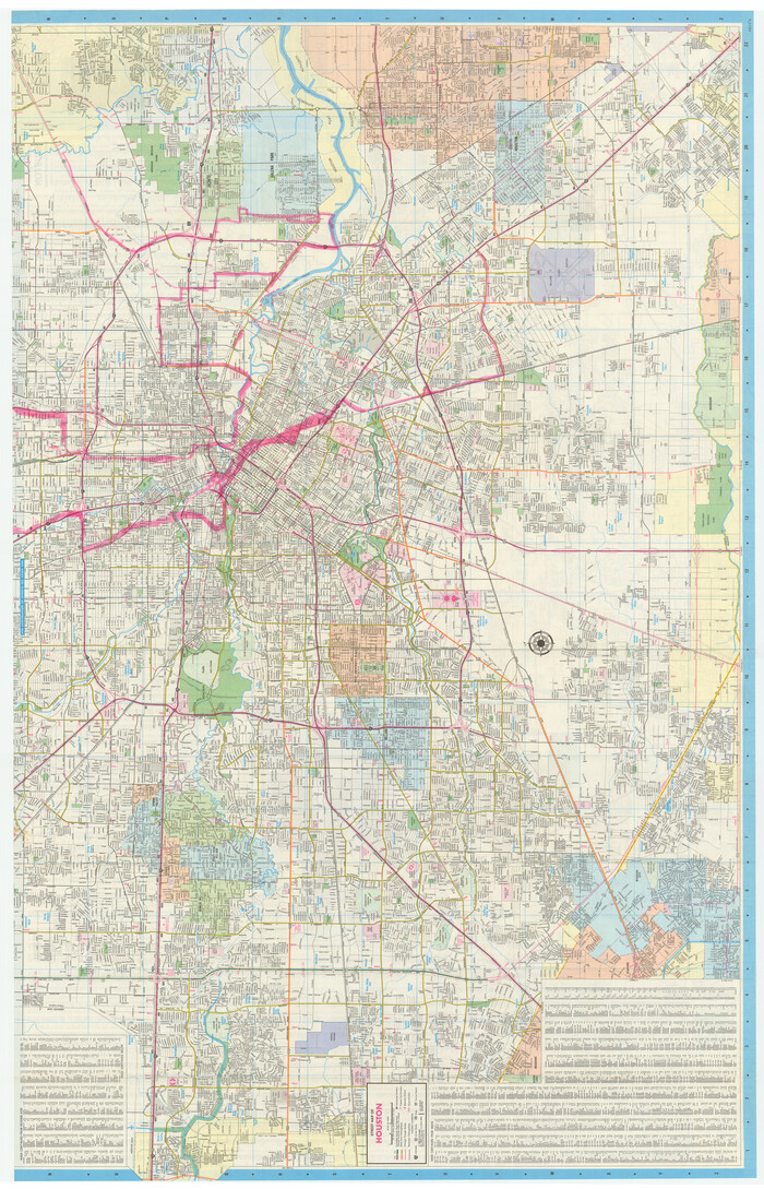
[Bell County]
-
Map/Doc
3295
-
Collection
General Map Collection
-
Object Dates
[1867 ca.] (Creation Date)
-
Counties
Bell
-
Subjects
County
-
Height x Width
21.7 x 26.7 inches
55.1 x 67.8 cm
-
Comments
Approximate date was determined by order of surveys appearing on 1855 and 1877 maps and by similarity with lettering of title on 1867 Burleson County map.
-
Features
Leon River
Stampede Creek
Horse Creek
Owl Creek
Cowhouse Creek
Deer Creek
Pond Creek
Branch of Horse Creek
Lampasas River
Belton
Little River
Cedar Creek
Salado River
Part of: General Map Collection
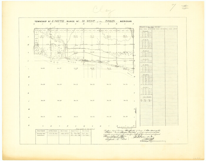
Township No. 5 South Range No. 10 West of the Indian Meridian

Print $20.00
- Digital $50.00
Township No. 5 South Range No. 10 West of the Indian Meridian
1874
Size 19.2 x 24.5 inches
Map/Doc 75161
Cooke County Boundary File 19


Print $30.00
- Digital $50.00
Cooke County Boundary File 19
Size 8.7 x 4.0 inches
Map/Doc 51858
Amistad International Reservoir on Rio Grande 81


Print $20.00
- Digital $50.00
Amistad International Reservoir on Rio Grande 81
1949
Size 28.6 x 40.2 inches
Map/Doc 75510
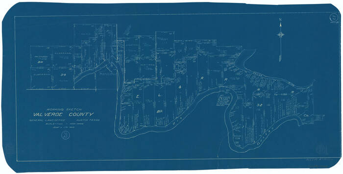
Val Verde County Working Sketch 21

Print $20.00
- Digital $50.00
Val Verde County Working Sketch 21
1929
Size 15.2 x 30.0 inches
Map/Doc 72156
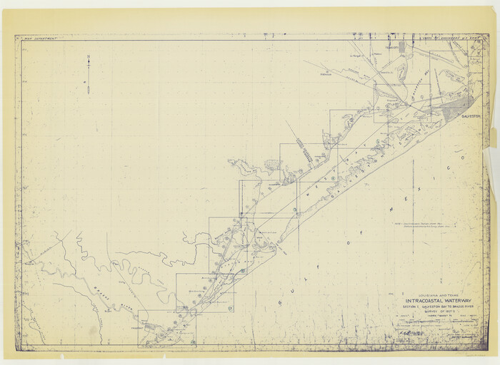
Louisiana and Texas Intracoastal Waterway, Section 7, Galveston Bay to Brazos River and Section 8, Brazos River to Matagorda Bay

Print $20.00
- Digital $50.00
Louisiana and Texas Intracoastal Waterway, Section 7, Galveston Bay to Brazos River and Section 8, Brazos River to Matagorda Bay
1928
Size 31.3 x 42.7 inches
Map/Doc 73063
Jefferson County Working Sketch 4
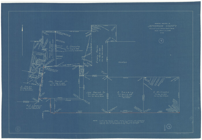

Print $20.00
- Digital $50.00
Jefferson County Working Sketch 4
1930
Size 19.4 x 28.0 inches
Map/Doc 66547
[F. W. & D. C. Ry. Co. Alignment and Right of Way Map, Clay County]
![64743, [F. W. & D. C. Ry. Co. Alignment and Right of Way Map, Clay County], General Map Collection](https://historictexasmaps.com/wmedia_w700/maps/64743-GC.tif.jpg)
![64743, [F. W. & D. C. Ry. Co. Alignment and Right of Way Map, Clay County], General Map Collection](https://historictexasmaps.com/wmedia_w700/maps/64743-GC.tif.jpg)
Print $20.00
- Digital $50.00
[F. W. & D. C. Ry. Co. Alignment and Right of Way Map, Clay County]
1927
Size 18.6 x 11.8 inches
Map/Doc 64743
Montgomery County Working Sketch 71
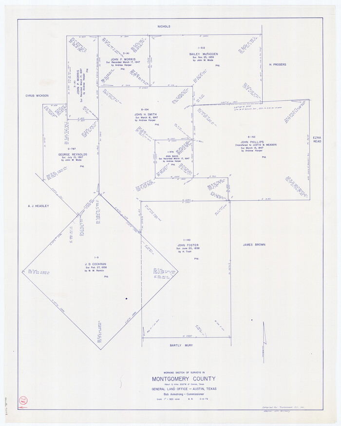

Print $20.00
- Digital $50.00
Montgomery County Working Sketch 71
1979
Size 37.2 x 29.8 inches
Map/Doc 71178
Collingsworth County Sketch File 3
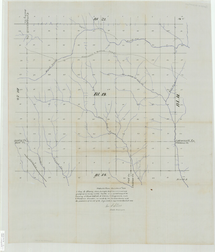

Print $20.00
- Digital $50.00
Collingsworth County Sketch File 3
1888
Size 32.5 x 27.7 inches
Map/Doc 11130
Cameron County Rolled Sketch 32


Print $40.00
- Digital $50.00
Cameron County Rolled Sketch 32
1981
Size 136.6 x 18.1 inches
Map/Doc 8579
Travis County Working Sketch 12
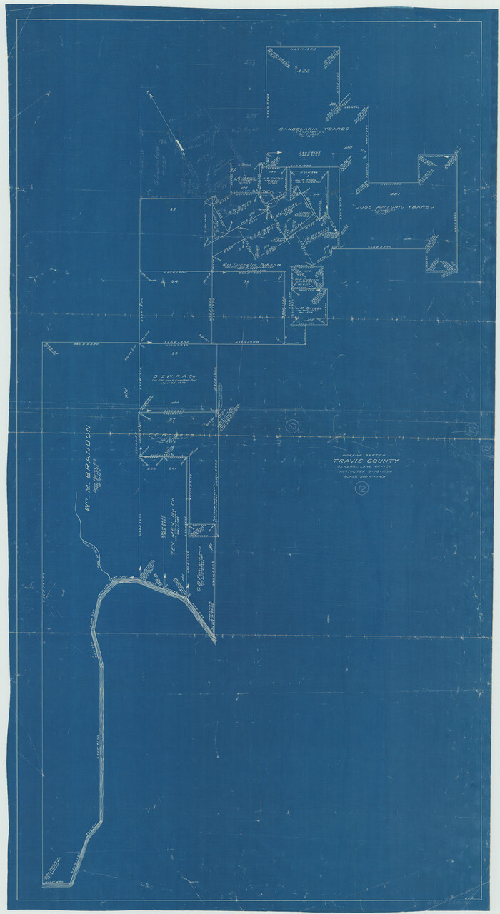

Print $20.00
- Digital $50.00
Travis County Working Sketch 12
1920
Size 47.8 x 26.1 inches
Map/Doc 69396
Flight Mission No. BQR-22K, Frame 42, Brazoria County


Print $20.00
- Digital $50.00
Flight Mission No. BQR-22K, Frame 42, Brazoria County
1953
Size 18.9 x 22.7 inches
Map/Doc 84126
You may also like
Uvalde County Working Sketch 16
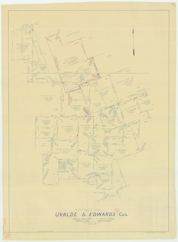

Print $20.00
- Digital $50.00
Uvalde County Working Sketch 16
1946
Size 37.0 x 27.2 inches
Map/Doc 72086
Brown County Working Sketch 2


Print $20.00
- Digital $50.00
Brown County Working Sketch 2
1919
Size 17.0 x 17.5 inches
Map/Doc 67767
Nacogdoches County Working Sketch 4
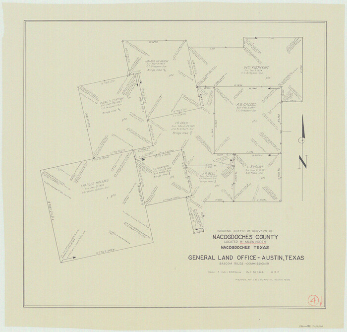

Print $20.00
- Digital $50.00
Nacogdoches County Working Sketch 4
1946
Size 22.2 x 23.2 inches
Map/Doc 71220
Duval County Boundary File 3g
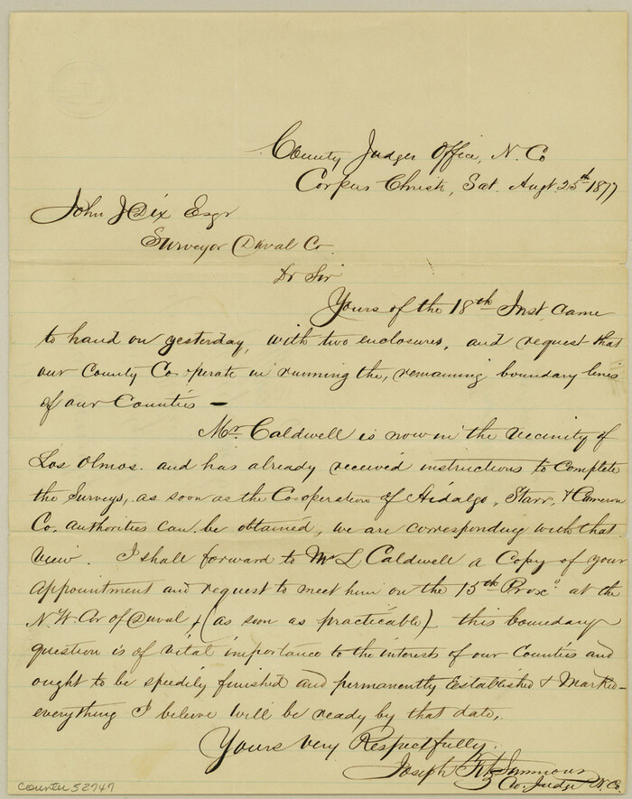

Print $4.00
- Digital $50.00
Duval County Boundary File 3g
Size 9.9 x 7.8 inches
Map/Doc 52747
Current Miscellaneous File 48


Print $32.00
- Digital $50.00
Current Miscellaneous File 48
Size 11.2 x 8.7 inches
Map/Doc 73996
Map of Jasper County
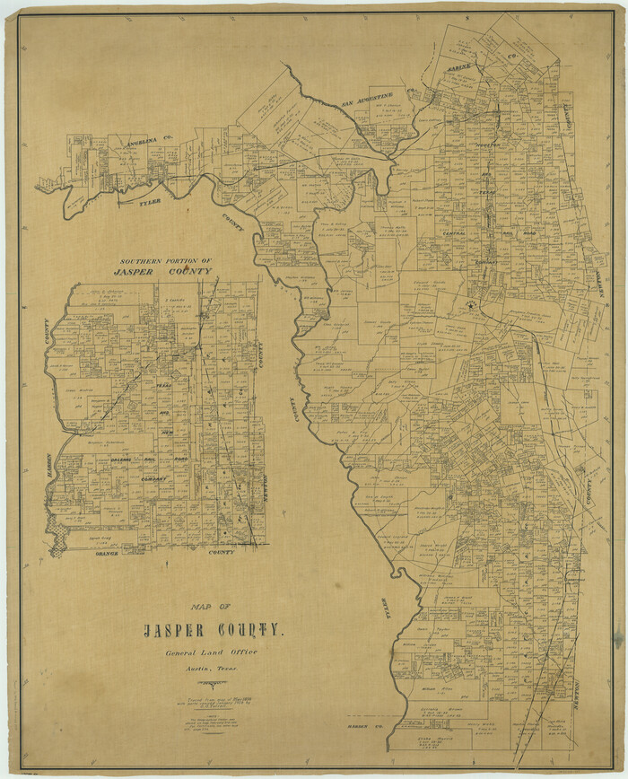

Print $40.00
- Digital $50.00
Map of Jasper County
1898
Size 48.6 x 39.2 inches
Map/Doc 4990
Ochiltree County Boundary File 1c
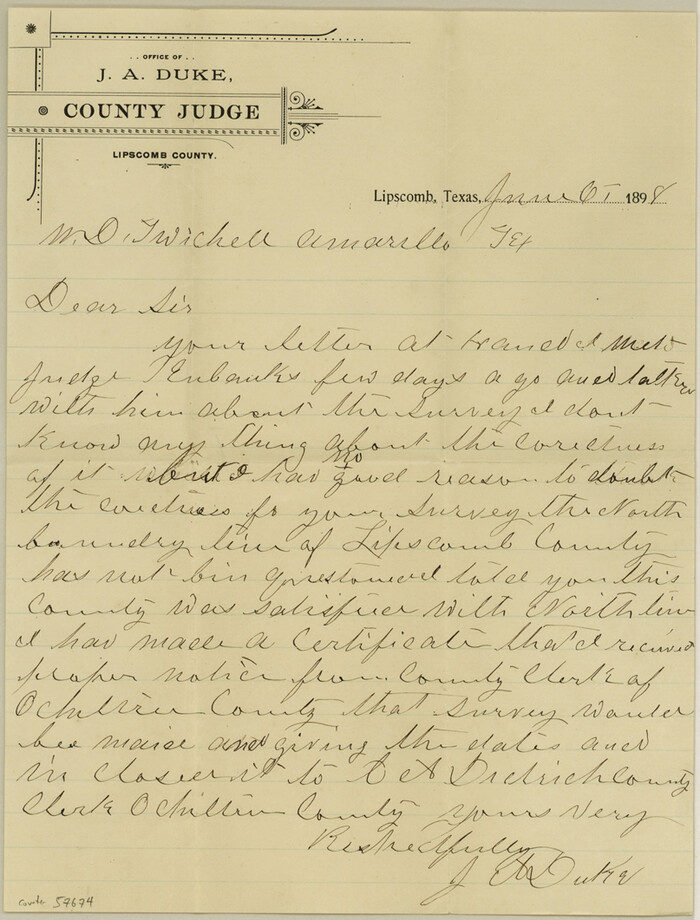

Print $2.00
- Digital $50.00
Ochiltree County Boundary File 1c
Size 10.6 x 8.1 inches
Map/Doc 57674
Sherman County
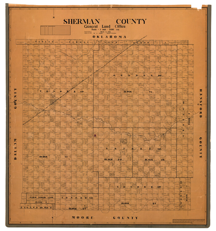

Print $20.00
- Digital $50.00
Sherman County
1932
Size 39.8 x 37.3 inches
Map/Doc 95640
Polk County Sketch File 45


Print $4.00
- Digital $50.00
Polk County Sketch File 45
Size 11.3 x 8.8 inches
Map/Doc 34376
Map of the City of Corsicana (Navarro County) Texas
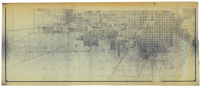

Print $40.00
- Digital $50.00
Map of the City of Corsicana (Navarro County) Texas
1963
Size 40.1 x 91.8 inches
Map/Doc 93674
Brewster County Sketch File S-26a
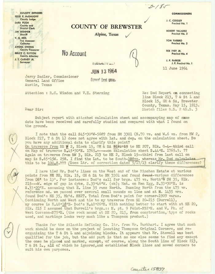

Print $18.00
- Digital $50.00
Brewster County Sketch File S-26a
1964
Size 11.1 x 8.7 inches
Map/Doc 15837
![3295, [Bell County], General Map Collection](https://historictexasmaps.com/wmedia_w1800h1800/maps/3295-1.tif.jpg)
