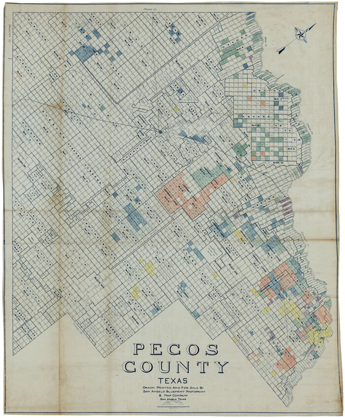
[Blocks 2, M3, M20, G. & M. Block 22 and others in the vicinity]
188-34
-
Map/Doc
91803
-
Collection
Twichell Survey Records
-
Counties
Potter
-
Height x Width
19.0 x 23.2 inches
48.3 x 58.9 cm
Part of: Twichell Survey Records
[Sketch showing parts of Blocks 3, 5, 22, M-20, S, T and Block BB, surveys 1, 2 and 3]
![91730, [Sketch showing parts of Blocks 3, 5, 22, M-20, S, T and Block BB, surveys 1, 2 and 3], Twichell Survey Records](https://historictexasmaps.com/wmedia_w700/maps/91730-1.tif.jpg)
![91730, [Sketch showing parts of Blocks 3, 5, 22, M-20, S, T and Block BB, surveys 1, 2 and 3], Twichell Survey Records](https://historictexasmaps.com/wmedia_w700/maps/91730-1.tif.jpg)
Print $20.00
- Digital $50.00
[Sketch showing parts of Blocks 3, 5, 22, M-20, S, T and Block BB, surveys 1, 2 and 3]
Size 15.5 x 15.9 inches
Map/Doc 91730
[Capitol Leagues 217-228, 238, and vicinity]
![90674, [Capitol Leagues 217-228, 238, and vicinity], Twichell Survey Records](https://historictexasmaps.com/wmedia_w700/maps/90674-1.tif.jpg)
![90674, [Capitol Leagues 217-228, 238, and vicinity], Twichell Survey Records](https://historictexasmaps.com/wmedia_w700/maps/90674-1.tif.jpg)
Print $20.00
- Digital $50.00
[Capitol Leagues 217-228, 238, and vicinity]
Size 22.8 x 10.0 inches
Map/Doc 90674
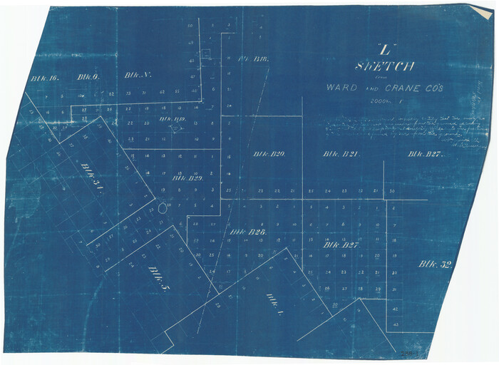
"L" Sketch from Ward and Crane Cos.

Print $20.00
- Digital $50.00
"L" Sketch from Ward and Crane Cos.
Size 28.7 x 20.8 inches
Map/Doc 91961
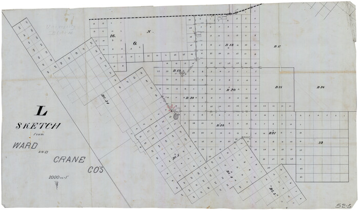
L Sketch from Ward and Crane Co's

Print $20.00
- Digital $50.00
L Sketch from Ward and Crane Co's
Size 39.6 x 23.2 inches
Map/Doc 90462
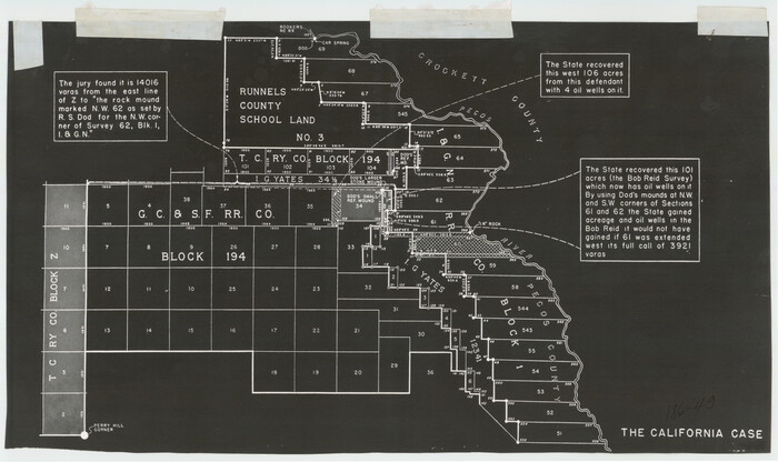
The California Case

Print $3.00
- Digital $50.00
The California Case
Size 15.8 x 9.5 inches
Map/Doc 91695
[Sections 5 through 34]
![92480, [Sections 5 through 34], Twichell Survey Records](https://historictexasmaps.com/wmedia_w700/maps/92480-1.tif.jpg)
![92480, [Sections 5 through 34], Twichell Survey Records](https://historictexasmaps.com/wmedia_w700/maps/92480-1.tif.jpg)
Print $20.00
- Digital $50.00
[Sections 5 through 34]
Size 23.9 x 19.4 inches
Map/Doc 92480
Brazos River Conservation and Reclamation District Official Boundary Line Survey


Print $20.00
- Digital $50.00
Brazos River Conservation and Reclamation District Official Boundary Line Survey
Size 25.0 x 37.0 inches
Map/Doc 90182
Working Sketch Bastrop County
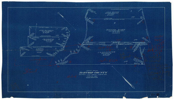

Print $20.00
- Digital $50.00
Working Sketch Bastrop County
1923
Size 22.7 x 13.2 inches
Map/Doc 90149
[Sketch of PSL Blocks A20, A35, A44, A45]
![89739, [Sketch of PSL Blocks A20, A35, A44, A45], Twichell Survey Records](https://historictexasmaps.com/wmedia_w700/maps/89739-1.tif.jpg)
![89739, [Sketch of PSL Blocks A20, A35, A44, A45], Twichell Survey Records](https://historictexasmaps.com/wmedia_w700/maps/89739-1.tif.jpg)
Print $40.00
- Digital $50.00
[Sketch of PSL Blocks A20, A35, A44, A45]
Size 22.7 x 66.9 inches
Map/Doc 89739
[Catfish Creek Survey]
![92647, [Catfish Creek Survey], Twichell Survey Records](https://historictexasmaps.com/wmedia_w700/maps/92647-1.tif.jpg)
![92647, [Catfish Creek Survey], Twichell Survey Records](https://historictexasmaps.com/wmedia_w700/maps/92647-1.tif.jpg)
Print $20.00
- Digital $50.00
[Catfish Creek Survey]
1916
Size 21.9 x 26.0 inches
Map/Doc 92647
[Gregg County League No. 2 Subdivided and vicinity]
![91567, [Gregg County League No. 2 Subdivided and vicinity], Twichell Survey Records](https://historictexasmaps.com/wmedia_w700/maps/91567-1.tif.jpg)
![91567, [Gregg County League No. 2 Subdivided and vicinity], Twichell Survey Records](https://historictexasmaps.com/wmedia_w700/maps/91567-1.tif.jpg)
Print $20.00
- Digital $50.00
[Gregg County League No. 2 Subdivided and vicinity]
Size 17.7 x 16.3 inches
Map/Doc 91567
You may also like
[Sketch of part of G. & M. Block 5, G. & M. Block 4, Block M19 and Block 21W]
![93081, [Sketch of part of G. & M. Block 5, G. & M. Block 4, Block M19 and Block 21W], Twichell Survey Records](https://historictexasmaps.com/wmedia_w700/maps/93081-1.tif.jpg)
![93081, [Sketch of part of G. & M. Block 5, G. & M. Block 4, Block M19 and Block 21W], Twichell Survey Records](https://historictexasmaps.com/wmedia_w700/maps/93081-1.tif.jpg)
Print $20.00
- Digital $50.00
[Sketch of part of G. & M. Block 5, G. & M. Block 4, Block M19 and Block 21W]
Size 21.7 x 16.6 inches
Map/Doc 93081
Taylor County Working Sketch 6


Print $20.00
- Digital $50.00
Taylor County Working Sketch 6
1951
Size 35.4 x 31.9 inches
Map/Doc 69616
Rusk County Sketch File 11


Print $4.00
Rusk County Sketch File 11
1849
Size 8.5 x 9.1 inches
Map/Doc 35509
Edwards County Sketch File 22
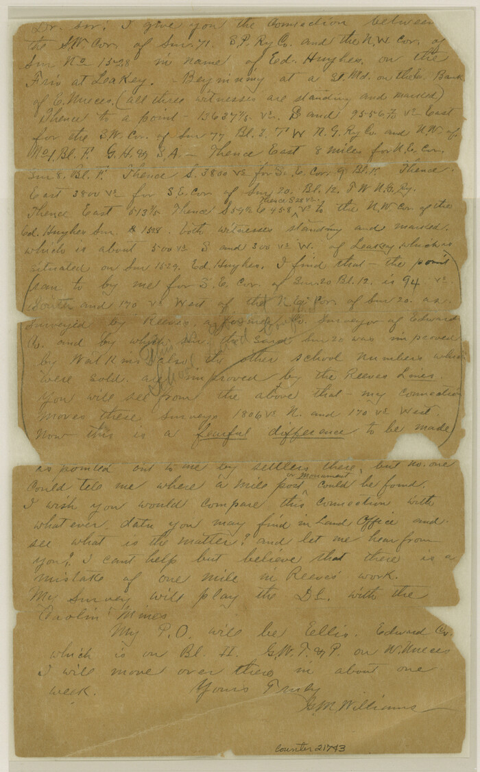

Print $8.00
- Digital $50.00
Edwards County Sketch File 22
1890
Size 14.4 x 8.9 inches
Map/Doc 21743
Comanche County Working Sketch 2


Print $20.00
- Digital $50.00
Comanche County Working Sketch 2
1918
Size 15.0 x 21.5 inches
Map/Doc 68136
General Highway Map, Gray County, Texas
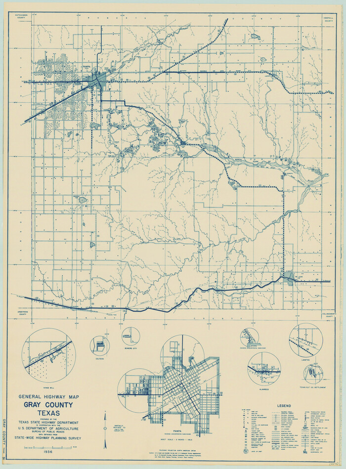

Print $20.00
General Highway Map, Gray County, Texas
1940
Size 25.0 x 18.4 inches
Map/Doc 79103
Kenedy County Working Sketch Graphic Index
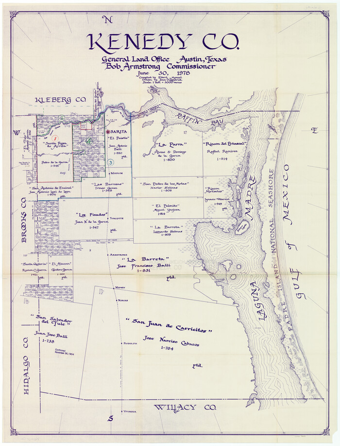

Print $20.00
- Digital $50.00
Kenedy County Working Sketch Graphic Index
1978
Size 46.6 x 35.8 inches
Map/Doc 76603
Pecos County Sketch File 47


Print $8.00
- Digital $50.00
Pecos County Sketch File 47
1935
Size 11.4 x 8.5 inches
Map/Doc 33759
Navigation Maps of Gulf Intracoastal Waterway, Port Arthur to Brownsville, Texas
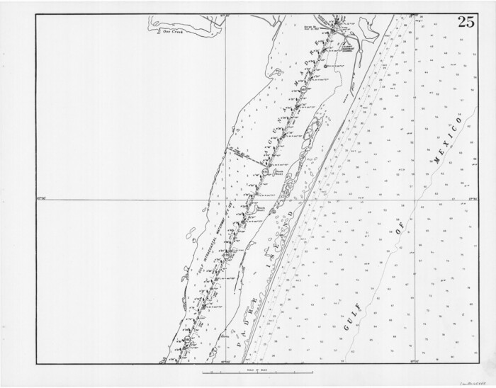

Print $4.00
- Digital $50.00
Navigation Maps of Gulf Intracoastal Waterway, Port Arthur to Brownsville, Texas
1951
Size 16.6 x 21.2 inches
Map/Doc 65445
Cochran County Rolled Sketch 2


Print $20.00
- Digital $50.00
Cochran County Rolled Sketch 2
1940
Size 27.7 x 33.9 inches
Map/Doc 5500
The Yellow Rose Compass


Price $20.00
The Yellow Rose Compass
2025
Size 3.5 x 2.8 inches
Map/Doc 97508
Floyd County Sketch File 33
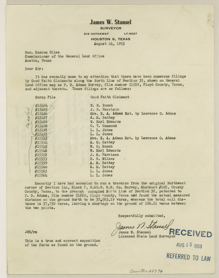

Print $4.00
- Digital $50.00
Floyd County Sketch File 33
1953
Size 11.4 x 9.0 inches
Map/Doc 22796
![91803, [Blocks 2, M3, M20, G. & M. Block 22 and others in the vicinity], Twichell Survey Records](https://historictexasmaps.com/wmedia_w1800h1800/maps/91803-1.tif.jpg)
