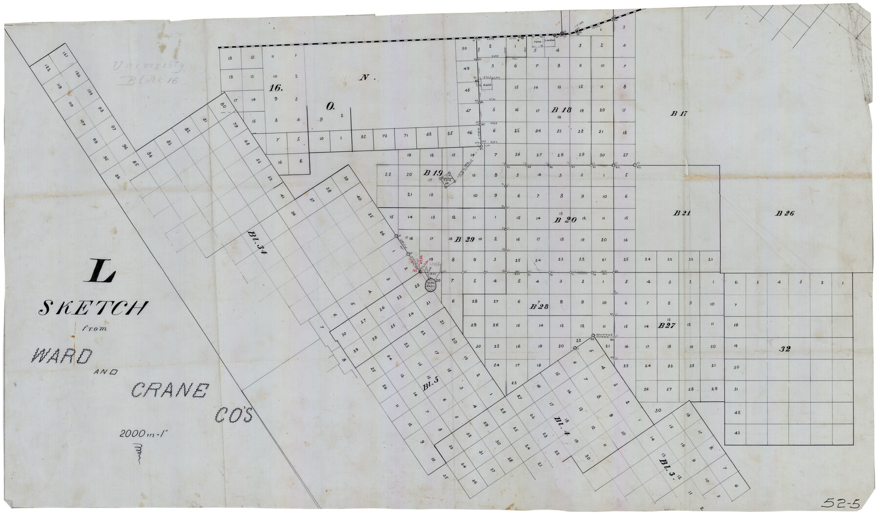
L Sketch from Ward and Crane Co's
52-5
-
Map/Doc
90462
-
Collection
Twichell Survey Records
-
Counties
Crane Ward
-
Height x Width
39.6 x 23.2 inches
100.6 x 58.9 cm
Part of: Twichell Survey Records
[Map showing connecting line from New Mexico to Double Lakes]
![91998, [Map showing connecting line from New Mexico to Double Lakes], Twichell Survey Records](https://historictexasmaps.com/wmedia_w700/maps/91998-1.tif.jpg)
Print $20.00
- Digital $50.00
[Map showing connecting line from New Mexico to Double Lakes]
1913
Size 39.6 x 24.2 inches
Map/Doc 91998
McLaughlin Farm, Crosby County, Texas

Print $20.00
- Digital $50.00
McLaughlin Farm, Crosby County, Texas
1952
Size 14.3 x 14.1 inches
Map/Doc 92615
Northeastern United States Including the Great Lakes Region

Northeastern United States Including the Great Lakes Region
1959
Size 25.6 x 19.3 inches
Map/Doc 92395
[Leagues 139 and 130]
![90440, [Leagues 139 and 130], Twichell Survey Records](https://historictexasmaps.com/wmedia_w700/maps/90440-1.tif.jpg)
Print $2.00
- Digital $50.00
[Leagues 139 and 130]
Size 7.9 x 12.5 inches
Map/Doc 90440
Plat of Green Valley Ranch

Print $20.00
- Digital $50.00
Plat of Green Valley Ranch
Size 14.4 x 23.2 inches
Map/Doc 92909
Shackelford County

Print $20.00
- Digital $50.00
Shackelford County
1920
Size 39.2 x 46.1 inches
Map/Doc 93031
[Littlefield Subdivision Blocks 657-687]
![91009, [Littlefield Subdivision Blocks 657-687], Twichell Survey Records](https://historictexasmaps.com/wmedia_w700/maps/91009-1.tif.jpg)
Print $20.00
- Digital $50.00
[Littlefield Subdivision Blocks 657-687]
Size 31.2 x 20.5 inches
Map/Doc 91009
Map No. 1 - Surveys Located in 1881 as they appear on the ground

Print $20.00
- Digital $50.00
Map No. 1 - Surveys Located in 1881 as they appear on the ground
Size 29.6 x 18.8 inches
Map/Doc 91889
Yellowhouse Land Company's Subdivision of State Capitol Leagues Hockley County, Texas

Print $20.00
- Digital $50.00
Yellowhouse Land Company's Subdivision of State Capitol Leagues Hockley County, Texas
Size 30.7 x 24.9 inches
Map/Doc 92260
Battlefields of the Civil War

Battlefields of the Civil War
1961
Size 25.8 x 19.7 inches
Map/Doc 92373
[Northeast part of County]
![89957, [Northeast part of County], Twichell Survey Records](https://historictexasmaps.com/wmedia_w700/maps/89957-1.tif.jpg)
Print $20.00
- Digital $50.00
[Northeast part of County]
Size 37.1 x 42.9 inches
Map/Doc 89957
Working Sketch Fisher County School Land [Leagues 105-108]
![90294, Working Sketch Fisher County School Land [Leagues 105-108], Twichell Survey Records](https://historictexasmaps.com/wmedia_w700/maps/90294-1.tif.jpg)
Print $20.00
- Digital $50.00
Working Sketch Fisher County School Land [Leagues 105-108]
Size 12.9 x 16.7 inches
Map/Doc 90294
You may also like
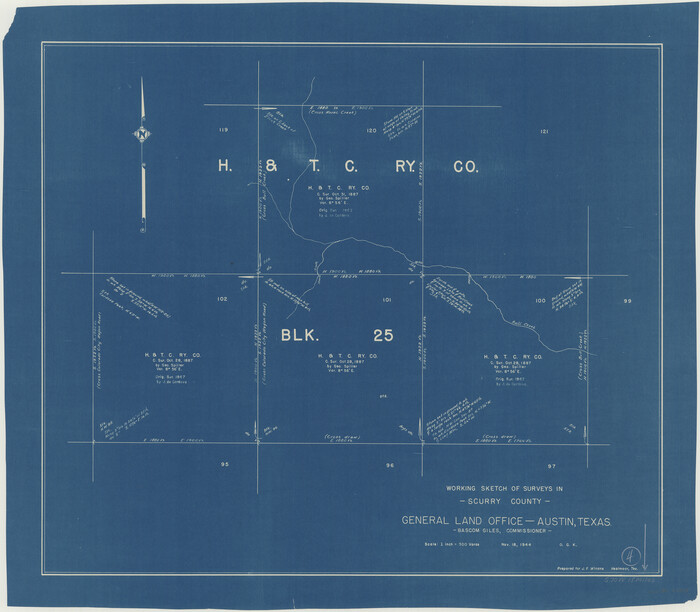
Scurry County Working Sketch 5

Print $40.00
- Digital $50.00
Scurry County Working Sketch 5
1950
Size 72.5 x 27.8 inches
Map/Doc 63834
Lynn County Boundary File 9a

Print $80.00
- Digital $50.00
Lynn County Boundary File 9a
Size 9.3 x 6.4 inches
Map/Doc 56669
Cooke County Working Sketch 2

Print $20.00
- Digital $50.00
Cooke County Working Sketch 2
1925
Size 22.2 x 10.9 inches
Map/Doc 68239
Map of Galveston County

Print $20.00
- Digital $50.00
Map of Galveston County
1864
Size 19.6 x 28.0 inches
Map/Doc 3576
Travis County Appraisal District Plat Map 2_0805

Print $20.00
- Digital $50.00
Travis County Appraisal District Plat Map 2_0805
Size 21.4 x 26.4 inches
Map/Doc 94231
Scurry County Working Sketch 4
Print $20.00
- Digital $50.00
Scurry County Working Sketch 4
1944
Size 23.1 x 26.5 inches
Map/Doc 63833
Concho County Working Sketch 11

Print $20.00
- Digital $50.00
Concho County Working Sketch 11
1951
Size 22.0 x 23.2 inches
Map/Doc 68193
Throckmorton County Rolled Sketch 6B

Print $20.00
- Digital $50.00
Throckmorton County Rolled Sketch 6B
2004
Size 20.3 x 24.2 inches
Map/Doc 82490
The Chief Justice County of Milam. Lands in Conflict with Bexar County

Print $20.00
The Chief Justice County of Milam. Lands in Conflict with Bexar County
2020
Size 16.8 x 21.7 inches
Map/Doc 96060
Armstrong County Working Sketch 8

Print $20.00
- Digital $50.00
Armstrong County Working Sketch 8
1902
Size 25.4 x 40.2 inches
Map/Doc 67239
Sketch of a portion of the Texas Coast showing the relative positions of different harbours with the interior Military Posts, and the roads communicating with them, also two new routes from Black Point and Lamar to San Antonio

Print $20.00
- Digital $50.00
Sketch of a portion of the Texas Coast showing the relative positions of different harbours with the interior Military Posts, and the roads communicating with them, also two new routes from Black Point and Lamar to San Antonio
1855
Size 27.3 x 18.3 inches
Map/Doc 72709
Flight Mission No. BRA-6T, Frame 117, Jefferson County

Print $20.00
- Digital $50.00
Flight Mission No. BRA-6T, Frame 117, Jefferson County
1957
Size 18.6 x 18.4 inches
Map/Doc 85786