[H. & G. N. Blocks 1-4 and Blocks C-19, C-20, 54, 55 and 56]
195-14
-
Map/Doc
91781
-
Collection
Twichell Survey Records
-
Counties
Reeves
-
Height x Width
23.3 x 29.3 inches
59.2 x 74.4 cm
Part of: Twichell Survey Records
[John Walker, south part B9 and vicinity]
![90330, [John Walker, south part B9 and vicinity], Twichell Survey Records](https://historictexasmaps.com/wmedia_w700/maps/90330-1.tif.jpg)
![90330, [John Walker, south part B9 and vicinity], Twichell Survey Records](https://historictexasmaps.com/wmedia_w700/maps/90330-1.tif.jpg)
Print $20.00
- Digital $50.00
[John Walker, south part B9 and vicinity]
Size 32.7 x 24.1 inches
Map/Doc 90330
[Midland County School Land, Martin County School Land, and vicinity]
![91128, [Midland County School Land, Martin County School Land, and vicinity], Twichell Survey Records](https://historictexasmaps.com/wmedia_w700/maps/91128-1.tif.jpg)
![91128, [Midland County School Land, Martin County School Land, and vicinity], Twichell Survey Records](https://historictexasmaps.com/wmedia_w700/maps/91128-1.tif.jpg)
Print $2.00
- Digital $50.00
[Midland County School Land, Martin County School Land, and vicinity]
Size 9.0 x 11.4 inches
Map/Doc 91128
Working Sketch in Eastland County


Print $20.00
- Digital $50.00
Working Sketch in Eastland County
1919
Size 20.1 x 14.6 inches
Map/Doc 90931
[Blocks L. E. and B8]
![90666, [Blocks L. E. and B8], Twichell Survey Records](https://historictexasmaps.com/wmedia_w700/maps/90666-2.tif.jpg)
![90666, [Blocks L. E. and B8], Twichell Survey Records](https://historictexasmaps.com/wmedia_w700/maps/90666-2.tif.jpg)
Print $20.00
- Digital $50.00
[Blocks L. E. and B8]
Size 18.4 x 13.6 inches
Map/Doc 90666
Subdivision of the J. F. Carter Estate
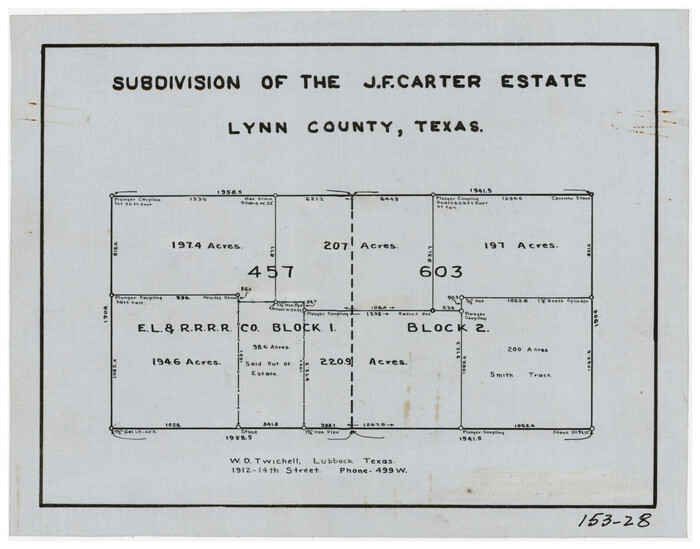

Print $3.00
- Digital $50.00
Subdivision of the J. F. Carter Estate
Size 11.8 x 9.6 inches
Map/Doc 91273
Littlefield, Lamb County, Texas
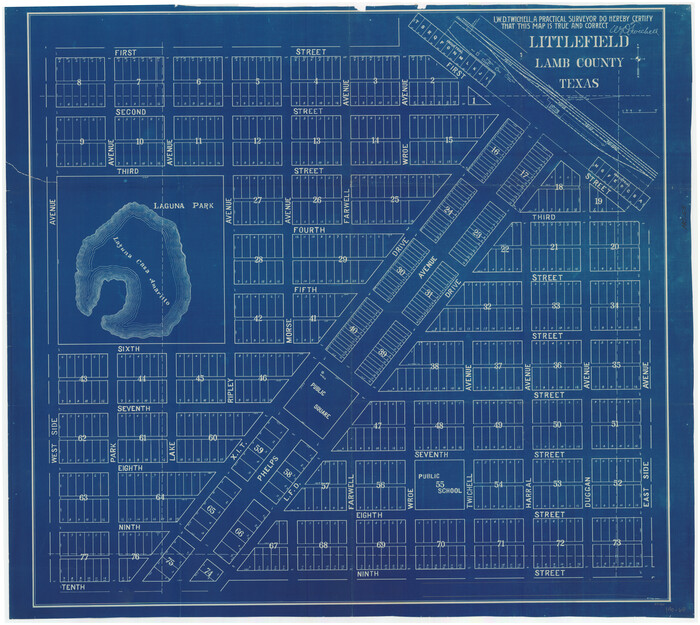

Print $20.00
- Digital $50.00
Littlefield, Lamb County, Texas
Size 42.4 x 38.0 inches
Map/Doc 89966
[East half of Crockett County]
![92997, [East half of Crockett County], Twichell Survey Records](https://historictexasmaps.com/wmedia_w700/maps/92997-1.tif.jpg)
![92997, [East half of Crockett County], Twichell Survey Records](https://historictexasmaps.com/wmedia_w700/maps/92997-1.tif.jpg)
Print $20.00
- Digital $50.00
[East half of Crockett County]
Size 15.2 x 21.9 inches
Map/Doc 92997
Map Showing the Jo Dick Slaughter Lands in Dawson, Martin, Borden, and Howard Counties, Texas
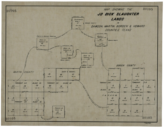

Print $20.00
- Digital $50.00
Map Showing the Jo Dick Slaughter Lands in Dawson, Martin, Borden, and Howard Counties, Texas
Size 26.6 x 20.8 inches
Map/Doc 92506
[Sketch showing School Lands]
![90448, [Sketch showing School Lands], Twichell Survey Records](https://historictexasmaps.com/wmedia_w700/maps/90448-1.tif.jpg)
![90448, [Sketch showing School Lands], Twichell Survey Records](https://historictexasmaps.com/wmedia_w700/maps/90448-1.tif.jpg)
Print $20.00
- Digital $50.00
[Sketch showing School Lands]
Size 16.3 x 12.2 inches
Map/Doc 90448
Map of Blocks No. 46 and 47 made in the name of Houston and Texas Central RR. Co. in Oldham District


Print $20.00
- Digital $50.00
Map of Blocks No. 46 and 47 made in the name of Houston and Texas Central RR. Co. in Oldham District
1884
Size 40.8 x 27.0 inches
Map/Doc 91818
[Sketch around Falls County School Land and surveys to South]
![91886, [Sketch around Falls County School Land and surveys to South], Twichell Survey Records](https://historictexasmaps.com/wmedia_w700/maps/91886-1.tif.jpg)
![91886, [Sketch around Falls County School Land and surveys to South], Twichell Survey Records](https://historictexasmaps.com/wmedia_w700/maps/91886-1.tif.jpg)
Print $20.00
- Digital $50.00
[Sketch around Falls County School Land and surveys to South]
1894
Size 13.1 x 12.1 inches
Map/Doc 91886
[Surveys Along Canadian River]
![92359, [Surveys Along Canadian River], Twichell Survey Records](https://historictexasmaps.com/wmedia_w700/maps/92359-1.tif.jpg)
![92359, [Surveys Along Canadian River], Twichell Survey Records](https://historictexasmaps.com/wmedia_w700/maps/92359-1.tif.jpg)
Print $20.00
- Digital $50.00
[Surveys Along Canadian River]
Size 42.9 x 27.0 inches
Map/Doc 92359
You may also like
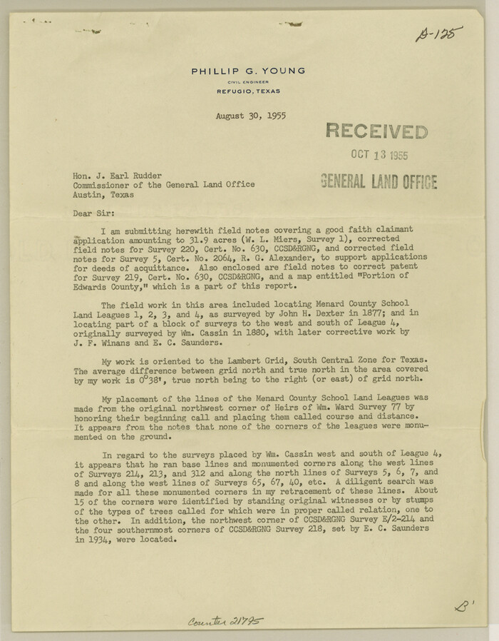
Edwards County Sketch File 47

Print $24.00
- Digital $50.00
Edwards County Sketch File 47
1955
Size 11.4 x 8.9 inches
Map/Doc 21795
[East Portion of Lea County] / [Central part of San Miguel County, New Mexico]
![92033, [East Portion of Lea County] / [Central part of San Miguel County, New Mexico], Twichell Survey Records](https://historictexasmaps.com/wmedia_w700/maps/92033-1.tif.jpg)
![92033, [East Portion of Lea County] / [Central part of San Miguel County, New Mexico], Twichell Survey Records](https://historictexasmaps.com/wmedia_w700/maps/92033-1.tif.jpg)
Print $20.00
- Digital $50.00
[East Portion of Lea County] / [Central part of San Miguel County, New Mexico]
Size 26.9 x 13.9 inches
Map/Doc 92033
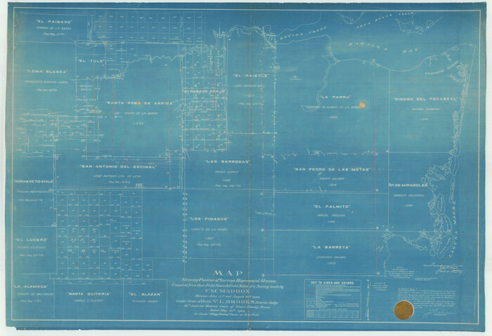
Map Showing Position of Surveys Represented Hereon

Print $40.00
- Digital $50.00
Map Showing Position of Surveys Represented Hereon
Size 39.6 x 57.9 inches
Map/Doc 75810
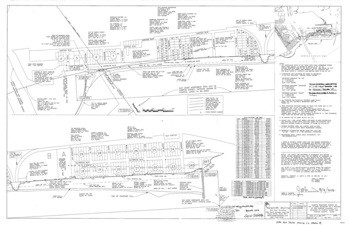
Nueces County NRC Article 33.136 Sketch 18

Print $74.00
- Digital $50.00
Nueces County NRC Article 33.136 Sketch 18
2014
Size 22.0 x 34.0 inches
Map/Doc 94714
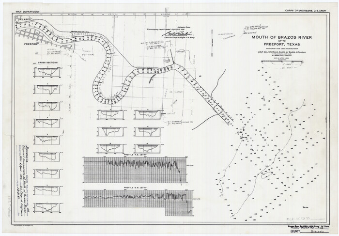
Brazoria County Rolled Sketch 50

Print $20.00
- Digital $50.00
Brazoria County Rolled Sketch 50
1914
Size 18.4 x 26.4 inches
Map/Doc 5187
Principal Watersheds of Texas


Print $20.00
Principal Watersheds of Texas
1935
Size 34.8 x 45.1 inches
Map/Doc 76306
Gregg County Working Sketch 16
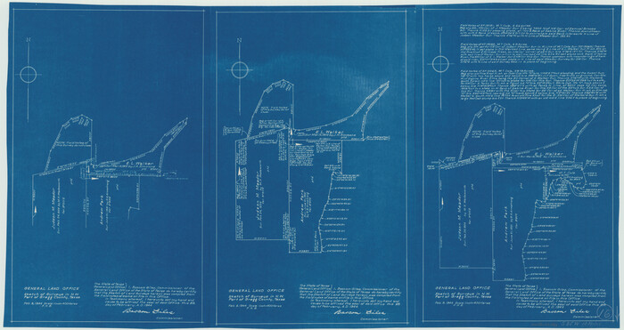

Print $20.00
- Digital $50.00
Gregg County Working Sketch 16
1944
Size 14.8 x 27.9 inches
Map/Doc 63283
Flight Mission No. DQN-2K, Frame 84, Calhoun County
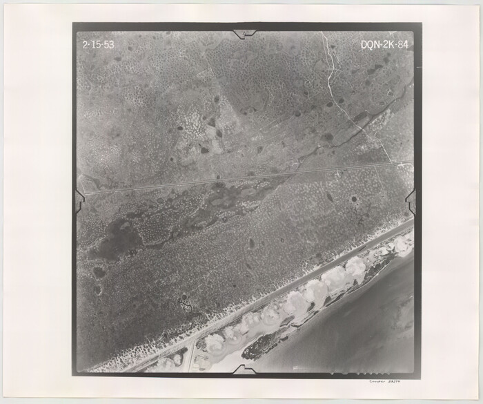

Print $20.00
- Digital $50.00
Flight Mission No. DQN-2K, Frame 84, Calhoun County
1953
Size 18.5 x 22.2 inches
Map/Doc 84274
Howard County Rolled Sketch 2
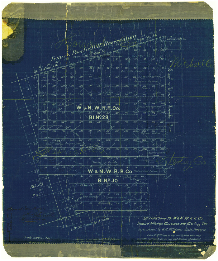

Print $20.00
- Digital $50.00
Howard County Rolled Sketch 2
1905
Size 27.6 x 23.0 inches
Map/Doc 6232
Upshur County Sketch File 13
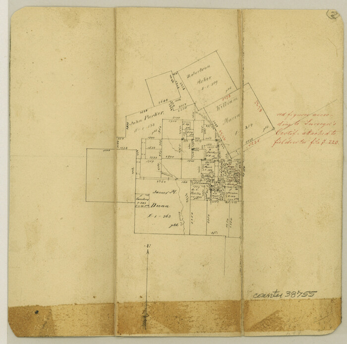

Print $4.00
- Digital $50.00
Upshur County Sketch File 13
1861
Size 8.2 x 8.3 inches
Map/Doc 38755
[Texas & Pacific Railway through Callahan County]
![64235, [Texas & Pacific Railway through Callahan County], General Map Collection](https://historictexasmaps.com/wmedia_w700/maps/64235.tif.jpg)
![64235, [Texas & Pacific Railway through Callahan County], General Map Collection](https://historictexasmaps.com/wmedia_w700/maps/64235.tif.jpg)
Print $20.00
- Digital $50.00
[Texas & Pacific Railway through Callahan County]
1918
Size 23.2 x 8.3 inches
Map/Doc 64235
![91781, [H. & G. N. Blocks 1-4 and Blocks C-19, C-20, 54, 55 and 56], Twichell Survey Records](https://historictexasmaps.com/wmedia_w1800h1800/maps/91781-1.tif.jpg)
