[East Portion of Lea County] / [Central part of San Miguel County, New Mexico]
NM-1
-
Map/Doc
92033
-
Collection
Twichell Survey Records
-
Counties
Lea [New Mexico]
-
Height x Width
26.9 x 13.9 inches
68.3 x 35.3 cm
Part of: Twichell Survey Records
[Block 1PD and Vicinity]
![91536, [Block 1PD and Vicinity], Twichell Survey Records](https://historictexasmaps.com/wmedia_w700/maps/91536-1.tif.jpg)
![91536, [Block 1PD and Vicinity], Twichell Survey Records](https://historictexasmaps.com/wmedia_w700/maps/91536-1.tif.jpg)
Print $3.00
- Digital $50.00
[Block 1PD and Vicinity]
Size 11.4 x 9.7 inches
Map/Doc 91536
Reagan County Working Sketch


Print $20.00
- Digital $50.00
Reagan County Working Sketch
1923
Size 27.0 x 17.5 inches
Map/Doc 92971
Glasscock Public Roads


Print $20.00
- Digital $50.00
Glasscock Public Roads
Size 38.3 x 36.8 inches
Map/Doc 89944
[Area Surrounding Charles Ragsdale, M. George, and H. Ward Surveys]
![91535, [Area Surrounding Charles Ragsdale, M. George, and H. Ward Surveys], Twichell Survey Records](https://historictexasmaps.com/wmedia_w700/maps/91535-1.tif.jpg)
![91535, [Area Surrounding Charles Ragsdale, M. George, and H. Ward Surveys], Twichell Survey Records](https://historictexasmaps.com/wmedia_w700/maps/91535-1.tif.jpg)
Print $20.00
- Digital $50.00
[Area Surrounding Charles Ragsdale, M. George, and H. Ward Surveys]
Size 20.0 x 23.3 inches
Map/Doc 91535
Bauer & Cockrell Lands Located in Martin County, Texas
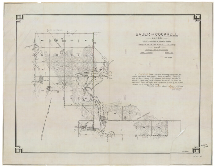

Print $20.00
- Digital $50.00
Bauer & Cockrell Lands Located in Martin County, Texas
1908
Size 28.5 x 22.3 inches
Map/Doc 91365
Working Sketch in Crockett County
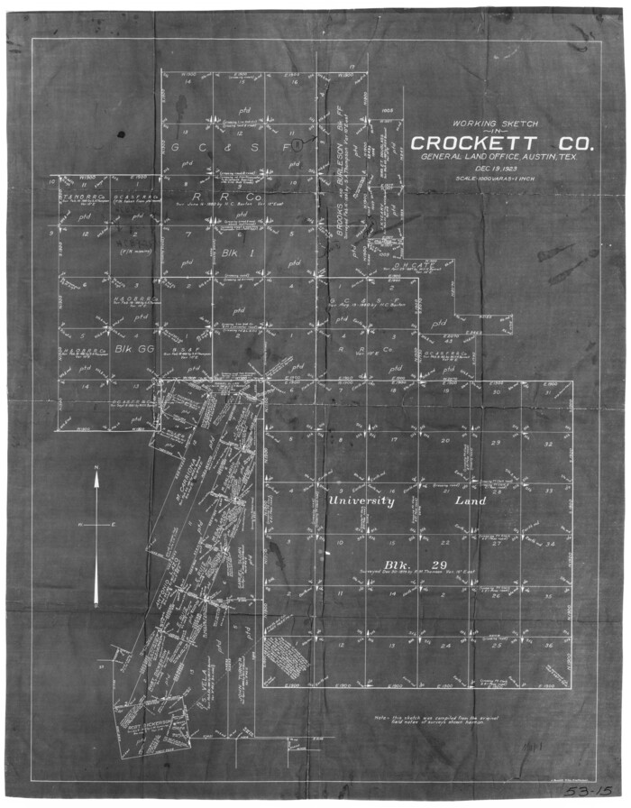

Print $20.00
- Digital $50.00
Working Sketch in Crockett County
1923
Size 23.2 x 29.6 inches
Map/Doc 90315
Section 39 Block Y
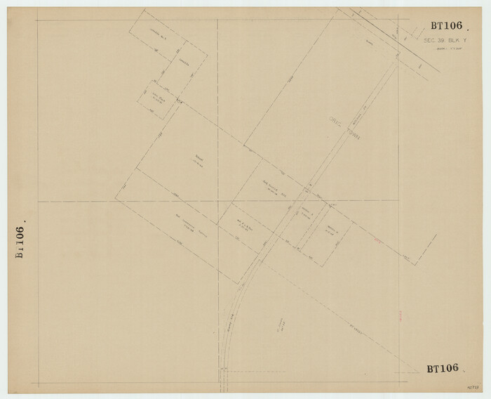

Print $20.00
- Digital $50.00
Section 39 Block Y
Size 23.9 x 19.4 inches
Map/Doc 92463
[Part of Eastern Texas RR. Co. Block 1]
![91897, [Part of Eastern Texas RR. Co. Block 1], Twichell Survey Records](https://historictexasmaps.com/wmedia_w700/maps/91897-1.tif.jpg)
![91897, [Part of Eastern Texas RR. Co. Block 1], Twichell Survey Records](https://historictexasmaps.com/wmedia_w700/maps/91897-1.tif.jpg)
Print $20.00
- Digital $50.00
[Part of Eastern Texas RR. Co. Block 1]
Size 12.0 x 16.2 inches
Map/Doc 91897
Robertson & Scott V Ranch situated in Crosby County, Texas


Print $40.00
- Digital $50.00
Robertson & Scott V Ranch situated in Crosby County, Texas
Size 41.2 x 48.8 inches
Map/Doc 89758
Desdemona Oil Pool
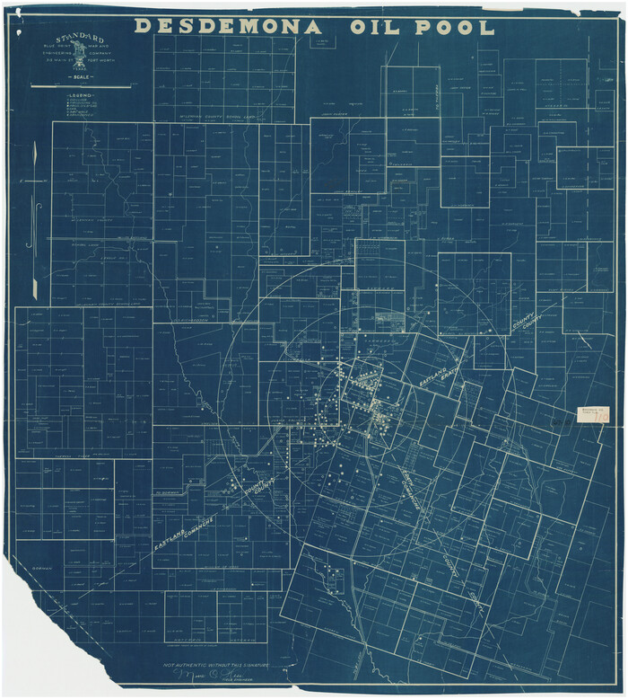

Print $20.00
- Digital $50.00
Desdemona Oil Pool
Size 38.7 x 43.1 inches
Map/Doc 89773
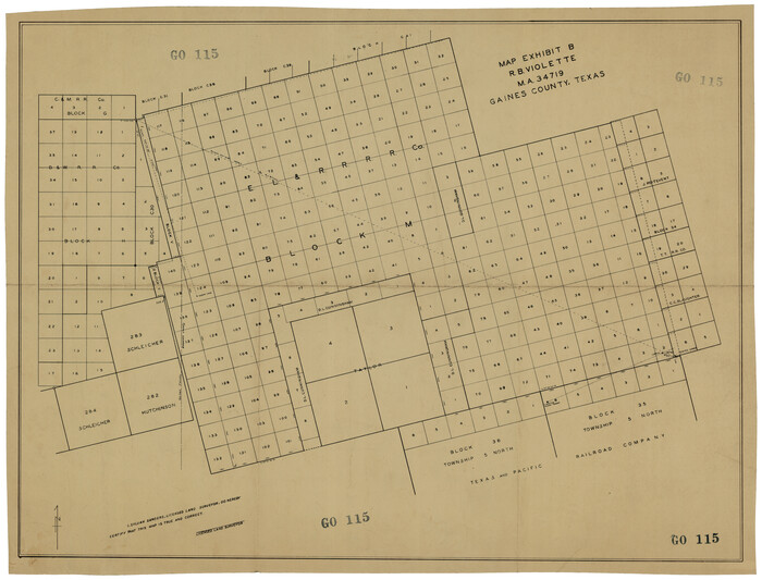
Map Exhibit B, R. B. Violette, M. A. 34719, Gaines County, Texas

Print $20.00
- Digital $50.00
Map Exhibit B, R. B. Violette, M. A. 34719, Gaines County, Texas
Size 30.3 x 23.3 inches
Map/Doc 92654
Ownership Map Lamb County


Print $20.00
- Digital $50.00
Ownership Map Lamb County
1934
Size 37.6 x 45.0 inches
Map/Doc 89847
You may also like
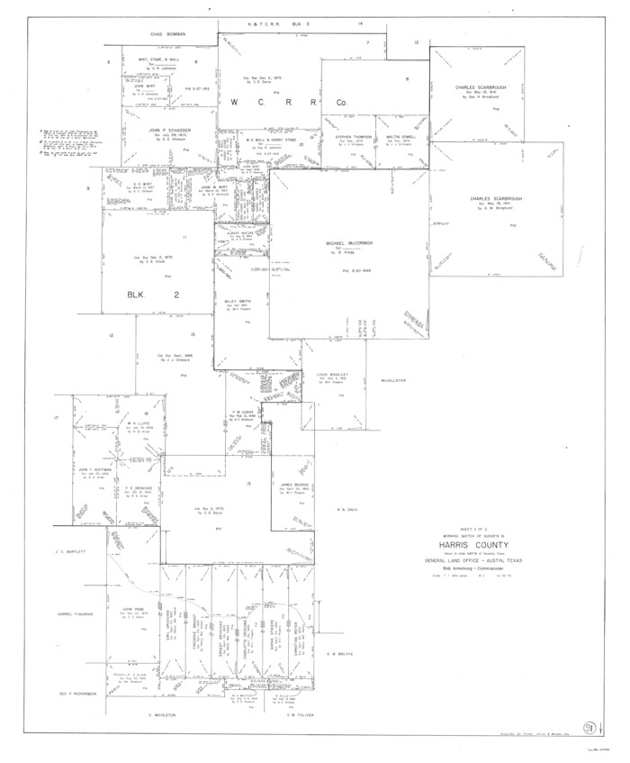
Harris County Working Sketch 91

Print $20.00
- Digital $50.00
Harris County Working Sketch 91
1973
Size 44.6 x 36.9 inches
Map/Doc 65983
Flight Mission No. BRA-7M, Frame 195, Jefferson County


Print $20.00
- Digital $50.00
Flight Mission No. BRA-7M, Frame 195, Jefferson County
1953
Size 18.5 x 22.4 inches
Map/Doc 85563
Conway, Carson County, Texas


Print $20.00
- Digital $50.00
Conway, Carson County, Texas
Size 17.2 x 22.3 inches
Map/Doc 90227
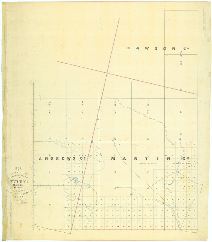
Map of Surveys Made for the T&PRR in Andrews & Martin Counties, Blocks 37, 38, 39, 40 & 41, Reserve West of the Colorado River

Print $20.00
- Digital $50.00
Map of Surveys Made for the T&PRR in Andrews & Martin Counties, Blocks 37, 38, 39, 40 & 41, Reserve West of the Colorado River
1876
Size 42.0 x 36.8 inches
Map/Doc 2229
Orange County Sketch File 27


Print $20.00
- Digital $50.00
Orange County Sketch File 27
1915
Size 18.6 x 21.8 inches
Map/Doc 12123
Location from Del Rio to Johnstone, Southern Pacific Railway Co.


Print $20.00
- Digital $50.00
Location from Del Rio to Johnstone, Southern Pacific Railway Co.
Size 13.3 x 44.3 inches
Map/Doc 64290
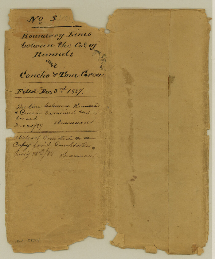
Runnels County Boundary File 1

Print $42.00
- Digital $50.00
Runnels County Boundary File 1
Size 9.3 x 7.7 inches
Map/Doc 58504
United States - Gulf Coast Texas - Northern part of Laguna Madre


Print $20.00
- Digital $50.00
United States - Gulf Coast Texas - Northern part of Laguna Madre
1941
Size 18.3 x 24.0 inches
Map/Doc 72937
Flight Mission No. BRE-1P, Frame 75, Nueces County


Print $20.00
- Digital $50.00
Flight Mission No. BRE-1P, Frame 75, Nueces County
1956
Size 18.4 x 22.2 inches
Map/Doc 86657
Brewster County Working Sketch 80


Print $20.00
- Digital $50.00
Brewster County Working Sketch 80
1972
Size 44.3 x 39.1 inches
Map/Doc 67680
Bowie County Sketch File 6a
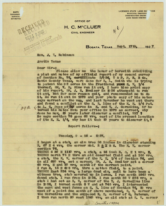

Print $8.00
- Digital $50.00
Bowie County Sketch File 6a
1927
Size 10.6 x 8.6 inches
Map/Doc 14844
Blanco County Working Sketch 31


Print $20.00
- Digital $50.00
Blanco County Working Sketch 31
1972
Size 19.1 x 25.7 inches
Map/Doc 67391
![92033, [East Portion of Lea County] / [Central part of San Miguel County, New Mexico], Twichell Survey Records](https://historictexasmaps.com/wmedia_w1800h1800/maps/92033-1.tif.jpg)