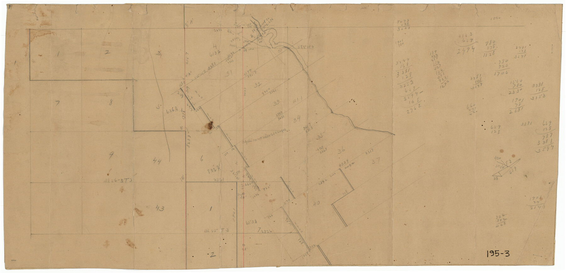
C-20
195-3
-
Map/Doc
91769
-
Collection
Twichell Survey Records
-
Counties
Reeves
-
Height x Width
21.0 x 10.1 inches
53.3 x 25.7 cm
Part of: Twichell Survey Records
[Sketch of Public School Land Blocks A56, A57, B1, B2, B10, T&P 46]
![91978, [Sketch of Public School Land Blocks A56, A57, B1, B2, B10, T&P 46], Twichell Survey Records](https://historictexasmaps.com/wmedia_w700/maps/91978-1.tif.jpg)
Print $20.00
- Digital $50.00
[Sketch of Public School Land Blocks A56, A57, B1, B2, B10, T&P 46]
Size 20.0 x 23.2 inches
Map/Doc 91978
[Blocks T2, T3, and K13]
![90989, [Blocks T2, T3, and K13], Twichell Survey Records](https://historictexasmaps.com/wmedia_w700/maps/90989-1.tif.jpg)
Print $20.00
- Digital $50.00
[Blocks T2, T3, and K13]
Size 20.6 x 19.8 inches
Map/Doc 90989
Working Sketch in Pecos Co. [now Val Verde and Terrell Counties] / [Connecting Lines]
![91945, Working Sketch in Pecos Co. [now Val Verde and Terrell Counties] / [Connecting Lines], Twichell Survey Records](https://historictexasmaps.com/wmedia_w700/maps/91945-1.tif.jpg)
Print $20.00
- Digital $50.00
Working Sketch in Pecos Co. [now Val Verde and Terrell Counties] / [Connecting Lines]
Size 29.6 x 21.8 inches
Map/Doc 91945
Section L Tech Memorial Park, Inc.

Print $3.00
- Digital $50.00
Section L Tech Memorial Park, Inc.
1950
Size 11.7 x 12.8 inches
Map/Doc 92270
Preliminary Re-Plat of Lots 13-20, 45-52, 77-84, and 97-104 James Subdivision

Print $2.00
- Digital $50.00
Preliminary Re-Plat of Lots 13-20, 45-52, 77-84, and 97-104 James Subdivision
1953
Size 8.7 x 11.3 inches
Map/Doc 93221
[PSL Blocks C43 and C44 and Dawson and Gaines County School Lands]
![90813, [PSL Blocks C43 and C44 and Dawson and Gaines County School Lands], Twichell Survey Records](https://historictexasmaps.com/wmedia_w700/maps/90813-2.tif.jpg)
Print $3.00
- Digital $50.00
[PSL Blocks C43 and C44 and Dawson and Gaines County School Lands]
1950
Size 9.5 x 15.8 inches
Map/Doc 90813
Subdivision of Sutton County School League 175, Bailey County, Texas

Print $2.00
- Digital $50.00
Subdivision of Sutton County School League 175, Bailey County, Texas
1929
Size 8.9 x 11.5 inches
Map/Doc 90201
[Survey 9, Block 9 Potter and Randall]
![91720, [Survey 9, Block 9 Potter and Randall], Twichell Survey Records](https://historictexasmaps.com/wmedia_w700/maps/91720-1.tif.jpg)
Print $20.00
- Digital $50.00
[Survey 9, Block 9 Potter and Randall]
Size 22.3 x 15.9 inches
Map/Doc 91720
Part of Garza, Crosby, Lynn, and Lubbock Counties

Print $20.00
- Digital $50.00
Part of Garza, Crosby, Lynn, and Lubbock Counties
1912
Size 25.3 x 20.0 inches
Map/Doc 91312
Lubbock Cemetery

Print $40.00
- Digital $50.00
Lubbock Cemetery
Size 42.2 x 53.7 inches
Map/Doc 89912
[Wilson Strickland Survey]
![91374, [Wilson Strickland Survey], Twichell Survey Records](https://historictexasmaps.com/wmedia_w700/maps/91374-1.tif.jpg)
Print $20.00
- Digital $50.00
[Wilson Strickland Survey]
Size 38.1 x 31.5 inches
Map/Doc 91374
[East and South lines of County]
![93137, [East and South lines of County], Twichell Survey Records](https://historictexasmaps.com/wmedia_w700/maps/93137-1.tif.jpg)
Print $40.00
- Digital $50.00
[East and South lines of County]
Size 75.7 x 9.0 inches
Map/Doc 93137
You may also like
Buenaventura Reyes Grants

Print $20.00
- Digital $50.00
Buenaventura Reyes Grants
1896
Size 14.9 x 13.5 inches
Map/Doc 2057
Flight Mission No. DQO-6K, Frame 20, Galveston County

Print $20.00
- Digital $50.00
Flight Mission No. DQO-6K, Frame 20, Galveston County
1952
Size 18.8 x 22.3 inches
Map/Doc 85093
[Township 5-S, Blocks 36, 37 & 38]
![92292, [Township 5-S, Blocks 36, 37 & 38], Twichell Survey Records](https://historictexasmaps.com/wmedia_w700/maps/92292-1.tif.jpg)
Print $20.00
- Digital $50.00
[Township 5-S, Blocks 36, 37 & 38]
1952
Size 27.7 x 26.6 inches
Map/Doc 92292
El Paso County Rolled Sketch 49

Print $40.00
- Digital $50.00
El Paso County Rolled Sketch 49
Size 10.5 x 104.9 inches
Map/Doc 76061
Parker County Sketch File 1a

Print $2.00
- Digital $50.00
Parker County Sketch File 1a
1859
Size 8.6 x 5.5 inches
Map/Doc 33518
Kimble County Sketch File 14

Print $26.00
- Digital $50.00
Kimble County Sketch File 14
1886
Size 14.1 x 8.6 inches
Map/Doc 28939
[Surveys along the San Marcos River]
![158, [Surveys along the San Marcos River], General Map Collection](https://historictexasmaps.com/wmedia_w700/maps/158.tif.jpg)
Print $2.00
- Digital $50.00
[Surveys along the San Marcos River]
Size 7.7 x 5.8 inches
Map/Doc 158
Liberty County Working Sketch 61

Print $20.00
- Digital $50.00
Liberty County Working Sketch 61
1969
Size 43.3 x 32.0 inches
Map/Doc 70521
Uvalde County Sketch File 4

Print $22.00
- Digital $50.00
Uvalde County Sketch File 4
1879
Size 12.8 x 8.3 inches
Map/Doc 38951
Kleberg County Rolled Sketch 10

Print $20.00
- Digital $50.00
Kleberg County Rolled Sketch 10
1952
Size 42.8 x 37.3 inches
Map/Doc 9397
Val Verde County Working Sketch 90

Print $40.00
- Digital $50.00
Val Verde County Working Sketch 90
1974
Size 49.1 x 32.9 inches
Map/Doc 72225
[Sketch for Mineral Application 24072, San Jacinto River]
![65599, [Sketch for Mineral Application 24072, San Jacinto River], General Map Collection](https://historictexasmaps.com/wmedia_w700/maps/65599.tif.jpg)
Print $20.00
- Digital $50.00
[Sketch for Mineral Application 24072, San Jacinto River]
1929
Size 23.5 x 18.0 inches
Map/Doc 65599