[Sketch for Mineral Application 24072, San Jacinto River]
K-1-40
-
Map/Doc
65599
-
Collection
General Map Collection
-
Object Dates
1929 (Creation Date)
-
Counties
Montgomery
-
Subjects
Energy Offshore Submerged Area
-
Height x Width
23.5 x 18.0 inches
59.7 x 45.7 cm
Part of: General Map Collection
Starr County Sketch File 37


Print $10.00
- Digital $50.00
Starr County Sketch File 37
1940
Size 2.7 x 8.8 inches
Map/Doc 36980
[Sketch for Mineral Application 16341 - Clear Fork of Brazos River, Taylor & Holcomb]
![65571, [Sketch for Mineral Application 16341 - Clear Fork of Brazos River, Taylor & Holcomb], General Map Collection](https://historictexasmaps.com/wmedia_w700/maps/65571.tif.jpg)
![65571, [Sketch for Mineral Application 16341 - Clear Fork of Brazos River, Taylor & Holcomb], General Map Collection](https://historictexasmaps.com/wmedia_w700/maps/65571.tif.jpg)
Print $40.00
- Digital $50.00
[Sketch for Mineral Application 16341 - Clear Fork of Brazos River, Taylor & Holcomb]
1926
Size 122.3 x 36.7 inches
Map/Doc 65571
McCulloch County Working Sketch 9
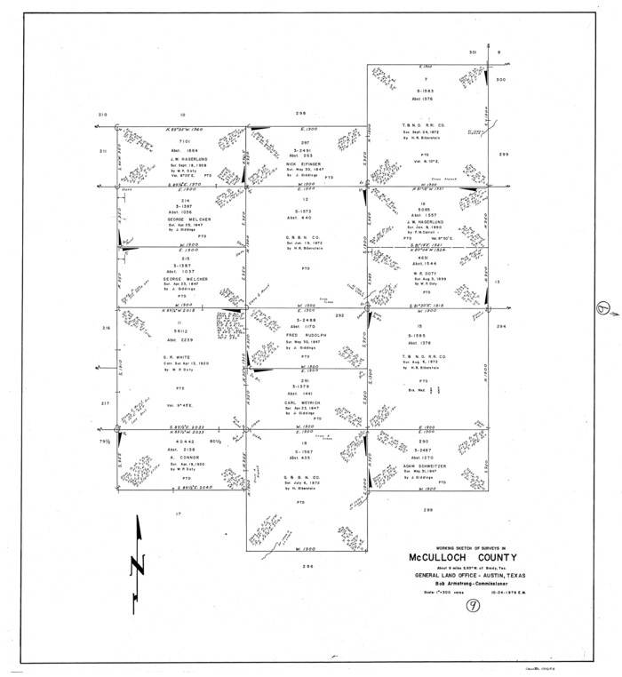

Print $20.00
- Digital $50.00
McCulloch County Working Sketch 9
1978
Size 35.6 x 32.7 inches
Map/Doc 70684
Hudspeth County Rolled Sketch 37
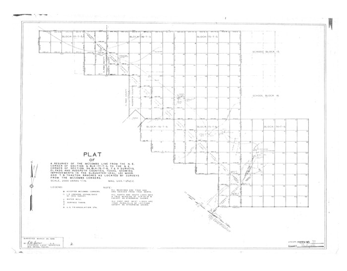

Print $20.00
- Digital $50.00
Hudspeth County Rolled Sketch 37
1938
Size 23.3 x 29.8 inches
Map/Doc 6250
Flight Mission No. BRA-9M, Frame 71, Jefferson County
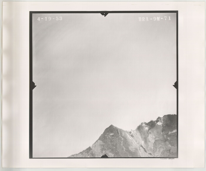

Print $20.00
- Digital $50.00
Flight Mission No. BRA-9M, Frame 71, Jefferson County
1953
Size 18.5 x 22.4 inches
Map/Doc 85654
Roberts County Working Sketch 45
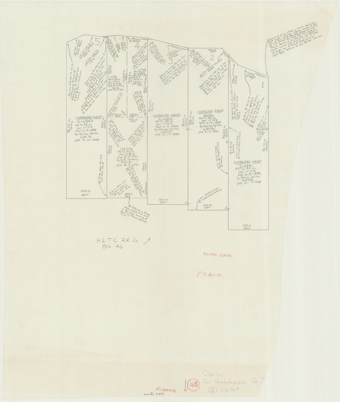

Print $20.00
- Digital $50.00
Roberts County Working Sketch 45
1979
Size 23.7 x 20.0 inches
Map/Doc 63571
Northeast Part Pecos County
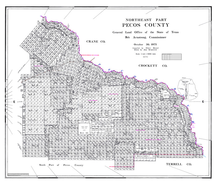

Print $20.00
- Digital $50.00
Northeast Part Pecos County
1975
Size 36.9 x 43.4 inches
Map/Doc 95611
Leon County Working Sketch 48


Print $20.00
- Digital $50.00
Leon County Working Sketch 48
1980
Size 29.2 x 33.7 inches
Map/Doc 70447
Travis County
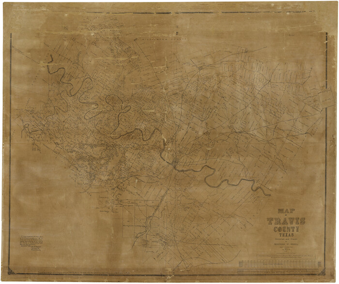

Print $40.00
- Digital $50.00
Travis County
1880
Size 59.0 x 70.2 inches
Map/Doc 16902
Flight Mission No. DQN-1K, Frame 82, Calhoun County

Print $20.00
- Digital $50.00
Flight Mission No. DQN-1K, Frame 82, Calhoun County
1953
Size 18.5 x 22.2 inches
Map/Doc 84167
Flight Mission No. BRE-1P, Frame 67, Nueces County
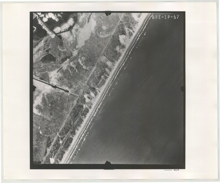

Print $20.00
- Digital $50.00
Flight Mission No. BRE-1P, Frame 67, Nueces County
1956
Size 18.7 x 22.4 inches
Map/Doc 86649
Flight Mission No. CRC-2R, Frame 193, Chambers County
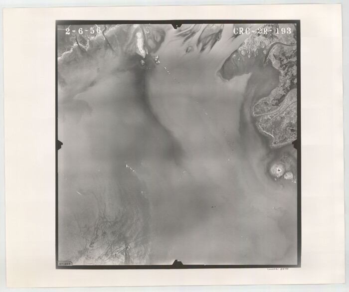

Print $20.00
- Digital $50.00
Flight Mission No. CRC-2R, Frame 193, Chambers County
1956
Size 18.9 x 22.5 inches
Map/Doc 84771
You may also like
Working Sketch in Mitchell, Sterling, and Coke Co's.
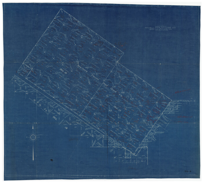

Print $20.00
- Digital $50.00
Working Sketch in Mitchell, Sterling, and Coke Co's.
1925
Size 34.2 x 30.7 inches
Map/Doc 91840
Flight Mission No. DQO-6K, Frame 22, Galveston County
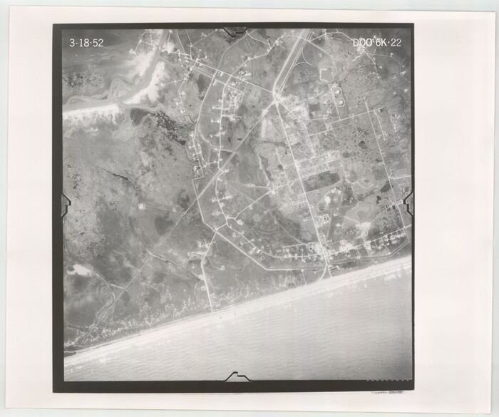

Print $20.00
- Digital $50.00
Flight Mission No. DQO-6K, Frame 22, Galveston County
1952
Size 18.8 x 22.4 inches
Map/Doc 85095
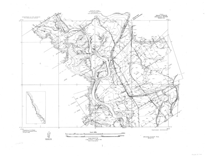
Brazos River, Brazos River Sheet 8

Print $4.00
- Digital $50.00
Brazos River, Brazos River Sheet 8
1926
Size 22.6 x 29.2 inches
Map/Doc 65301
Jack County Sketch File 5


Print $6.00
- Digital $50.00
Jack County Sketch File 5
1875
Size 11.0 x 10.8 inches
Map/Doc 27508
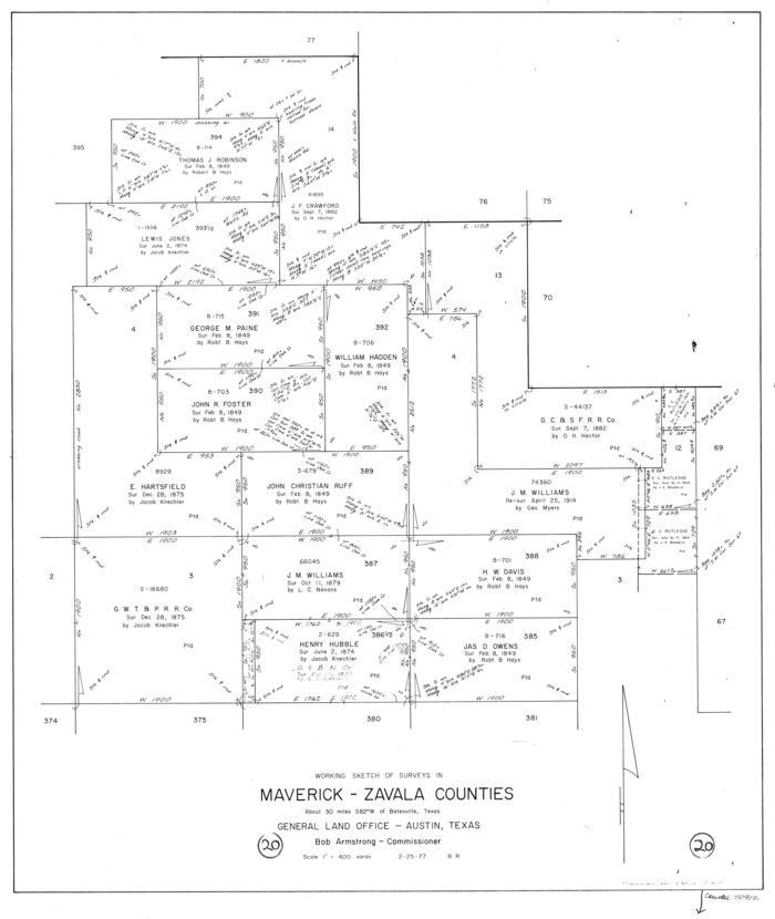
Maverick County Working Sketch 20

Print $20.00
- Digital $50.00
Maverick County Working Sketch 20
1977
Size 26.1 x 22.0 inches
Map/Doc 70912
Travis County Working Sketch 3


Print $20.00
- Digital $50.00
Travis County Working Sketch 3
1906
Size 19.5 x 15.0 inches
Map/Doc 69387
Morris County Working Sketch 3


Print $20.00
- Digital $50.00
Morris County Working Sketch 3
1958
Size 27.6 x 38.2 inches
Map/Doc 71202
Map of Crockett County


Print $40.00
- Digital $50.00
Map of Crockett County
1878
Size 62.6 x 49.7 inches
Map/Doc 93373
Corpus Christi Bay


Print $20.00
- Digital $50.00
Corpus Christi Bay
1971
Size 36.2 x 47.6 inches
Map/Doc 73473
Harris County Rolled Sketch P4


Print $20.00
- Digital $50.00
Harris County Rolled Sketch P4
1920
Size 12.1 x 34.6 inches
Map/Doc 6143
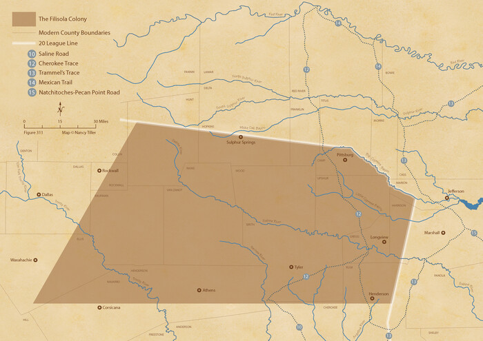
Filisola Empresario Colony. October 15, 1831

Print $20.00
Filisola Empresario Colony. October 15, 1831
2020
Size 15.3 x 21.7 inches
Map/Doc 95995
![65599, [Sketch for Mineral Application 24072, San Jacinto River], General Map Collection](https://historictexasmaps.com/wmedia_w1800h1800/maps/65599.tif.jpg)
