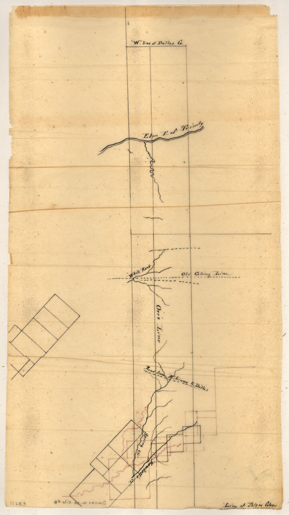
Dallas County Sketch File 6
[Sketches of connecting lines between Fannin, Nacogdoches, and Robertson Districts taken from Peter's Colony map]
-
Map/Doc
11283
-
Collection
General Map Collection
-
Object Dates
9/3/1850 (Creation Date)
-
Counties
Dallas
-
Subjects
Surveying Sketch File
-
Height x Width
19.9 x 25.1 inches
50.6 x 63.8 cm
-
Medium
paper, manuscript
-
Features
Elm Fork of Trinity River
White Rock Creek
Road from McKinney to Dallas
McKinney Road
Dallas Road
Spring Creek
Rowlett's Creek
Peter's Colony
Part of: General Map Collection
Fort Bend County Working Sketch 26

Print $20.00
- Digital $50.00
Fort Bend County Working Sketch 26
1982
Size 18.5 x 23.6 inches
Map/Doc 69232
Garza County Sketch File 6

Print $8.00
- Digital $50.00
Garza County Sketch File 6
1900
Size 14.2 x 8.7 inches
Map/Doc 24056
Fisher County Working Sketch 19

Print $20.00
- Digital $50.00
Fisher County Working Sketch 19
1962
Size 26.2 x 25.5 inches
Map/Doc 69153
Hale County Sketch File 19

Print $4.00
- Digital $50.00
Hale County Sketch File 19
Size 8.4 x 8.8 inches
Map/Doc 24751
Flight Mission No. DQO-2K, Frame 142, Galveston County

Print $20.00
- Digital $50.00
Flight Mission No. DQO-2K, Frame 142, Galveston County
1952
Size 18.8 x 22.4 inches
Map/Doc 85039
General-karte der Vereinigten Staaten von Nord-Amerika nebst den grosst. Theilen von Canada & Tejas

Print $20.00
- Digital $50.00
General-karte der Vereinigten Staaten von Nord-Amerika nebst den grosst. Theilen von Canada & Tejas
1850
Size 30.3 x 38.9 inches
Map/Doc 96790
McClennan County Robertson District East of the Brazos Milam District West of the Brazos

Print $20.00
- Digital $50.00
McClennan County Robertson District East of the Brazos Milam District West of the Brazos
1878
Size 21.0 x 23.4 inches
Map/Doc 3865
Baylor County Boundary File 13

Print $44.00
- Digital $50.00
Baylor County Boundary File 13
Size 4.3 x 9.7 inches
Map/Doc 50424
Kimble County Sketch File 6

Print $4.00
- Digital $50.00
Kimble County Sketch File 6
Size 6.4 x 8.0 inches
Map/Doc 28918
Lee County Working Sketch Graphic Index

Print $20.00
- Digital $50.00
Lee County Working Sketch Graphic Index
1945
Size 38.2 x 44.6 inches
Map/Doc 76617
Cherokee County Working Sketch 10

Print $40.00
- Digital $50.00
Cherokee County Working Sketch 10
1957
Size 58.1 x 43.2 inches
Map/Doc 67965
Robertson County Sketch File 1

Print $7.00
- Digital $50.00
Robertson County Sketch File 1
1857
Size 12.8 x 8.2 inches
Map/Doc 35340
You may also like
[Blocks O18, G. & M. Block 3 and Blocks B10, B11 and 47]
![91813, [Blocks O18, G. & M. Block 3 and Blocks B10, B11 and 47], Twichell Survey Records](https://historictexasmaps.com/wmedia_w700/maps/91813-1.tif.jpg)
Print $20.00
- Digital $50.00
[Blocks O18, G. & M. Block 3 and Blocks B10, B11 and 47]
Size 19.7 x 30.0 inches
Map/Doc 91813
Location Through GC&SFRRCo., Runnels County, Texas

Print $20.00
- Digital $50.00
Location Through GC&SFRRCo., Runnels County, Texas
1898
Size 21.5 x 32.8 inches
Map/Doc 64509
Presidio County Working Sketch 93

Print $20.00
- Digital $50.00
Presidio County Working Sketch 93
1976
Size 27.7 x 27.3 inches
Map/Doc 71770
Borden County Rolled Sketch 10

Print $40.00
- Digital $50.00
Borden County Rolled Sketch 10
1952
Size 110.6 x 29.8 inches
Map/Doc 8449
Kent County Rolled Sketch 5

Print $20.00
- Digital $50.00
Kent County Rolled Sketch 5
1951
Size 43.7 x 36.9 inches
Map/Doc 78522
Map of survey of the 100th Meridian west longitude, extending from the north bank of Red River to the intersection of the Northern Boundary of the Creek or Seminole Country

Print $40.00
- Digital $50.00
Map of survey of the 100th Meridian west longitude, extending from the north bank of Red River to the intersection of the Northern Boundary of the Creek or Seminole Country
Size 113.1 x 11.7 inches
Map/Doc 73565


Refugio County Working Sketch 14

Print $20.00
- Digital $50.00
Refugio County Working Sketch 14
1961
Size 25.7 x 21.7 inches
Map/Doc 63523
Medina County Boundary File 2

Print $11.00
- Digital $50.00
Medina County Boundary File 2
Size 13.0 x 8.1 inches
Map/Doc 57026
Childress County Rolled Sketch 3

Print $40.00
- Digital $50.00
Childress County Rolled Sketch 3
Size 21.1 x 57.0 inches
Map/Doc 8598
Callahan County Working Sketch 6

Print $20.00
- Digital $50.00
Callahan County Working Sketch 6
1955
Size 30.2 x 18.8 inches
Map/Doc 67888