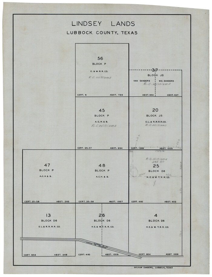
[Sketch highlighting Bob Reid and Fred Turner surveys]
186-48
-
Map/Doc
91691
-
Collection
Twichell Survey Records
-
Counties
Pecos
-
Height x Width
9.8 x 16.1 inches
24.9 x 40.9 cm
Part of: Twichell Survey Records
[State Capitol Lands and various county School Land Leagues]
![90508, [State Capitol Lands and various county School Land Leagues], Twichell Survey Records](https://historictexasmaps.com/wmedia_w700/maps/90508-1.tif.jpg)
![90508, [State Capitol Lands and various county School Land Leagues], Twichell Survey Records](https://historictexasmaps.com/wmedia_w700/maps/90508-1.tif.jpg)
Print $2.00
- Digital $50.00
[State Capitol Lands and various county School Land Leagues]
1903
Size 8.3 x 10.1 inches
Map/Doc 90508
[Block 37, Townships 1 and 2 North]
![91344, [Block 37, Townships 1 and 2 North], Twichell Survey Records](https://historictexasmaps.com/wmedia_w700/maps/91344-1.tif.jpg)
![91344, [Block 37, Townships 1 and 2 North], Twichell Survey Records](https://historictexasmaps.com/wmedia_w700/maps/91344-1.tif.jpg)
Print $20.00
- Digital $50.00
[Block 37, Townships 1 and 2 North]
Size 13.9 x 34.3 inches
Map/Doc 91344
Ellwood Farms Situated in Hockley, Lamb, and Hale Counties, Texas


Print $20.00
- Digital $50.00
Ellwood Farms Situated in Hockley, Lamb, and Hale Counties, Texas
Size 20.3 x 30.1 inches
Map/Doc 92229
Boyd-Gordon Addition to Idalou, a Subdivision of a Part Tracts 27, 28, 29 and 30 of the Ross Addition to Idalou


Print $3.00
- Digital $50.00
Boyd-Gordon Addition to Idalou, a Subdivision of a Part Tracts 27, 28, 29 and 30 of the Ross Addition to Idalou
1953
Size 11.8 x 17.8 inches
Map/Doc 92873
[North part of University Lands Block 20]
![91581, [North part of University Lands Block 20], Twichell Survey Records](https://historictexasmaps.com/wmedia_w700/maps/91581-1.tif.jpg)
![91581, [North part of University Lands Block 20], Twichell Survey Records](https://historictexasmaps.com/wmedia_w700/maps/91581-1.tif.jpg)
Print $2.00
- Digital $50.00
[North part of University Lands Block 20]
Size 10.8 x 8.3 inches
Map/Doc 91581
[Map of Oldham County]
![91456, [Map of Oldham County], Twichell Survey Records](https://historictexasmaps.com/wmedia_w700/maps/91456-1.tif.jpg)
![91456, [Map of Oldham County], Twichell Survey Records](https://historictexasmaps.com/wmedia_w700/maps/91456-1.tif.jpg)
Print $20.00
- Digital $50.00
[Map of Oldham County]
Size 28.4 x 20.5 inches
Map/Doc 91456
[East Line of Capitol Leagues 220, 221, and 228]
![90678, [East Line of Capitol Leagues 220, 221, and 228], Twichell Survey Records](https://historictexasmaps.com/wmedia_w700/maps/90678-1.tif.jpg)
![90678, [East Line of Capitol Leagues 220, 221, and 228], Twichell Survey Records](https://historictexasmaps.com/wmedia_w700/maps/90678-1.tif.jpg)
Print $20.00
- Digital $50.00
[East Line of Capitol Leagues 220, 221, and 228]
Size 12.8 x 22.0 inches
Map/Doc 90678
[Southwest part of County]
![90922, [Southwest part of County], Twichell Survey Records](https://historictexasmaps.com/wmedia_w700/maps/90922-1.tif.jpg)
![90922, [Southwest part of County], Twichell Survey Records](https://historictexasmaps.com/wmedia_w700/maps/90922-1.tif.jpg)
Print $20.00
- Digital $50.00
[Southwest part of County]
Size 28.8 x 18.4 inches
Map/Doc 90922
[Unknown Connecting Line]
![92040, [Unknown Connecting Line], Twichell Survey Records](https://historictexasmaps.com/wmedia_w700/maps/92040-1.tif.jpg)
![92040, [Unknown Connecting Line], Twichell Survey Records](https://historictexasmaps.com/wmedia_w700/maps/92040-1.tif.jpg)
Print $20.00
- Digital $50.00
[Unknown Connecting Line]
Size 28.1 x 23.0 inches
Map/Doc 92040
[Sketch showing B. H. Epperson, Mary Fury and H. Rodgers surveys and vicinity]
![93069, [Sketch showing B. H. Epperson, Mary Fury and H. Rodgers surveys and vicinity], Twichell Survey Records](https://historictexasmaps.com/wmedia_w700/maps/93069-1.tif.jpg)
![93069, [Sketch showing B. H. Epperson, Mary Fury and H. Rodgers surveys and vicinity], Twichell Survey Records](https://historictexasmaps.com/wmedia_w700/maps/93069-1.tif.jpg)
Print $20.00
- Digital $50.00
[Sketch showing B. H. Epperson, Mary Fury and H. Rodgers surveys and vicinity]
1919
Size 10.7 x 21.5 inches
Map/Doc 93069
You may also like
Vias de Comunicacion y Movimiento Maritimo


Print $20.00
- Digital $50.00
Vias de Comunicacion y Movimiento Maritimo
Size 26.1 x 34.2 inches
Map/Doc 96800
Wharton County


Print $20.00
- Digital $50.00
Wharton County
1946
Size 41.4 x 46.9 inches
Map/Doc 77455
McCulloch County Working Sketch 19


Print $20.00
- Digital $50.00
McCulloch County Working Sketch 19
2010
Size 32.6 x 27.0 inches
Map/Doc 89260
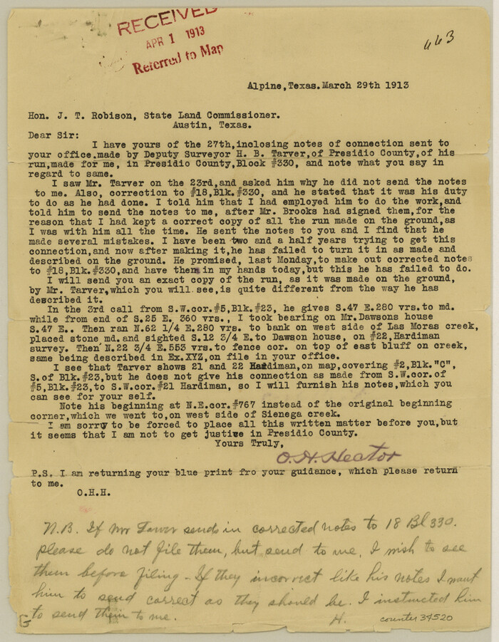
Presidio County Sketch File 43

Print $10.00
- Digital $50.00
Presidio County Sketch File 43
1913
Size 11.2 x 8.7 inches
Map/Doc 34520
Upton County Working Sketch 49B


Print $20.00
- Digital $50.00
Upton County Working Sketch 49B
1979
Size 19.0 x 32.0 inches
Map/Doc 69546
Texas Coast Country along the line of the Sunset Route


Texas Coast Country along the line of the Sunset Route
1907
Map/Doc 96713
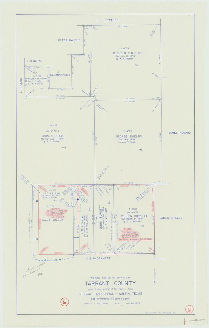
Tarrant County Working Sketch 6

Print $20.00
- Digital $50.00
Tarrant County Working Sketch 6
1979
Size 29.3 x 18.7 inches
Map/Doc 62423
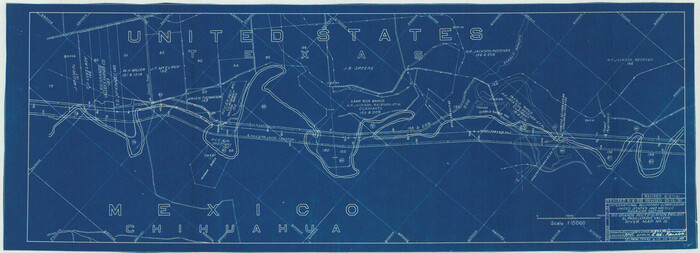
Rio Grande Rectification Project, El Paso and Juarez Valley

Print $20.00
- Digital $50.00
Rio Grande Rectification Project, El Paso and Juarez Valley
1935
Size 10.7 x 29.6 inches
Map/Doc 60865
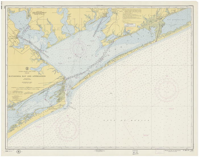
Matagorda Bay and Approaches

Print $20.00
- Digital $50.00
Matagorda Bay and Approaches
1957
Size 35.1 x 44.8 inches
Map/Doc 73381
Denton County Sketch File 35

Print $14.00
- Digital $50.00
Denton County Sketch File 35
1897
Size 9.5 x 8.8 inches
Map/Doc 20766
![91691, [Sketch highlighting Bob Reid and Fred Turner surveys], Twichell Survey Records](https://historictexasmaps.com/wmedia_w1800h1800/maps/91691-1.tif.jpg)
