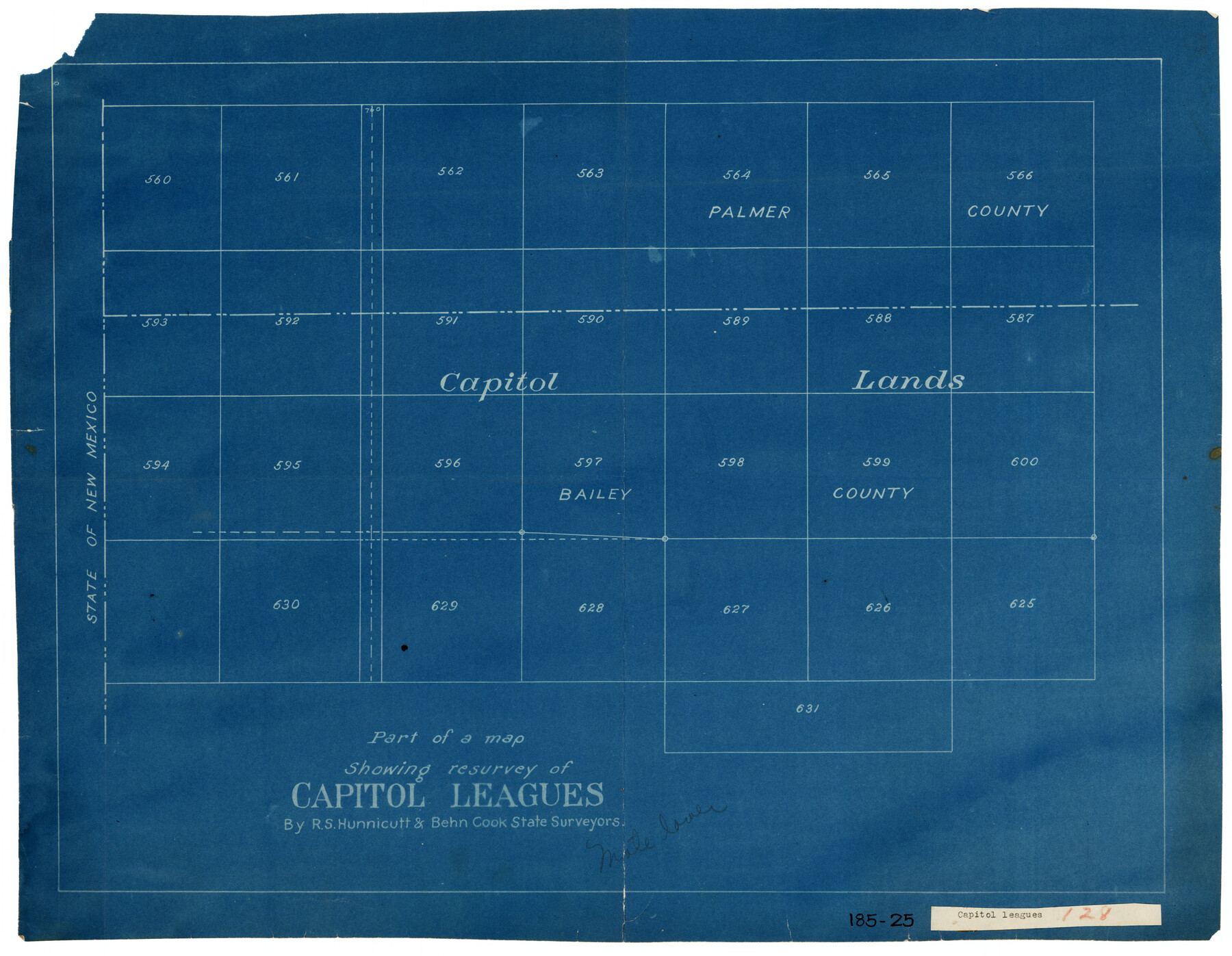
Part of a Map Showing Resurvey of Capitol Leagues
185-25
-
Map/Doc
91557
-
Collection
Twichell Survey Records
-
People and Organizations
Behn Cook (Surveyor/Engineer)
R.S. Hunnicutt (Surveyor/Engineer)
-
Counties
Parmer Bailey
-
Height x Width
21.7 x 17.0 inches
55.1 x 43.2 cm
Part of: Twichell Survey Records

[Portions of Hansford and Hutchinson Counties]
![91136, [Portions of Hansford and Hutchinson Counties], Twichell Survey Records](https://historictexasmaps.com/wmedia_w700/maps/91136-1.tif.jpg)
Print $3.00
- Digital $50.00
[Portions of Hansford and Hutchinson Counties]
Size 11.5 x 13.5 inches
Map/Doc 91136
[Area to the West and North of the Abraham Winfrey survey 11]
![92117, [Area to the West and North of the Abraham Winfrey survey 11], Twichell Survey Records](https://historictexasmaps.com/wmedia_w700/maps/92117-1.tif.jpg)
Print $20.00
- Digital $50.00
[Area to the West and North of the Abraham Winfrey survey 11]
Size 16.9 x 14.7 inches
Map/Doc 92117
[Rusk, Sutton, Garza, and Atascosa County School Lands]
![91125, [Rusk, Sutton, Garza, and Atascosa County School Lands], Twichell Survey Records](https://historictexasmaps.com/wmedia_w700/maps/91125-1.tif.jpg)
Print $3.00
- Digital $50.00
[Rusk, Sutton, Garza, and Atascosa County School Lands]
1913
Size 12.5 x 9.4 inches
Map/Doc 91125

General Highway Map Llano County Texas

Print $20.00
- Digital $50.00
General Highway Map Llano County Texas
1953
Size 17.1 x 12.5 inches
Map/Doc 92883
[Elwood Ranch Field Notes]
![91090, [Elwood Ranch Field Notes], Twichell Survey Records](https://historictexasmaps.com/wmedia_w700/maps/91090-1.tif.jpg)
Print $20.00
- Digital $50.00
[Elwood Ranch Field Notes]
Size 12.4 x 16.4 inches
Map/Doc 91090
Castro County, Texas

Print $20.00
- Digital $50.00
Castro County, Texas
Size 20.3 x 22.8 inches
Map/Doc 92613
W. S. Mabry Land Corners and Connections, Potter County

Print $20.00
- Digital $50.00
W. S. Mabry Land Corners and Connections, Potter County
Size 22.6 x 17.5 inches
Map/Doc 91806

[Sketch showing B. S. & F. Block 9 and vicinity]
![89785, [Sketch showing B. S. & F. Block 9 and vicinity], Twichell Survey Records](https://historictexasmaps.com/wmedia_w700/maps/89785-1.tif.jpg)
Print $40.00
- Digital $50.00
[Sketch showing B. S. & F. Block 9 and vicinity]
Size 37.8 x 49.0 inches
Map/Doc 89785
Dawson County

Print $20.00
- Digital $50.00
Dawson County
1892
Size 19.7 x 24.7 inches
Map/Doc 90626
You may also like
[Location, Chicago & Rock Island Railroad Through Tarrant County]
![64343, [Location, Chicago & Rock Island Railroad Through Tarrant County], General Map Collection](https://historictexasmaps.com/wmedia_w700/maps/64343.tif.jpg)
Print $40.00
- Digital $50.00
[Location, Chicago & Rock Island Railroad Through Tarrant County]
Size 25.9 x 115.5 inches
Map/Doc 64343
Schleicher County Working Sketch 27

Print $20.00
- Digital $50.00
Schleicher County Working Sketch 27
1974
Size 26.2 x 31.8 inches
Map/Doc 63829
Flight Mission No. DQN-2K, Frame 75, Calhoun County

Print $20.00
- Digital $50.00
Flight Mission No. DQN-2K, Frame 75, Calhoun County
1953
Size 18.7 x 22.3 inches
Map/Doc 84267
Controlled Mosaic by Jack Amman Photogrammetric Engineers, Inc - Sheet 25

Print $20.00
- Digital $50.00
Controlled Mosaic by Jack Amman Photogrammetric Engineers, Inc - Sheet 25
1954
Size 20.0 x 24.0 inches
Map/Doc 83476
General Highway Map, Wise County, Texas

Print $20.00
General Highway Map, Wise County, Texas
1940
Size 18.2 x 24.8 inches
Map/Doc 79284
[North part H. & T. C. Blk. 5 and PSL Blk. 64]
![90499, [North part H. & T. C. Blk. 5 and PSL Blk. 64], Twichell Survey Records](https://historictexasmaps.com/wmedia_w700/maps/90499-1.tif.jpg)
Print $20.00
- Digital $50.00
[North part H. & T. C. Blk. 5 and PSL Blk. 64]
Size 13.2 x 12.0 inches
Map/Doc 90499
Kaufman County

Print $20.00
- Digital $50.00
Kaufman County
1854
Size 30.8 x 24.2 inches
Map/Doc 78485
Township No. 5 South Range No. 9 West of the Indian Meridian

Print $20.00
- Digital $50.00
Township No. 5 South Range No. 9 West of the Indian Meridian
1874
Size 19.2 x 24.5 inches
Map/Doc 75135
Aransas County Working Sketch 8

Print $20.00
- Digital $50.00
Aransas County Working Sketch 8
1947
Size 24.7 x 24.2 inches
Map/Doc 67175
Flight Mission No. DCL-7C, Frame 29, Kenedy County

Print $20.00
- Digital $50.00
Flight Mission No. DCL-7C, Frame 29, Kenedy County
1943
Size 15.3 x 15.2 inches
Map/Doc 86021
Wilbarger County Rolled Sketch 10

Print $20.00
- Digital $50.00
Wilbarger County Rolled Sketch 10
1983
Size 37.6 x 23.8 inches
Map/Doc 8259
General Highway Map, Cherokee County, Texas

Print $20.00
General Highway Map, Cherokee County, Texas
1961
Size 18.2 x 24.7 inches
Map/Doc 79406