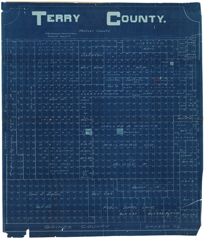
[Area to the West and North of the Abraham Winfrey survey 11]
30-1
-
Map/Doc
92117
-
Collection
Twichell Survey Records
-
People and Organizations
Morris Browning (Surveyor/Engineer)
-
Counties
Callahan
-
Height x Width
16.9 x 14.7 inches
42.9 x 37.3 cm
Part of: Twichell Survey Records
[Surveys along San Antonio Road]
![90110, [Surveys along San Antonio Road], Twichell Survey Records](https://historictexasmaps.com/wmedia_w700/maps/90110-1.tif.jpg)
![90110, [Surveys along San Antonio Road], Twichell Survey Records](https://historictexasmaps.com/wmedia_w700/maps/90110-1.tif.jpg)
Print $20.00
- Digital $50.00
[Surveys along San Antonio Road]
Size 23.0 x 13.7 inches
Map/Doc 90110
Ralls, Crosby County, Texas
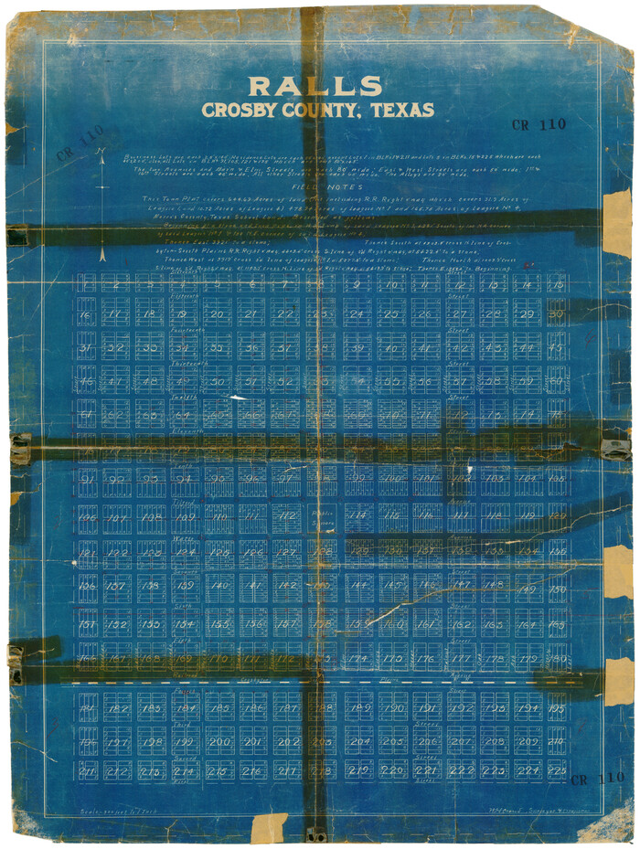

Print $20.00
- Digital $50.00
Ralls, Crosby County, Texas
Size 22.5 x 29.8 inches
Map/Doc 92601
Map of Adrian, the New Town in the Panhandle, Oldham County, Texas
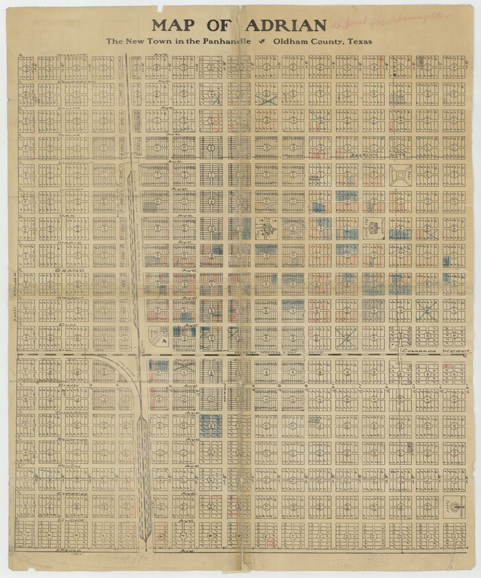

Print $20.00
- Digital $50.00
Map of Adrian, the New Town in the Panhandle, Oldham County, Texas
Size 21.5 x 25.8 inches
Map/Doc 92135
Sketch from Oldham County


Print $20.00
- Digital $50.00
Sketch from Oldham County
1901
Size 23.5 x 20.9 inches
Map/Doc 91404
[Worksheets related to the Wilson Strickland survey and vicinity]
![89714, [Vicinity and related to the Wilson Strickland Survey], Twichell Survey Records](https://historictexasmaps.com/wmedia_w700/maps/89714-1.tif.jpg)
![89714, [Vicinity and related to the Wilson Strickland Survey], Twichell Survey Records](https://historictexasmaps.com/wmedia_w700/maps/89714-1.tif.jpg)
Print $20.00
- Digital $50.00
[Worksheets related to the Wilson Strickland survey and vicinity]
Size 40.9 x 43.1 inches
Map/Doc 89714
[John Welch, W. F. Butter, and surrounding surveys]
![91011, [John Welch, W. F. Butter, and surrounding surveys], Twichell Survey Records](https://historictexasmaps.com/wmedia_w700/maps/91011-1.tif.jpg)
![91011, [John Welch, W. F. Butter, and surrounding surveys], Twichell Survey Records](https://historictexasmaps.com/wmedia_w700/maps/91011-1.tif.jpg)
Print $3.00
- Digital $50.00
[John Welch, W. F. Butter, and surrounding surveys]
Size 17.1 x 10.9 inches
Map/Doc 91011
Sylvan Sanders Survey Section 20, Block A
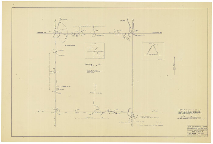

Print $20.00
- Digital $50.00
Sylvan Sanders Survey Section 20, Block A
1952
Size 37.0 x 25.1 inches
Map/Doc 92722
[Leagues 319-325]
![91360, [Leagues 319-325], Twichell Survey Records](https://historictexasmaps.com/wmedia_w700/maps/91360-1.tif.jpg)
![91360, [Leagues 319-325], Twichell Survey Records](https://historictexasmaps.com/wmedia_w700/maps/91360-1.tif.jpg)
Print $20.00
- Digital $50.00
[Leagues 319-325]
Size 37.3 x 22.9 inches
Map/Doc 91360
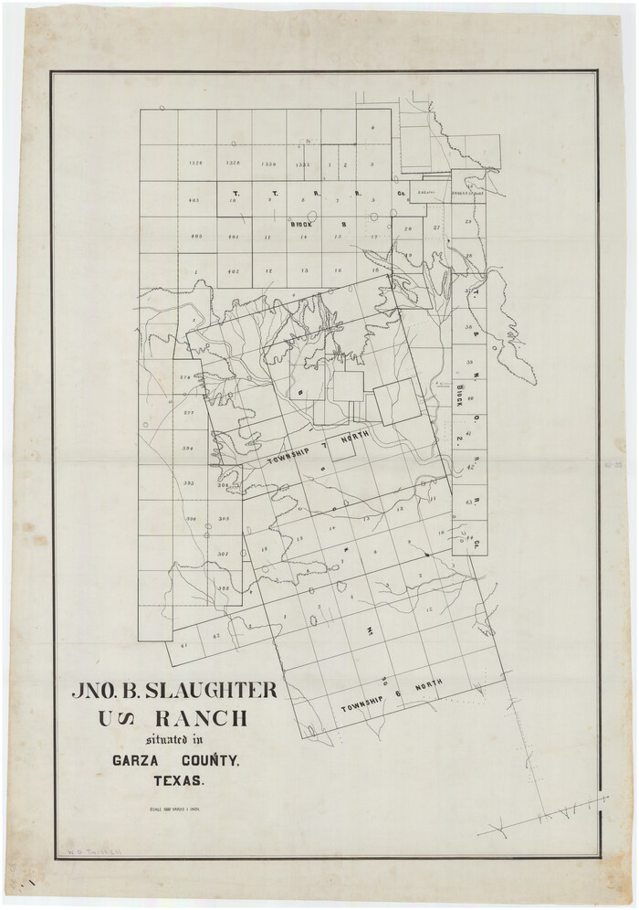
Jno. B. Slaughter US Ranch situated in Garza County, Texas

Print $40.00
- Digital $50.00
Jno. B. Slaughter US Ranch situated in Garza County, Texas
Size 34.6 x 49.2 inches
Map/Doc 89946
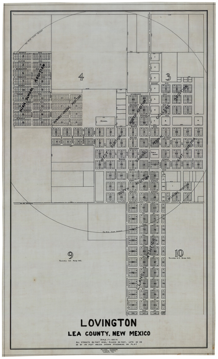
Lovington Lea County, New Mexico

Print $20.00
- Digital $50.00
Lovington Lea County, New Mexico
Size 19.3 x 31.6 inches
Map/Doc 92419
[Sketch in vicinity of Wm. McCutcheon, S. H. Reid and John McGinley]
![90115, [Sketch in vicinity of Wm. McCutcheon, S. H. Reid and John McGinley], Twichell Survey Records](https://historictexasmaps.com/wmedia_w700/maps/90115-1.tif.jpg)
![90115, [Sketch in vicinity of Wm. McCutcheon, S. H. Reid and John McGinley], Twichell Survey Records](https://historictexasmaps.com/wmedia_w700/maps/90115-1.tif.jpg)
Print $20.00
- Digital $50.00
[Sketch in vicinity of Wm. McCutcheon, S. H. Reid and John McGinley]
1923
Size 20.0 x 13.2 inches
Map/Doc 90115
You may also like
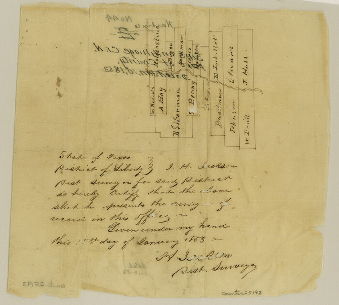
Hardin County Sketch File 44

Print $6.00
- Digital $50.00
Hardin County Sketch File 44
Size 6.7 x 7.4 inches
Map/Doc 25192
Flight Mission No. DQN-2K, Frame 191, Calhoun County


Print $20.00
- Digital $50.00
Flight Mission No. DQN-2K, Frame 191, Calhoun County
1953
Size 18.8 x 22.4 inches
Map/Doc 84332
Reagan County Working Sketch 36


Print $20.00
- Digital $50.00
Reagan County Working Sketch 36
1966
Size 29.6 x 20.6 inches
Map/Doc 71878
Stonewall County Sketch File 4


Print $20.00
- Digital $50.00
Stonewall County Sketch File 4
Size 18.2 x 25.7 inches
Map/Doc 12363
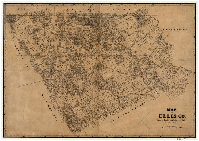
Map of Ellis County

Print $20.00
- Digital $50.00
Map of Ellis County
1871
Size 19.2 x 27.1 inches
Map/Doc 3509
Amistad International Reservoir on Rio Grande 102
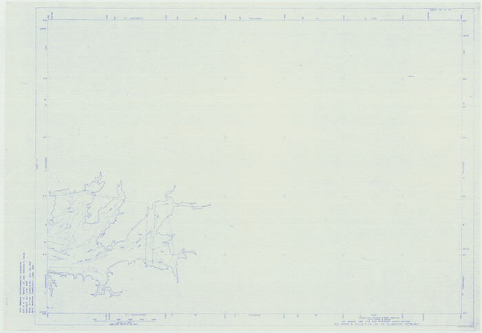

Print $20.00
- Digital $50.00
Amistad International Reservoir on Rio Grande 102
1950
Size 28.5 x 41.2 inches
Map/Doc 75533
Val Verde County Sketch File Z14
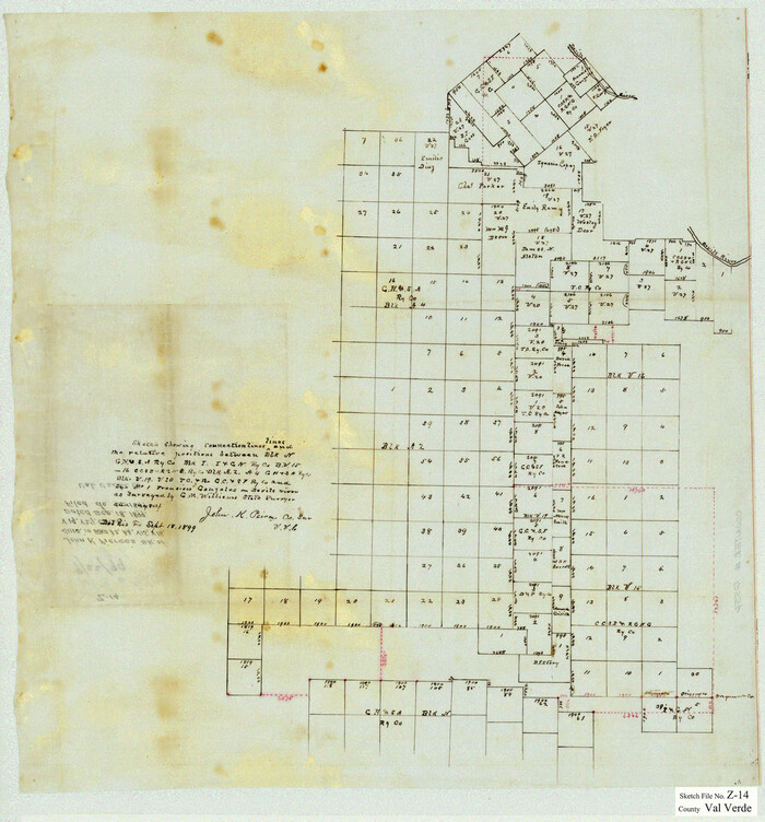

Print $20.00
- Digital $50.00
Val Verde County Sketch File Z14
1899
Size 22.1 x 20.6 inches
Map/Doc 12556
Goliad County Sketch File 36
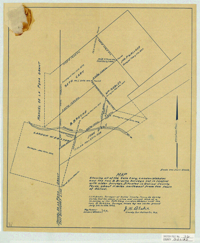

Print $20.00
- Digital $50.00
Goliad County Sketch File 36
1925
Size 17.1 x 14.1 inches
Map/Doc 11571
Bee County Sketch File 2a

Print $6.00
- Digital $50.00
Bee County Sketch File 2a
1847
Size 7.9 x 13.0 inches
Map/Doc 14356
Liberty County Sketch File 38
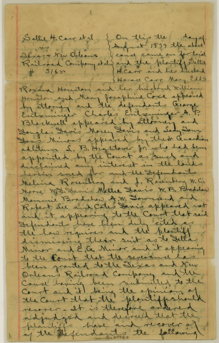

Print $22.00
- Digital $50.00
Liberty County Sketch File 38
1899
Size 13.9 x 8.9 inches
Map/Doc 29983
Flight Mission No. DIX-10P, Frame 171, Aransas County


Print $20.00
- Digital $50.00
Flight Mission No. DIX-10P, Frame 171, Aransas County
1956
Size 18.8 x 22.3 inches
Map/Doc 83961
![92117, [Area to the West and North of the Abraham Winfrey survey 11], Twichell Survey Records](https://historictexasmaps.com/wmedia_w1800h1800/maps/92117-1.tif.jpg)
