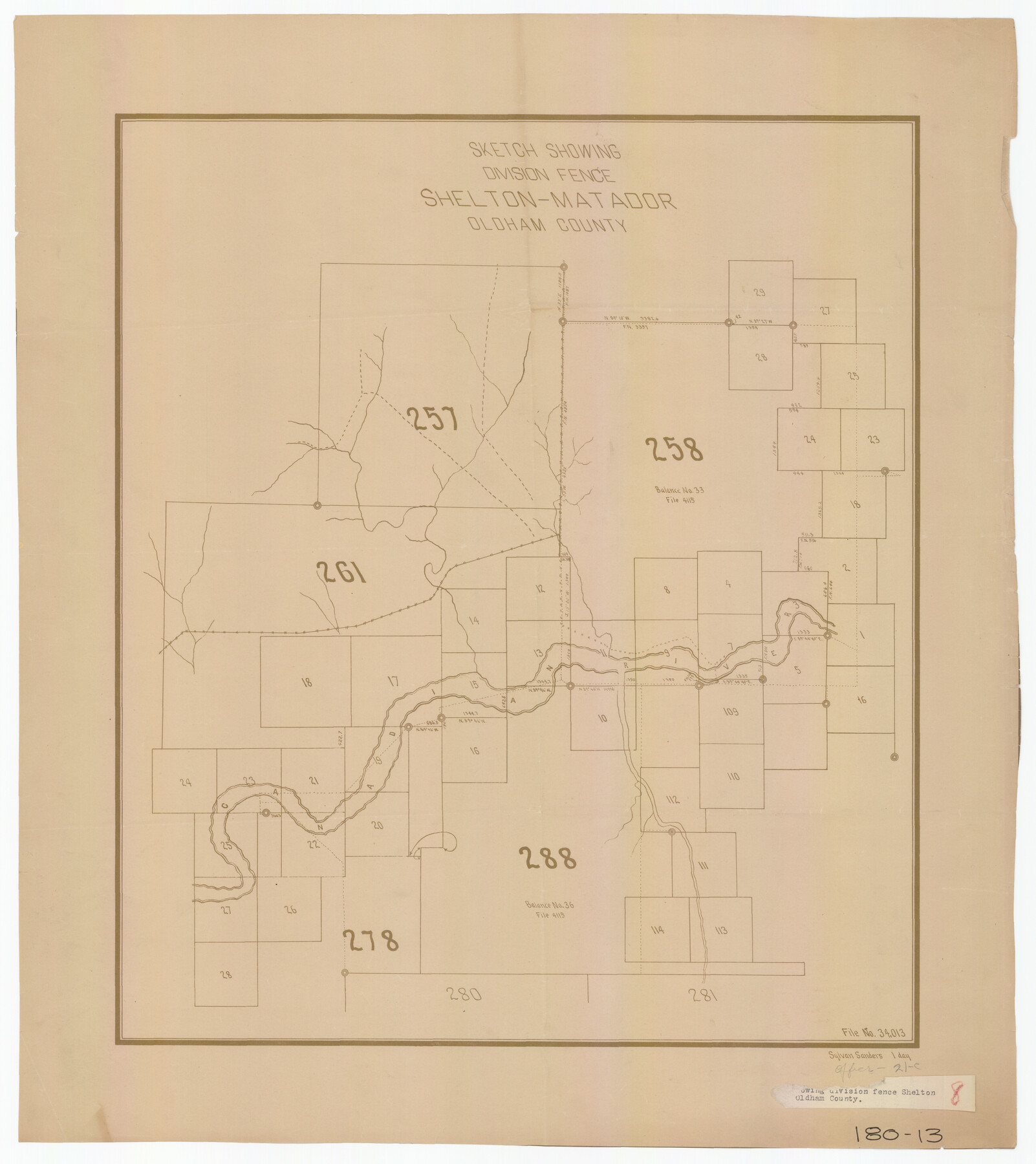
Sketch Showing Division Fence Shelton- Matador, Oldham County
180-13
-
Map/Doc
91484
-
Collection
Twichell Survey Records
-
Counties
Oldham
-
Height x Width
21.6 x 24.4 inches
54.9 x 62.0 cm
Part of: Twichell Survey Records
[Lgs. 180-183, 196-198, 105-112, 678-680, 699-701, 141-143]
![90160, [Lgs. 180-183, 196-198, 105-112, 678-680, 699-701, 141-143], Twichell Survey Records](https://historictexasmaps.com/wmedia_w700/maps/90160-1.tif.jpg)
Print $20.00
- Digital $50.00
[Lgs. 180-183, 196-198, 105-112, 678-680, 699-701, 141-143]
1913
Size 28.6 x 19.1 inches
Map/Doc 90160
Lubbock Cemetery

Print $40.00
- Digital $50.00
Lubbock Cemetery
Size 42.2 x 53.7 inches
Map/Doc 89912

[Blocks S1, O6, O, A1, A2, A3, A4, JK, JK2, JK4, and JD]
![90657, [Blocks S1, O6, O, A1, A2, A3, A4, JK, JK2, JK4, and JD], Twichell Survey Records](https://historictexasmaps.com/wmedia_w700/maps/90657-1.tif.jpg)
Print $20.00
- Digital $50.00
[Blocks S1, O6, O, A1, A2, A3, A4, JK, JK2, JK4, and JD]
Size 21.3 x 22.4 inches
Map/Doc 90657
[Blocks A-23, A-26, and A-31]
![92673, [Blocks A-23, A-26, and A-31], Twichell Survey Records](https://historictexasmaps.com/wmedia_w700/maps/92673-1.tif.jpg)
Print $20.00
- Digital $50.00
[Blocks A-23, A-26, and A-31]
1954
Size 18.1 x 9.0 inches
Map/Doc 92673
[Blocks 21, 22, 23, and 24]
![91110, [Blocks 21, 22, 23, and 24], Twichell Survey Records](https://historictexasmaps.com/wmedia_w700/maps/91110-1.tif.jpg)
Print $20.00
- Digital $50.00
[Blocks 21, 22, 23, and 24]
Size 14.0 x 12.8 inches
Map/Doc 91110
University of Texas System University Lands

Print $20.00
- Digital $50.00
University of Texas System University Lands
Size 17.9 x 23.3 inches
Map/Doc 93244
[Sketch in Crosby County]
![89759, [Sketch in Crosby County], Twichell Survey Records](https://historictexasmaps.com/wmedia_w700/maps/89759-1.tif.jpg)
Print $40.00
- Digital $50.00
[Sketch in Crosby County]
Size 54.6 x 46.5 inches
Map/Doc 89759
Section 16, Block "A", Sylvan Sanders Survey

Print $20.00
- Digital $50.00
Section 16, Block "A", Sylvan Sanders Survey
1953
Size 24.7 x 16.0 inches
Map/Doc 92715
![90260, [League 271], Twichell Survey Records](https://historictexasmaps.com/wmedia_w700/maps/90260-1.tif.jpg)
[Northwest Garza County around John Walker and Thomas Hughes surveys]
![90848, [Northwest Garza County around John Walker and Thomas Hughes surveys], Twichell Survey Records](https://historictexasmaps.com/wmedia_w700/maps/90848-2.tif.jpg)
Print $20.00
- Digital $50.00
[Northwest Garza County around John Walker and Thomas Hughes surveys]
1913
Size 27.5 x 14.3 inches
Map/Doc 90848
[PSL Blocks B8-B9, B13-B18 and B22]
![91963, [PSL Blocks B8-B9, B13-B18 and B22], Twichell Survey Records](https://historictexasmaps.com/wmedia_w700/maps/91963-1.tif.jpg)
Print $20.00
- Digital $50.00
[PSL Blocks B8-B9, B13-B18 and B22]
Size 19.8 x 27.2 inches
Map/Doc 91963
You may also like
Flight Mission No. DIX-10P, Frame 67, Aransas County

Print $20.00
- Digital $50.00
Flight Mission No. DIX-10P, Frame 67, Aransas County
1956
Size 18.7 x 22.3 inches
Map/Doc 83928
Cameron County Rolled Sketch Z1

Print $20.00
- Digital $50.00
Cameron County Rolled Sketch Z1
1937
Size 23.4 x 41.4 inches
Map/Doc 5401
J. De Cordova's Map of the State of Texas Compiled from the records of the General Land Office of the State

Print $20.00
- Digital $50.00
J. De Cordova's Map of the State of Texas Compiled from the records of the General Land Office of the State
1861
Size 36.9 x 34.9 inches
Map/Doc 93931
Outer Continental Shelf Leasing Maps (Texas Offshore Operations)

Print $20.00
- Digital $50.00
Outer Continental Shelf Leasing Maps (Texas Offshore Operations)
Size 21.0 x 15.2 inches
Map/Doc 75840
Flight Mission No. CRK-3P, Frame 176, Refugio County

Print $20.00
- Digital $50.00
Flight Mission No. CRK-3P, Frame 176, Refugio County
1956
Size 18.3 x 22.2 inches
Map/Doc 86923
Fort Bend County State Real Property Sketch 9

Print $40.00
- Digital $50.00
Fort Bend County State Real Property Sketch 9
1986
Size 34.7 x 43.2 inches
Map/Doc 61683
Pecos County Sketch File 106a

Print $4.00
- Digital $50.00
Pecos County Sketch File 106a
1968
Size 11.3 x 8.5 inches
Map/Doc 34033
Sutton County Boundary File 2a

Print $20.00
- Digital $50.00
Sutton County Boundary File 2a
Size 8.6 x 6.3 inches
Map/Doc 59014
Flight Mission No. CGI-4N, Frame 165, Cameron County

Print $20.00
- Digital $50.00
Flight Mission No. CGI-4N, Frame 165, Cameron County
1955
Size 18.4 x 22.3 inches
Map/Doc 84673
Winkler County Sketch File 10

Print $4.00
- Digital $50.00
Winkler County Sketch File 10
1910
Size 9.1 x 8.3 inches
Map/Doc 40486
Gregg County Rolled Sketch 16

Print $20.00
- Digital $50.00
Gregg County Rolled Sketch 16
1942
Size 29.0 x 36.7 inches
Map/Doc 6038
Lampasas County Sketch File 9c

Print $4.00
- Digital $50.00
Lampasas County Sketch File 9c
1873
Size 12.7 x 8.1 inches
Map/Doc 29414