[Lgs. 180-183, 196-198, 105-112, 678-680, 699-701, 141-143]
9-38
-
Map/Doc
90160
-
Collection
Twichell Survey Records
-
Object Dates
11/1913 (Creation Date)
-
Counties
Bailey Cochran Lamb Hockley
-
Height x Width
28.6 x 19.1 inches
72.6 x 48.5 cm
Part of: Twichell Survey Records
[Blocks T and B]
![92197, [Blocks T and B], Twichell Survey Records](https://historictexasmaps.com/wmedia_w700/maps/92197-1.tif.jpg)
![92197, [Blocks T and B], Twichell Survey Records](https://historictexasmaps.com/wmedia_w700/maps/92197-1.tif.jpg)
Print $20.00
- Digital $50.00
[Blocks T and B]
Size 16.2 x 19.7 inches
Map/Doc 92197
[League 27, Montgomery County School Land, William Tubbs Survey]
![91127, [League 27, Montgomery County School Land, William Tubbs Survey], Twichell Survey Records](https://historictexasmaps.com/wmedia_w700/maps/91127-1.tif.jpg)
![91127, [League 27, Montgomery County School Land, William Tubbs Survey], Twichell Survey Records](https://historictexasmaps.com/wmedia_w700/maps/91127-1.tif.jpg)
Print $2.00
- Digital $50.00
[League 27, Montgomery County School Land, William Tubbs Survey]
Size 11.7 x 8.9 inches
Map/Doc 91127
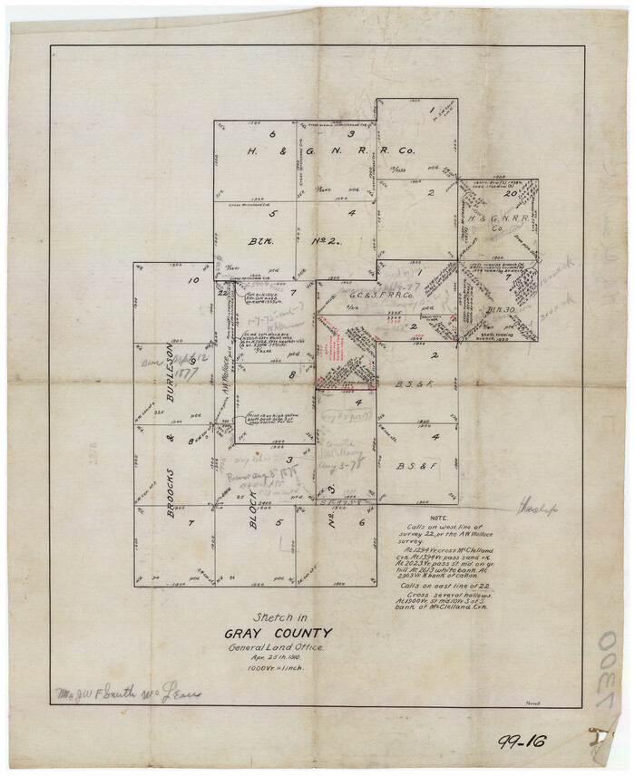
Sketch in Gray County

Print $20.00
- Digital $50.00
Sketch in Gray County
1910
Size 15.1 x 18.5 inches
Map/Doc 90741
Map Showing Corrections of Capitol Leagues in Conflict in Oldham Co.


Print $40.00
- Digital $50.00
Map Showing Corrections of Capitol Leagues in Conflict in Oldham Co.
1886
Size 52.5 x 31.3 inches
Map/Doc 89800
University of Texas System University Lands


Print $20.00
- Digital $50.00
University of Texas System University Lands
Size 23.0 x 17.5 inches
Map/Doc 93240
[Northeast 1/4 of County Map showing Durrell's Tie Line]
![91619, [Northeast 1/4 of County Map showing Durrell's Tie Line], Twichell Survey Records](https://historictexasmaps.com/wmedia_w700/maps/91619-1.tif.jpg)
![91619, [Northeast 1/4 of County Map showing Durrell's Tie Line], Twichell Survey Records](https://historictexasmaps.com/wmedia_w700/maps/91619-1.tif.jpg)
Print $20.00
- Digital $50.00
[Northeast 1/4 of County Map showing Durrell's Tie Line]
Size 24.1 x 18.7 inches
Map/Doc 91619
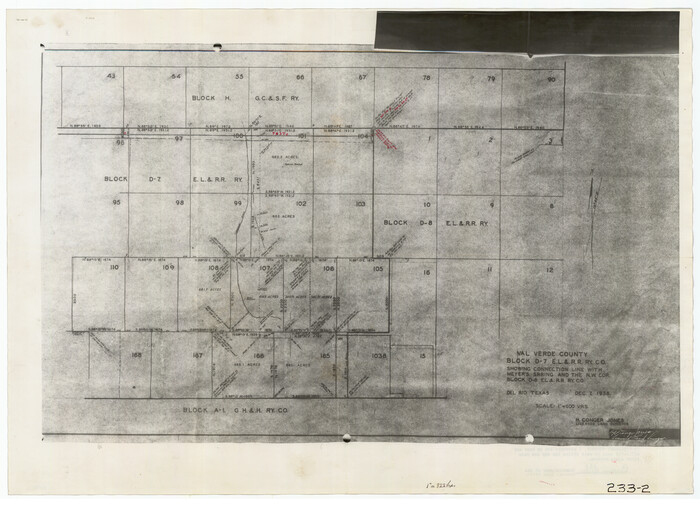
Val Verde County, Texas, Block D-7, E. L. & R. R. Ry. showing connecting line with Meyer's Spring and the N.W. corner Block D-8, E. L. & R. R. Ry. Co.

Print $20.00
- Digital $50.00
Val Verde County, Texas, Block D-7, E. L. & R. R. Ry. showing connecting line with Meyer's Spring and the N.W. corner Block D-8, E. L. & R. R. Ry. Co.
1938
Size 26.7 x 18.7 inches
Map/Doc 91949
[John H. Gibson Section 892 and Surrounding Surveys]
![92841, [John H. Gibson Section 892 and Surrounding Surveys], Twichell Survey Records](https://historictexasmaps.com/wmedia_w700/maps/92841-1.tif.jpg)
![92841, [John H. Gibson Section 892 and Surrounding Surveys], Twichell Survey Records](https://historictexasmaps.com/wmedia_w700/maps/92841-1.tif.jpg)
Print $3.00
- Digital $50.00
[John H. Gibson Section 892 and Surrounding Surveys]
Size 15.7 x 11.7 inches
Map/Doc 92841
[North line of Hansford, Ochiltree and Lipscomb Counties]
![93190, [North line of Hansford, Ochiltree and Lipscomb Counties], Twichell Survey Records](https://historictexasmaps.com/wmedia_w700/maps/93190-1.tif.jpg)
![93190, [North line of Hansford, Ochiltree and Lipscomb Counties], Twichell Survey Records](https://historictexasmaps.com/wmedia_w700/maps/93190-1.tif.jpg)
Print $40.00
- Digital $50.00
[North line of Hansford, Ochiltree and Lipscomb Counties]
Size 89.3 x 16.8 inches
Map/Doc 93190
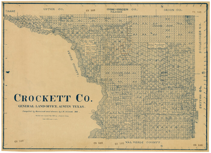
Crockett County

Print $20.00
- Digital $50.00
Crockett County
1920
Size 44.8 x 32.9 inches
Map/Doc 92548
[Surveys in the vicinity of Archer County School Land]
![90325, [Surveys in the vicinity of Archer County School Land], Twichell Survey Records](https://historictexasmaps.com/wmedia_w700/maps/90325-1.tif.jpg)
![90325, [Surveys in the vicinity of Archer County School Land], Twichell Survey Records](https://historictexasmaps.com/wmedia_w700/maps/90325-1.tif.jpg)
Print $20.00
- Digital $50.00
[Surveys in the vicinity of Archer County School Land]
Size 15.1 x 20.6 inches
Map/Doc 90325
[Part of Block K4]
![90526, [Part of Block K4], Twichell Survey Records](https://historictexasmaps.com/wmedia_w700/maps/90526-1.tif.jpg)
![90526, [Part of Block K4], Twichell Survey Records](https://historictexasmaps.com/wmedia_w700/maps/90526-1.tif.jpg)
Print $3.00
- Digital $50.00
[Part of Block K4]
Size 9.6 x 11.7 inches
Map/Doc 90526
You may also like
Dallas, Ft. Worth, & Vicinity, Texas - Regional Map
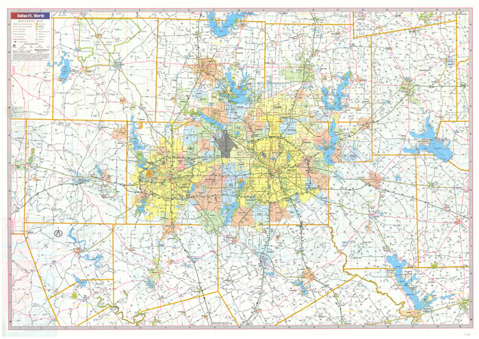

Dallas, Ft. Worth, & Vicinity, Texas - Regional Map
1997
Size 25.9 x 36.7 inches
Map/Doc 97288
Brazoria County Sketch File 7
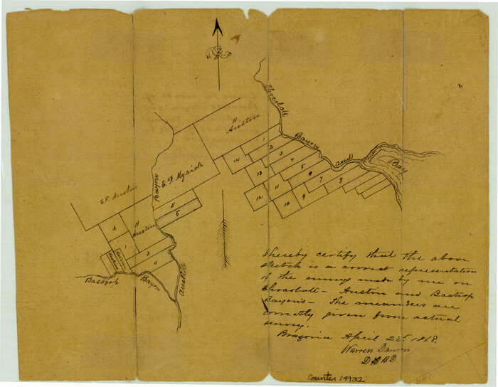

Print $4.00
- Digital $50.00
Brazoria County Sketch File 7
1868
Size 8.6 x 11.0 inches
Map/Doc 14932
Crockett County Sketch File 40
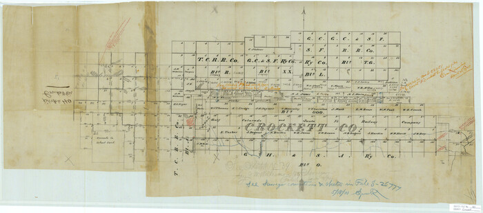

Print $20.00
- Digital $50.00
Crockett County Sketch File 40
Size 16.8 x 37.9 inches
Map/Doc 11222
Rio Grande, Laguna Atascosa Sheet
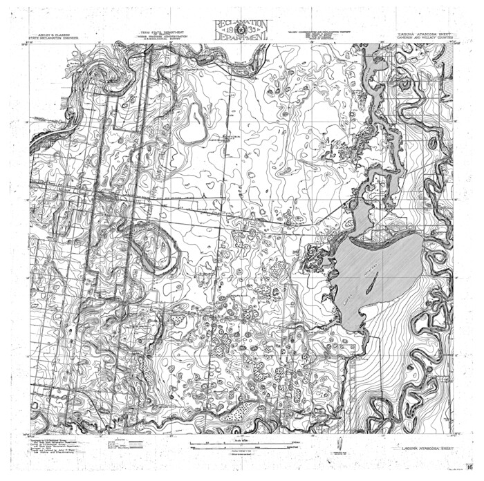

Print $20.00
- Digital $50.00
Rio Grande, Laguna Atascosa Sheet
1935
Size 37.4 x 37.6 inches
Map/Doc 65112
Wood County Working Sketch 12


Print $20.00
- Digital $50.00
Wood County Working Sketch 12
1964
Size 37.4 x 34.5 inches
Map/Doc 62012
Land Titles Issued in Stephen F. Austin's Colony
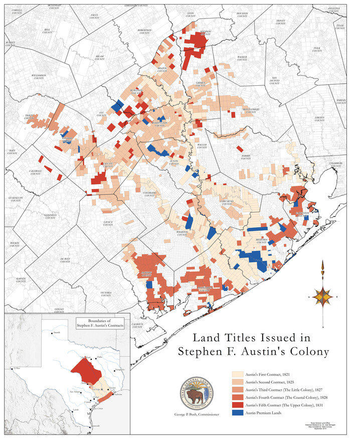

Print $20.00
Land Titles Issued in Stephen F. Austin's Colony
2015
Size 30.0 x 24.0 inches
Map/Doc 93754
History of Texas from its First Settlement in 1685 to its Annexation to the United States in 1846 (Vol. 1)


History of Texas from its First Settlement in 1685 to its Annexation to the United States in 1846 (Vol. 1)
1856
Map/Doc 97390
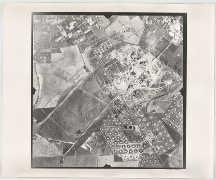
Flight Mission No. BRA-7M, Frame 183, Jefferson County

Print $20.00
- Digital $50.00
Flight Mission No. BRA-7M, Frame 183, Jefferson County
1953
Size 18.6 x 22.3 inches
Map/Doc 85551
Brewster County Rolled Sketch 148B


Print $20.00
- Digital $50.00
Brewster County Rolled Sketch 148B
1994
Size 28.0 x 36.3 inches
Map/Doc 5315
Scurry County Boundary File 1


Print $74.00
- Digital $50.00
Scurry County Boundary File 1
Size 9.2 x 3.8 inches
Map/Doc 58597
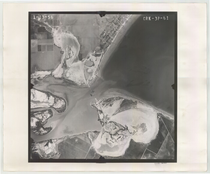
Flight Mission No. CRK-3P, Frame 61, Refugio County

Print $20.00
- Digital $50.00
Flight Mission No. CRK-3P, Frame 61, Refugio County
1956
Size 18.7 x 22.5 inches
Map/Doc 86903
Comal County Working Sketch 12


Print $20.00
- Digital $50.00
Comal County Working Sketch 12
1987
Size 31.1 x 29.6 inches
Map/Doc 68178
![90160, [Lgs. 180-183, 196-198, 105-112, 678-680, 699-701, 141-143], Twichell Survey Records](https://historictexasmaps.com/wmedia_w1800h1800/maps/90160-1.tif.jpg)