[Leagues 302- 308, 315- 318, Portions of Blocks S and M19, on Oldham-Potter County Line]
180-68
-
Map/Doc
91481
-
Collection
Twichell Survey Records
-
Counties
Oldham
-
Height x Width
22.4 x 15.7 inches
56.9 x 39.9 cm
Part of: Twichell Survey Records
[Northwest part of County]
![90616, [Northwest part of County], Twichell Survey Records](https://historictexasmaps.com/wmedia_w700/maps/90616-1.tif.jpg)
![90616, [Northwest part of County], Twichell Survey Records](https://historictexasmaps.com/wmedia_w700/maps/90616-1.tif.jpg)
Print $20.00
- Digital $50.00
[Northwest part of County]
Size 17.4 x 22.5 inches
Map/Doc 90616
Sketch Showing Section 3, Block JW, Subdivided to Show Quantity East of Texas Sections


Print $40.00
- Digital $50.00
Sketch Showing Section 3, Block JW, Subdivided to Show Quantity East of Texas Sections
Size 5.8 x 49.9 inches
Map/Doc 91303
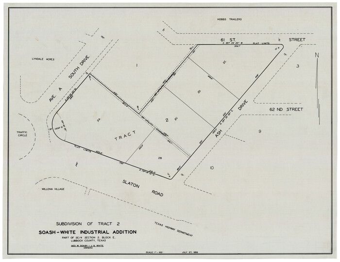
Subdivision of Tract 2, Soash-White Industrial Addition, Part of Southeast Quarter, Section 2, Block E (Geo. W. Soash - J. B. White, Owners)

Print $20.00
- Digital $50.00
Subdivision of Tract 2, Soash-White Industrial Addition, Part of Southeast Quarter, Section 2, Block E (Geo. W. Soash - J. B. White, Owners)
1956
Size 22.8 x 17.6 inches
Map/Doc 92775
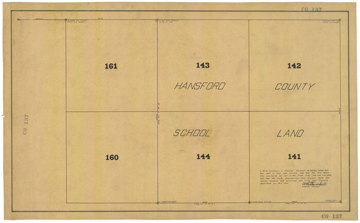
Hansford County School Land

Print $20.00
- Digital $50.00
Hansford County School Land
1892
Size 33.3 x 20.7 inches
Map/Doc 92512
[Blocks M8, M9, M11, W1, RC and A. & B. Block A]
![91931, [Blocks M8, M9, M11, W1, RC and A. & B. Block A], Twichell Survey Records](https://historictexasmaps.com/wmedia_w700/maps/91931-1.tif.jpg)
![91931, [Blocks M8, M9, M11, W1, RC and A. & B. Block A], Twichell Survey Records](https://historictexasmaps.com/wmedia_w700/maps/91931-1.tif.jpg)
Print $20.00
- Digital $50.00
[Blocks M8, M9, M11, W1, RC and A. & B. Block A]
Size 32.0 x 25.2 inches
Map/Doc 91931
[Portion of R. M. Thompson Blocks 1 and 2]
![91122, [Portion of R. M. Thompson Blocks 1 and 2], Twichell Survey Records](https://historictexasmaps.com/wmedia_w700/maps/91122-1.tif.jpg)
![91122, [Portion of R. M. Thompson Blocks 1 and 2], Twichell Survey Records](https://historictexasmaps.com/wmedia_w700/maps/91122-1.tif.jpg)
Print $3.00
- Digital $50.00
[Portion of R. M. Thompson Blocks 1 and 2]
Size 9.5 x 11.7 inches
Map/Doc 91122
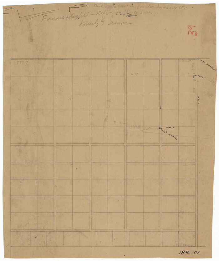
Famous Heights Addn. Amarillo, Texas

Print $2.00
- Digital $50.00
Famous Heights Addn. Amarillo, Texas
Size 8.3 x 9.8 inches
Map/Doc 91700
Working Sketch in Archer, Clay & Wichita Co's.


Print $40.00
- Digital $50.00
Working Sketch in Archer, Clay & Wichita Co's.
Size 68.5 x 43.5 inches
Map/Doc 89719
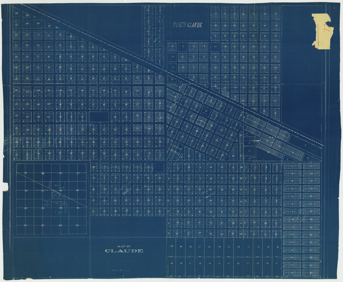
Map of Claude - Claude, Armstrong Co.

Print $20.00
- Digital $50.00
Map of Claude - Claude, Armstrong Co.
Size 46.9 x 38.5 inches
Map/Doc 89743
[Texas and Pacific Blocks 56-62, Townships 1-3]
![90501, [Texas and Pacific Blocks 56-62, Townships 1-3], Twichell Survey Records](https://historictexasmaps.com/wmedia_w700/maps/90501-1.tif.jpg)
![90501, [Texas and Pacific Blocks 56-62, Townships 1-3], Twichell Survey Records](https://historictexasmaps.com/wmedia_w700/maps/90501-1.tif.jpg)
Print $20.00
- Digital $50.00
[Texas and Pacific Blocks 56-62, Townships 1-3]
1885
Size 28.4 x 15.9 inches
Map/Doc 90501
[J. E. and J. W. Rhea's Ranch situated in Parmer Co., Texas]
![91652, [J. E. and J. W. Rhea's Ranch situated in Parmer Co., Texas], Twichell Survey Records](https://historictexasmaps.com/wmedia_w700/maps/91652-1.tif.jpg)
![91652, [J. E. and J. W. Rhea's Ranch situated in Parmer Co., Texas], Twichell Survey Records](https://historictexasmaps.com/wmedia_w700/maps/91652-1.tif.jpg)
Print $20.00
- Digital $50.00
[J. E. and J. W. Rhea's Ranch situated in Parmer Co., Texas]
Size 23.2 x 25.8 inches
Map/Doc 91652
[Mrs. May Vinson Survey]
![91959, [Mrs. May Vinson Survey], Twichell Survey Records](https://historictexasmaps.com/wmedia_w700/maps/91959-1.tif.jpg)
![91959, [Mrs. May Vinson Survey], Twichell Survey Records](https://historictexasmaps.com/wmedia_w700/maps/91959-1.tif.jpg)
Print $40.00
- Digital $50.00
[Mrs. May Vinson Survey]
Size 48.4 x 21.9 inches
Map/Doc 91959
You may also like
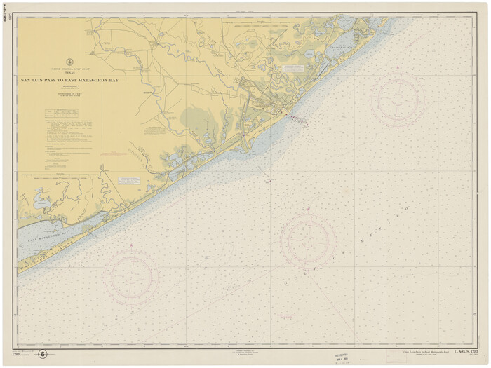
San Luis Pass to East Matagorda Bay

Print $20.00
- Digital $50.00
San Luis Pass to East Matagorda Bay
1957
Size 34.9 x 46.9 inches
Map/Doc 69962
Sketch from Dawson, Martin and Gaines Co's. (a part of Andrews Co. added)


Print $40.00
- Digital $50.00
Sketch from Dawson, Martin and Gaines Co's. (a part of Andrews Co. added)
1900
Size 45.0 x 50.6 inches
Map/Doc 89781
[Sketch of part of G. & M. Block 5]
![93061, [Sketch of part of G. & M. Block 5], Twichell Survey Records](https://historictexasmaps.com/wmedia_w700/maps/93061-1.tif.jpg)
![93061, [Sketch of part of G. & M. Block 5], Twichell Survey Records](https://historictexasmaps.com/wmedia_w700/maps/93061-1.tif.jpg)
Print $20.00
- Digital $50.00
[Sketch of part of G. & M. Block 5]
Size 18.2 x 8.9 inches
Map/Doc 93061
Proceedings of The International (Water) Boundary Commission United States and Mexico Treaties of 1884 and 1889, Volume 1


Proceedings of The International (Water) Boundary Commission United States and Mexico Treaties of 1884 and 1889, Volume 1
Map/Doc 83146
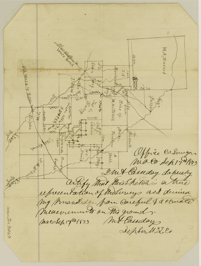
McLennan County Sketch File 13

Print $4.00
- Digital $50.00
McLennan County Sketch File 13
1873
Size 10.7 x 8.1 inches
Map/Doc 31267
Crockett County Sketch File 75


Print $20.00
- Digital $50.00
Crockett County Sketch File 75
Size 26.3 x 28.8 inches
Map/Doc 11234
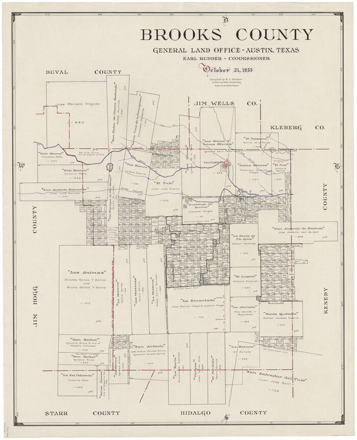
Brooks County

Print $20.00
- Digital $50.00
Brooks County
1955
Size 42.0 x 34.2 inches
Map/Doc 73091
Map of Defunct and Ghost Counties in Texas


Print $20.00
- Digital $50.00
Map of Defunct and Ghost Counties in Texas
1939
Size 35.0 x 35.9 inches
Map/Doc 2148
The Texas and Pacific Ry. Co., Station Map, Loraine, Texas


Print $20.00
- Digital $50.00
The Texas and Pacific Ry. Co., Station Map, Loraine, Texas
Size 11.6 x 18.6 inches
Map/Doc 64683
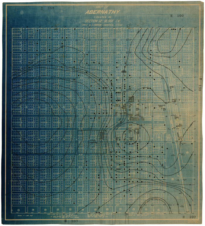
Map of Abernathy Located on Section 12, Block CK, Hale and Lubbock Counties, Texas

Print $20.00
- Digital $50.00
Map of Abernathy Located on Section 12, Block CK, Hale and Lubbock Counties, Texas
Size 29.9 x 33.0 inches
Map/Doc 92666
Flight Mission No. DCL-7C, Frame 10, Kenedy County
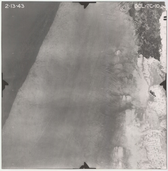

Print $20.00
- Digital $50.00
Flight Mission No. DCL-7C, Frame 10, Kenedy County
1943
Size 15.3 x 15.2 inches
Map/Doc 86002
Hidalgo County
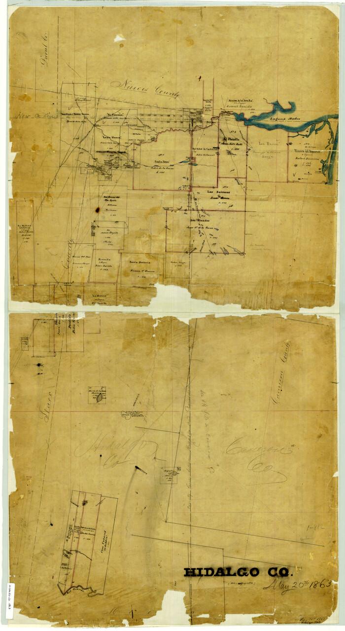

Print $20.00
- Digital $50.00
Hidalgo County
1863
Size 46.0 x 25.2 inches
Map/Doc 3668
![91481, [Leagues 302- 308, 315- 318, Portions of Blocks S and M19, on Oldham-Potter County Line], Twichell Survey Records](https://historictexasmaps.com/wmedia_w1800h1800/maps/91481-1.tif.jpg)