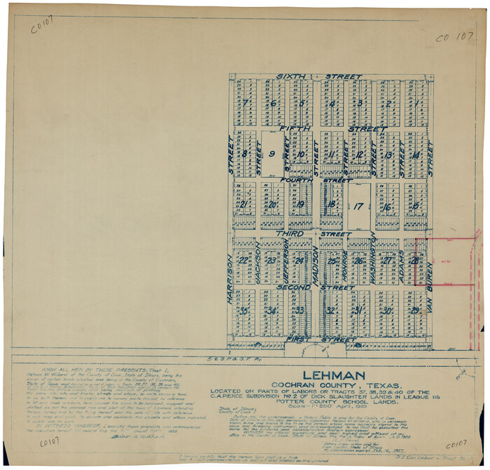
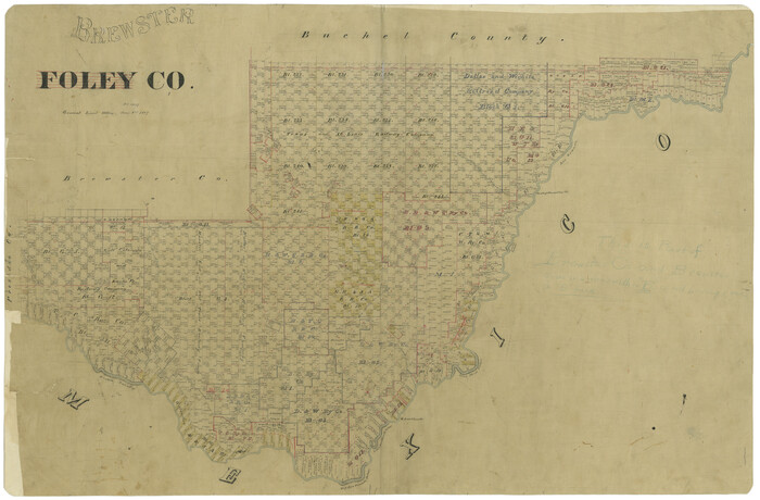
[J. E. and J. W. Rhea's Ranch situated in Parmer Co., Texas]
185-12
-
Map/Doc
91652
-
Collection
Twichell Survey Records
-
Counties
Parmer
-
Height x Width
23.2 x 25.8 inches
58.9 x 65.5 cm
Part of: Twichell Survey Records
[Rease Price and Surrounding Surveys]
![91228, [Rease Price and Surrounding Surveys], Twichell Survey Records](https://historictexasmaps.com/wmedia_w700/maps/91228-1.tif.jpg)
![91228, [Rease Price and Surrounding Surveys], Twichell Survey Records](https://historictexasmaps.com/wmedia_w700/maps/91228-1.tif.jpg)
Print $20.00
- Digital $50.00
[Rease Price and Surrounding Surveys]
1924
Size 18.7 x 12.7 inches
Map/Doc 91228
J. C. Landon's Subdivision of Sherman County School Land situated in Cochran Co., Texas
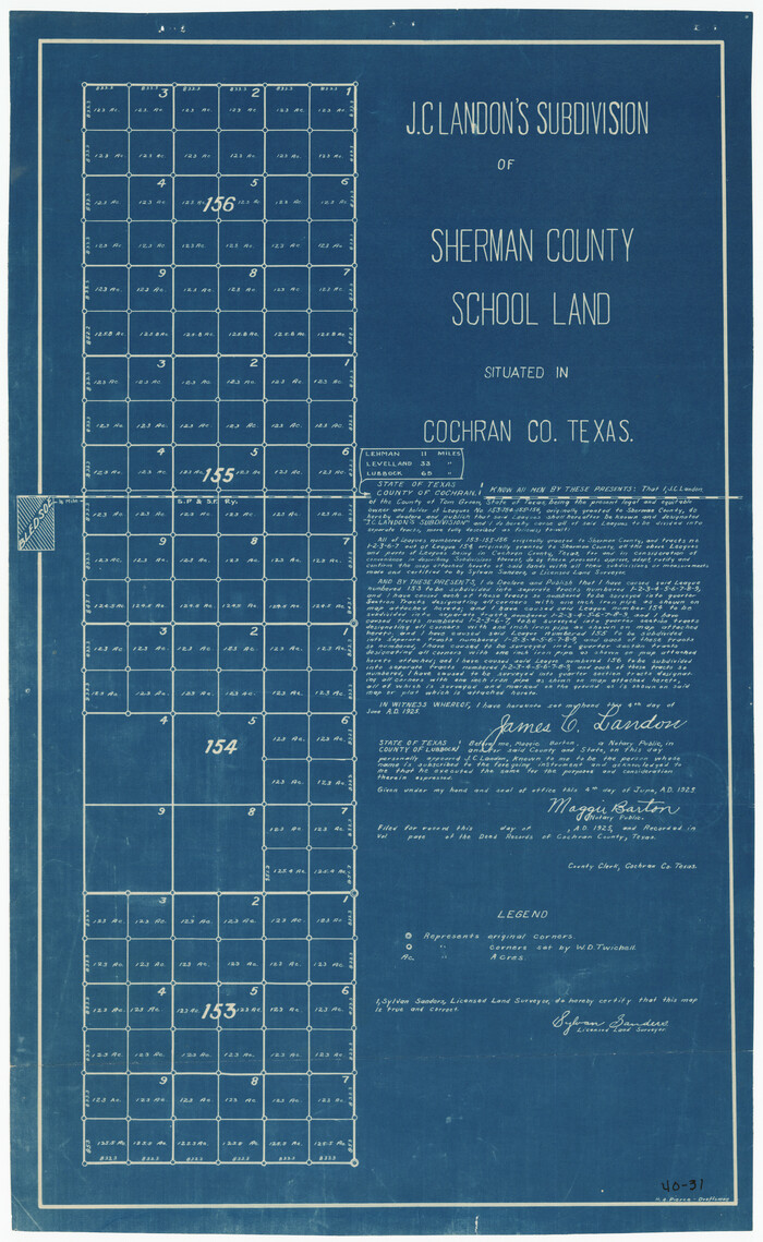

Print $20.00
- Digital $50.00
J. C. Landon's Subdivision of Sherman County School Land situated in Cochran Co., Texas
1925
Size 14.1 x 22.9 inches
Map/Doc 90291
[Block 1, Section 31]
![92171, [Block 1, Section 31], Twichell Survey Records](https://historictexasmaps.com/wmedia_w700/maps/92171-1.tif.jpg)
![92171, [Block 1, Section 31], Twichell Survey Records](https://historictexasmaps.com/wmedia_w700/maps/92171-1.tif.jpg)
Print $20.00
- Digital $50.00
[Block 1, Section 31]
1946
Size 24.3 x 19.7 inches
Map/Doc 92171
City of Andrews


Print $20.00
- Digital $50.00
City of Andrews
1951
Size 25.1 x 24.2 inches
Map/Doc 92454
The California Case
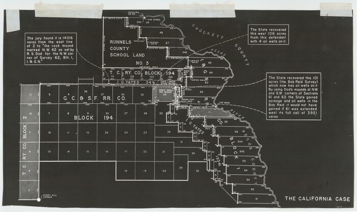

Print $3.00
- Digital $50.00
The California Case
Size 15.8 x 9.5 inches
Map/Doc 91695
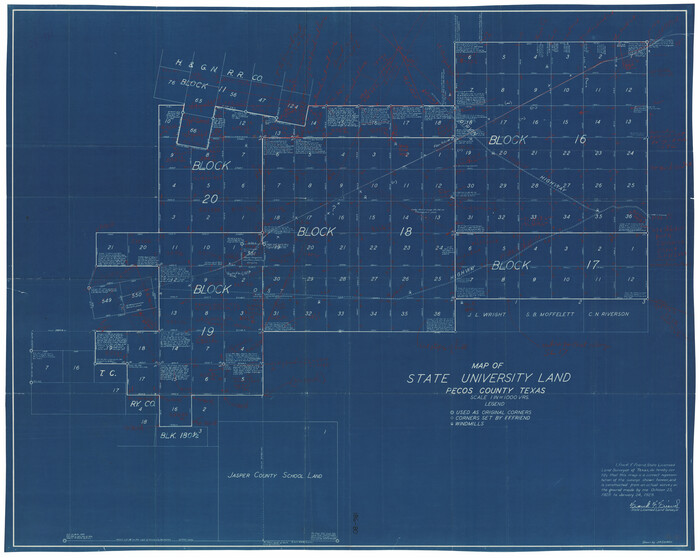
Map of State University Land, Pecos County, Texas

Print $20.00
- Digital $50.00
Map of State University Land, Pecos County, Texas
1929
Size 28.4 x 22.7 inches
Map/Doc 91631
[Part of Block GG and river sections 68 1/2 -73]
![90471, [Part of Block GG and river sections 68 1/2 -73], Twichell Survey Records](https://historictexasmaps.com/wmedia_w700/maps/90471-1.tif.jpg)
![90471, [Part of Block GG and river sections 68 1/2 -73], Twichell Survey Records](https://historictexasmaps.com/wmedia_w700/maps/90471-1.tif.jpg)
Print $20.00
- Digital $50.00
[Part of Block GG and river sections 68 1/2 -73]
Size 28.0 x 19.2 inches
Map/Doc 90471
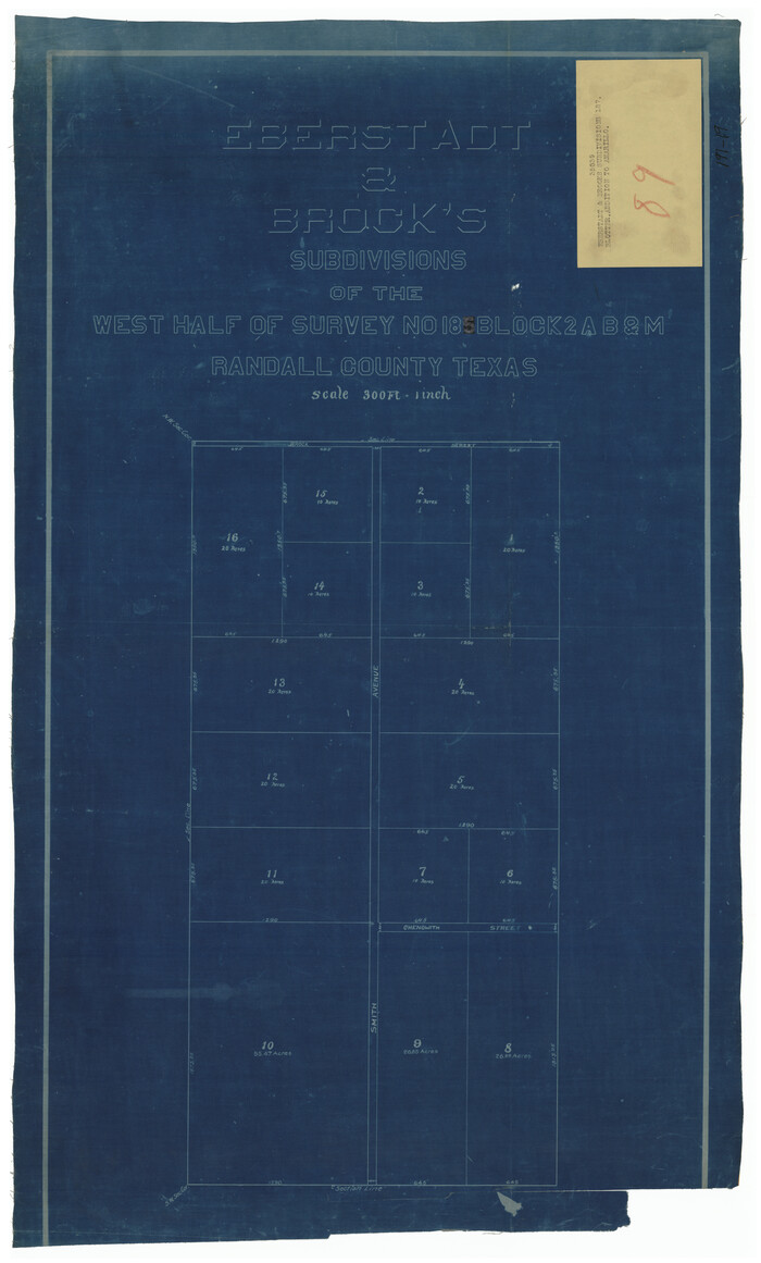
Eberstadt and Brock's Subdivisions of the West Half of Survey 187 Block 2 A. B. & M., Randall County Texas

Print $20.00
- Digital $50.00
Eberstadt and Brock's Subdivisions of the West Half of Survey 187 Block 2 A. B. & M., Randall County Texas
Size 17.7 x 29.6 inches
Map/Doc 91748
[Pencil sketch of Wm. Rivers survey]
![91968, [Pencil sketch of Wm. Rivers survey], Twichell Survey Records](https://historictexasmaps.com/wmedia_w700/maps/91968-1.tif.jpg)
![91968, [Pencil sketch of Wm. Rivers survey], Twichell Survey Records](https://historictexasmaps.com/wmedia_w700/maps/91968-1.tif.jpg)
Print $3.00
- Digital $50.00
[Pencil sketch of Wm. Rivers survey]
Size 10.1 x 16.5 inches
Map/Doc 91968
Central Plains 'Holiness' College Grounds


Print $20.00
- Digital $50.00
Central Plains 'Holiness' College Grounds
1906
Size 17.2 x 30.8 inches
Map/Doc 92124
You may also like
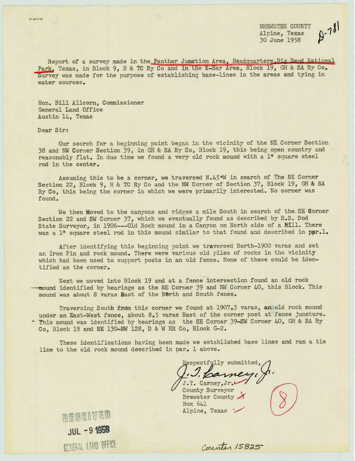
Brewster County Sketch File 23

Print $12.00
- Digital $50.00
Brewster County Sketch File 23
1958
Size 11.3 x 8.7 inches
Map/Doc 15825
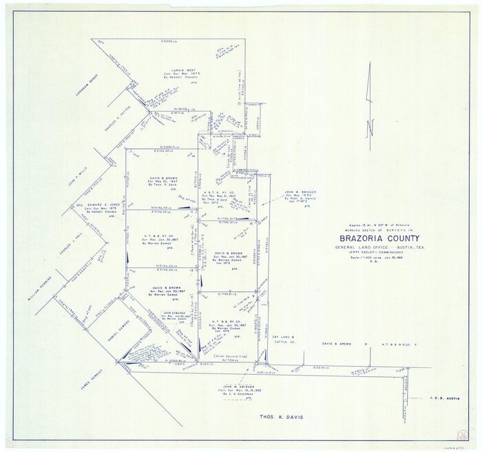
Brazoria County Working Sketch 26

Print $20.00
- Digital $50.00
Brazoria County Working Sketch 26
1968
Size 33.2 x 35.4 inches
Map/Doc 67511
Coleman County Working Sketch 17
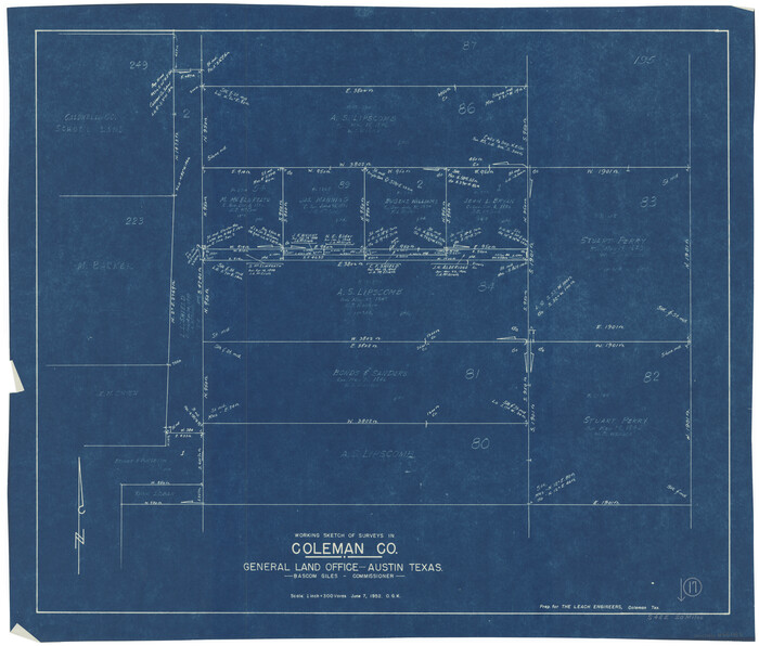

Print $20.00
- Digital $50.00
Coleman County Working Sketch 17
1952
Size 24.8 x 29.2 inches
Map/Doc 68083
Duval County Rolled Sketch 38
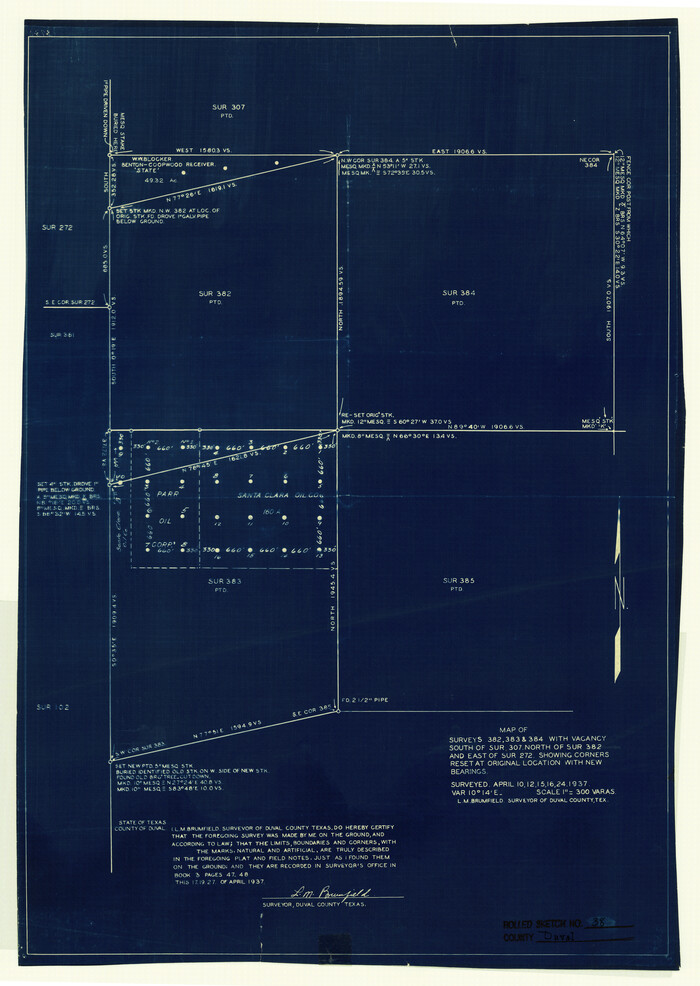

Print $20.00
- Digital $50.00
Duval County Rolled Sketch 38
1937
Size 22.6 x 16.1 inches
Map/Doc 5755
[Map of Hardin County]
![3630, [Map of Hardin County], General Map Collection](https://historictexasmaps.com/wmedia_w700/maps/3630-2.tif.jpg)
![3630, [Map of Hardin County], General Map Collection](https://historictexasmaps.com/wmedia_w700/maps/3630-2.tif.jpg)
Print $20.00
- Digital $50.00
[Map of Hardin County]
1862
Size 18.0 x 22.0 inches
Map/Doc 3630
Dimmit County Sketch File 22a

Print $2.00
- Digital $50.00
Dimmit County Sketch File 22a
Size 10.0 x 8.6 inches
Map/Doc 21132
Midland County Sketch File 7


Print $20.00
- Digital $50.00
Midland County Sketch File 7
1930
Size 33.1 x 23.7 inches
Map/Doc 12083
Bosque County Boundary File 1
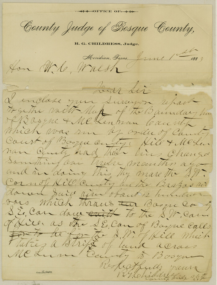

Print $34.00
- Digital $50.00
Bosque County Boundary File 1
Size 10.7 x 8.2 inches
Map/Doc 50672
Cherokee County Working Sketch 11
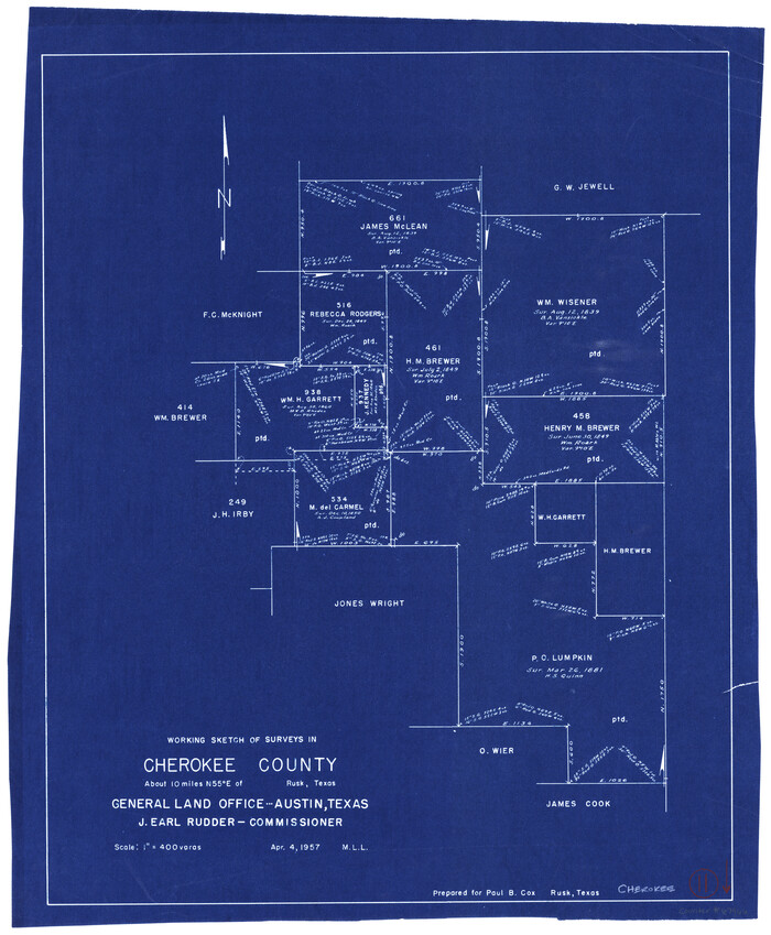

Print $20.00
- Digital $50.00
Cherokee County Working Sketch 11
1957
Size 24.3 x 20.2 inches
Map/Doc 67966
Chart of soundings through the different channels in Aransas and Matagorda Bays as taken in 1855 by Capt. R. B. Marey, U. S. A. [Inset: Harbour of Lamar and Live-Oak Pt.]
![72977, Chart of soundings through the different channels in Aransas and Matagorda Bays as taken in 1855 by Capt. R. B. Marey, U. S. A. [Inset: Harbour of Lamar and Live-Oak Pt.], General Map Collection](https://historictexasmaps.com/wmedia_w700/maps/72977.tif.jpg)
![72977, Chart of soundings through the different channels in Aransas and Matagorda Bays as taken in 1855 by Capt. R. B. Marey, U. S. A. [Inset: Harbour of Lamar and Live-Oak Pt.], General Map Collection](https://historictexasmaps.com/wmedia_w700/maps/72977.tif.jpg)
Print $20.00
- Digital $50.00
Chart of soundings through the different channels in Aransas and Matagorda Bays as taken in 1855 by Capt. R. B. Marey, U. S. A. [Inset: Harbour of Lamar and Live-Oak Pt.]
Size 28.1 x 18.2 inches
Map/Doc 72977
![91652, [J. E. and J. W. Rhea's Ranch situated in Parmer Co., Texas], Twichell Survey Records](https://historictexasmaps.com/wmedia_w1800h1800/maps/91652-1.tif.jpg)
