[Meander of Yellow House Creek from Northeast Corner of Section 37, Block S to Northeast corner of Section 3, Block O]
152-33
-
Map/Doc
91387
-
Collection
Twichell Survey Records
-
Counties
Lubbock
-
Height x Width
24.8 x 32.7 inches
63.0 x 83.1 cm
Part of: Twichell Survey Records
[H. & G. N. RR. Co. Block 1]
![90892, [H. & G. N. RR. Co. Block 1], Twichell Survey Records](https://historictexasmaps.com/wmedia_w700/maps/90892-1.tif.jpg)
![90892, [H. & G. N. RR. Co. Block 1], Twichell Survey Records](https://historictexasmaps.com/wmedia_w700/maps/90892-1.tif.jpg)
Print $20.00
- Digital $50.00
[H. & G. N. RR. Co. Block 1]
1902
Size 14.9 x 15.8 inches
Map/Doc 90892
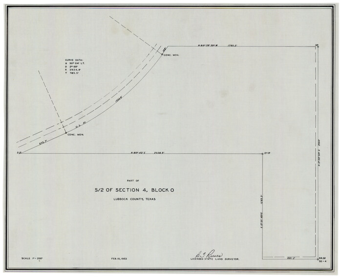
Part of South Half of Section 4, Block O

Print $20.00
- Digital $50.00
Part of South Half of Section 4, Block O
1953
Size 21.1 x 17.2 inches
Map/Doc 92780
[Map Showing Distances from Marshall]
![89908, [Map Showing Distances from Marshall], Twichell Survey Records](https://historictexasmaps.com/wmedia_w700/maps/89908-1.tif.jpg)
![89908, [Map Showing Distances from Marshall], Twichell Survey Records](https://historictexasmaps.com/wmedia_w700/maps/89908-1.tif.jpg)
Print $40.00
- Digital $50.00
[Map Showing Distances from Marshall]
Size 45.0 x 51.4 inches
Map/Doc 89908
[Sketch showing San Augustine, Morris, Stephens and Eastland School Land Leagues and adjacent Blocks]
![89918, [Sketch showing San Augustine, Morris, Stephens and Eastland School Land Leagues and adjacent Blocks], Twichell Survey Records](https://historictexasmaps.com/wmedia_w700/maps/89918-1.tif.jpg)
![89918, [Sketch showing San Augustine, Morris, Stephens and Eastland School Land Leagues and adjacent Blocks], Twichell Survey Records](https://historictexasmaps.com/wmedia_w700/maps/89918-1.tif.jpg)
Print $40.00
- Digital $50.00
[Sketch showing San Augustine, Morris, Stephens and Eastland School Land Leagues and adjacent Blocks]
Size 54.7 x 43.5 inches
Map/Doc 89918
[Block 28, Showing Edwards Ranch]
![91499, [Block 28, Showing Edwards Ranch], Twichell Survey Records](https://historictexasmaps.com/wmedia_w700/maps/91499-1.tif.jpg)
![91499, [Block 28, Showing Edwards Ranch], Twichell Survey Records](https://historictexasmaps.com/wmedia_w700/maps/91499-1.tif.jpg)
Print $3.00
- Digital $50.00
[Block 28, Showing Edwards Ranch]
Size 17.0 x 8.9 inches
Map/Doc 91499
[Sketch showing H. & T. C. Block 47]
![91699, [Sketch showing H. & T. C. Block 47], Twichell Survey Records](https://historictexasmaps.com/wmedia_w700/maps/91699-1.tif.jpg)
![91699, [Sketch showing H. & T. C. Block 47], Twichell Survey Records](https://historictexasmaps.com/wmedia_w700/maps/91699-1.tif.jpg)
Print $2.00
- Digital $50.00
[Sketch showing H. & T. C. Block 47]
Size 6.1 x 6.7 inches
Map/Doc 91699
Sketch of Surveys in Crosby and Garza Cos.


Print $20.00
- Digital $50.00
Sketch of Surveys in Crosby and Garza Cos.
Size 19.7 x 25.3 inches
Map/Doc 90338
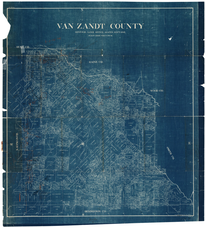
Van Zandt County

Print $40.00
- Digital $50.00
Van Zandt County
1921
Size 43.3 x 48.1 inches
Map/Doc 93124
St Francis situated in Potter and Carson Counties, Texas

Print $20.00
- Digital $50.00
St Francis situated in Potter and Carson Counties, Texas
Size 15.1 x 19.2 inches
Map/Doc 93084
[Block H, Block 24]
![92598, [Block H, Block 24], Twichell Survey Records](https://historictexasmaps.com/wmedia_w700/maps/92598-1.tif.jpg)
![92598, [Block H, Block 24], Twichell Survey Records](https://historictexasmaps.com/wmedia_w700/maps/92598-1.tif.jpg)
Print $20.00
- Digital $50.00
[Block H, Block 24]
Size 30.2 x 17.0 inches
Map/Doc 92598
[W. T. Brewer: M. McDonald, Ralph Gilpin, A. Vanhooser, John Baker, John R. Taylor Surveys]
![90964, [W. T. Brewer: M. McDonald, Ralph Gilpin, A. Vanhooser, John Baker, John R. Taylor Surveys], Twichell Survey Records](https://historictexasmaps.com/wmedia_w700/maps/90964-1.tif.jpg)
![90964, [W. T. Brewer: M. McDonald, Ralph Gilpin, A. Vanhooser, John Baker, John R. Taylor Surveys], Twichell Survey Records](https://historictexasmaps.com/wmedia_w700/maps/90964-1.tif.jpg)
Print $2.00
- Digital $50.00
[W. T. Brewer: M. McDonald, Ralph Gilpin, A. Vanhooser, John Baker, John R. Taylor Surveys]
Size 8.8 x 11.3 inches
Map/Doc 90964
[Area along North line of McLennan County School Land]
![90928, [Area along North line of McLennan County School Land], Twichell Survey Records](https://historictexasmaps.com/wmedia_w700/maps/90928-1.tif.jpg)
![90928, [Area along North line of McLennan County School Land], Twichell Survey Records](https://historictexasmaps.com/wmedia_w700/maps/90928-1.tif.jpg)
Print $2.00
- Digital $50.00
[Area along North line of McLennan County School Land]
1920
Size 5.5 x 14.9 inches
Map/Doc 90928
You may also like
Photostat of section of hydrographic surveys H-5399, H-4822, H-470

Print $20.00
- Digital $50.00
Photostat of section of hydrographic surveys H-5399, H-4822, H-470
1933
Size 25.9 x 18.3 inches
Map/Doc 61158
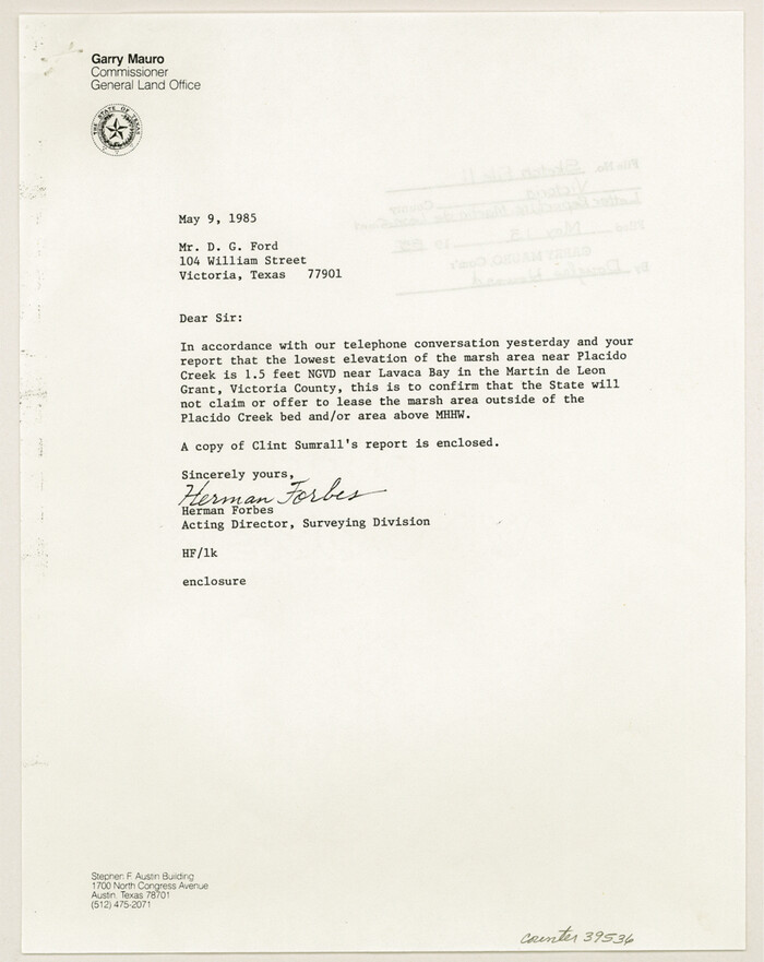
Victoria County Sketch File 11

Print $8.00
- Digital $50.00
Victoria County Sketch File 11
1985
Size 11.3 x 9.0 inches
Map/Doc 39536
Map of Bexar County


Print $20.00
- Digital $50.00
Map of Bexar County
1878
Size 23.5 x 26.6 inches
Map/Doc 3299
Cottle County Sketch File 18


Print $46.00
- Digital $50.00
Cottle County Sketch File 18
2004
Size 8.0 x 11.0 inches
Map/Doc 82433
Flight Mission No. CLL-3N, Frame 13, Willacy County


Print $20.00
- Digital $50.00
Flight Mission No. CLL-3N, Frame 13, Willacy County
1954
Size 18.4 x 22.1 inches
Map/Doc 87079
Sherman County, Texas


Print $20.00
- Digital $50.00
Sherman County, Texas
1888
Size 23.1 x 18.5 inches
Map/Doc 754
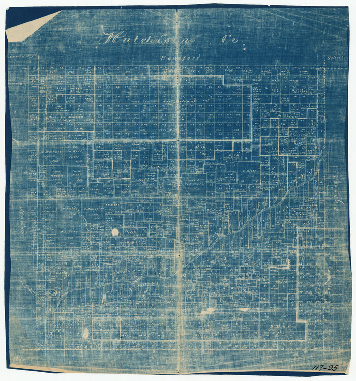
Hutchinson County Map

Print $20.00
- Digital $50.00
Hutchinson County Map
Size 18.1 x 19.4 inches
Map/Doc 91185
Sterling County Working Sketch 9


Print $20.00
- Digital $50.00
Sterling County Working Sketch 9
1980
Size 30.3 x 41.1 inches
Map/Doc 63991
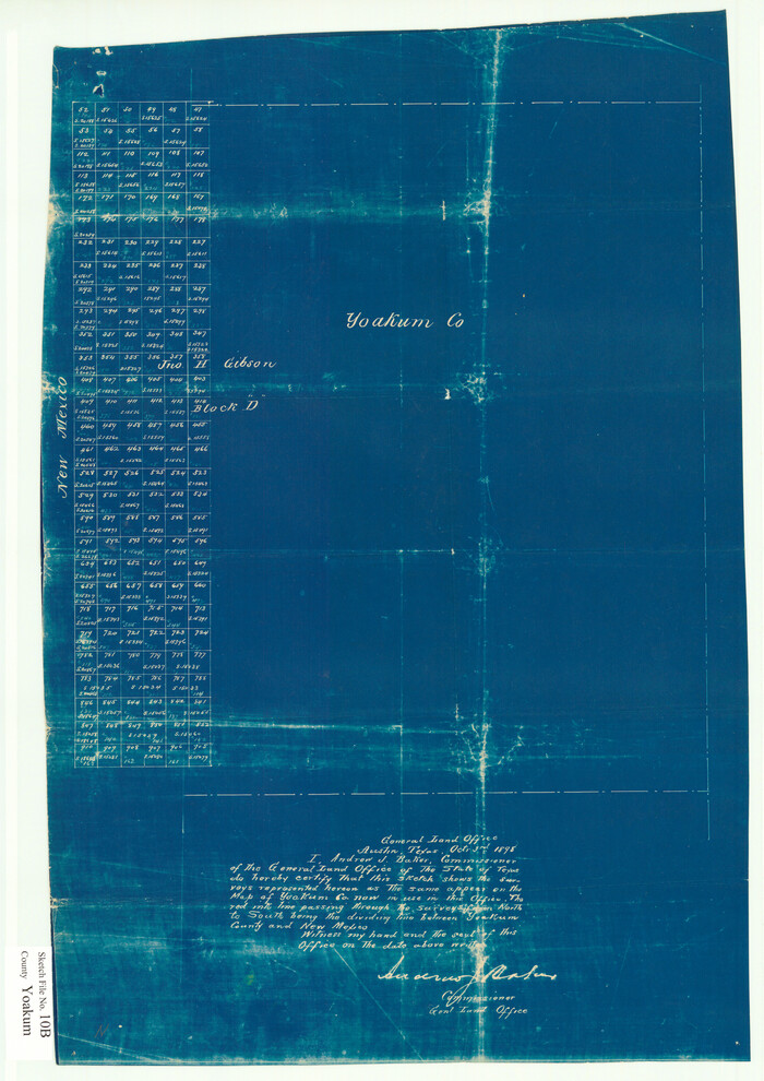
Yoakum County Sketch File 10b

Print $20.00
- Digital $50.00
Yoakum County Sketch File 10b
Size 22.4 x 15.8 inches
Map/Doc 12707
Carte de la Nouvelle France ou le voit le cours des Grandes Rivieres de S. Laurens & de Mississipi


Print $20.00
- Digital $50.00
Carte de la Nouvelle France ou le voit le cours des Grandes Rivieres de S. Laurens & de Mississipi
1720
Size 25.9 x 41.5 inches
Map/Doc 93822
Lynn County Rolled Sketch 13


Print $20.00
- Digital $50.00
Lynn County Rolled Sketch 13
Size 36.2 x 24.7 inches
Map/Doc 6649
![91387, [Meander of Yellow House Creek from Northeast Corner of Section 37, Block S to Northeast corner of Section 3, Block O], Twichell Survey Records](https://historictexasmaps.com/wmedia_w1800h1800/maps/91387-1.tif.jpg)
