[Pencil Sketch of a portion of Block D-8]
233-9
-
Map/Doc
91872
-
Collection
Twichell Survey Records
-
Object Dates
6/28/1937 (Creation Date)
-
Counties
Val Verde
-
Height x Width
14.5 x 9.1 inches
36.8 x 23.1 cm
Part of: Twichell Survey Records
[Famous Heights Addition to Amarillo, Texas]
![91786, [Famous Heights Addition to Amarillo, Texas], Twichell Survey Records](https://historictexasmaps.com/wmedia_w700/maps/91786-1.tif.jpg)
![91786, [Famous Heights Addition to Amarillo, Texas], Twichell Survey Records](https://historictexasmaps.com/wmedia_w700/maps/91786-1.tif.jpg)
Print $20.00
- Digital $50.00
[Famous Heights Addition to Amarillo, Texas]
Size 20.3 x 15.6 inches
Map/Doc 91786
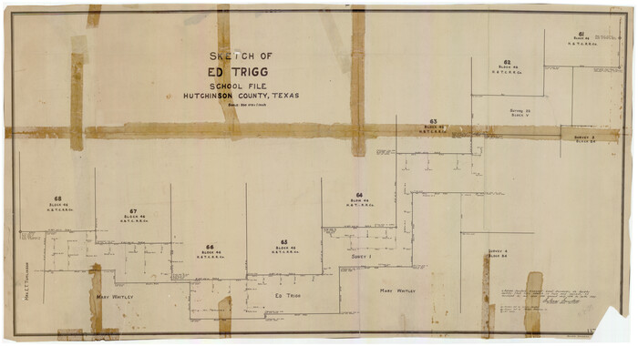
Sketch of Ed Trigg School File

Print $20.00
- Digital $50.00
Sketch of Ed Trigg School File
1929
Size 40.0 x 21.6 inches
Map/Doc 91254
Culberson County


Print $40.00
- Digital $50.00
Culberson County
1924
Size 32.4 x 48.5 inches
Map/Doc 92559
Working Sketch in Falls and Limestone Counties


Print $20.00
- Digital $50.00
Working Sketch in Falls and Limestone Counties
1922
Size 15.9 x 34.8 inches
Map/Doc 91088
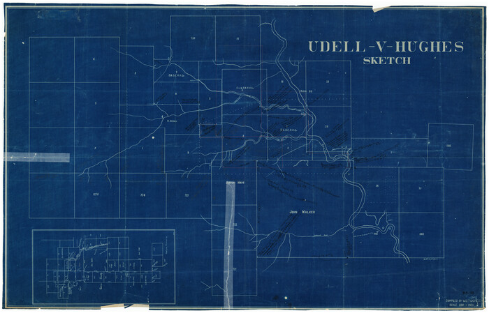
Udell -V- Hughes Sketch

Print $20.00
- Digital $50.00
Udell -V- Hughes Sketch
Size 41.6 x 26.7 inches
Map/Doc 90894
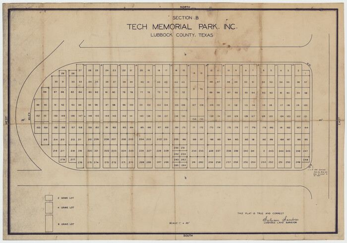
Section B Tech Memorial Park, Inc.

Print $3.00
- Digital $50.00
Section B Tech Memorial Park, Inc.
Size 14.1 x 10.0 inches
Map/Doc 92268
Section 21, Block A, Sylvan Sanders Survey


Print $20.00
- Digital $50.00
Section 21, Block A, Sylvan Sanders Survey
1952
Size 24.6 x 16.6 inches
Map/Doc 92723
General Highway Map Lamb County, Texas


Print $20.00
- Digital $50.00
General Highway Map Lamb County, Texas
1949
Size 19.0 x 26.0 inches
Map/Doc 92172
Preliminary Re-Plat of Lots 13-20, 45-52, 77-84, and 97-104 James Subdivision


Print $20.00
- Digital $50.00
Preliminary Re-Plat of Lots 13-20, 45-52, 77-84, and 97-104 James Subdivision
1953
Size 11.8 x 36.7 inches
Map/Doc 93222
Dr. T. F. Nanny's Lands, Swisher and Castro Counties, Texas


Print $20.00
- Digital $50.00
Dr. T. F. Nanny's Lands, Swisher and Castro Counties, Texas
Size 16.7 x 21.5 inches
Map/Doc 92614
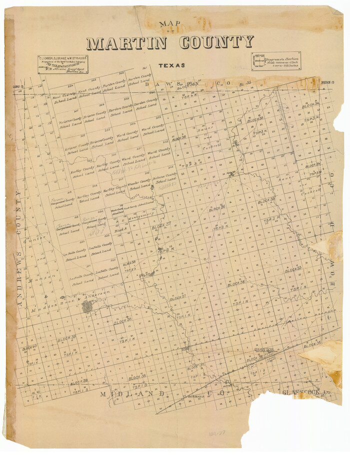
Map of Martin County, Texas

Print $20.00
- Digital $50.00
Map of Martin County, Texas
Size 17.7 x 22.6 inches
Map/Doc 91362
You may also like
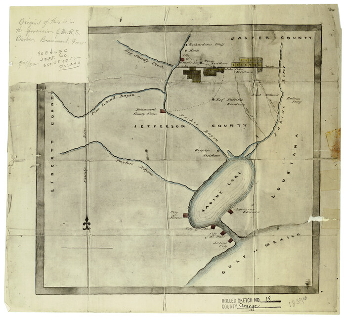
Orange County Rolled Sketch 18

Print $20.00
- Digital $50.00
Orange County Rolled Sketch 18
Size 11.6 x 12.6 inches
Map/Doc 7182
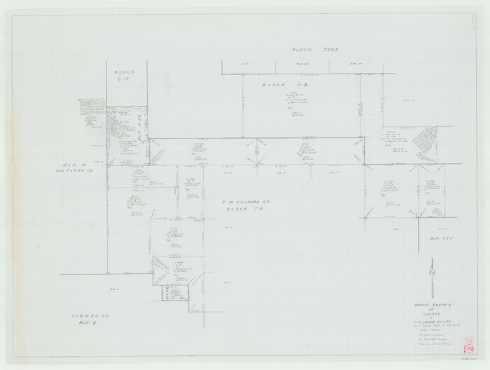
Val Verde County Working Sketch 107

Print $20.00
- Digital $50.00
Val Verde County Working Sketch 107
Size 32.8 x 43.5 inches
Map/Doc 72242
Flight Mission No. BRE-2P, Frame 68, Nueces County

Print $20.00
- Digital $50.00
Flight Mission No. BRE-2P, Frame 68, Nueces County
1956
Size 18.6 x 22.4 inches
Map/Doc 86763
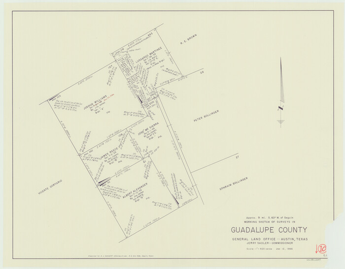
Guadalupe County Working Sketch 10

Print $20.00
- Digital $50.00
Guadalupe County Working Sketch 10
1966
Size 21.2 x 27.2 inches
Map/Doc 63319
Crockett County Working Sketch 22
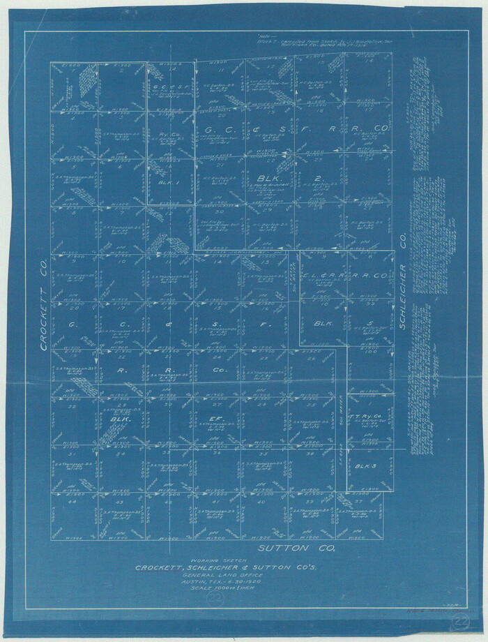

Print $20.00
- Digital $50.00
Crockett County Working Sketch 22
1920
Size 25.6 x 19.5 inches
Map/Doc 68355
Chart of the Harbour of San [Luis]
![72763, Chart of the Harbour of San [Luis], General Map Collection](https://historictexasmaps.com/wmedia_w700/maps/72763.tif.jpg)
![72763, Chart of the Harbour of San [Luis], General Map Collection](https://historictexasmaps.com/wmedia_w700/maps/72763.tif.jpg)
Print $20.00
- Digital $50.00
Chart of the Harbour of San [Luis]
1846
Size 27.7 x 18.3 inches
Map/Doc 72763
Flight Mission No. DCL-7C, Frame 122, Kenedy County
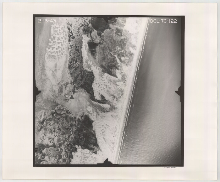

Print $20.00
- Digital $50.00
Flight Mission No. DCL-7C, Frame 122, Kenedy County
1943
Size 18.6 x 22.4 inches
Map/Doc 86087
Rusk County Rolled Sketch 5
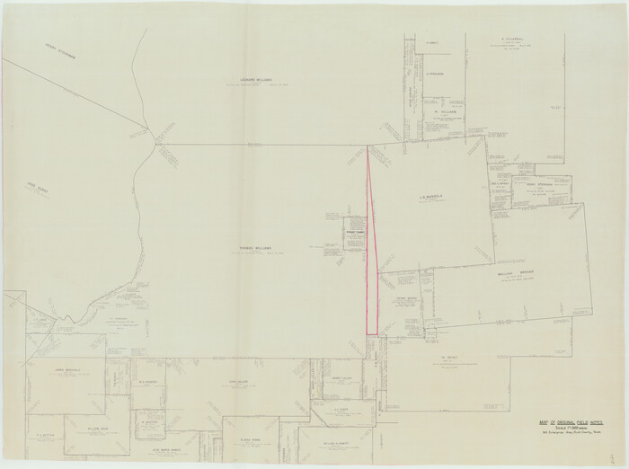

Print $40.00
- Digital $50.00
Rusk County Rolled Sketch 5
1948
Size 36.9 x 49.5 inches
Map/Doc 10744
Right of Way and Track Map, The Missouri, Kansas and Texas Ry. of Texas operated by the Missouri, Kansas and Texas Ry. of Texas, Henrietta Division


Print $40.00
- Digital $50.00
Right of Way and Track Map, The Missouri, Kansas and Texas Ry. of Texas operated by the Missouri, Kansas and Texas Ry. of Texas, Henrietta Division
1918
Size 25.2 x 56.6 inches
Map/Doc 64067
Flight Mission No. DAG-19K, Frame 65, Matagorda County
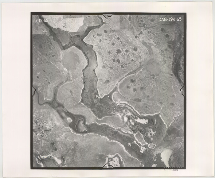

Print $20.00
- Digital $50.00
Flight Mission No. DAG-19K, Frame 65, Matagorda County
1952
Size 18.5 x 22.3 inches
Map/Doc 86392
Anderson County Working Sketch 7


Print $20.00
- Digital $50.00
Anderson County Working Sketch 7
1920
Size 27.3 x 30.2 inches
Map/Doc 67006
Pendleton-Baxter Addition to Shamrock, Texas
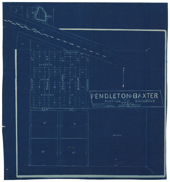

Print $20.00
- Digital $50.00
Pendleton-Baxter Addition to Shamrock, Texas
Size 13.0 x 14.0 inches
Map/Doc 92116
![91872, [Pencil Sketch of a portion of Block D-8], Twichell Survey Records](https://historictexasmaps.com/wmedia_w1800h1800/maps/91872-1.tif.jpg)
![92252, [Leagues 1-20], Twichell Survey Records](https://historictexasmaps.com/wmedia_w700/maps/92252-1.tif.jpg)