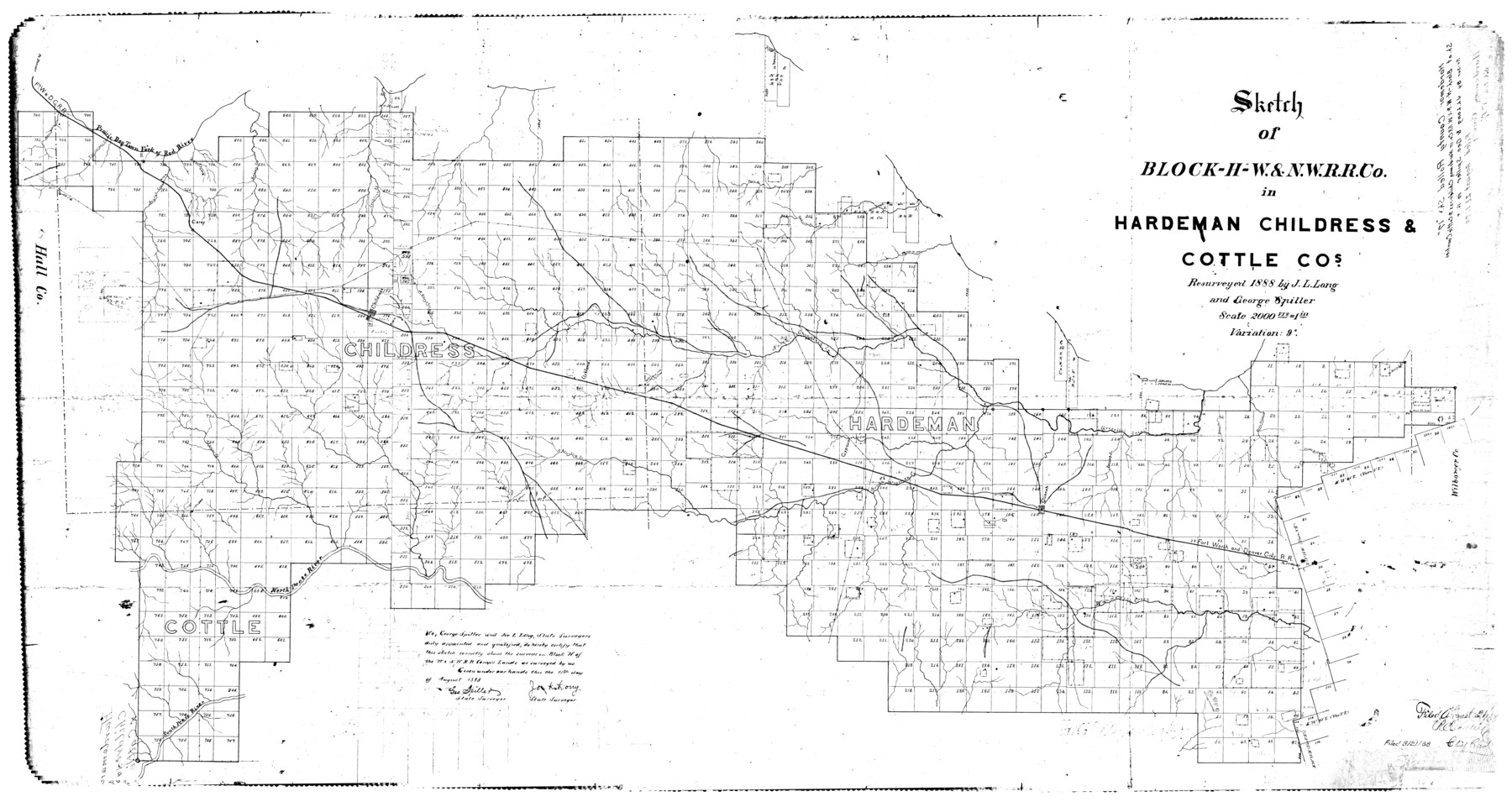
Hardeman County Rolled Sketch 17
Sketch of Block H, W. & N. W. R.R. Co. in Hardeman, Childress & Cottle Cos.
-
Map/Doc
9100
-
Collection
General Map Collection
-
Object Dates
1888 (Creation Date)
1888/8/21 (File Date)
-
People and Organizations
George Spiller (Surveyor/Engineer)
J.L. Long (Surveyor/Engineer)
-
Counties
Hardeman Childress Cottle
-
Subjects
Surveying Rolled Sketch
-
Height x Width
57.9 x 31.1 inches
147.1 x 79.0 cm
-
Scale
1" = 2000 varas
Part of: General Map Collection
King County Working Sketch 8

Print $20.00
- Digital $50.00
King County Working Sketch 8
1955
Size 30.8 x 24.8 inches
Map/Doc 70172
Hardin County Working Sketch 40

Print $20.00
- Digital $50.00
Hardin County Working Sketch 40
1988
Size 23.0 x 14.4 inches
Map/Doc 63439
Culberson County Sketch File 36

Print $28.00
- Digital $50.00
Culberson County Sketch File 36
1957
Size 11.3 x 8.7 inches
Map/Doc 20302
Old Miscellaneous File 7

Print $10.00
- Digital $50.00
Old Miscellaneous File 7
1848
Size 12.6 x 8.2 inches
Map/Doc 75422
Kinney County Sketch File 38

Print $8.00
- Digital $50.00
Kinney County Sketch File 38
1882
Size 14.3 x 8.7 inches
Map/Doc 29188
Map of subdivision of submerged land in the Gulf of Mexico fronting on Matagorda Island and Peninsula

Print $40.00
- Digital $50.00
Map of subdivision of submerged land in the Gulf of Mexico fronting on Matagorda Island and Peninsula
1940
Size 28.2 x 61.3 inches
Map/Doc 2929
Brewster County Sketch File 23

Print $12.00
- Digital $50.00
Brewster County Sketch File 23
1958
Size 11.3 x 8.7 inches
Map/Doc 15825
Orange County Sketch File 17

Print $50.00
- Digital $50.00
Orange County Sketch File 17
1922
Size 11.1 x 8.6 inches
Map/Doc 33337
Galveston County NRC Article 33.136 Sketch 92

Print $62.00
Galveston County NRC Article 33.136 Sketch 92
2021
Map/Doc 97179
Castro County Sketch File 4d

Print $4.00
- Digital $50.00
Castro County Sketch File 4d
Size 13.6 x 8.8 inches
Map/Doc 17471
Frio County Sketch File 4

Print $4.00
- Digital $50.00
Frio County Sketch File 4
1877
Size 8.0 x 9.6 inches
Map/Doc 23111
Montgomery County Working Sketch 35

Print $20.00
- Digital $50.00
Montgomery County Working Sketch 35
1953
Size 26.6 x 21.7 inches
Map/Doc 71142
You may also like
Flight Mission No. CRK-3P, Frame 66, Refugio County

Print $20.00
- Digital $50.00
Flight Mission No. CRK-3P, Frame 66, Refugio County
1956
Size 18.6 x 22.4 inches
Map/Doc 86908
Flight Mission No. DQO-2K, Frame 160, Galveston County

Print $20.00
- Digital $50.00
Flight Mission No. DQO-2K, Frame 160, Galveston County
1952
Size 18.7 x 22.4 inches
Map/Doc 85049
Map of Frio County, Texas

Print $20.00
- Digital $50.00
Map of Frio County, Texas
1879
Size 22.8 x 21.9 inches
Map/Doc 545
[Lgs. 195-199, 111, 112, 211-214, 678]
![90105, [Lgs. 195-199, 111, 112, 211-214, 678], Twichell Survey Records](https://historictexasmaps.com/wmedia_w700/maps/90105-1.tif.jpg)
Print $20.00
- Digital $50.00
[Lgs. 195-199, 111, 112, 211-214, 678]
Size 16.6 x 13.0 inches
Map/Doc 90105

[County School Land Leagues]
![90280, [County School Land Leagues], Twichell Survey Records](https://historictexasmaps.com/wmedia_w700/maps/90280-1.tif.jpg)
Print $20.00
- Digital $50.00
[County School Land Leagues]
1913
Size 21.2 x 25.4 inches
Map/Doc 90280
Schleicher County Rolled Sketch 6

Print $20.00
- Digital $50.00
Schleicher County Rolled Sketch 6
Size 28.1 x 21.1 inches
Map/Doc 7749
Anderson County Working Sketch 2

Print $20.00
- Digital $50.00
Anderson County Working Sketch 2
Size 31.8 x 37.7 inches
Map/Doc 67001
Hale County Working Sketch 7

Print $20.00
- Digital $50.00
Hale County Working Sketch 7
1963
Size 24.4 x 20.6 inches
Map/Doc 63327
Maverick County Working Sketch 22

Print $20.00
- Digital $50.00
Maverick County Working Sketch 22
1978
Size 44.0 x 34.9 inches
Map/Doc 70914
John B. Slaughter Ranch Situated in Garza County, Texas

Print $20.00
- Digital $50.00
John B. Slaughter Ranch Situated in Garza County, Texas
Size 32.5 x 44.7 inches
Map/Doc 92657
Eastland County Sketch File 2b

Print $6.00
- Digital $50.00
Eastland County Sketch File 2b
1857
Size 11.1 x 8.8 inches
Map/Doc 21563