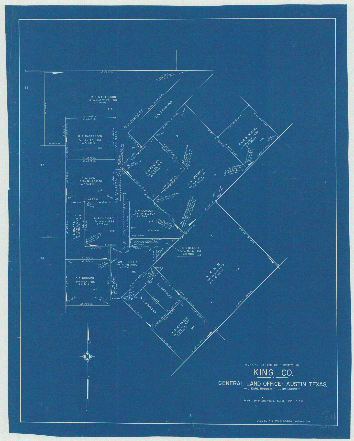
King County Working Sketch 8
-
Map/Doc
70172
-
Collection
General Map Collection
-
Object Dates
4/11/1955 (Creation Date)
-
People and Organizations
Otto G. Kurio (Draftsman)
-
Counties
King
-
Subjects
Surveying Working Sketch
-
Height x Width
30.8 x 24.8 inches
78.2 x 63.0 cm
-
Scale
1" = 300 varas
Part of: General Map Collection
Flight Mission No. CRE-1R, Frame 122, Jackson County

Print $20.00
- Digital $50.00
Flight Mission No. CRE-1R, Frame 122, Jackson County
1956
Size 16.2 x 16.0 inches
Map/Doc 85333
Tom Green County Sketch File XXX

Print $20.00
- Digital $50.00
Tom Green County Sketch File XXX
Size 17.0 x 20.5 inches
Map/Doc 12457
Carson County Sketch File 4

Print $4.00
- Digital $50.00
Carson County Sketch File 4
1901
Size 9.7 x 6.2 inches
Map/Doc 17351
Bandera County Sketch File 30A

Print $40.00
- Digital $50.00
Bandera County Sketch File 30A
Size 18.7 x 17.0 inches
Map/Doc 10899
Runnels County Working Sketch 9

Print $40.00
- Digital $50.00
Runnels County Working Sketch 9
1948
Size 48.8 x 30.1 inches
Map/Doc 69712
The Town of Charlotte Situated on the San Antonio, Uvalde and Gulf Railway in Atascosa County, Texas

Print $20.00
- Digital $50.00
The Town of Charlotte Situated on the San Antonio, Uvalde and Gulf Railway in Atascosa County, Texas
1911
Size 29.7 x 24.5 inches
Map/Doc 4823
Parker County Working Sketch 2

Print $20.00
- Digital $50.00
Parker County Working Sketch 2
1920
Map/Doc 71452
Kimble County Working Sketch 96

Print $20.00
- Digital $50.00
Kimble County Working Sketch 96
1921
Size 20.9 x 26.8 inches
Map/Doc 70164
Fractional Township No. 7 South Range No. 5 West of the Indian Meridian, Indian Territory

Print $20.00
- Digital $50.00
Fractional Township No. 7 South Range No. 5 West of the Indian Meridian, Indian Territory
1898
Size 19.1 x 24.4 inches
Map/Doc 75189
Map of Wichita County Young Land District, formerly Fannin Land District

Print $20.00
- Digital $50.00
Map of Wichita County Young Land District, formerly Fannin Land District
1859
Size 22.4 x 20.5 inches
Map/Doc 4141
Wharton County Working Sketch 24

Print $20.00
- Digital $50.00
Wharton County Working Sketch 24
1909
Size 13.3 x 14.2 inches
Map/Doc 72488
Brazoria County Sketch File 53

Print $14.00
- Digital $50.00
Brazoria County Sketch File 53
1919
Size 14.2 x 8.6 inches
Map/Doc 15316
You may also like
Nueces County Rolled Sketch 9

Print $20.00
- Digital $50.00
Nueces County Rolled Sketch 9
1909
Size 30.4 x 21.7 inches
Map/Doc 6868
America sive novvs orbis respectv evropaeorvm inferior globi terrestris pars 1596

Print $20.00
- Digital $50.00
America sive novvs orbis respectv evropaeorvm inferior globi terrestris pars 1596
1596
Size 14.7 x 18.1 inches
Map/Doc 93809
[The S.K. Ry. of Texas, State Line to Pecos, Reeves Co., Texas]
![64163, [The S.K. Ry. of Texas, State Line to Pecos, Reeves Co., Texas], General Map Collection](https://historictexasmaps.com/wmedia_w700/maps/64163.tif.jpg)
Print $40.00
- Digital $50.00
[The S.K. Ry. of Texas, State Line to Pecos, Reeves Co., Texas]
1910
Size 19.3 x 120.2 inches
Map/Doc 64163
The Texas Panhandle Route from Summerland to the American Alps

The Texas Panhandle Route from Summerland to the American Alps
1892
Size 7.9 x 6.3 inches
Map/Doc 96584
Flight Mission No. DIX-5P, Frame 150, Aransas County

Print $20.00
- Digital $50.00
Flight Mission No. DIX-5P, Frame 150, Aransas County
1956
Size 17.8 x 18.3 inches
Map/Doc 83812
Flight Mission No. DCL-6C, Frame 175, Kenedy County

Print $20.00
- Digital $50.00
Flight Mission No. DCL-6C, Frame 175, Kenedy County
1943
Size 18.6 x 22.3 inches
Map/Doc 85987
Red River County Working Sketch 45

Print $20.00
- Digital $50.00
Red River County Working Sketch 45
1968
Size 31.6 x 37.1 inches
Map/Doc 72028
Menard County Working Sketch 29

Print $20.00
- Digital $50.00
Menard County Working Sketch 29
1967
Size 25.8 x 32.0 inches
Map/Doc 70976
Fisher County Rolled Sketch 5

Print $20.00
- Digital $50.00
Fisher County Rolled Sketch 5
1961
Size 39.1 x 33.7 inches
Map/Doc 8890
J No. 4 - Reconnaissance of Catalina Harbor And the Anchorage on the N.E. Side of the Island, California

Print $20.00
- Digital $50.00
J No. 4 - Reconnaissance of Catalina Harbor And the Anchorage on the N.E. Side of the Island, California
1852
Size 18.3 x 13.1 inches
Map/Doc 97231
General Highway Map, Nueces County, Texas

Print $20.00
General Highway Map, Nueces County, Texas
1940
Size 24.6 x 18.4 inches
Map/Doc 79210
Nolan County Sketch File 16

Print $20.00
- Digital $50.00
Nolan County Sketch File 16
1938
Size 18.9 x 23.4 inches
Map/Doc 42166