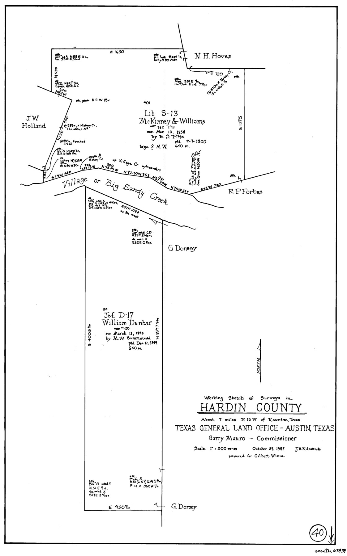
Hardin County Working Sketch 40
-
Map/Doc
63439
-
Collection
General Map Collection
-
Object Dates
10/27/1988 (Creation Date)
-
People and Organizations
Joan Kilpatrick (Draftsman)
-
Counties
Hardin
-
Subjects
Surveying Working Sketch
-
Height x Width
23.0 x 14.4 inches
58.4 x 36.6 cm
-
Scale
1" = 300 varas
Part of: General Map Collection
Map of west half of Sabine Lake, Jefferson Co., showing subdivision for mineral development

Print $20.00
- Digital $50.00
Map of west half of Sabine Lake, Jefferson Co., showing subdivision for mineral development
1956
Size 37.9 x 28.4 inches
Map/Doc 2897
Galveston County Rolled Sketch 37

Print $20.00
- Digital $50.00
Galveston County Rolled Sketch 37
Size 26.8 x 16.5 inches
Map/Doc 5971
Crockett County Sketch File 93

Print $8.00
- Digital $50.00
Crockett County Sketch File 93
1887
Size 12.7 x 8.2 inches
Map/Doc 19946
PSL Field Notes for Blocks G, L, P, and Q in Cochran and Yoakum Counties and Blocks U, V, W, Y, and Z in Cochran County

PSL Field Notes for Blocks G, L, P, and Q in Cochran and Yoakum Counties and Blocks U, V, W, Y, and Z in Cochran County
Map/Doc 81645
San Augustine County Rolled Sketch 3

Print $20.00
- Digital $50.00
San Augustine County Rolled Sketch 3
1969
Size 21.5 x 29.0 inches
Map/Doc 7555
Kent County Boundary File 1

Print $54.00
- Digital $50.00
Kent County Boundary File 1
Size 14.2 x 8.5 inches
Map/Doc 55795
Brown County Working Sketch 17

Print $20.00
- Digital $50.00
Brown County Working Sketch 17
1993
Size 25.6 x 29.4 inches
Map/Doc 67782
Morris County Rolled Sketch 2A

Print $20.00
- Digital $50.00
Morris County Rolled Sketch 2A
Size 24.4 x 19.4 inches
Map/Doc 10245
Jasper County Sketch File 16

Print $20.00
- Digital $50.00
Jasper County Sketch File 16
Size 16.8 x 16.2 inches
Map/Doc 11849
Bee County Working Sketch 10

Print $20.00
- Digital $50.00
Bee County Working Sketch 10
1941
Size 41.2 x 20.4 inches
Map/Doc 67260

Ellis County Sketch File 8

Print $40.00
- Digital $50.00
Ellis County Sketch File 8
1860
Size 12.8 x 16.2 inches
Map/Doc 21841
You may also like
Hutchinson County Boundary File 4a

Print $40.00
- Digital $50.00
Hutchinson County Boundary File 4a
Size 8.7 x 51.7 inches
Map/Doc 55313

Flight Mission No. CRC-2R, Frame 137, Chambers County

Print $20.00
- Digital $50.00
Flight Mission No. CRC-2R, Frame 137, Chambers County
1956
Size 18.6 x 22.3 inches
Map/Doc 84753
Sterling County Rolled Sketch 34

Print $20.00
- Digital $50.00
Sterling County Rolled Sketch 34
1960
Size 16.0 x 21.8 inches
Map/Doc 7858
Montgomery County Sketch File 30

Print $20.00
- Digital $50.00
Montgomery County Sketch File 30
Size 37.5 x 41.7 inches
Map/Doc 10549
Gulf Coast of the United States, Key West to Rio Grande

Print $20.00
- Digital $50.00
Gulf Coast of the United States, Key West to Rio Grande
1863
Size 27.5 x 18.3 inches
Map/Doc 72664
Cottle County Sketch File H

Print $12.00
- Digital $50.00
Cottle County Sketch File H
1976
Size 11.2 x 8.7 inches
Map/Doc 19451
Montgomery County Rolled Sketch 36

Print $20.00
- Digital $50.00
Montgomery County Rolled Sketch 36
1956
Size 25.8 x 23.6 inches
Map/Doc 6812
Frio County Working Sketch 13

Print $20.00
- Digital $50.00
Frio County Working Sketch 13
1954
Size 23.3 x 35.5 inches
Map/Doc 69287
Smith County Working Sketch 7

Print $20.00
- Digital $50.00
Smith County Working Sketch 7
1941
Size 27.2 x 20.8 inches
Map/Doc 63892
Reconnoissance of Sabine River and Valley

Print $20.00
Reconnoissance of Sabine River and Valley
1863
Size 42.3 x 30.0 inches
Map/Doc 97501
A Map of North America, constructed according to the latest information

Print $40.00
- Digital $50.00
A Map of North America, constructed according to the latest information
1822
Size 44.4 x 59.6 inches
Map/Doc 93845