[3KA and vicinity]
85-23A
-
Map/Doc
90846
-
Collection
Twichell Survey Records
-
Counties
Garza Crosby
-
Height x Width
32.9 x 10.3 inches
83.6 x 26.2 cm
Part of: Twichell Survey Records
Cochran County, Texas


Print $40.00
- Digital $50.00
Cochran County, Texas
Size 38.1 x 48.3 inches
Map/Doc 89870
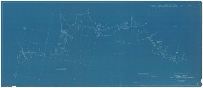
Right-of-way & Track Map Dawson Railway Operated by the El Paso & Southwestern Company Station 1021+79.7 to Station 1233+41.7

Print $40.00
- Digital $50.00
Right-of-way & Track Map Dawson Railway Operated by the El Paso & Southwestern Company Station 1021+79.7 to Station 1233+41.7
1910
Size 57.0 x 25.1 inches
Map/Doc 89661
[Nathaniel H. Cochran Survey and Vicinity]
![91496, [Nathaniel H. Cochran Survey and Vicinity], Twichell Survey Records](https://historictexasmaps.com/wmedia_w700/maps/91496-1.tif.jpg)
![91496, [Nathaniel H. Cochran Survey and Vicinity], Twichell Survey Records](https://historictexasmaps.com/wmedia_w700/maps/91496-1.tif.jpg)
Print $20.00
- Digital $50.00
[Nathaniel H. Cochran Survey and Vicinity]
1922
Size 22.5 x 21.9 inches
Map/Doc 91496
[Blk. M, T. & P. Blocks 33-36, Townships 5N and 6N]
![90549, [Blk. M, T. & P. Blocks 33-36, Townships 5N and 6N], Twichell Survey Records](https://historictexasmaps.com/wmedia_w700/maps/90549-1.tif.jpg)
![90549, [Blk. M, T. & P. Blocks 33-36, Townships 5N and 6N], Twichell Survey Records](https://historictexasmaps.com/wmedia_w700/maps/90549-1.tif.jpg)
Print $20.00
- Digital $50.00
[Blk. M, T. & P. Blocks 33-36, Townships 5N and 6N]
Size 16.2 x 12.2 inches
Map/Doc 90549
Part of Garza, Crosby, Lynn, and Lubbock Counties


Print $20.00
- Digital $50.00
Part of Garza, Crosby, Lynn, and Lubbock Counties
1912
Size 39.6 x 26.0 inches
Map/Doc 92560
[Map showing Block 35, Townships 1N-5N]
![93207, [Map showing Block 35, Townships 1N-5N], Twichell Survey Records](https://historictexasmaps.com/wmedia_w700/maps/93207-1.tif.jpg)
![93207, [Map showing Block 35, Townships 1N-5N], Twichell Survey Records](https://historictexasmaps.com/wmedia_w700/maps/93207-1.tif.jpg)
Print $40.00
- Digital $50.00
[Map showing Block 35, Townships 1N-5N]
Size 22.8 x 83.0 inches
Map/Doc 93207
[Block 1 and vicinity]
![90703, [Block 1 and vicinity], Twichell Survey Records](https://historictexasmaps.com/wmedia_w700/maps/90703-1.tif.jpg)
![90703, [Block 1 and vicinity], Twichell Survey Records](https://historictexasmaps.com/wmedia_w700/maps/90703-1.tif.jpg)
Print $20.00
- Digital $50.00
[Block 1 and vicinity]
Size 25.3 x 24.1 inches
Map/Doc 90703
[Capitol Leagues in Southwest Hartley and Northwest Oldham Counties]
![90723, [Capitol Leagues in Southwest Hartley and Northwest Oldham Counties], Twichell Survey Records](https://historictexasmaps.com/wmedia_w700/maps/90723-1.tif.jpg)
![90723, [Capitol Leagues in Southwest Hartley and Northwest Oldham Counties], Twichell Survey Records](https://historictexasmaps.com/wmedia_w700/maps/90723-1.tif.jpg)
Print $20.00
- Digital $50.00
[Capitol Leagues in Southwest Hartley and Northwest Oldham Counties]
Size 13.8 x 18.0 inches
Map/Doc 90723
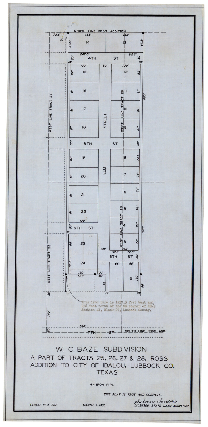
W. C. Baze Subdivision a part of Tracts 25, 26, 27 and 28, Ross Addition to City of Idalou, Lubbock Co.

Print $20.00
- Digital $50.00
W. C. Baze Subdivision a part of Tracts 25, 26, 27 and 28, Ross Addition to City of Idalou, Lubbock Co.
1955
Size 9.2 x 18.9 inches
Map/Doc 92761
[Blocks GG, 1, 29, A2, Archer County School Land Sections 1,2,3,4]
![92439, [Blocks GG, 1, 29, A2, Archer County School Land Sections 1,2,3,4], Twichell Survey Records](https://historictexasmaps.com/wmedia_w700/maps/92439-1.tif.jpg)
![92439, [Blocks GG, 1, 29, A2, Archer County School Land Sections 1,2,3,4], Twichell Survey Records](https://historictexasmaps.com/wmedia_w700/maps/92439-1.tif.jpg)
Print $20.00
- Digital $50.00
[Blocks GG, 1, 29, A2, Archer County School Land Sections 1,2,3,4]
Size 26.7 x 19.0 inches
Map/Doc 92439
[Sketch of Survey 152, Block 9]
![93095, [Sketch of Survey 152, Block 9], Twichell Survey Records](https://historictexasmaps.com/wmedia_w700/maps/93095-1.tif.jpg)
![93095, [Sketch of Survey 152, Block 9], Twichell Survey Records](https://historictexasmaps.com/wmedia_w700/maps/93095-1.tif.jpg)
Print $2.00
- Digital $50.00
[Sketch of Survey 152, Block 9]
Size 5.1 x 6.3 inches
Map/Doc 93095
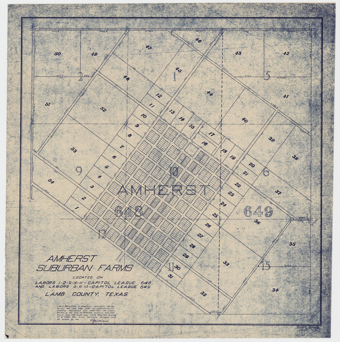
Amherst Suburban Farms

Print $20.00
- Digital $50.00
Amherst Suburban Farms
Size 16.7 x 16.8 inches
Map/Doc 92265
You may also like
[River Meander along Jas. Tobin Survey and others]
![89814, [River Meander along Jas. Tobin Survey and others], Twichell Survey Records](https://historictexasmaps.com/wmedia_w700/maps/89814-1.tif.jpg)
![89814, [River Meander along Jas. Tobin Survey and others], Twichell Survey Records](https://historictexasmaps.com/wmedia_w700/maps/89814-1.tif.jpg)
Print $40.00
- Digital $50.00
[River Meander along Jas. Tobin Survey and others]
Size 73.6 x 43.9 inches
Map/Doc 89814
Sutton County Working Sketch 53

Print $20.00
- Digital $50.00
Sutton County Working Sketch 53
1957
Size 36.1 x 37.5 inches
Map/Doc 62396
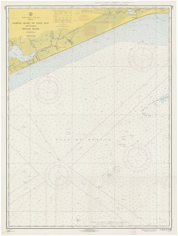
Sabine Bank to East Bay including Heald Bank

Print $20.00
- Digital $50.00
Sabine Bank to East Bay including Heald Bank
1967
Size 45.1 x 34.3 inches
Map/Doc 69848
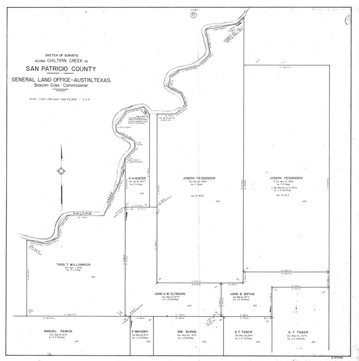
San Patricio County Working Sketch 13

Print $20.00
- Digital $50.00
San Patricio County Working Sketch 13
1949
Size 38.8 x 38.6 inches
Map/Doc 63775
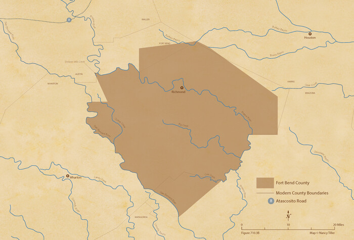
The Republic County of Fort Bend. February 5, 1840

Print $20.00
The Republic County of Fort Bend. February 5, 1840
2020
Size 14.7 x 21.6 inches
Map/Doc 96139
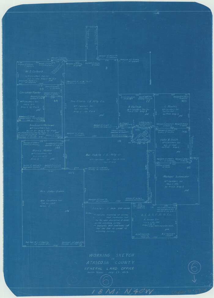
Atascosa County Working Sketch 6

Print $20.00
- Digital $50.00
Atascosa County Working Sketch 6
1913
Size 16.2 x 11.7 inches
Map/Doc 67202
Sutton County Rolled Sketch 35
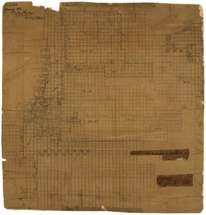

Print $20.00
- Digital $50.00
Sutton County Rolled Sketch 35
1886
Size 30.3 x 28.4 inches
Map/Doc 7879
Brown County Sketch File 11
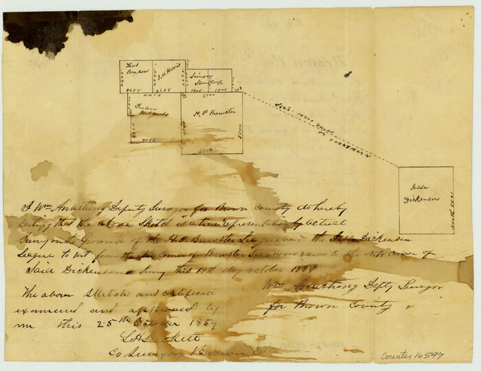

Print $4.00
- Digital $50.00
Brown County Sketch File 11
1859
Size 7.7 x 9.9 inches
Map/Doc 16597
Hansford County Boundary File 2b
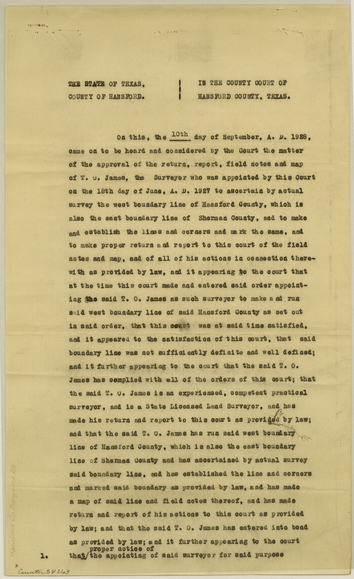

Print $14.00
- Digital $50.00
Hansford County Boundary File 2b
Size 14.3 x 8.8 inches
Map/Doc 54263
Edwards County Working Sketch 1
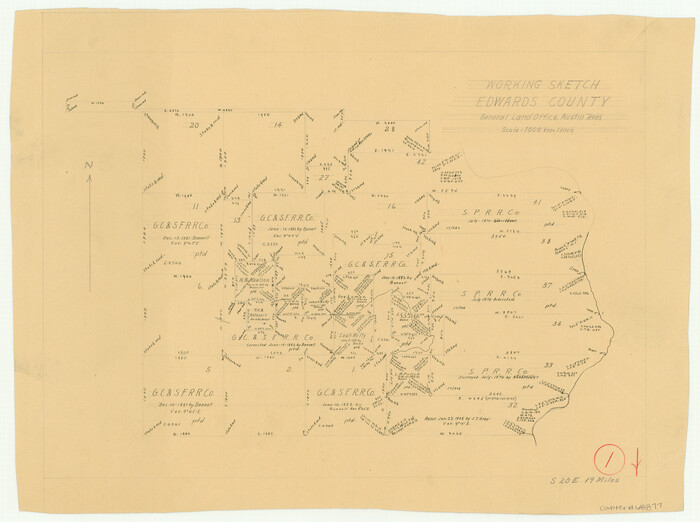

Print $20.00
- Digital $50.00
Edwards County Working Sketch 1
Size 12.2 x 16.4 inches
Map/Doc 68877
Trinity County Rolled Sketch 7
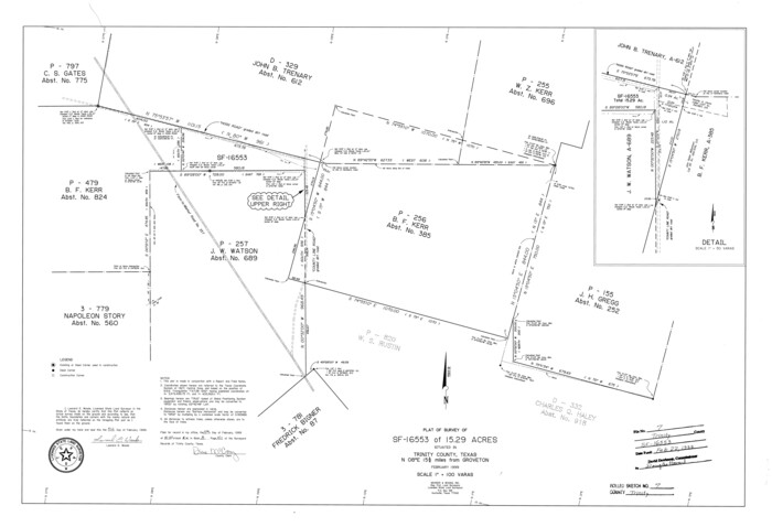

Print $20.00
- Digital $50.00
Trinity County Rolled Sketch 7
1999
Size 24.8 x 36.3 inches
Map/Doc 8054
[C. C. Slaughter Block 1, T. T. RR. Co. Block 2]
![90622, [C. C. Slaughter Block 1, T. T. RR. Co. Block 2], Twichell Survey Records](https://historictexasmaps.com/wmedia_w700/maps/90622-1.tif.jpg)
![90622, [C. C. Slaughter Block 1, T. T. RR. Co. Block 2], Twichell Survey Records](https://historictexasmaps.com/wmedia_w700/maps/90622-1.tif.jpg)
Print $3.00
- Digital $50.00
[C. C. Slaughter Block 1, T. T. RR. Co. Block 2]
Size 10.5 x 10.8 inches
Map/Doc 90622
![90846, [3KA and vicinity], Twichell Survey Records](https://historictexasmaps.com/wmedia_w1800h1800/maps/90846-2.tif.jpg)