[Central Yates]
186-21
-
Map/Doc
89829
-
Collection
Twichell Survey Records
-
Counties
Pecos
-
Height x Width
41.4 x 37.0 inches
105.2 x 94.0 cm
Part of: Twichell Survey Records
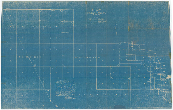
Plat in Pecos County, Texas

Print $40.00
- Digital $50.00
Plat in Pecos County, Texas
1927
Size 57.9 x 37.0 inches
Map/Doc 89836
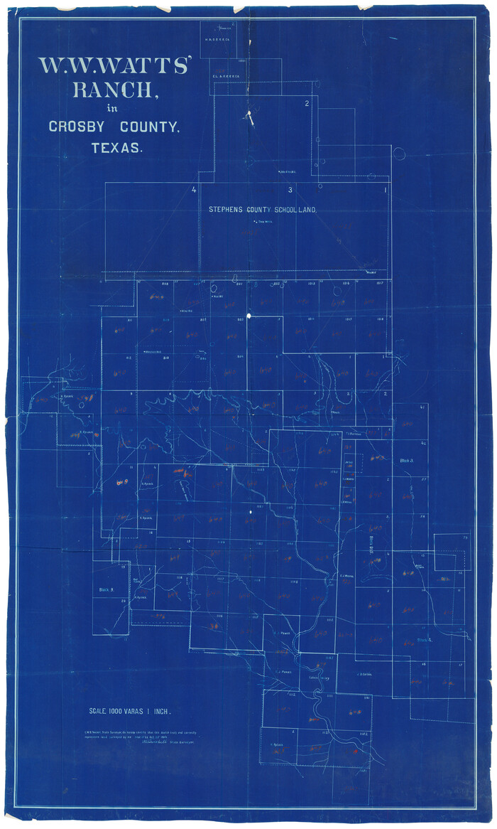
W. W. Watts' Ranch in Crosby County, Texas

Print $20.00
- Digital $50.00
W. W. Watts' Ranch in Crosby County, Texas
1904
Size 17.7 x 28.9 inches
Map/Doc 90485
[Sketch to determine conflict between H. & T. C. Blk. 97 and T. & P. Ry. Co. Blk. 30]
![90139, [Sketch to determine conflict between H. & T. C. Blk. 97 and T. & P. Ry. Co. Blk. 30], Twichell Survey Records](https://historictexasmaps.com/wmedia_w700/maps/90139-1.tif.jpg)
![90139, [Sketch to determine conflict between H. & T. C. Blk. 97 and T. & P. Ry. Co. Blk. 30], Twichell Survey Records](https://historictexasmaps.com/wmedia_w700/maps/90139-1.tif.jpg)
Print $20.00
- Digital $50.00
[Sketch to determine conflict between H. & T. C. Blk. 97 and T. & P. Ry. Co. Blk. 30]
1903
Size 19.1 x 26.9 inches
Map/Doc 90139
[Blocks X, I, and O. South Part of the County]
![91094, [Blocks X, I, and O. South Part of the County], Twichell Survey Records](https://historictexasmaps.com/wmedia_w700/maps/91094-1.tif.jpg)
![91094, [Blocks X, I, and O. South Part of the County], Twichell Survey Records](https://historictexasmaps.com/wmedia_w700/maps/91094-1.tif.jpg)
Print $20.00
- Digital $50.00
[Blocks X, I, and O. South Part of the County]
1902
Size 22.0 x 16.8 inches
Map/Doc 91094
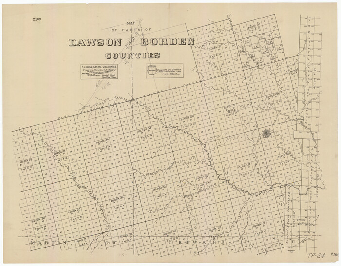
Map of Parts of Dawson and Borden Counties

Print $20.00
- Digital $50.00
Map of Parts of Dawson and Borden Counties
Size 22.7 x 17.6 inches
Map/Doc 92034
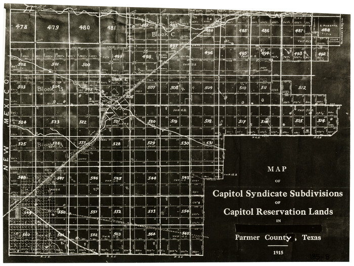
Map of Capitol Syndicate Subdivisions of Capitol Reservation Lands in Parmer County, Texas

Print $20.00
- Digital $50.00
Map of Capitol Syndicate Subdivisions of Capitol Reservation Lands in Parmer County, Texas
1915
Size 17.7 x 13.2 inches
Map/Doc 91553
University of Texas System University Lands


Print $20.00
- Digital $50.00
University of Texas System University Lands
1938
Size 17.8 x 23.4 inches
Map/Doc 93247
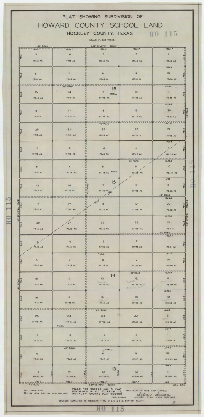
Plat Showing Subdivision of Howard County School Land Hockley County, Texas

Print $20.00
- Digital $50.00
Plat Showing Subdivision of Howard County School Land Hockley County, Texas
1947
Size 13.9 x 28.1 inches
Map/Doc 92256
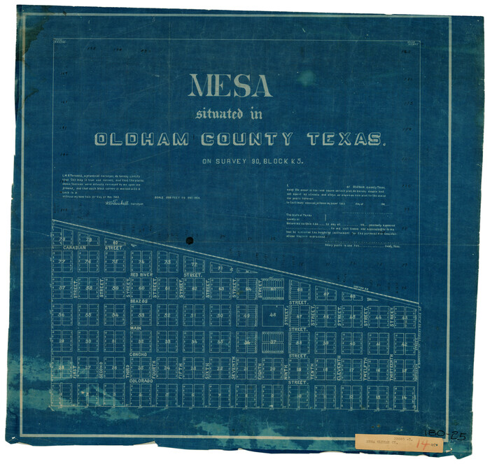
Mesa situated in Oldham County, Texas on Survey 90, Block K5

Print $20.00
- Digital $50.00
Mesa situated in Oldham County, Texas on Survey 90, Block K5
1903
Size 15.4 x 14.5 inches
Map/Doc 93010
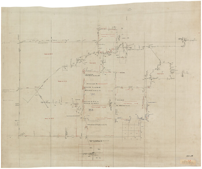
C. D. Collard's Lines

Print $20.00
- Digital $50.00
C. D. Collard's Lines
Size 44.1 x 47.0 inches
Map/Doc 90704
[W. T. Brewer: M. McDonald, Ralph Gilpin, A. Vanhooser, John Baker, John R. Taylor Surveys]
![90964, [W. T. Brewer: M. McDonald, Ralph Gilpin, A. Vanhooser, John Baker, John R. Taylor Surveys], Twichell Survey Records](https://historictexasmaps.com/wmedia_w700/maps/90964-1.tif.jpg)
![90964, [W. T. Brewer: M. McDonald, Ralph Gilpin, A. Vanhooser, John Baker, John R. Taylor Surveys], Twichell Survey Records](https://historictexasmaps.com/wmedia_w700/maps/90964-1.tif.jpg)
Print $2.00
- Digital $50.00
[W. T. Brewer: M. McDonald, Ralph Gilpin, A. Vanhooser, John Baker, John R. Taylor Surveys]
Size 8.8 x 11.3 inches
Map/Doc 90964
You may also like
Brazos River, Gurley Sheet


Print $6.00
- Digital $50.00
Brazos River, Gurley Sheet
1929
Size 33.1 x 30.2 inches
Map/Doc 65282
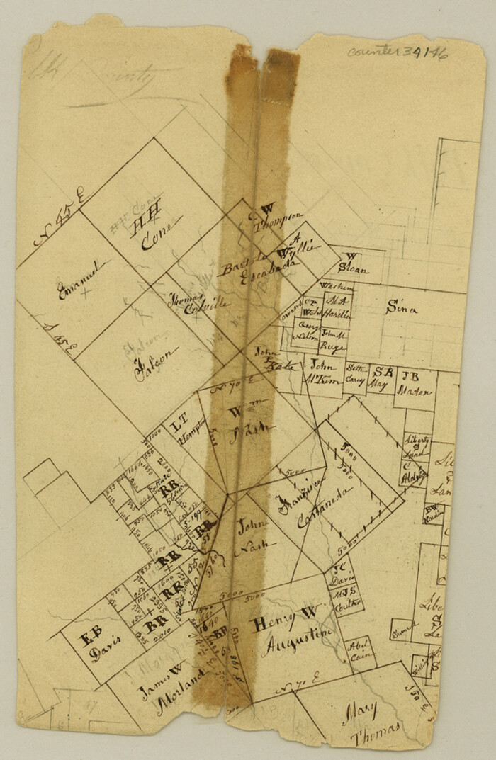
Polk County Sketch File 12

Print $4.00
- Digital $50.00
Polk County Sketch File 12
Size 9.0 x 5.8 inches
Map/Doc 34146
Sketch showing progress of topographical work Laguna Madre and vicinity from Rainey Is. to Baffins Bay, Coast of Texas Sect. IX [and accompanying letter]
![72958, Sketch showing progress of topographical work Laguna Madre and vicinity from Rainey Is. to Baffins Bay, Coast of Texas Sect. IX [and accompanying letter], General Map Collection](https://historictexasmaps.com/wmedia_w700/maps/72958.tif.jpg)
![72958, Sketch showing progress of topographical work Laguna Madre and vicinity from Rainey Is. to Baffins Bay, Coast of Texas Sect. IX [and accompanying letter], General Map Collection](https://historictexasmaps.com/wmedia_w700/maps/72958.tif.jpg)
Print $2.00
- Digital $50.00
Sketch showing progress of topographical work Laguna Madre and vicinity from Rainey Is. to Baffins Bay, Coast of Texas Sect. IX [and accompanying letter]
1881
Size 11.2 x 8.8 inches
Map/Doc 72958
Section A, Tech Memorial Park, Inc.


Print $20.00
- Digital $50.00
Section A, Tech Memorial Park, Inc.
Size 21.6 x 15.6 inches
Map/Doc 92785
[E. T. Ry. Blk. 1]
![89796, [E. T. Ry. Blk. 1], Twichell Survey Records](https://historictexasmaps.com/wmedia_w700/maps/89796-1.tif.jpg)
![89796, [E. T. Ry. Blk. 1], Twichell Survey Records](https://historictexasmaps.com/wmedia_w700/maps/89796-1.tif.jpg)
Print $40.00
- Digital $50.00
[E. T. Ry. Blk. 1]
Size 41.1 x 50.4 inches
Map/Doc 89796
Starr County Sketch File 33


Print $8.00
- Digital $50.00
Starr County Sketch File 33
1938
Size 14.3 x 8.8 inches
Map/Doc 36971
[Block H, Block 24]
![92598, [Block H, Block 24], Twichell Survey Records](https://historictexasmaps.com/wmedia_w700/maps/92598-1.tif.jpg)
![92598, [Block H, Block 24], Twichell Survey Records](https://historictexasmaps.com/wmedia_w700/maps/92598-1.tif.jpg)
Print $20.00
- Digital $50.00
[Block H, Block 24]
Size 30.2 x 17.0 inches
Map/Doc 92598
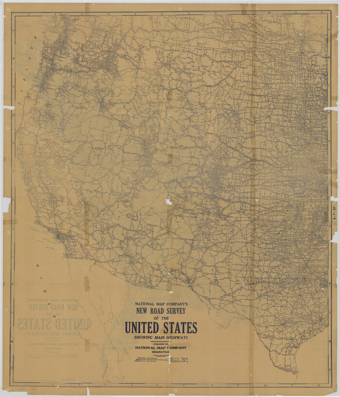
National Map Company's New Road Survey of the United States Showing Main Highways

Digital $50.00
National Map Company's New Road Survey of the United States Showing Main Highways
Size 44.5 x 38.2 inches
Map/Doc 4659
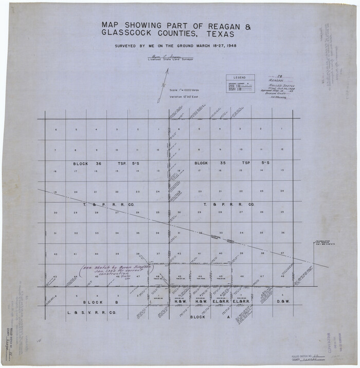
Reagan County Rolled Sketch 22

Print $20.00
- Digital $50.00
Reagan County Rolled Sketch 22
Size 33.9 x 33.1 inches
Map/Doc 9817
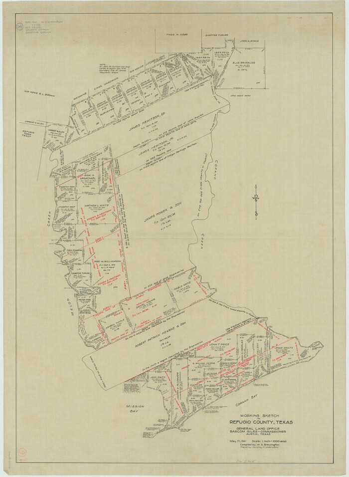
Refugio County Working Sketch 9

Print $20.00
- Digital $50.00
Refugio County Working Sketch 9
1941
Size 38.6 x 28.3 inches
Map/Doc 63518
Jones County Sketch File 5


Print $4.00
- Digital $50.00
Jones County Sketch File 5
1859
Size 10.0 x 8.1 inches
Map/Doc 28492
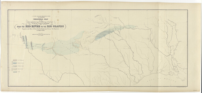
Geological Map of the route explored by Capt. Jno. Pope, Corps of Topl. Engrs. near the 32nd Parallel of North Latitude From the Red River to the Rio Grande

Print $20.00
- Digital $50.00
Geological Map of the route explored by Capt. Jno. Pope, Corps of Topl. Engrs. near the 32nd Parallel of North Latitude From the Red River to the Rio Grande
Size 11.5 x 24.7 inches
Map/Doc 95149
![89829, [Central Yates], Twichell Survey Records](https://historictexasmaps.com/wmedia_w1800h1800/maps/89829-1.tif.jpg)
