C. C. S. D. & R. G. N. G. RR. Company, Block C2]
90-17
-
Map/Doc
90780
-
Collection
Twichell Survey Records
-
People and Organizations
W.D. Twichell (Surveyor/Engineer)
-
Counties
Gray
-
Height x Width
14.0 x 21.2 inches
35.6 x 53.9 cm
Part of: Twichell Survey Records
[Sketch of 27 1/2 Acre Tract]
![92799, [Sketch of 27 1/2 Acre Tract], Twichell Survey Records](https://historictexasmaps.com/wmedia_w700/maps/92799-1.tif.jpg)
![92799, [Sketch of 27 1/2 Acre Tract], Twichell Survey Records](https://historictexasmaps.com/wmedia_w700/maps/92799-1.tif.jpg)
Print $3.00
- Digital $50.00
[Sketch of 27 1/2 Acre Tract]
1940
Size 12.4 x 9.1 inches
Map/Doc 92799
[Northeast 1/4 of County]
![91629, [Northeast 1/4 of County], Twichell Survey Records](https://historictexasmaps.com/wmedia_w700/maps/91629-1.tif.jpg)
![91629, [Northeast 1/4 of County], Twichell Survey Records](https://historictexasmaps.com/wmedia_w700/maps/91629-1.tif.jpg)
Print $2.00
- Digital $50.00
[Northeast 1/4 of County]
Size 12.3 x 9.0 inches
Map/Doc 91629
[Sections Q, L Tech Memorial Park]
![92303, [Sections Q, L Tech Memorial Park], Twichell Survey Records](https://historictexasmaps.com/wmedia_w700/maps/92303-1.tif.jpg)
![92303, [Sections Q, L Tech Memorial Park], Twichell Survey Records](https://historictexasmaps.com/wmedia_w700/maps/92303-1.tif.jpg)
Print $20.00
- Digital $50.00
[Sections Q, L Tech Memorial Park]
1956
Size 13.0 x 17.8 inches
Map/Doc 92303
[Sketch of State Capitol Leagues 615-621, 623-627, 177-209 in Lamb and Bailey Counties]
![89744, [Sketch of State Capitol Leagues 615-621, 623-627, 177-209 in Lamb and Bailey Counties], Twichell Survey Records](https://historictexasmaps.com/wmedia_w700/maps/89744-1.tif.jpg)
![89744, [Sketch of State Capitol Leagues 615-621, 623-627, 177-209 in Lamb and Bailey Counties], Twichell Survey Records](https://historictexasmaps.com/wmedia_w700/maps/89744-1.tif.jpg)
Print $40.00
- Digital $50.00
[Sketch of State Capitol Leagues 615-621, 623-627, 177-209 in Lamb and Bailey Counties]
1912
Size 71.2 x 31.5 inches
Map/Doc 89744
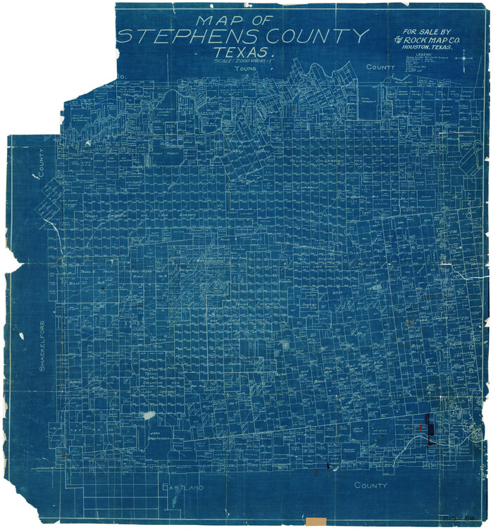
Map of Stephens County, Texas

Print $20.00
- Digital $50.00
Map of Stephens County, Texas
Size 36.8 x 40.1 inches
Map/Doc 93026
[E. L. & R. R. RR. Company, Block LC2]
![90663, [E. L. & R. R. RR. Company, Block LC2], Twichell Survey Records](https://historictexasmaps.com/wmedia_w700/maps/90663-1.tif.jpg)
![90663, [E. L. & R. R. RR. Company, Block LC2], Twichell Survey Records](https://historictexasmaps.com/wmedia_w700/maps/90663-1.tif.jpg)
Print $2.00
- Digital $50.00
[E. L. & R. R. RR. Company, Block LC2]
1907
Size 9.7 x 7.9 inches
Map/Doc 90663
Utility Map, Low Rent Housing Project Texas 18-1, Housing Authority of the City of Lubbock (Plan No. 3)


Print $20.00
- Digital $50.00
Utility Map, Low Rent Housing Project Texas 18-1, Housing Authority of the City of Lubbock (Plan No. 3)
1941
Size 42.5 x 27.3 inches
Map/Doc 92758
[PSL Block B-19]
![93127, [PSL Block B-19], Twichell Survey Records](https://historictexasmaps.com/wmedia_w700/maps/93127-1.tif.jpg)
![93127, [PSL Block B-19], Twichell Survey Records](https://historictexasmaps.com/wmedia_w700/maps/93127-1.tif.jpg)
Print $40.00
- Digital $50.00
[PSL Block B-19]
Size 49.1 x 45.5 inches
Map/Doc 93127
[Sketch showing area sued for near Block 194, Yates survey 34 1/2 and Runnels County School Land]
![91685, [Sketch showing area sued for near Block 194, Yates survey 34 1/2 and Runnels County School Land], Twichell Survey Records](https://historictexasmaps.com/wmedia_w700/maps/91685-1.tif.jpg)
![91685, [Sketch showing area sued for near Block 194, Yates survey 34 1/2 and Runnels County School Land], Twichell Survey Records](https://historictexasmaps.com/wmedia_w700/maps/91685-1.tif.jpg)
Print $20.00
- Digital $50.00
[Sketch showing area sued for near Block 194, Yates survey 34 1/2 and Runnels County School Land]
Size 17.4 x 12.5 inches
Map/Doc 91685
[Area in the vicinity of the Mary Fury survey south of H. T. & B. RR. Co. surveys 125 and 126]
![90933, [Area in the vicinity of the Mary Fury survey south of H. T. & B. RR. Co. surveys 125 and 126], Twichell Survey Records](https://historictexasmaps.com/wmedia_w700/maps/90933-1.tif.jpg)
![90933, [Area in the vicinity of the Mary Fury survey south of H. T. & B. RR. Co. surveys 125 and 126], Twichell Survey Records](https://historictexasmaps.com/wmedia_w700/maps/90933-1.tif.jpg)
Print $20.00
- Digital $50.00
[Area in the vicinity of the Mary Fury survey south of H. T. & B. RR. Co. surveys 125 and 126]
Size 13.5 x 21.7 inches
Map/Doc 90933
[Sections 63-70 Block 47 and part of Block 3]
![91792, [Sections 63-70 Block 47 and part of Block 3], Twichell Survey Records](https://historictexasmaps.com/wmedia_w700/maps/91792-1.tif.jpg)
![91792, [Sections 63-70 Block 47 and part of Block 3], Twichell Survey Records](https://historictexasmaps.com/wmedia_w700/maps/91792-1.tif.jpg)
Print $2.00
- Digital $50.00
[Sections 63-70 Block 47 and part of Block 3]
Size 8.9 x 14.5 inches
Map/Doc 91792
[Parts of Blocks Z, L, M-21, M-15, and 46]
![91831, [Parts of Blocks Z, L, M-21, M-15, and 46], Twichell Survey Records](https://historictexasmaps.com/wmedia_w700/maps/91831-1.tif.jpg)
![91831, [Parts of Blocks Z, L, M-21, M-15, and 46], Twichell Survey Records](https://historictexasmaps.com/wmedia_w700/maps/91831-1.tif.jpg)
Print $20.00
- Digital $50.00
[Parts of Blocks Z, L, M-21, M-15, and 46]
Size 21.2 x 16.7 inches
Map/Doc 91831
You may also like
Brooks County Working Sketch 14


Print $20.00
- Digital $50.00
Brooks County Working Sketch 14
1944
Size 29.2 x 20.0 inches
Map/Doc 67798
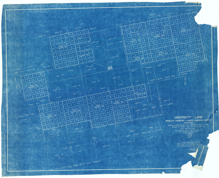
University Land, Winkler-Andrews-Gaines-Dawson-Martin Counties

Print $40.00
- Digital $50.00
University Land, Winkler-Andrews-Gaines-Dawson-Martin Counties
1931
Size 42.3 x 52.1 inches
Map/Doc 2419
Cottle County Working Sketch 19


Print $20.00
- Digital $50.00
Cottle County Working Sketch 19
1978
Size 33.2 x 29.3 inches
Map/Doc 68329
Hale County Rolled Sketch 8


Print $20.00
- Digital $50.00
Hale County Rolled Sketch 8
1910
Size 38.0 x 25.9 inches
Map/Doc 6046
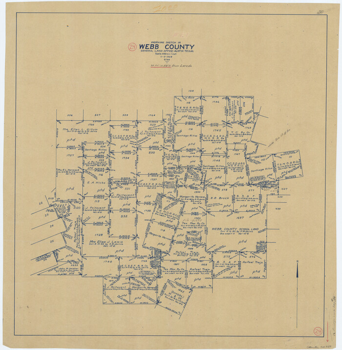
Webb County Working Sketch 24

Print $20.00
- Digital $50.00
Webb County Working Sketch 24
1928
Size 24.5 x 23.9 inches
Map/Doc 72389
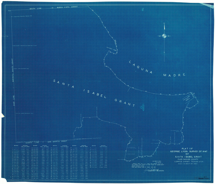
Cameron County Rolled Sketch Z5

Print $20.00
- Digital $50.00
Cameron County Rolled Sketch Z5
1937
Size 28.7 x 33.6 inches
Map/Doc 5403
Jefferson County Sketch File 42
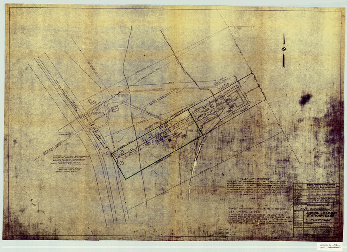

Print $20.00
- Digital $50.00
Jefferson County Sketch File 42
1945
Size 25.5 x 35.1 inches
Map/Doc 11876
Map of Madison County
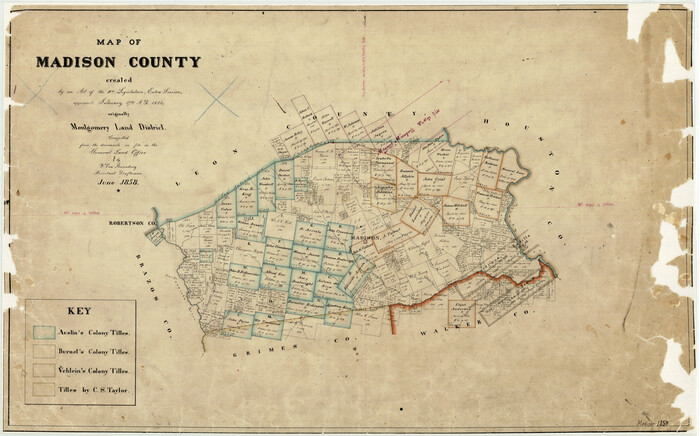

Print $20.00
- Digital $50.00
Map of Madison County
1858
Size 19.8 x 31.7 inches
Map/Doc 3834
Map of Block 1, H. & G. N. Railroad Company
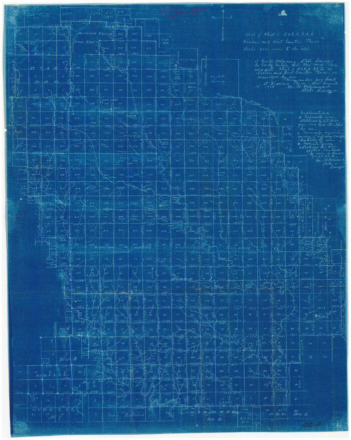

Print $20.00
- Digital $50.00
Map of Block 1, H. & G. N. Railroad Company
1909
Size 24.0 x 30.1 inches
Map/Doc 91017
Map of Falls County


Print $20.00
- Digital $50.00
Map of Falls County
1874
Size 19.8 x 22.6 inches
Map/Doc 3530
Orange County Rolled Sketch 22
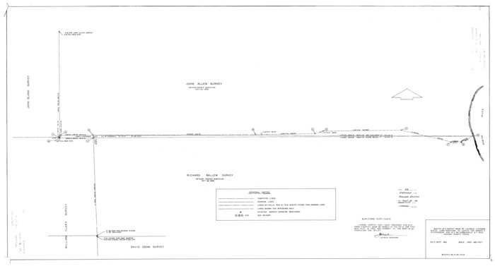

Print $40.00
- Digital $50.00
Orange County Rolled Sketch 22
1950
Size 31.2 x 58.0 inches
Map/Doc 9647
![90780, C. C. S. D. & R. G. N. G. RR. Company, Block C2], Twichell Survey Records](https://historictexasmaps.com/wmedia_w1800h1800/maps/90780-1.tif.jpg)
