Goliad County
-
Map/Doc
3590
-
Collection
General Map Collection
-
Object Dates
1873 (Creation Date)
-
People and Organizations
L. Klappenbach (Draftsman)
Herman Lungkwitz (Draftsman)
F.H. Arlitt (Compiler)
-
Counties
Goliad
-
Subjects
County
-
Height x Width
18.1 x 18.4 inches
46.0 x 46.7 cm
-
Comments
Compiled in 1871; drawn in 1873.
-
Features
La Bahia
[Road] to Helena
18 Miles Creek
Richland Creek
Blanco Creek
Miller's Creek
Nuguerra Creek
Cadena Creek
Manahuilla Creek
[Road] to Guadalupe
[Road] to San Patricio
[Road] to Mier
[Road] to Victoria
[Road] to Clinton
[Road] to Yorktown
West Fork of Coleto Creek
Goliad
[Road] to Oakville
Cabeza Creek
San Antonio River
Hord Creek
Perdido Creek
Turkey Creek
Little Perdido Creek
Kilgore Creek
Rock Creek
Coleto Creek
Hosier Creek
West Fork of 18 Miles Creek
Part of: General Map Collection
Winkler County Working Sketch 13
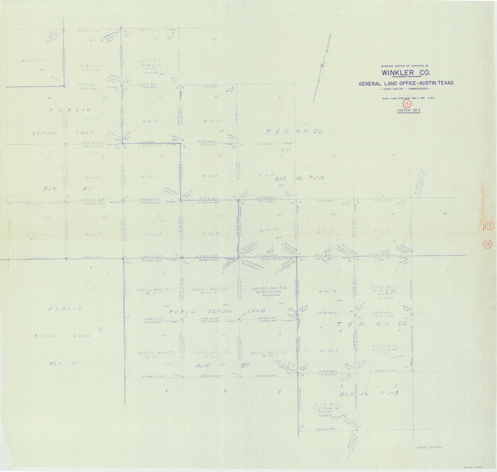

Print $20.00
- Digital $50.00
Winkler County Working Sketch 13
1961
Size 39.2 x 41.2 inches
Map/Doc 72607
Map of Lampasas County


Print $20.00
- Digital $50.00
Map of Lampasas County
1864
Size 20.5 x 24.8 inches
Map/Doc 3793
Liberty County Sketch File 31
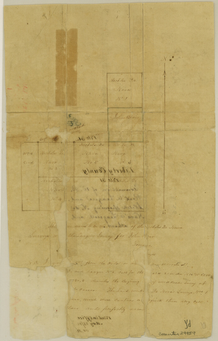

Print $4.00
- Digital $50.00
Liberty County Sketch File 31
Size 12.1 x 7.7 inches
Map/Doc 29959
Flight Mission No. DIX-10P, Frame 63, Aransas County
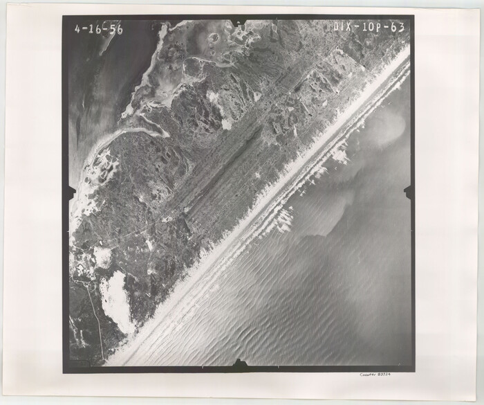

Print $20.00
- Digital $50.00
Flight Mission No. DIX-10P, Frame 63, Aransas County
1956
Size 18.7 x 22.3 inches
Map/Doc 83924
Harris County Sketch File 99


Print $10.00
- Digital $50.00
Harris County Sketch File 99
1896
Size 14.5 x 8.9 inches
Map/Doc 25669
Jefferson County NRC Article 33.136 Sketch 14
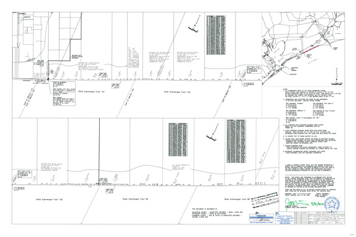

Print $164.00
- Digital $50.00
Jefferson County NRC Article 33.136 Sketch 14
2021
Map/Doc 96645
Matagorda County Working Sketch 1


Print $20.00
- Digital $50.00
Matagorda County Working Sketch 1
Size 24.1 x 17.1 inches
Map/Doc 70859
Morris County Rolled Sketch 2A
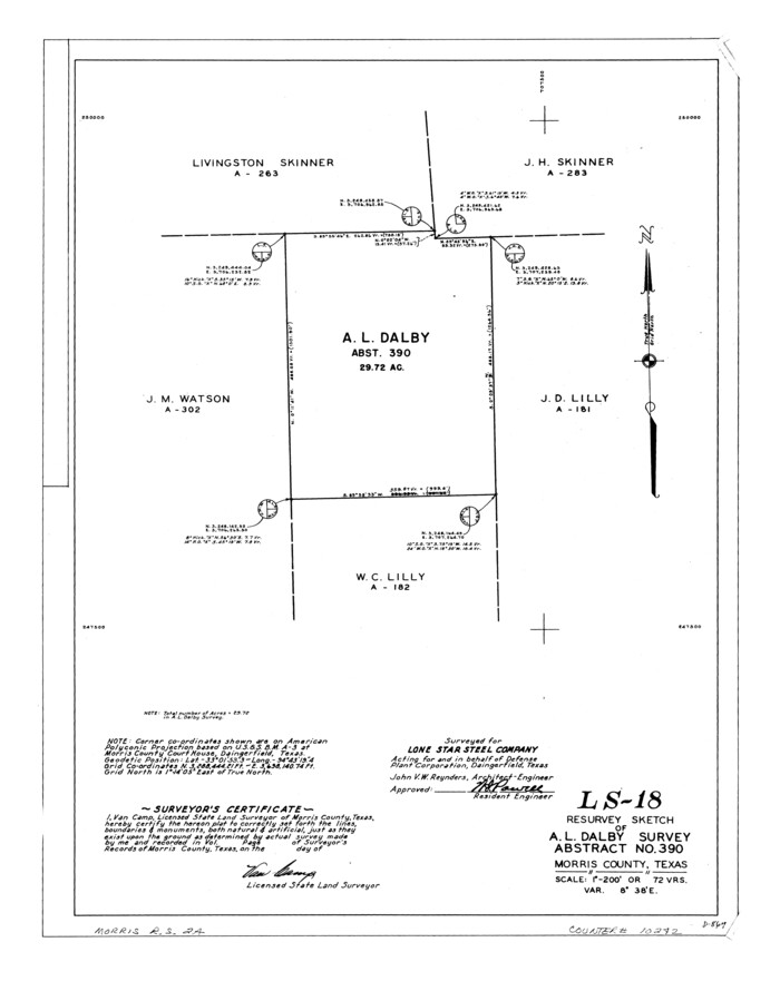

Print $20.00
- Digital $50.00
Morris County Rolled Sketch 2A
Size 24.3 x 19.1 inches
Map/Doc 10242
Fractional Township No. 7 South Range No. 1 West of the Indian Meridian, Indian Territory
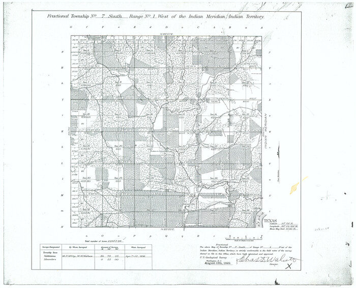

Print $4.00
- Digital $50.00
Fractional Township No. 7 South Range No. 1 West of the Indian Meridian, Indian Territory
1898
Size 18.1 x 22.4 inches
Map/Doc 75145
Reeves County Sketch File 17


Print $40.00
- Digital $50.00
Reeves County Sketch File 17
1943
Size 9.9 x 19.4 inches
Map/Doc 35208
[Old Surveys, Robertson Colony in Milam County]
![78268, [Old Surveys, Robertson Colony in Milam County], General Map Collection](https://historictexasmaps.com/wmedia_w700/maps/78268.tif.jpg)
![78268, [Old Surveys, Robertson Colony in Milam County], General Map Collection](https://historictexasmaps.com/wmedia_w700/maps/78268.tif.jpg)
Print $20.00
- Digital $50.00
[Old Surveys, Robertson Colony in Milam County]
Size 12.2 x 15.6 inches
Map/Doc 78268
Webb County Rolled Sketch 72
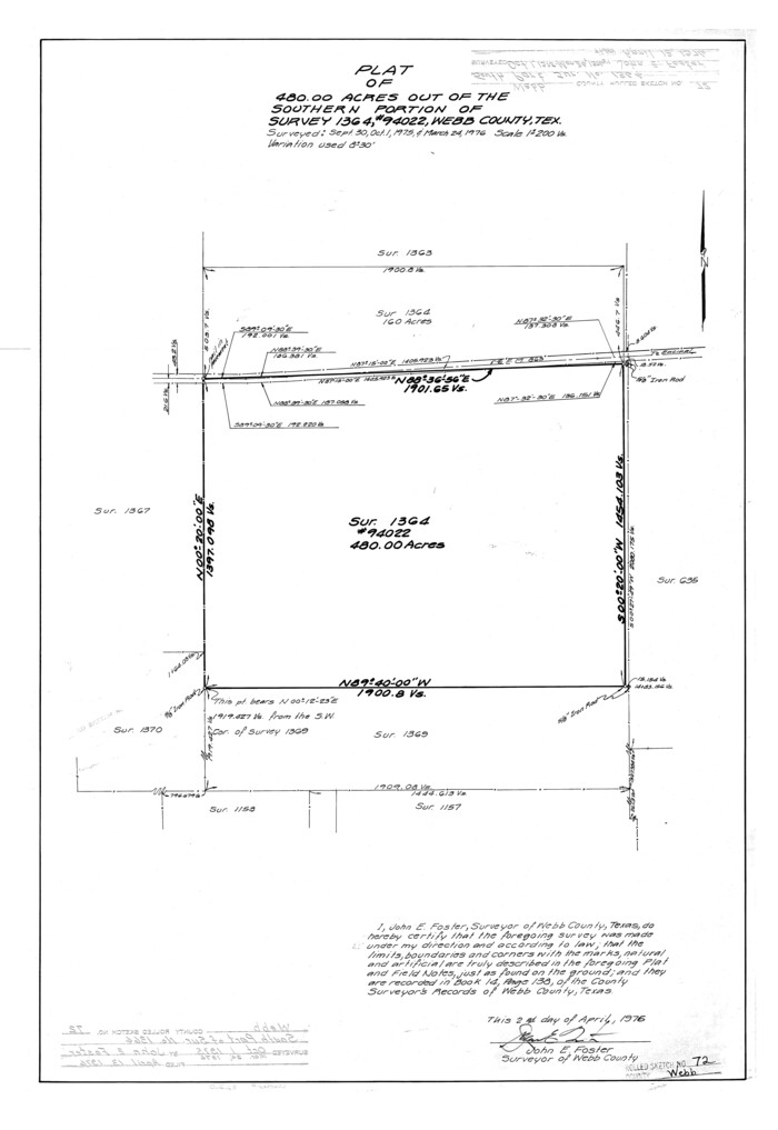

Print $20.00
- Digital $50.00
Webb County Rolled Sketch 72
1976
Size 25.5 x 17.5 inches
Map/Doc 8220
You may also like
Flight Mission No. CGI-1N, Frame 177, Cameron County


Print $20.00
- Digital $50.00
Flight Mission No. CGI-1N, Frame 177, Cameron County
1955
Size 18.5 x 17.6 inches
Map/Doc 84512
The Republic County of Brazoria. December 16, 1839
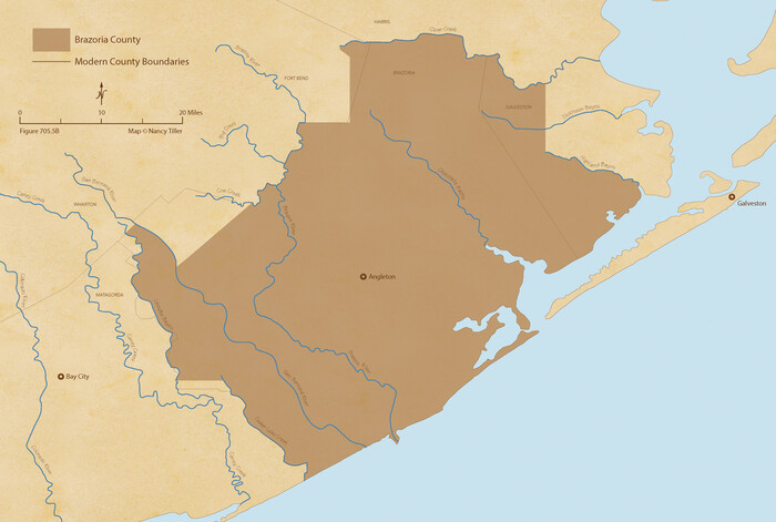

Print $20.00
The Republic County of Brazoria. December 16, 1839
2020
Size 14.7 x 21.8 inches
Map/Doc 96113
Flight Mission No. CRK-8P, Frame 97, Refugio County
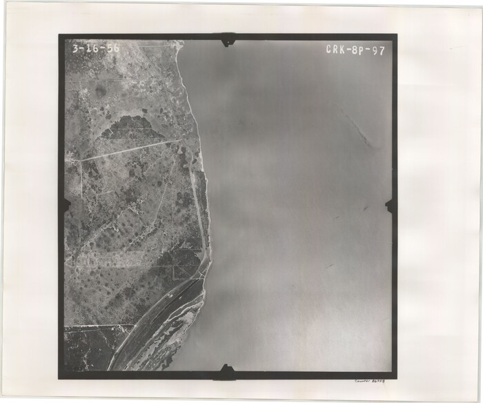

Print $20.00
- Digital $50.00
Flight Mission No. CRK-8P, Frame 97, Refugio County
1956
Size 18.5 x 22.1 inches
Map/Doc 86958
Shelby County Sketch File 26
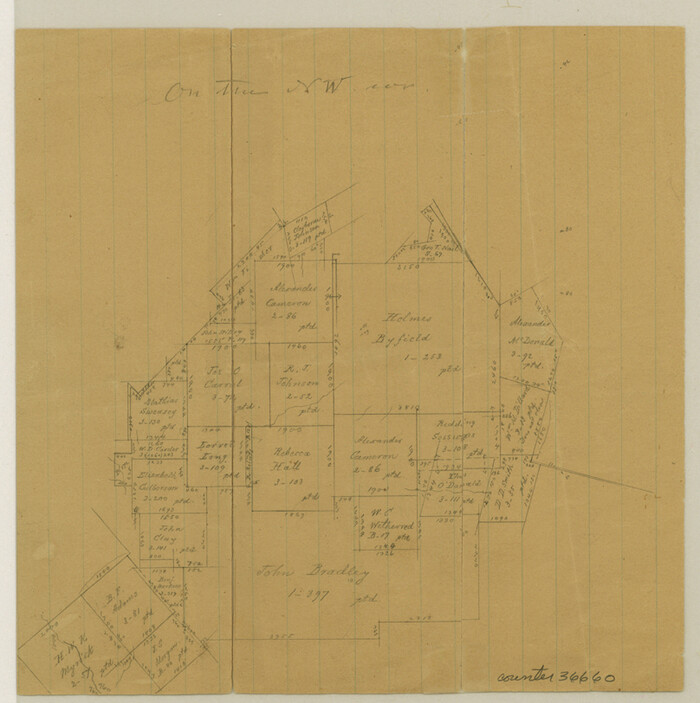

Print $4.00
- Digital $50.00
Shelby County Sketch File 26
Size 8.1 x 8.1 inches
Map/Doc 36660
Wise County Sketch File 26

Print $22.00
- Digital $50.00
Wise County Sketch File 26
1855
Size 8.1 x 14.3 inches
Map/Doc 40574
Garza County Sketch File 21


Print $4.00
- Digital $50.00
Garza County Sketch File 21
1906
Size 14.4 x 8.7 inches
Map/Doc 24078
Anderson County Sketch File 9


Print $8.00
- Digital $50.00
Anderson County Sketch File 9
Size 12.5 x 8.2 inches
Map/Doc 12761
Webb County Sketch File 18
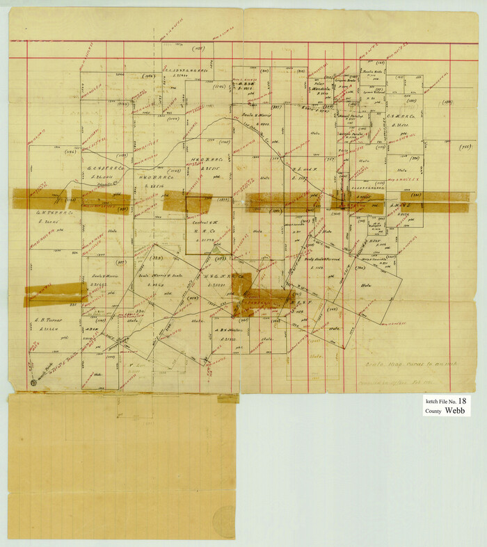

Print $20.00
- Digital $50.00
Webb County Sketch File 18
1886
Size 19.9 x 17.7 inches
Map/Doc 12637
Matagorda County Boundary File 1
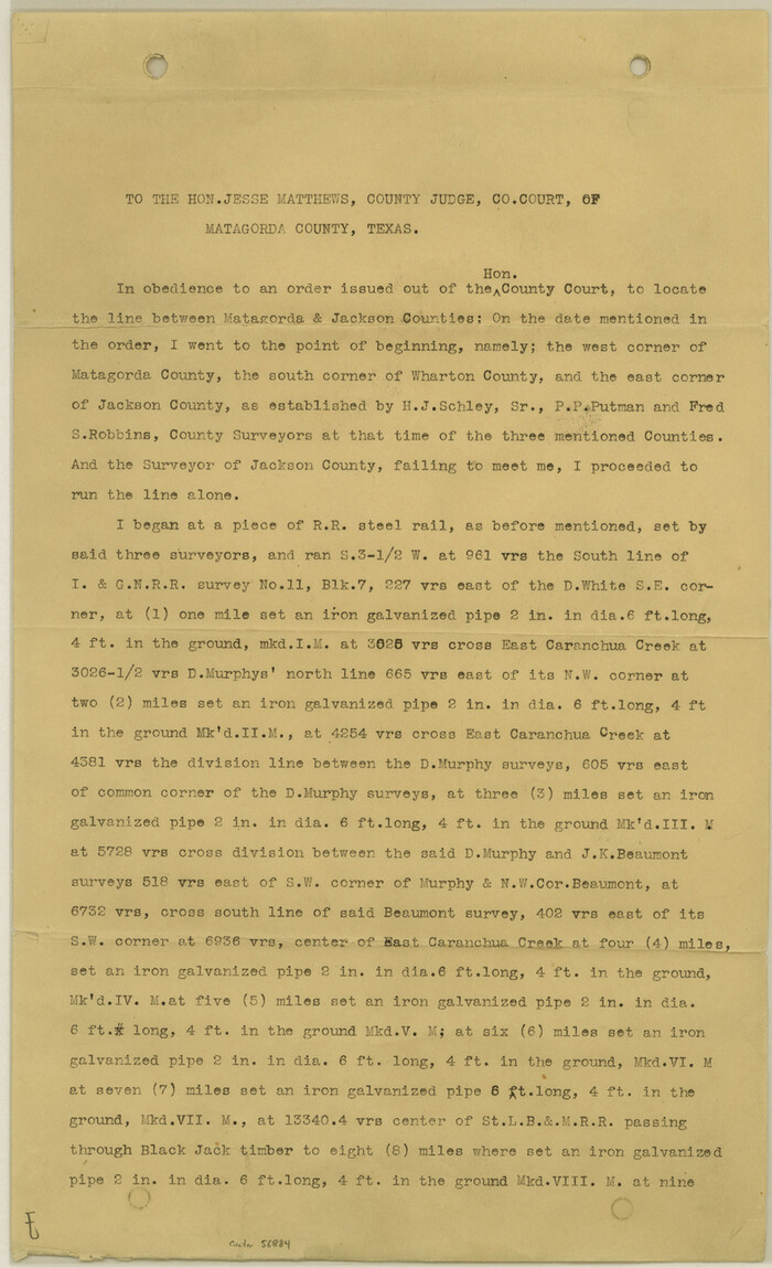

Print $10.00
- Digital $50.00
Matagorda County Boundary File 1
Size 14.1 x 8.6 inches
Map/Doc 56884
Lubbock County Boundary File 7


Print $40.00
- Digital $50.00
Lubbock County Boundary File 7
Size 20.6 x 5.8 inches
Map/Doc 56523
Flight Mission No. BRA-17M, Frame 8, Jefferson County


Print $20.00
- Digital $50.00
Flight Mission No. BRA-17M, Frame 8, Jefferson County
1953
Size 18.6 x 22.3 inches
Map/Doc 85789
Coke County Boundary File 5


Print $36.00
- Digital $50.00
Coke County Boundary File 5
Size 7.7 x 37.9 inches
Map/Doc 51606
