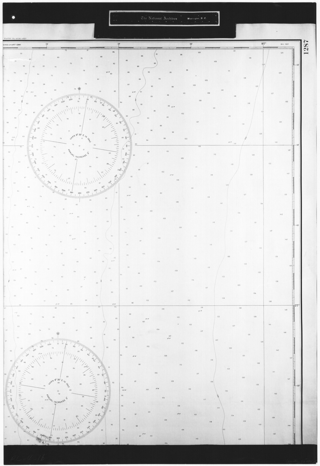
United States - Gulf Coast Texas - Northern part of Laguna Madre
RL-4-1b
-
Map/Doc
72934
-
Collection
General Map Collection
-
Object Dates
1941 (Creation Date)
-
People and Organizations
U. S. Coast and Geodetic Survey (Publisher)
U. S. Coast and Geodetic Survey (Author)
-
Subjects
Nautical Charts
-
Height x Width
26.7 x 18.3 inches
67.8 x 46.5 cm
-
Comments
B/W photostat copy from National Archives in multiple pieces.
Part of: General Map Collection
Controlled Mosaic by Jack Amman Photogrammetric Engineers, Inc - Sheet 55

Print $20.00
- Digital $50.00
Controlled Mosaic by Jack Amman Photogrammetric Engineers, Inc - Sheet 55
1954
Size 20.0 x 24.0 inches
Map/Doc 83514
Grayson County Sketch File 10

Print $4.00
- Digital $50.00
Grayson County Sketch File 10
1851
Size 12.1 x 7.9 inches
Map/Doc 24474
Coleman County Sketch File 10a

Print $24.00
- Digital $50.00
Coleman County Sketch File 10a
1859
Size 12.4 x 8.1 inches
Map/Doc 18678
Fractional Township No. 8 South Range No. 16 East of the Indian Meridian, Indian Territory

Print $20.00
- Digital $50.00
Fractional Township No. 8 South Range No. 16 East of the Indian Meridian, Indian Territory
1896
Size 19.3 x 24.3 inches
Map/Doc 75228
Robertson County Working Sketch 1

Print $20.00
- Digital $50.00
Robertson County Working Sketch 1
1923
Size 26.2 x 36.6 inches
Map/Doc 63574

Zavala County Sketch File A

Print $10.00
- Digital $50.00
Zavala County Sketch File A
1893
Size 8.7 x 7.9 inches
Map/Doc 41433
Harris County NRC Article 33.136 Sketch 7

Print $20.00
- Digital $50.00
Harris County NRC Article 33.136 Sketch 7
2004
Size 24.3 x 18.5 inches
Map/Doc 82991
Coke County Rolled Sketch 25

Print $20.00
- Digital $50.00
Coke County Rolled Sketch 25
1974
Size 24.9 x 24.3 inches
Map/Doc 5525
Montgomery County Rolled Sketch 51

Print $20.00
- Digital $50.00
Montgomery County Rolled Sketch 51
2021
Map/Doc 97369
Flight Mission No. CUG-1P, Frame 83, Kleberg County

Print $20.00
- Digital $50.00
Flight Mission No. CUG-1P, Frame 83, Kleberg County
1956
Size 18.5 x 22.2 inches
Map/Doc 86148
Borden County Working Sketch 14

Print $20.00
- Digital $50.00
Borden County Working Sketch 14
1959
Size 27.8 x 25.2 inches
Map/Doc 67474
You may also like
Cherokee County Sketch File 37

Print $40.00
- Digital $50.00
Cherokee County Sketch File 37
1978
Size 11.2 x 8.7 inches
Map/Doc 18225
Wise County Rolled Sketch 9

Print $20.00
- Digital $50.00
Wise County Rolled Sketch 9
Size 35.2 x 24.2 inches
Map/Doc 93640
Tom Green County Boundary File 87

Print $10.00
- Digital $50.00
Tom Green County Boundary File 87
Size 9.1 x 4.0 inches
Map/Doc 59393
General Highway Map, Duval County, Texas

Print $20.00
General Highway Map, Duval County, Texas
1940
Size 18.5 x 25.0 inches
Map/Doc 79079
Atascosa County Rolled Sketch 21

Print $20.00
- Digital $50.00
Atascosa County Rolled Sketch 21
1958
Size 25.0 x 38.0 inches
Map/Doc 5100
Map of Lampasas County, Texas

Print $20.00
- Digital $50.00
Map of Lampasas County, Texas
1879
Size 23.4 x 28.4 inches
Map/Doc 560
Right of Way Track Map, Wichita Falls & Southern Railroad Company

Print $40.00
- Digital $50.00
Right of Way Track Map, Wichita Falls & Southern Railroad Company
1942
Size 24.5 x 56.1 inches
Map/Doc 64514
Map of Texas from the most recent authorities

Print $20.00
Map of Texas from the most recent authorities
1845
Size 13.5 x 17.1 inches
Map/Doc 94574
Maps of Gulf Intracoastal Waterway, Texas - Sabine River to the Rio Grande and connecting waterways including ship channels

Print $20.00
- Digital $50.00
Maps of Gulf Intracoastal Waterway, Texas - Sabine River to the Rio Grande and connecting waterways including ship channels
1966
Size 14.6 x 22.3 inches
Map/Doc 61957
Erath County Boundary File 1

Print $8.00
- Digital $50.00
Erath County Boundary File 1
Size 13.1 x 8.8 inches
Map/Doc 53237
Newton County Working Sketch 16

Print $20.00
- Digital $50.00
Newton County Working Sketch 16
1950
Size 15.8 x 15.5 inches
Map/Doc 71262
Archer County Rolled Sketch 9

Print $20.00
- Digital $50.00
Archer County Rolled Sketch 9
1891
Size 35.9 x 30.6 inches
Map/Doc 5104