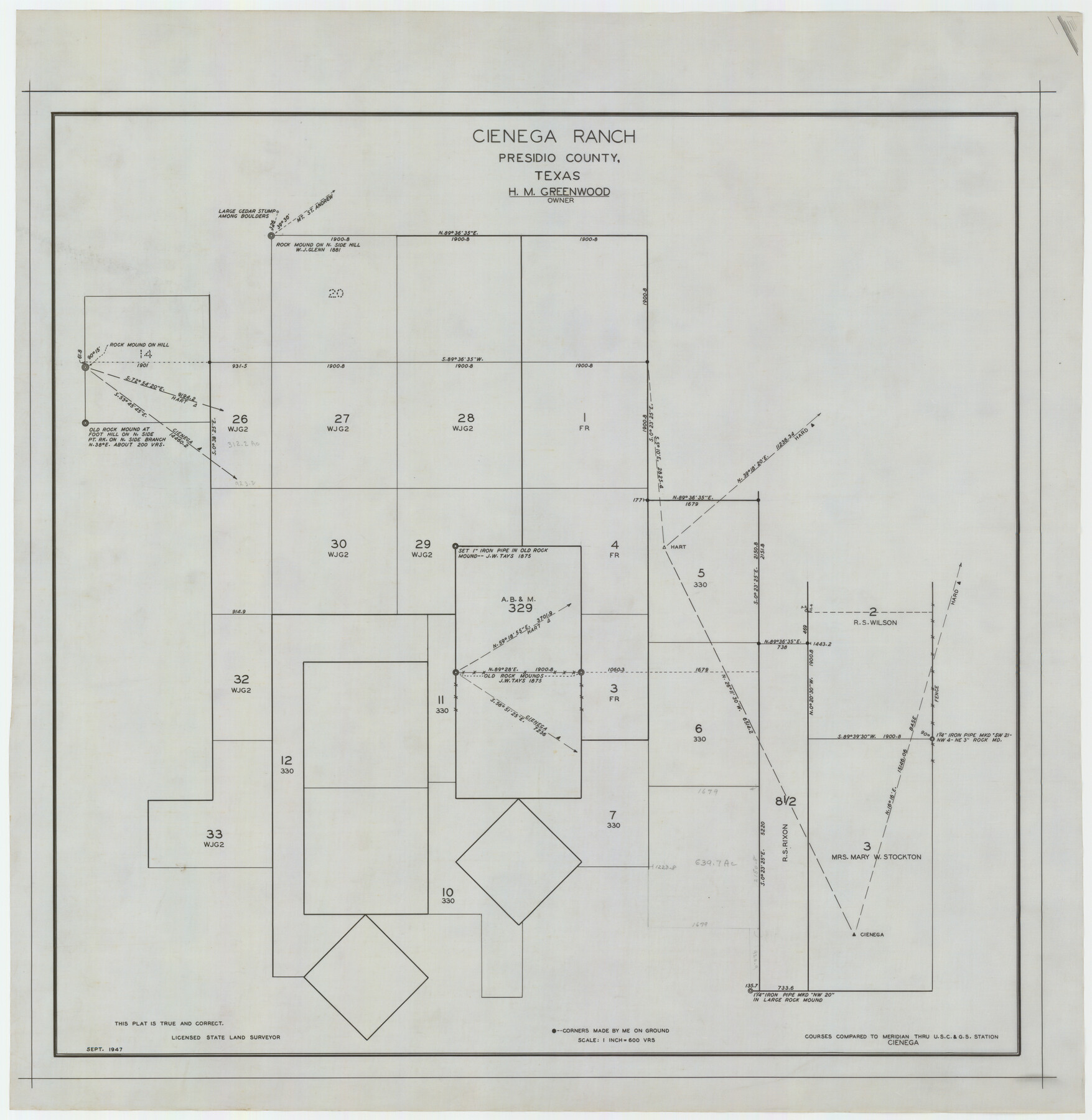
Cienega Ranch
-
Map/Doc
92323
-
Collection
Twichell Survey Records
-
Object Dates
9/1947 (Creation Date)
-
People and Organizations
Sylvan Sanders (Surveyor/Engineer)
-
Counties
Presidio
-
Height x Width
27.6 x 28.3 inches
70.1 x 71.9 cm
Part of: Twichell Survey Records
[Leagues 615 ,616, and 242]
![91064, [Leagues 615 ,616, and 242], Twichell Survey Records](https://historictexasmaps.com/wmedia_w700/maps/91064-1.tif.jpg)
Print $20.00
- Digital $50.00
[Leagues 615 ,616, and 242]
Size 12.9 x 13.5 inches
Map/Doc 91064
Tascotal Mesa Quadrangle

Print $20.00
- Digital $50.00
Tascotal Mesa Quadrangle
1917
Size 17.0 x 20.7 inches
Map/Doc 90134
Map of Capitol Syndicate Subdivisions of Capitol Land Reservation Leagues

Print $40.00
- Digital $50.00
Map of Capitol Syndicate Subdivisions of Capitol Land Reservation Leagues
1906
Size 44.6 x 72.6 inches
Map/Doc 93131
[Sketch of Blocks D5-D8]
![93046, [Sketch of Blocks D5-D8], Twichell Survey Records](https://historictexasmaps.com/wmedia_w700/maps/93046-1.tif.jpg)
Print $20.00
- Digital $50.00
[Sketch of Blocks D5-D8]
Size 43.1 x 28.3 inches
Map/Doc 93046
[Mrs. May Vinson Survey]
![91877, [Mrs. May Vinson Survey], Twichell Survey Records](https://historictexasmaps.com/wmedia_w700/maps/91877-1.tif.jpg)
Print $20.00
- Digital $50.00
[Mrs. May Vinson Survey]
Size 26.7 x 14.8 inches
Map/Doc 91877
Subdivision of Sutton County School League 175. Bailey County, Texas

Print $2.00
- Digital $50.00
Subdivision of Sutton County School League 175. Bailey County, Texas
1929
Size 9.1 x 11.5 inches
Map/Doc 90278
[Lynn County School Land Leagues 292, 293, PSL Block C-30, and D. W. RR. Co. Block H]
![90797, [Lynn County School Land Leagues 292, 293, PSL Block C-30, and D. W. RR. Co. Block H], Twichell Survey Records](https://historictexasmaps.com/wmedia_w700/maps/90797-1.tif.jpg)
Print $20.00
- Digital $50.00
[Lynn County School Land Leagues 292, 293, PSL Block C-30, and D. W. RR. Co. Block H]
Size 21.3 x 20.6 inches
Map/Doc 90797
Yates Pool, Pecos County, Texas

Print $20.00
- Digital $50.00
Yates Pool, Pecos County, Texas
1920
Size 17.5 x 15.7 inches
Map/Doc 91564
![91461, [Block B7], Twichell Survey Records](https://historictexasmaps.com/wmedia_w700/maps/91461-1.tif.jpg)
[H. & G. N. RR. Co. Blks. 1 & 2]
![89771, [H. & G. N. RR. Co. Blks. 1 & 2], Twichell Survey Records](https://historictexasmaps.com/wmedia_w700/maps/89771-1.tif.jpg)
Print $20.00
- Digital $50.00
[H. & G. N. RR. Co. Blks. 1 & 2]
Size 40.9 x 46.6 inches
Map/Doc 89771
Sketch T [showing Capitol Reserve]
![89631, Sketch T [showing Capitol Reserve], Twichell Survey Records](https://historictexasmaps.com/wmedia_w700/maps/89631-1.tif.jpg)
Print $40.00
- Digital $50.00
Sketch T [showing Capitol Reserve]
1903
Size 22.0 x 48.9 inches
Map/Doc 89631
Land for Sale or Lease in Garza and Crosby County, 13 miles S 10° W from center of Crosby County

Print $2.00
- Digital $50.00
Land for Sale or Lease in Garza and Crosby County, 13 miles S 10° W from center of Crosby County
Size 9.0 x 14.3 inches
Map/Doc 90367
You may also like
Knox County Sketch File 2

Print $40.00
- Digital $50.00
Knox County Sketch File 2
1872
Size 26.5 x 38.0 inches
Map/Doc 76758
Cherokee County Working Sketch 27

Print $40.00
- Digital $50.00
Cherokee County Working Sketch 27
1982
Size 42.9 x 59.1 inches
Map/Doc 67982
Henderson County Working Sketch 42

Print $20.00
- Digital $50.00
Henderson County Working Sketch 42
1990
Size 23.5 x 24.6 inches
Map/Doc 66175
Flight Mission No. BQY-14M, Frame 183, Harris County

Print $20.00
- Digital $50.00
Flight Mission No. BQY-14M, Frame 183, Harris County
1953
Size 18.5 x 22.4 inches
Map/Doc 85299
Ector County Sketch File 10

Print $8.00
- Digital $50.00
Ector County Sketch File 10
1930
Size 11.6 x 9.0 inches
Map/Doc 21639

[Central Part of County, near Morris County School Land Leagues]
![90486, [Central Part of County, near Morris County School Land Leagues], Twichell Survey Records](https://historictexasmaps.com/wmedia_w700/maps/90486-1.tif.jpg)
Print $20.00
- Digital $50.00
[Central Part of County, near Morris County School Land Leagues]
Size 13.4 x 26.3 inches
Map/Doc 90486
Henderson County Sketch File 17

Print $40.00
- Digital $50.00
Henderson County Sketch File 17
Size 14.2 x 14.6 inches
Map/Doc 26361
Brazos Santiago

Print $20.00
- Digital $50.00
Brazos Santiago
1884
Size 24.4 x 18.2 inches
Map/Doc 73030
Soash-White Industrial Properties

Print $20.00
- Digital $50.00
Soash-White Industrial Properties
Size 37.4 x 24.9 inches
Map/Doc 92776
Eastland County Rolled Sketch 19

Print $20.00
- Digital $50.00
Eastland County Rolled Sketch 19
1980
Size 28.9 x 30.9 inches
Map/Doc 8825
