[Sketch showing B. S. & F. Block 9 and vicinity]
188-24
-
Map/Doc
89786
-
Collection
Twichell Survey Records
-
Counties
Potter
-
Height x Width
39.0 x 47.6 inches
99.1 x 120.9 cm
Part of: Twichell Survey Records
Hill Ranch, Gaines County, Texas


Print $20.00
- Digital $50.00
Hill Ranch, Gaines County, Texas
1951
Size 21.2 x 16.6 inches
Map/Doc 92680
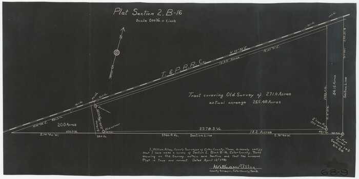
Plat Section 2, Block B-16

Print $20.00
- Digital $50.00
Plat Section 2, Block B-16
1930
Size 19.0 x 9.8 inches
Map/Doc 90802
[Sections 58 through 95]
![92478, [Sections 58 through 95], Twichell Survey Records](https://historictexasmaps.com/wmedia_w700/maps/92478-1.tif.jpg)
![92478, [Sections 58 through 95], Twichell Survey Records](https://historictexasmaps.com/wmedia_w700/maps/92478-1.tif.jpg)
Print $20.00
- Digital $50.00
[Sections 58 through 95]
Size 23.9 x 19.5 inches
Map/Doc 92478
Subdivision of Nelson W. Willard's Lands


Print $3.00
- Digital $50.00
Subdivision of Nelson W. Willard's Lands
Size 15.0 x 10.8 inches
Map/Doc 92448
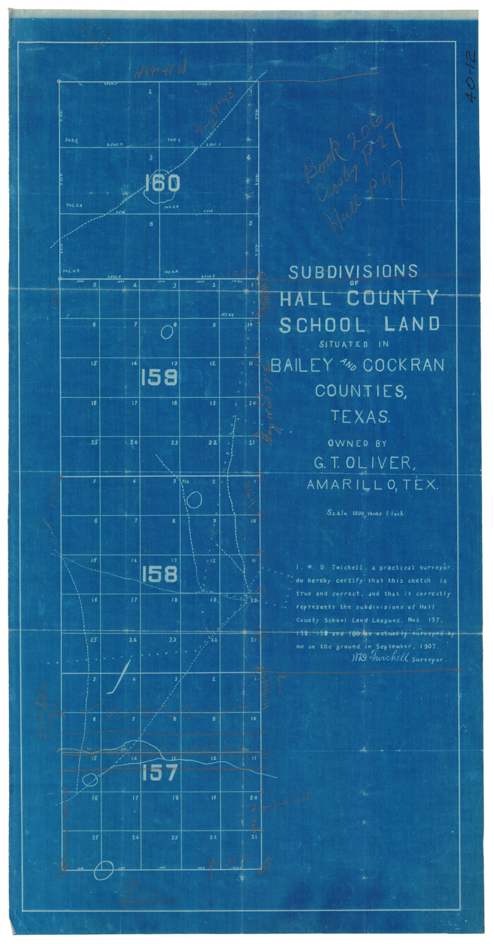
Subdivisions of Hall County School Land situated in Bailey and Cockran (sic) Counties, Texas owned by G. T. Oliver, Amarillo, Tex.

Print $2.00
- Digital $50.00
Subdivisions of Hall County School Land situated in Bailey and Cockran (sic) Counties, Texas owned by G. T. Oliver, Amarillo, Tex.
1907
Size 8.3 x 15.8 inches
Map/Doc 90442
This is a true copy of Peck's field book No. 7 pages 22 to 27, except classification of lands


Print $40.00
- Digital $50.00
This is a true copy of Peck's field book No. 7 pages 22 to 27, except classification of lands
Size 5.4 x 54.2 inches
Map/Doc 89726
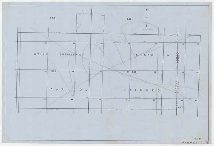
Brazos River Conservation and Reclamation District Official Boundary Line Survey, Parmer County

Print $20.00
- Digital $50.00
Brazos River Conservation and Reclamation District Official Boundary Line Survey, Parmer County
Size 24.6 x 16.8 inches
Map/Doc 91657
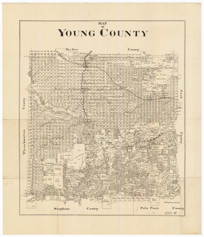
Map of Young County

Print $20.00
- Digital $50.00
Map of Young County
Size 25.6 x 29.8 inches
Map/Doc 92023
[T. & P. Block 35, Townships 4N and 5N]
![90629, [T. & P. Block 35, Townships 4N and 5N], Twichell Survey Records](https://historictexasmaps.com/wmedia_w700/maps/90629-1.tif.jpg)
![90629, [T. & P. Block 35, Townships 4N and 5N], Twichell Survey Records](https://historictexasmaps.com/wmedia_w700/maps/90629-1.tif.jpg)
Print $20.00
- Digital $50.00
[T. & P. Block 35, Townships 4N and 5N]
Size 26.3 x 34.7 inches
Map/Doc 90629
[University Lands Blocks 16-18]
![91568, [University Lands Blocks 16-18], Twichell Survey Records](https://historictexasmaps.com/wmedia_w700/maps/91568-1.tif.jpg)
![91568, [University Lands Blocks 16-18], Twichell Survey Records](https://historictexasmaps.com/wmedia_w700/maps/91568-1.tif.jpg)
Print $20.00
- Digital $50.00
[University Lands Blocks 16-18]
Size 18.5 x 12.7 inches
Map/Doc 91568
Block 1 H&GN RR Co.


Print $20.00
- Digital $50.00
Block 1 H&GN RR Co.
Size 39.3 x 40.3 inches
Map/Doc 89769
[East-Central Crosby County]
![90503, [East-Central Crosby County], Twichell Survey Records](https://historictexasmaps.com/wmedia_w700/maps/90503-1.tif.jpg)
![90503, [East-Central Crosby County], Twichell Survey Records](https://historictexasmaps.com/wmedia_w700/maps/90503-1.tif.jpg)
Print $2.00
- Digital $50.00
[East-Central Crosby County]
Size 11.4 x 6.0 inches
Map/Doc 90503
You may also like
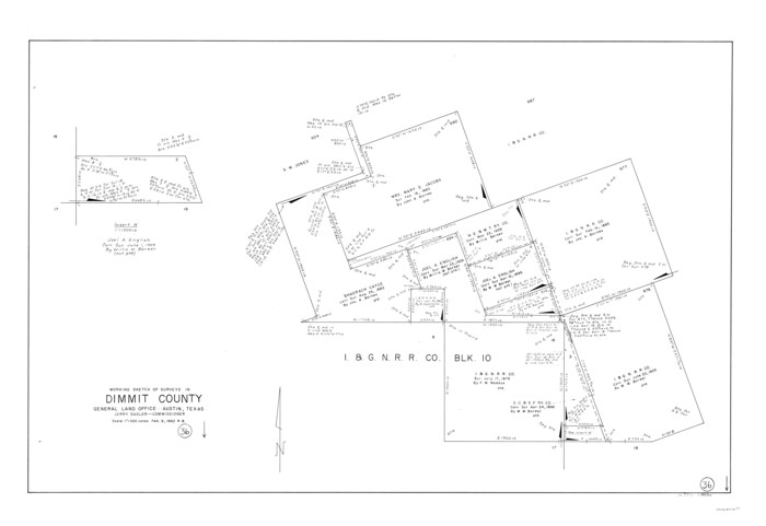
Dimmit County Working Sketch 36

Print $20.00
- Digital $50.00
Dimmit County Working Sketch 36
1962
Size 28.0 x 40.7 inches
Map/Doc 68697
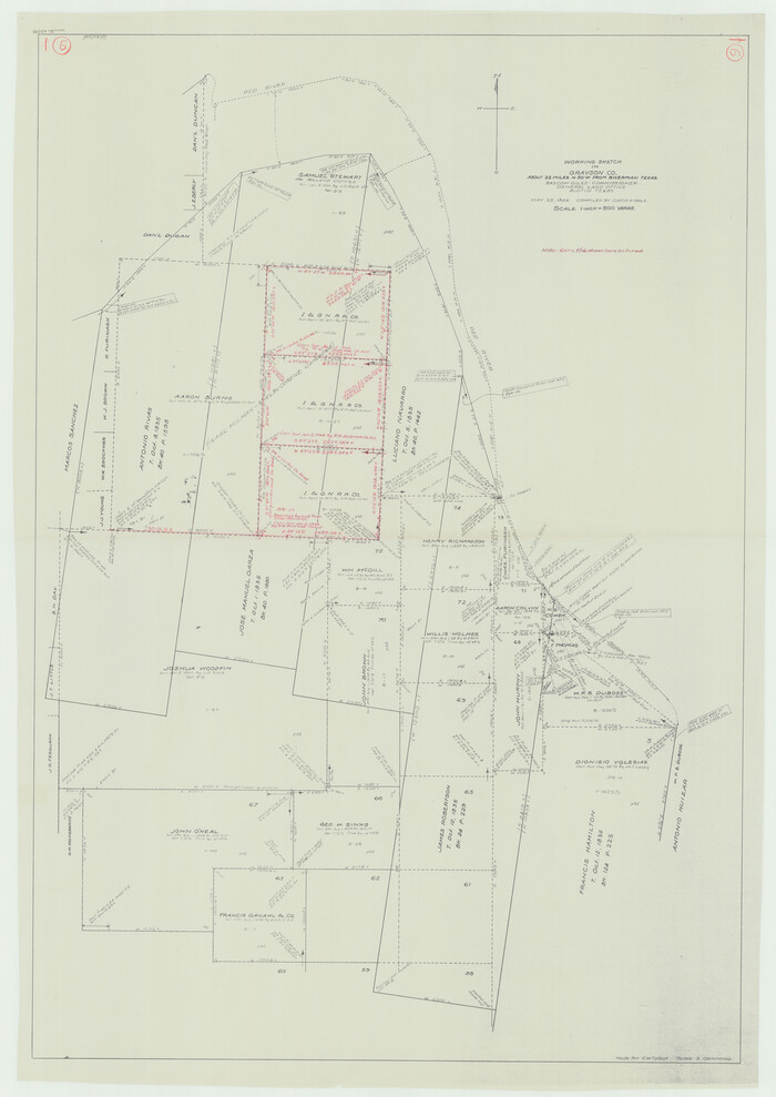
Grayson County Working Sketch 9

Print $20.00
- Digital $50.00
Grayson County Working Sketch 9
1946
Size 44.8 x 31.7 inches
Map/Doc 63248
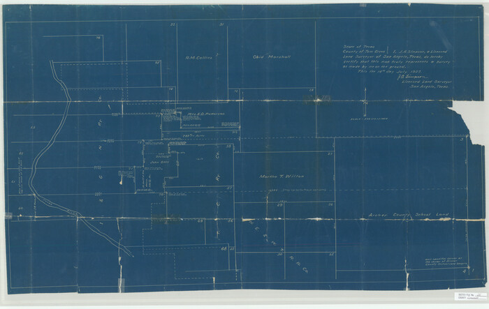
Crockett County Sketch File 65

Print $20.00
- Digital $50.00
Crockett County Sketch File 65
1927
Size 23.2 x 36.6 inches
Map/Doc 11230
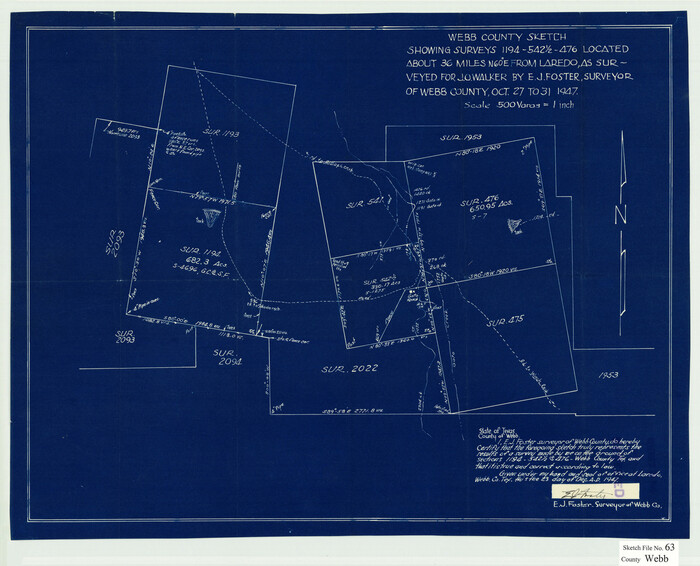
Webb County Sketch File 63

Print $20.00
- Digital $50.00
Webb County Sketch File 63
1947
Size 17.2 x 21.2 inches
Map/Doc 12653
General Highway Map, Pecos County, Texas


Print $20.00
General Highway Map, Pecos County, Texas
1940
Size 24.7 x 18.1 inches
Map/Doc 79218
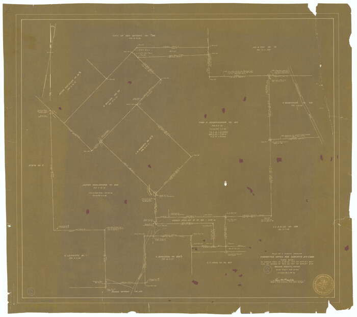
Bexar County Working Sketch 2

Print $20.00
- Digital $50.00
Bexar County Working Sketch 2
1940
Size 24.8 x 27.9 inches
Map/Doc 67318
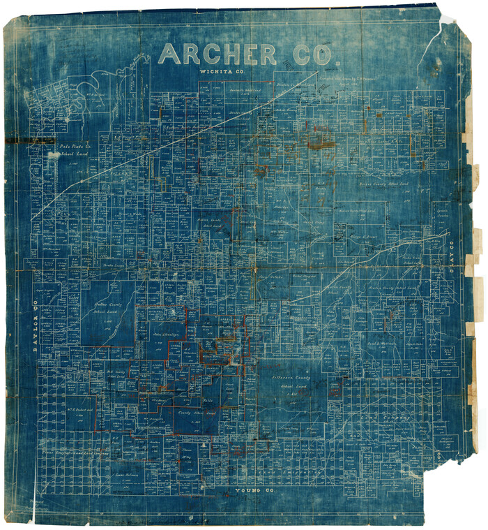
Archer County

Print $20.00
- Digital $50.00
Archer County
1898
Size 36.0 x 39.4 inches
Map/Doc 93033
Harris County Working Sketch 101


Print $20.00
- Digital $50.00
Harris County Working Sketch 101
1980
Size 32.6 x 36.2 inches
Map/Doc 65993
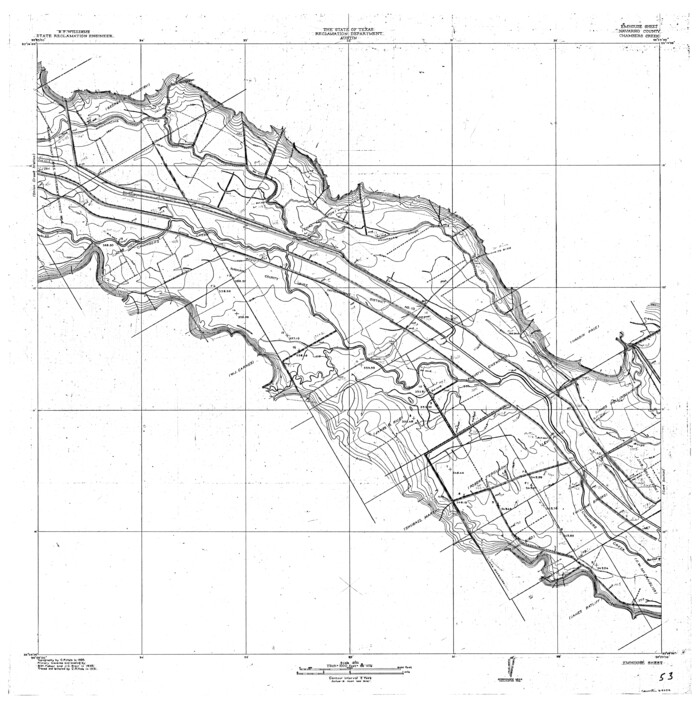
Trinity River, Emhouse Sheet/Chambers Creek

Print $6.00
- Digital $50.00
Trinity River, Emhouse Sheet/Chambers Creek
1931
Size 35.3 x 34.8 inches
Map/Doc 65232
Kenedy County Boundary File 2a


Print $22.00
- Digital $50.00
Kenedy County Boundary File 2a
Size 14.7 x 40.9 inches
Map/Doc 55793
Presidio County Sketch File 70b


Print $6.00
- Digital $50.00
Presidio County Sketch File 70b
Size 11.2 x 8.9 inches
Map/Doc 34671
![89786, [Sketch showing B. S. & F. Block 9 and vicinity], Twichell Survey Records](https://historictexasmaps.com/wmedia_w1800h1800/maps/89786-1.tif.jpg)
