Block 1 H&GN RR Co.
63-10
-
Map/Doc
89769
-
Collection
Twichell Survey Records
-
Counties
Dickens
-
Height x Width
39.3 x 40.3 inches
99.8 x 102.4 cm
Part of: Twichell Survey Records
Sketch Showing all that Portion of Block 24 North of Santa Fe R. R. Right-of-Way in Original Town of Lubbock

Print $20.00
- Digital $50.00
Sketch Showing all that Portion of Block 24 North of Santa Fe R. R. Right-of-Way in Original Town of Lubbock
1925
Size 26.9 x 34.4 inches
Map/Doc 92809
W. R. and J. M. Baggett's Ranch, Crockett County, Texas

Print $20.00
- Digital $50.00
W. R. and J. M. Baggett's Ranch, Crockett County, Texas
Size 22.8 x 25.5 inches
Map/Doc 92554
Map of Adrian, the New Town in the Panhandle, Oldham County, Texas (verso - Adrian promotional text)

Print $20.00
- Digital $50.00
Map of Adrian, the New Town in the Panhandle, Oldham County, Texas (verso - Adrian promotional text)
Size 26.0 x 21.5 inches
Map/Doc 92136
[H. & T. C. Block 47, East Line and Red River RR. Co. Block Z and vicinity]
![92974, [H. & T. C. Block 47, East Line and Red River RR. Co. Block Z and vicinity], Twichell Survey Records](https://historictexasmaps.com/wmedia_w700/maps/92974-1.tif.jpg)
Print $20.00
- Digital $50.00
[H. & T. C. Block 47, East Line and Red River RR. Co. Block Z and vicinity]
Size 17.4 x 14.0 inches
Map/Doc 92974
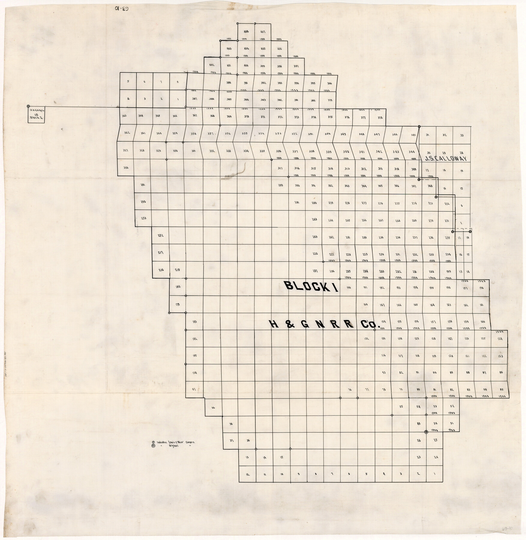
Block I, Dickens County Compiled by W.D. Twichell as directed by Cowan & Burney Upon G.M. Williams' Measurements

Print $20.00
- Digital $50.00
Block I, Dickens County Compiled by W.D. Twichell as directed by Cowan & Burney Upon G.M. Williams' Measurements
1916
Size 41.5 x 41.7 inches
Map/Doc 89770
Brazos River Conservation and Reclamation District Official Boundary Line Survey

Print $20.00
- Digital $50.00
Brazos River Conservation and Reclamation District Official Boundary Line Survey
Size 36.9 x 25.0 inches
Map/Doc 90251
Town of Wellman Situated on Parts of the Northeast 1/4 and Northwest 1/4 Section 17, Block DD

Print $20.00
- Digital $50.00
Town of Wellman Situated on Parts of the Northeast 1/4 and Northwest 1/4 Section 17, Block DD
1924
Size 14.3 x 12.3 inches
Map/Doc 92886
Map Showing Lands Owned by Capitol Freehold Land and Investment Company, Ltd.

Print $20.00
- Digital $50.00
Map Showing Lands Owned by Capitol Freehold Land and Investment Company, Ltd.
1909
Size 36.4 x 25.2 inches
Map/Doc 90733
[Blocks O, N, 34, B19, B29]
![92969, [Blocks O, N, 34, B19, B29], Twichell Survey Records](https://historictexasmaps.com/wmedia_w700/maps/92969-1.tif.jpg)
Print $20.00
- Digital $50.00
[Blocks O, N, 34, B19, B29]
Size 24.1 x 24.4 inches
Map/Doc 92969
[Leagues 7, 8, 9, and 10]
![92253, [Leagues 7, 8, 9, and 10], Twichell Survey Records](https://historictexasmaps.com/wmedia_w700/maps/92253-1.tif.jpg)
Print $20.00
- Digital $50.00
[Leagues 7, 8, 9, and 10]
Size 31.7 x 24.4 inches
Map/Doc 92253
[George Gentry, Charles Welch, and Surrounding Surveys]
![91082, [George Gentry, Charles Welch, and Surrounding Surveys], Twichell Survey Records](https://historictexasmaps.com/wmedia_w700/maps/91082-1.tif.jpg)
Print $20.00
- Digital $50.00
[George Gentry, Charles Welch, and Surrounding Surveys]
1922
Size 28.6 x 32.0 inches
Map/Doc 91082
[PSL Block B1 and T. & P. Blocks 45 and 46, Township 1N]
![91967, [PSL Block B1 and T. & P. Blocks 45 and 46, Township 1N], Twichell Survey Records](https://historictexasmaps.com/wmedia_w700/maps/91967-1.tif.jpg)
Print $20.00
- Digital $50.00
[PSL Block B1 and T. & P. Blocks 45 and 46, Township 1N]
Size 40.8 x 10.6 inches
Map/Doc 91967
You may also like
Map of Texas with Parts of the Adjoining States

Print $20.00
Map of Texas with Parts of the Adjoining States
1836
Size 29.5 x 23.6 inches
Map/Doc 76193
El Paso County Rolled Sketch 47

Print $40.00
- Digital $50.00
El Paso County Rolled Sketch 47
1885
Size 41.3 x 90.4 inches
Map/Doc 8874
[Blocks 44, 6T, 2G, and Vicinity]
![91519, [Blocks 44, 6T, 2G, and Vicinity], Twichell Survey Records](https://historictexasmaps.com/wmedia_w700/maps/91519-1.tif.jpg)
Print $20.00
- Digital $50.00
[Blocks 44, 6T, 2G, and Vicinity]
Size 24.5 x 16.9 inches
Map/Doc 91519

Falls County Working Sketch Graphic Index

Print $20.00
- Digital $50.00
Falls County Working Sketch Graphic Index
1976
Size 39.7 x 44.2 inches
Map/Doc 76539
Upshur County Rolled Sketch 2

Print $20.00
- Digital $50.00
Upshur County Rolled Sketch 2
1954
Size 26.8 x 23.4 inches
Map/Doc 8061
King County Boundary File 5

Print $12.00
- Digital $50.00
King County Boundary File 5
Size 14.2 x 8.8 inches
Map/Doc 64916
Refugio County Boundary File 3

Print $4.00
- Digital $50.00
Refugio County Boundary File 3
Size 14.0 x 8.7 inches
Map/Doc 58244
Map of the River Sabine shewing that portion of the Boundary between the Republic of Texas and the United States included between Logan's Ferry and the Intersection of the 32nd degree of N. Latitude with the Western bank of Sabine River

Print $20.00
- Digital $50.00
Map of the River Sabine shewing that portion of the Boundary between the Republic of Texas and the United States included between Logan's Ferry and the Intersection of the 32nd degree of N. Latitude with the Western bank of Sabine River
1842
Size 19.2 x 27.3 inches
Map/Doc 65410
Briscoe County Rolled Sketch 11A

Print $20.00
- Digital $50.00
Briscoe County Rolled Sketch 11A
1913
Size 11.7 x 12.3 inches
Map/Doc 5329
El Paso County Sketch File 5

Print $20.00
- Digital $50.00
El Paso County Sketch File 5
Size 25.3 x 18.9 inches
Map/Doc 11450
Texas, Corpus Christi Bay, Mustang Island

Print $40.00
- Digital $50.00
Texas, Corpus Christi Bay, Mustang Island
1940
Size 49.2 x 35.8 inches
Map/Doc 73461