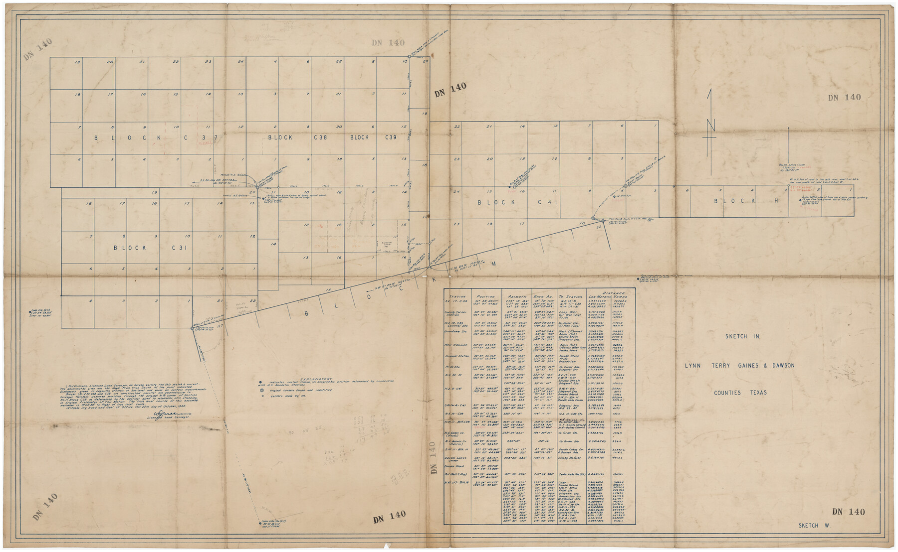
Sketch in Lynn, Terry, Gaines & Dawson Counties, Texas
DN140
-
Map/Doc
89685
-
Collection
Twichell Survey Records
-
Object Dates
10/22/1940 (Creation Date)
-
People and Organizations
W.J. Williams (Surveyor/Engineer)
-
Counties
Lynn Terry Gaines Dawson
-
Height x Width
52.5 x 32.6 inches
133.4 x 82.8 cm
Part of: Twichell Survey Records
Sketch showing parts of Terry, Yoakum, Hockley, Cochran Counties

Print $20.00
- Digital $50.00
Sketch showing parts of Terry, Yoakum, Hockley, Cochran Counties
Size 43.5 x 36.9 inches
Map/Doc 89883
Preliminary Re-Plat of Lots 13-20, 45-52, 77-84, and 97-104 James Subdivision

Print $2.00
- Digital $50.00
Preliminary Re-Plat of Lots 13-20, 45-52, 77-84, and 97-104 James Subdivision
1953
Size 8.7 x 11.3 inches
Map/Doc 93221
[Yates Field showing well locations]
![91670, [Yates Field showing well locations], Twichell Survey Records](https://historictexasmaps.com/wmedia_w700/maps/91670-1.tif.jpg)
Print $3.00
- Digital $50.00
[Yates Field showing well locations]
Size 14.4 x 11.3 inches
Map/Doc 91670
[Sketch Between Hemphill County and Oklahoma]
![89635, [Sketch Between Hemphill County and Oklahoma], Twichell Survey Records](https://historictexasmaps.com/wmedia_w700/maps/89635-1.tif.jpg)
Print $40.00
- Digital $50.00
[Sketch Between Hemphill County and Oklahoma]
Size 62.0 x 8.0 inches
Map/Doc 89635
This Map Shows the Surveys 61 to 69 by Dod's Monuments in Accordance with Dod's Course in Stanolind vs. State

Print $2.00
- Digital $50.00
This Map Shows the Surveys 61 to 69 by Dod's Monuments in Accordance with Dod's Course in Stanolind vs. State
Size 15.7 x 9.0 inches
Map/Doc 91687
Conway, Carson County, Texas

Print $20.00
- Digital $50.00
Conway, Carson County, Texas
Size 17.2 x 22.3 inches
Map/Doc 90227
[Capitol Leagues 661-729]
![92979, [Capitol Leagues 661-729], Twichell Survey Records](https://historictexasmaps.com/wmedia_w700/maps/92979-1.tif.jpg)
Print $20.00
- Digital $50.00
[Capitol Leagues 661-729]
Size 24.2 x 24.9 inches
Map/Doc 92979
Subdivision of Outlots 1 and 2 in Original Townsite of Seagraves, Texas

Print $20.00
- Digital $50.00
Subdivision of Outlots 1 and 2 in Original Townsite of Seagraves, Texas
1955
Size 17.3 x 29.1 inches
Map/Doc 92688
Caddo-Breckenridge Districts, Stephens County, Texas Ranger-Eastland-Cisco Districts Eastland County, Texas

Print $20.00
- Digital $50.00
Caddo-Breckenridge Districts, Stephens County, Texas Ranger-Eastland-Cisco Districts Eastland County, Texas
1919
Size 34.9 x 44.5 inches
Map/Doc 89808
[Surveys Along Canadian River]
![92359, [Surveys Along Canadian River], Twichell Survey Records](https://historictexasmaps.com/wmedia_w700/maps/92359-1.tif.jpg)
Print $20.00
- Digital $50.00
[Surveys Along Canadian River]
Size 42.9 x 27.0 inches
Map/Doc 92359
[Section 1, Block 12, H. & G. N. RR. Co.]
![91651, [Section 1, Block 12, H. & G. N. RR. Co.], Twichell Survey Records](https://historictexasmaps.com/wmedia_w700/maps/91651-1.tif.jpg)
Print $3.00
- Digital $50.00
[Section 1, Block 12, H. & G. N. RR. Co.]
Size 12.9 x 9.6 inches
Map/Doc 91651
Map of State University Land, Pecos County, Texas

Print $20.00
- Digital $50.00
Map of State University Land, Pecos County, Texas
1929
Size 42.1 x 33.5 inches
Map/Doc 91626
You may also like
Bosque County Sketch File 9

Print $6.00
- Digital $50.00
Bosque County Sketch File 9
1859
Size 4.3 x 4.7 inches
Map/Doc 14754
Cooke County Working Sketch 21

Print $20.00
- Digital $50.00
Cooke County Working Sketch 21
1959
Size 35.3 x 30.3 inches
Map/Doc 68258
[Block J and Headright Detail]
![91142, [Block J and Headright Detail], Twichell Survey Records](https://historictexasmaps.com/wmedia_w700/maps/91142-1.tif.jpg)
Print $2.00
- Digital $50.00
[Block J and Headright Detail]
Size 6.8 x 10.1 inches
Map/Doc 91142
Flight Mission No. DCL-7C, Frame 119, Kenedy County

Print $20.00
- Digital $50.00
Flight Mission No. DCL-7C, Frame 119, Kenedy County
1943
Size 18.5 x 22.3 inches
Map/Doc 86084
Plat Showing Survey made in Block A-25 Public School Land, Gaines County, Texas

Print $20.00
- Digital $50.00
Plat Showing Survey made in Block A-25 Public School Land, Gaines County, Texas
Size 35.7 x 30.3 inches
Map/Doc 92656
[Rio Grande & Eagle Pass - Stockdale to Cuero]
![64047, [Rio Grande & Eagle Pass - Stockdale to Cuero], General Map Collection](https://historictexasmaps.com/wmedia_w700/maps/64047.tif.jpg)
Print $40.00
- Digital $50.00
[Rio Grande & Eagle Pass - Stockdale to Cuero]
Size 20.6 x 121.5 inches
Map/Doc 64047
Texas Coast Country along the line of the Sunset Route

Texas Coast Country along the line of the Sunset Route
1907
Map/Doc 96713
Aransas County Rolled Sketch 26

Print $20.00
- Digital $50.00
Aransas County Rolled Sketch 26
1984
Size 18.3 x 24.4 inches
Map/Doc 5060
Gulf Oil Corp. Fishgide - Port O'Connor

Gulf Oil Corp. Fishgide - Port O'Connor
1960
Size 12.2 x 22.3 inches
Map/Doc 75983
Tyler County Sketch File 6

Print $6.00
- Digital $50.00
Tyler County Sketch File 6
1848
Size 6.0 x 7.1 inches
Map/Doc 38630
Dawson County Rolled Sketch 9

Print $20.00
- Digital $50.00
Dawson County Rolled Sketch 9
1953
Size 36.6 x 45.7 inches
Map/Doc 8773
Plan of the City of Austin

Print $20.00
Plan of the City of Austin
1853
Size 13.9 x 11.5 inches
Map/Doc 76207