Hutchinson Co[unty]
-
Map/Doc
88957
-
Collection
Library of Congress
-
Object Dates
7/8/1891 (Creation Date)
-
People and Organizations
General Land Office (Publisher)
W.L. McGaughey (GLO Commissioner)
-
Counties
Hutchinson
-
Subjects
County
-
Height x Width
24.2 x 19.3 inches
61.5 x 49.0 cm
-
Comments
Prints available from the GLO courtesy of Library of Congress, Geography and Map Division.
Part of: Library of Congress
[Map showing T&P Lands in El Paso County]
![88932, [Map showing T&P Lands in El Paso County], Library of Congress](https://historictexasmaps.com/wmedia_w700/maps/88932.tif.jpg)
![88932, [Map showing T&P Lands in El Paso County], Library of Congress](https://historictexasmaps.com/wmedia_w700/maps/88932.tif.jpg)
Print $20.00
[Map showing T&P Lands in El Paso County]
Size 22.2 x 17.1 inches
Map/Doc 88932
Map of the Military Department of the Gulf
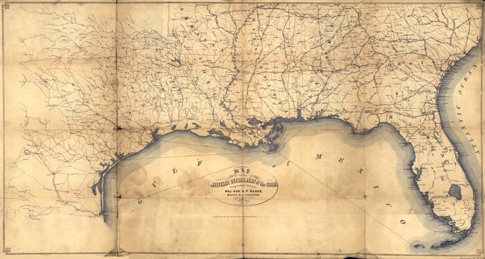

Print $20.00
Map of the Military Department of the Gulf
1864
Size 24.4 x 45.7 inches
Map/Doc 93568
Map of Texas, showing the line of the Texas and New Orleans Rail Road, and its connections in the U.S. and adjacent territories.


Print $20.00
Map of Texas, showing the line of the Texas and New Orleans Rail Road, and its connections in the U.S. and adjacent territories.
1860
Size 22.0 x 31.1 inches
Map/Doc 93612
Map of the southern states, including rail roads, county towns, state capitals, count roads, the southern coast from Delaware to Texas, showing the harbors, inlets, forts and position of blockading ships.
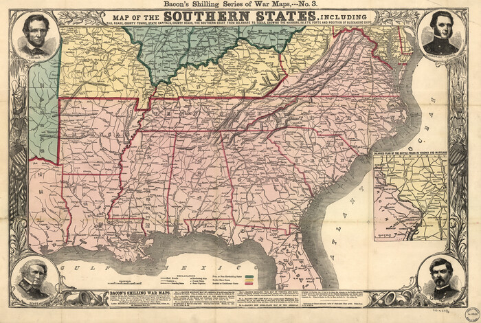

Print $20.00
Map of the southern states, including rail roads, county towns, state capitals, count roads, the southern coast from Delaware to Texas, showing the harbors, inlets, forts and position of blockading ships.
1863
Size 20.1 x 29.9 inches
Map/Doc 93571
Map showing the line of the Cairo & Fulton Railroad and its connections.
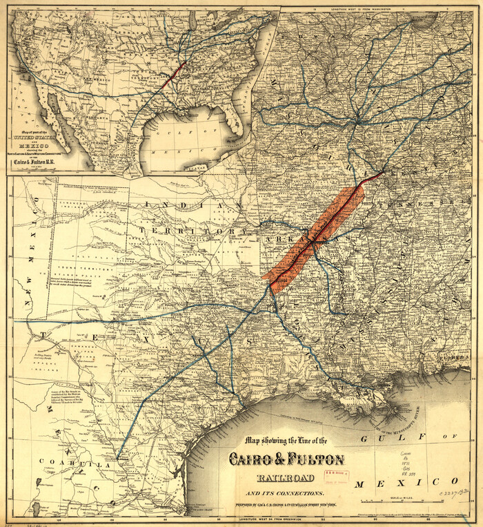

Print $20.00
Map showing the line of the Cairo & Fulton Railroad and its connections.
1871
Size 24.0 x 22.0 inches
Map/Doc 93611
Map of western Texas and northern Mexico from authentical surveys
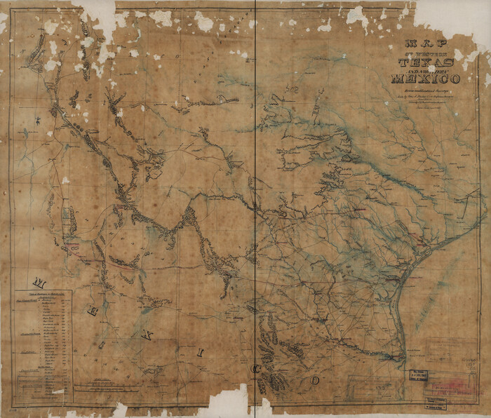

Print $20.00
Map of western Texas and northern Mexico from authentical surveys
1869
Size 27.2 x 31.9 inches
Map/Doc 93577
Map of Llano County, Texas
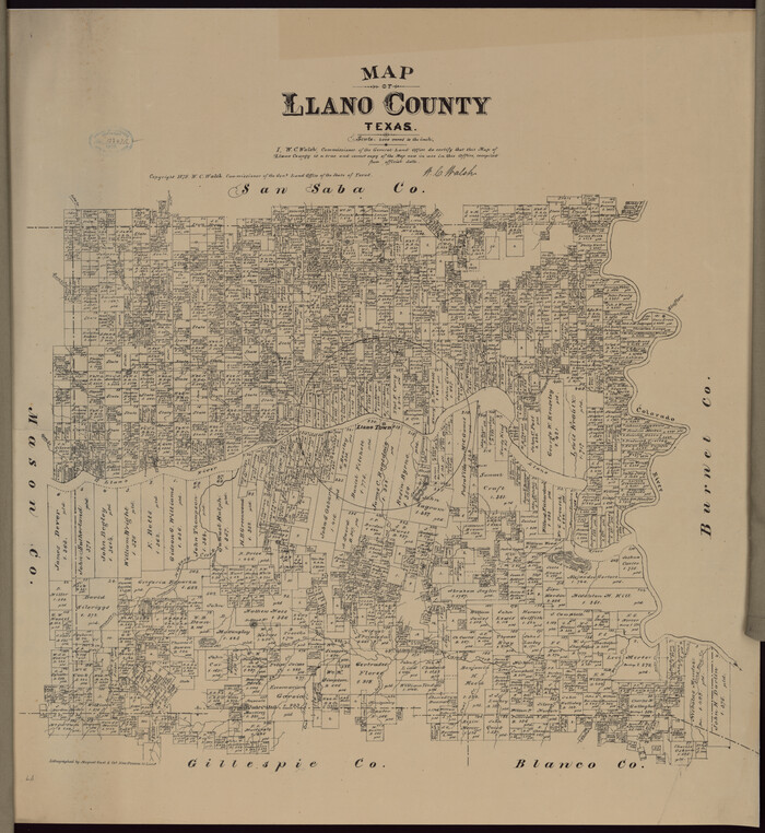

Print $20.00
Map of Llano County, Texas
1879
Size 23.1 x 21.2 inches
Map/Doc 88970
Official map of Dallas County, Texas


Print $20.00
Official map of Dallas County, Texas
1886
Size 22.7 x 17.3 inches
Map/Doc 93592
[Map showing T&P Lands in El Paso County]
![88933, [Map showing T&P Lands in El Paso County], Library of Congress](https://historictexasmaps.com/wmedia_w700/maps/88933.tif.jpg)
![88933, [Map showing T&P Lands in El Paso County], Library of Congress](https://historictexasmaps.com/wmedia_w700/maps/88933.tif.jpg)
Print $20.00
[Map showing T&P Lands in El Paso County]
Size 17.2 x 22.1 inches
Map/Doc 88933
You may also like
Intracoastal Waterway in Texas - Corpus Christi to Point Isabel including Arroyo Colorado to Mo. Pac. R.R. Bridge Near Harlingen
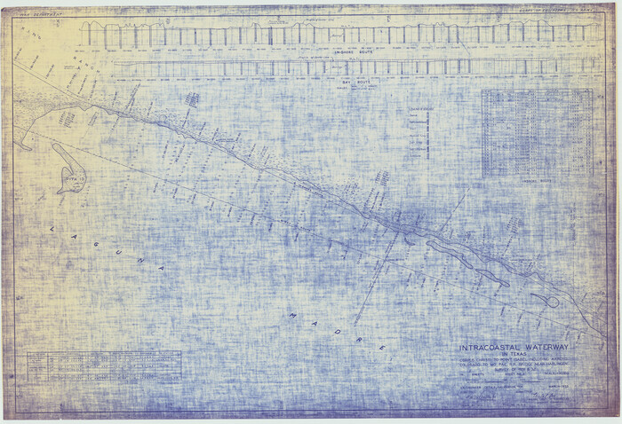

Print $20.00
- Digital $50.00
Intracoastal Waterway in Texas - Corpus Christi to Point Isabel including Arroyo Colorado to Mo. Pac. R.R. Bridge Near Harlingen
1933
Size 28.1 x 41.2 inches
Map/Doc 61845
Map of Wheeler County


Print $20.00
- Digital $50.00
Map of Wheeler County
1899
Size 39.9 x 32.3 inches
Map/Doc 4138
Duval County Sketch File 50


Print $8.00
- Digital $50.00
Duval County Sketch File 50
Size 9.4 x 7.9 inches
Map/Doc 21412
The Principal Transportation Lines west of Chicago, St. Louis, & New Orleans, to accompany the report on the Internal Commerce of the United States for 1880
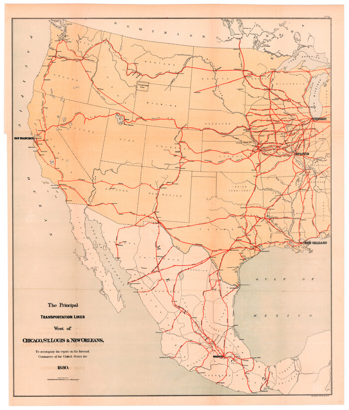

Print $20.00
- Digital $50.00
The Principal Transportation Lines west of Chicago, St. Louis, & New Orleans, to accompany the report on the Internal Commerce of the United States for 1880
1880
Size 26.7 x 22.7 inches
Map/Doc 95906
Galveston County Working Sketch 15
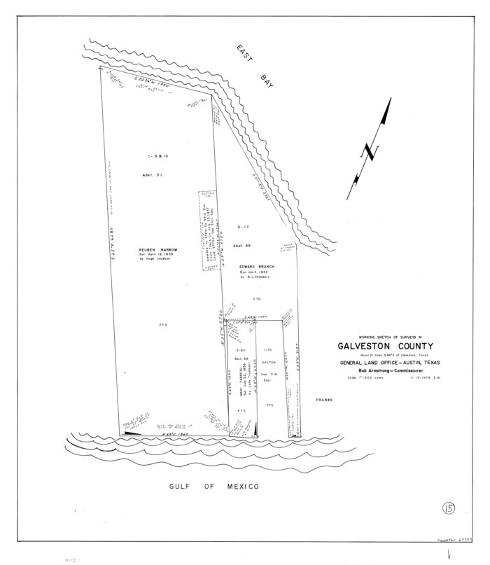

Print $20.00
- Digital $50.00
Galveston County Working Sketch 15
1978
Size 32.0 x 27.8 inches
Map/Doc 69352
Coleman County Sketch File 10
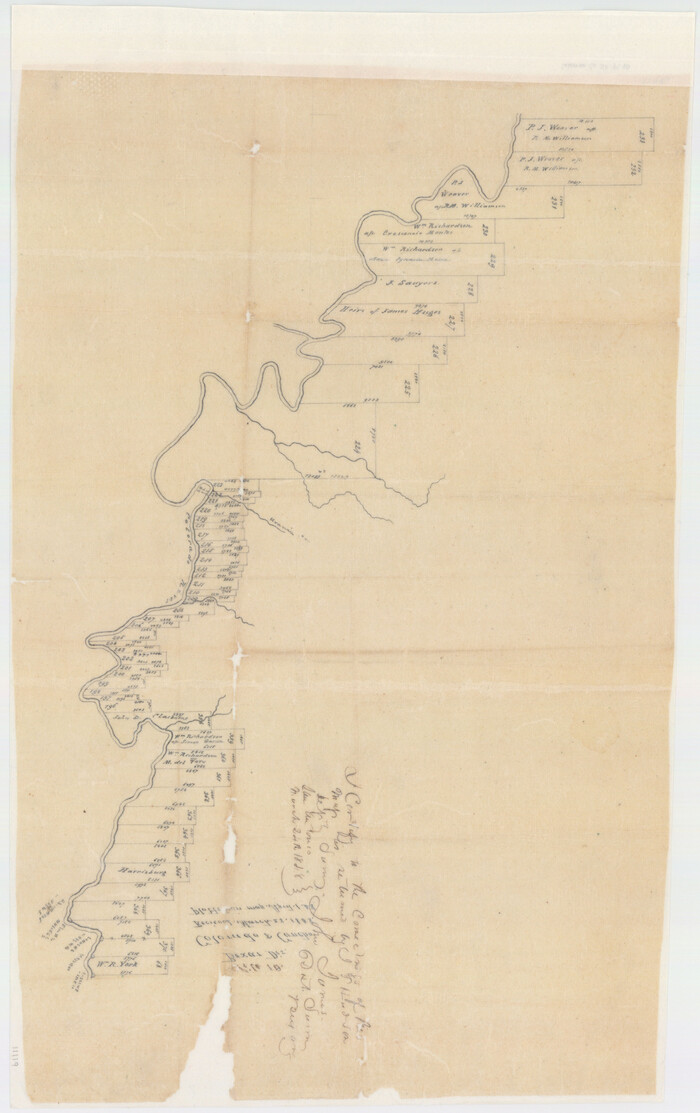

Print $20.00
- Digital $50.00
Coleman County Sketch File 10
1848
Size 28.0 x 13.2 inches
Map/Doc 11119
General Highway Map, Yoakum County, Texas
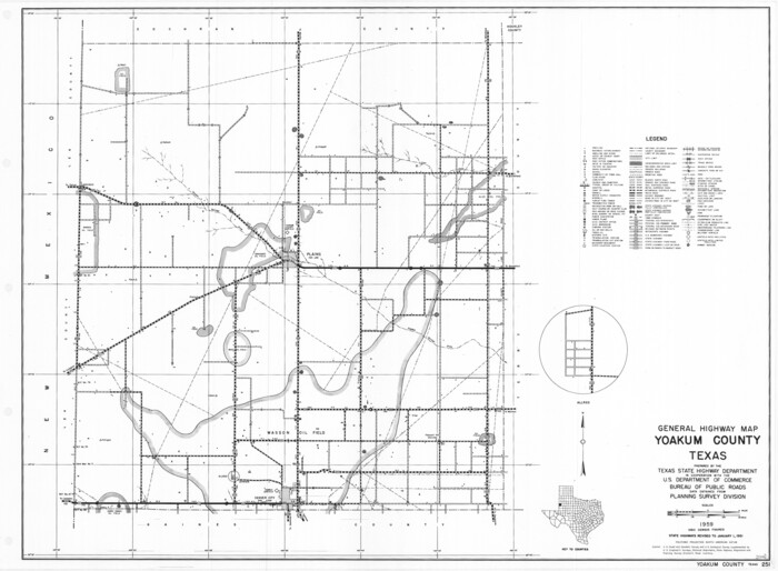

Print $20.00
General Highway Map, Yoakum County, Texas
1961
Size 18.2 x 24.7 inches
Map/Doc 79719
General Highway Map, Maverick County, Zavala County, Texas


Print $20.00
General Highway Map, Maverick County, Zavala County, Texas
1940
Size 18.6 x 24.7 inches
Map/Doc 79189
Martin County Boundary File 62

Print $110.00
- Digital $50.00
Martin County Boundary File 62
Size 8.7 x 4.0 inches
Map/Doc 56782
Galveston County Aerial Photograph Index Sheet 2
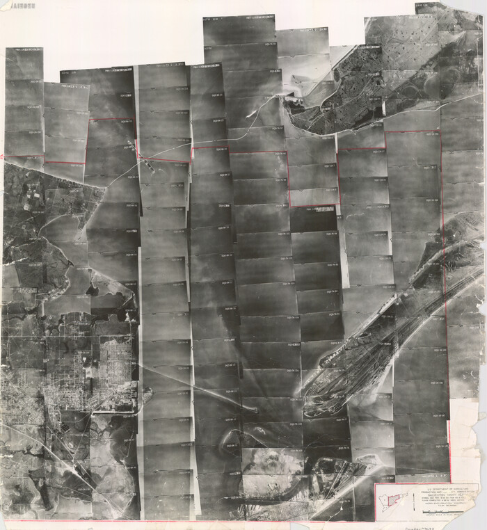

Print $20.00
- Digital $50.00
Galveston County Aerial Photograph Index Sheet 2
1953
Size 21.2 x 19.5 inches
Map/Doc 83693
Pecos County Sketch File 120
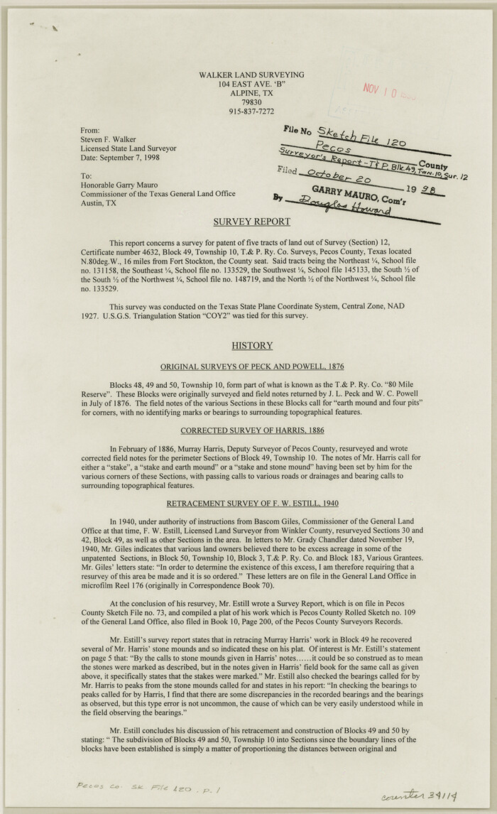

Print $4.00
- Digital $50.00
Pecos County Sketch File 120
Size 14.3 x 8.7 inches
Map/Doc 34114
Morris County Rolled Sketch 2A


Print $20.00
- Digital $50.00
Morris County Rolled Sketch 2A
Size 24.0 x 18.8 inches
Map/Doc 10237
![88957, Hutchinson Co[unty], Library of Congress](https://historictexasmaps.com/wmedia_w1800h1800/maps/88957.tif.jpg)

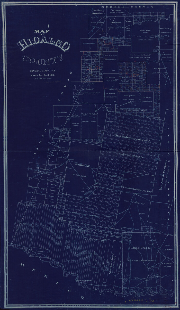
![88994, San Saba Co[unty], Library of Congress](https://historictexasmaps.com/wmedia_w700/maps/88994-1.tif.jpg)