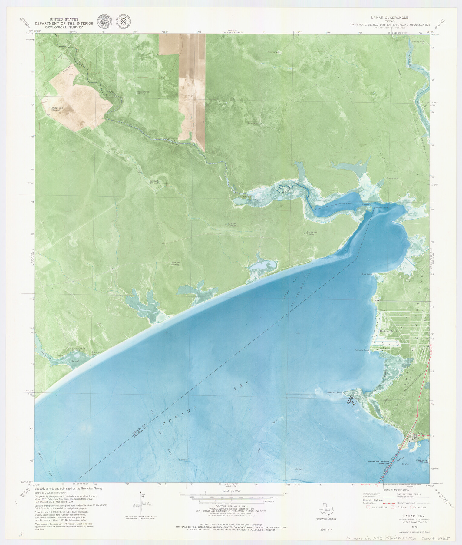
Aransas County NRC Article 33.136 Location Key Sheet
Aransas Pass Quadrangle
-
Map/Doc
87905
-
Collection
General Map Collection
-
Object Dates
1979 (Creation Date)
-
People and Organizations
U. S. Geological Survey (Publisher)
U. S. Geological Survey (Printer)
-
Counties
Aransas
-
Subjects
Surveying CBS
-
Height x Width
27.0 x 23.0 inches
68.6 x 58.4 cm
Part of: General Map Collection
Pecos County Rolled Sketch 178

Print $20.00
- Digital $50.00
Pecos County Rolled Sketch 178
1979
Size 38.5 x 28.7 inches
Map/Doc 7298
Colorado County Sketch File 14

Print $8.00
- Digital $50.00
Colorado County Sketch File 14
1874
Size 12.8 x 8.0 inches
Map/Doc 18939
Jack County Sketch File 12

Print $9.00
- Digital $50.00
Jack County Sketch File 12
Size 5.6 x 8.3 inches
Map/Doc 27533
Flight Mission No. CGI-4N, Frame 194, Cameron County

Print $20.00
- Digital $50.00
Flight Mission No. CGI-4N, Frame 194, Cameron County
1955
Size 15.6 x 22.1 inches
Map/Doc 84697
Webb County Sketch File 72

Print $24.00
- Digital $50.00
Webb County Sketch File 72
2011
Size 11.0 x 8.5 inches
Map/Doc 90054
Crockett County Rolled Sketch 21

Print $20.00
- Digital $50.00
Crockett County Rolled Sketch 21
Size 33.0 x 24.4 inches
Map/Doc 5582
Dallam County Sketch File 11

Print $4.00
- Digital $50.00
Dallam County Sketch File 11
1935
Size 11.8 x 7.2 inches
Map/Doc 20377
Williamson County

Print $40.00
- Digital $50.00
Williamson County
1946
Size 37.3 x 54.8 inches
Map/Doc 77460
Colorado River, Brackenridge Tract

Print $20.00
- Digital $50.00
Colorado River, Brackenridge Tract
1927
Size 43.6 x 32.1 inches
Map/Doc 65325
Young Land District

Print $20.00
- Digital $50.00
Young Land District
1857
Size 21.7 x 29.7 inches
Map/Doc 1974
Loving County Rolled Sketch 1A

Print $40.00
- Digital $50.00
Loving County Rolled Sketch 1A
Size 77.9 x 42.9 inches
Map/Doc 9461
Carson County Sketch File 6b

Print $22.00
- Digital $50.00
Carson County Sketch File 6b
1928
Size 13.4 x 8.6 inches
Map/Doc 17378
You may also like
Throckmorton County Sketch File 6a

Print $20.00
- Digital $50.00
Throckmorton County Sketch File 6a
1897
Size 14.5 x 12.7 inches
Map/Doc 38089

Fisher County Sketch File 8

Print $16.00
- Digital $50.00
Fisher County Sketch File 8
1898
Size 14.7 x 9.1 inches
Map/Doc 22567
Comanche County Working Sketch 18

Print $20.00
- Digital $50.00
Comanche County Working Sketch 18
1973
Size 18.3 x 25.2 inches
Map/Doc 68152
Ellis County Sketch File 4

Print $4.00
- Digital $50.00
Ellis County Sketch File 4
1859
Size 13.0 x 8.5 inches
Map/Doc 21832
Mitchell's school atlas: comprising the maps, etc., designed to illustrate Mitchell's school and family geography

Print $370.00
- Digital $50.00
Mitchell's school atlas: comprising the maps, etc., designed to illustrate Mitchell's school and family geography
1851
Size 12.0 x 9.6 inches
Map/Doc 93491
Presidio County Rolled Sketch 122

Print $20.00
- Digital $50.00
Presidio County Rolled Sketch 122
1981
Size 33.9 x 28.3 inches
Map/Doc 7395
Current Miscellaneous File 47

Print $12.00
- Digital $50.00
Current Miscellaneous File 47
1920
Size 16.3 x 9.2 inches
Map/Doc 73992
Flight Mission No. DAG-24K, Frame 160, Matagorda County

Print $20.00
- Digital $50.00
Flight Mission No. DAG-24K, Frame 160, Matagorda County
1953
Size 18.6 x 22.5 inches
Map/Doc 86574
Robertson County Working Sketch 14

Print $40.00
- Digital $50.00
Robertson County Working Sketch 14
1988
Size 50.0 x 40.8 inches
Map/Doc 78227
Flight Mission No. BRE-2P, Frame 108, Nueces County

Print $20.00
- Digital $50.00
Flight Mission No. BRE-2P, Frame 108, Nueces County
1956
Size 18.5 x 22.5 inches
Map/Doc 86793
General Highway Map, Edwards County, Real County, Texas

Print $20.00
General Highway Map, Edwards County, Real County, Texas
1961
Size 18.1 x 24.7 inches
Map/Doc 79452