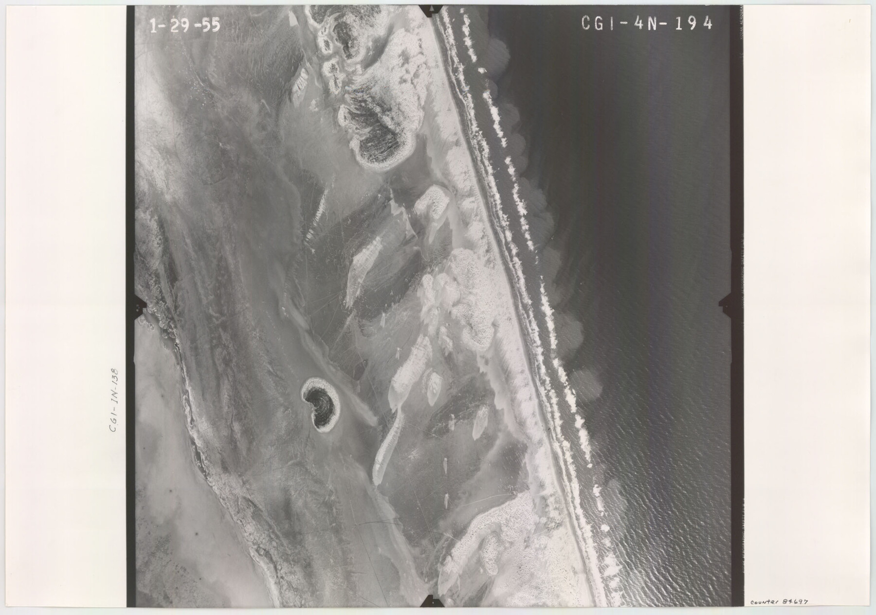
Flight Mission No. CGI-4N, Frame 194, Cameron County
CGI-4N-194
-
Map/Doc
84697
-
Collection
General Map Collection
-
Object Dates
1955/1/29 (Creation Date)
-
People and Organizations
U. S. Department of Agriculture (Publisher)
-
Counties
Cameron
-
Subjects
Aerial Photograph
-
Height x Width
15.6 x 22.1 inches
39.6 x 56.1 cm
-
Comments
Flown by Puckett Aerial Surveys, Inc. of Jackson, Mississippi.
Part of: General Map Collection
Map of Mexico, Including Yucatan & Upper California, exhibiting the Chief Cities and Towns, the Principal Travelling Routes &c.

Print $20.00
- Digital $50.00
Map of Mexico, Including Yucatan & Upper California, exhibiting the Chief Cities and Towns, the Principal Travelling Routes &c.
Size 33.3 x 25.4 inches
Map/Doc 95697
Brewster County Working Sketch 3

Print $20.00
- Digital $50.00
Brewster County Working Sketch 3
1908
Size 26.4 x 19.4 inches
Map/Doc 67536
Castro County Sketch File 4b

Print $4.00
- Digital $50.00
Castro County Sketch File 4b
Size 13.5 x 8.9 inches
Map/Doc 17467
Flight Mission No. BRE-1P, Frame 93, Nueces County

Print $20.00
- Digital $50.00
Flight Mission No. BRE-1P, Frame 93, Nueces County
1956
Size 18.5 x 22.2 inches
Map/Doc 86664
Panola County Working Sketch 3

Print $20.00
- Digital $50.00
Panola County Working Sketch 3
1935
Map/Doc 71412
Duval County Boundary File 1d

Print $40.00
- Digital $50.00
Duval County Boundary File 1d
Size 6.6 x 47.7 inches
Map/Doc 52699
Map of Shelby County

Print $20.00
- Digital $50.00
Map of Shelby County
1863
Size 18.6 x 22.3 inches
Map/Doc 4031
Grayson County Fannin District

Print $20.00
- Digital $50.00
Grayson County Fannin District
1885
Size 40.1 x 37.7 inches
Map/Doc 4961
Baylor County Sketch File 10A

Print $40.00
- Digital $50.00
Baylor County Sketch File 10A
Size 19.6 x 29.0 inches
Map/Doc 10905
Set of new maps of Austin's Colony by G. Borden, Jr.

Print $20.00
- Digital $50.00
Set of new maps of Austin's Colony by G. Borden, Jr.
1833
Size 25.0 x 17.0 inches
Map/Doc 131
Rockwall County

Print $20.00
- Digital $50.00
Rockwall County
1941
Size 29.7 x 24.1 inches
Map/Doc 95628
Ward County Rolled Sketch 24A

Print $20.00
- Digital $50.00
Ward County Rolled Sketch 24A
Size 19.9 x 42.3 inches
Map/Doc 8164
You may also like
The Land Offices. No. 9, Gonzales, December 22, 1836

Print $20.00
The Land Offices. No. 9, Gonzales, December 22, 1836
2020
Size 22.3 x 21.7 inches
Map/Doc 96422

Atascosa County Sketch File 12

Print $4.00
- Digital $50.00
Atascosa County Sketch File 12
1862
Size 14.4 x 8.3 inches
Map/Doc 13769
Van Zandt County Sketch File 47a

Print $7.00
- Digital $50.00
Van Zandt County Sketch File 47a
1875
Size 10.0 x 8.2 inches
Map/Doc 39507
[Townships 1 & 2, Blocks 53, 54 & 55]
![92952, [Townships 1 & 2, Blocks 53, 54 & 55], Twichell Survey Records](https://historictexasmaps.com/wmedia_w700/maps/92952-1.tif.jpg)
Print $20.00
- Digital $50.00
[Townships 1 & 2, Blocks 53, 54 & 55]
Size 34.3 x 20.0 inches
Map/Doc 92952
Texas and Northern Mexico

Print $20.00
- Digital $50.00
Texas and Northern Mexico
1925
Size 21.0 x 28.3 inches
Map/Doc 95900
Cooke County Sketch File 27

Print $24.00
- Digital $50.00
Cooke County Sketch File 27
Size 9.8 x 8.5 inches
Map/Doc 19279
Montgomery County Rolled Sketch 10

Print $20.00
- Digital $50.00
Montgomery County Rolled Sketch 10
1905
Size 35.5 x 26.2 inches
Map/Doc 6796
General Highway Map, Sabine County, Texas

Print $20.00
General Highway Map, Sabine County, Texas
1961
Size 24.6 x 18.1 inches
Map/Doc 79644
Amherst Suburban Farms

Print $20.00
- Digital $50.00
Amherst Suburban Farms
Size 16.7 x 16.8 inches
Map/Doc 92265
Williamson County

Print $40.00
- Digital $50.00
Williamson County
1946
Size 40.1 x 57.7 inches
Map/Doc 63130
[North part H. & T. C. Blk. 5 and PSL Blk. 64]
![90499, [North part H. & T. C. Blk. 5 and PSL Blk. 64], Twichell Survey Records](https://historictexasmaps.com/wmedia_w700/maps/90499-1.tif.jpg)
Print $20.00
- Digital $50.00
[North part H. & T. C. Blk. 5 and PSL Blk. 64]
Size 13.2 x 12.0 inches
Map/Doc 90499