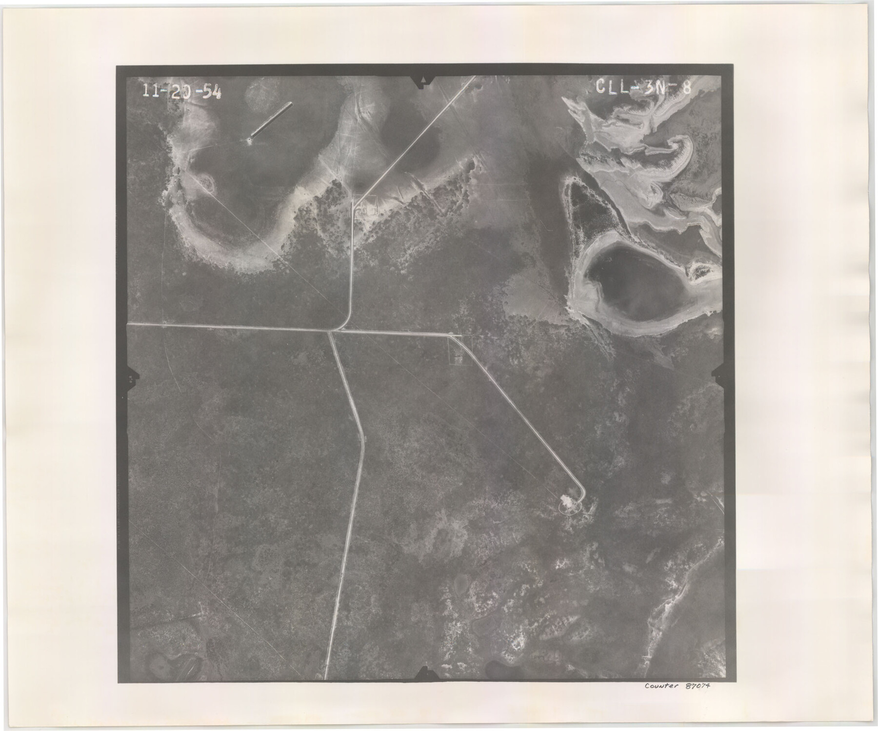
Flight Mission No. CLL-3N, Frame 8, Willacy County
CLL-3N-8
-
Map/Doc
87074
-
Collection
General Map Collection
-
Object Dates
1954/11/20 (Creation Date)
-
People and Organizations
U. S. Department of Agriculture (Publisher)
-
Counties
Willacy
-
Subjects
Aerial Photograph
-
Height x Width
18.5 x 22.2 inches
47.0 x 56.4 cm
-
Comments
Flown by Puckett Aerial Surveys, Inc. of Jackson, Mississippi.
Part of: General Map Collection
Flight Mission No. DQN-2K, Frame 127, Calhoun County

Print $20.00
- Digital $50.00
Flight Mission No. DQN-2K, Frame 127, Calhoun County
1953
Size 18.4 x 22.3 inches
Map/Doc 84301
Refugio County Sketch File 26

Print $4.00
- Digital $50.00
Refugio County Sketch File 26
Size 12.9 x 8.4 inches
Map/Doc 35292
El Paso County Rolled Sketch 2

Print $40.00
- Digital $50.00
El Paso County Rolled Sketch 2
Size 42.8 x 124.4 inches
Map/Doc 76433
Jefferson County Working Sketch 17

Print $20.00
- Digital $50.00
Jefferson County Working Sketch 17
1954
Size 47.1 x 30.3 inches
Map/Doc 66560

Howard County Boundary File 4b

Print $24.00
- Digital $50.00
Howard County Boundary File 4b
Size 11.3 x 8.9 inches
Map/Doc 55168

Houston County Working Sketch 35, revised

Print $20.00
- Digital $50.00
Houston County Working Sketch 35, revised
1999
Size 27.8 x 31.6 inches
Map/Doc 66266
Brewster County Rolled Sketch 53

Print $20.00
- Digital $50.00
Brewster County Rolled Sketch 53
1934
Size 43.8 x 37.6 inches
Map/Doc 8480
Nueces County Working Sketch 12

Print $20.00
- Digital $50.00
Nueces County Working Sketch 12
2011
Size 22.0 x 42.3 inches
Map/Doc 90047
Dawson County Rolled Sketch 12

Print $20.00
- Digital $50.00
Dawson County Rolled Sketch 12
1965
Size 15.6 x 33.2 inches
Map/Doc 5695
Real County Sketch File 12

Print $20.00
- Digital $50.00
Real County Sketch File 12
1932
Size 13.9 x 19.2 inches
Map/Doc 12231
You may also like
Hartley County Sketch File 8

Print $20.00
- Digital $50.00
Hartley County Sketch File 8
Size 23.9 x 19.1 inches
Map/Doc 11699
Presidio County Rolled Sketch 139

Print $20.00
- Digital $50.00
Presidio County Rolled Sketch 139
2002
Size 24.5 x 27.5 inches
Map/Doc 78647
Laredo Route. Mexican National Railroad - the Shortest Line to Mexico

Print $20.00
- Digital $50.00
Laredo Route. Mexican National Railroad - the Shortest Line to Mexico
1905
Size 11.0 x 8.5 inches
Map/Doc 96589
Sutton County Working Sketch 13

Print $40.00
- Digital $50.00
Sutton County Working Sketch 13
1972
Size 58.8 x 37.0 inches
Map/Doc 62356
Travis County Working Sketch 30

Print $20.00
- Digital $50.00
Travis County Working Sketch 30
1963
Size 30.5 x 35.1 inches
Map/Doc 69414
Bosque County Working Sketch 29

Print $20.00
- Digital $50.00
Bosque County Working Sketch 29
2009
Size 35.9 x 40.6 inches
Map/Doc 88997
Henderson County Working Sketch 30

Print $20.00
- Digital $50.00
Henderson County Working Sketch 30
1962
Size 44.5 x 43.8 inches
Map/Doc 66163
Flight Mission No. DIX-7P, Frame 16, Aransas County

Print $20.00
- Digital $50.00
Flight Mission No. DIX-7P, Frame 16, Aransas County
1956
Size 18.9 x 22.5 inches
Map/Doc 83868
Travis County Sketch File 13

Print $4.00
- Digital $50.00
Travis County Sketch File 13
1858
Size 8.2 x 6.5 inches
Map/Doc 38306
Map of Stephens County

Print $20.00
- Digital $50.00
Map of Stephens County
1897
Size 43.2 x 37.6 inches
Map/Doc 16818
Treaty to Resolve Pending Boundary Differences and Maintain the Rio Grande and Colorado River as the International Boundary Between the United States of American and Mexico

Print $4.00
- Digital $50.00
Treaty to Resolve Pending Boundary Differences and Maintain the Rio Grande and Colorado River as the International Boundary Between the United States of American and Mexico
1970
Size 12.2 x 19.0 inches
Map/Doc 83100
Presidio County Rolled Sketch 144

Print $20.00
- Digital $50.00
Presidio County Rolled Sketch 144
2010
Size 36.0 x 24.0 inches
Map/Doc 89602