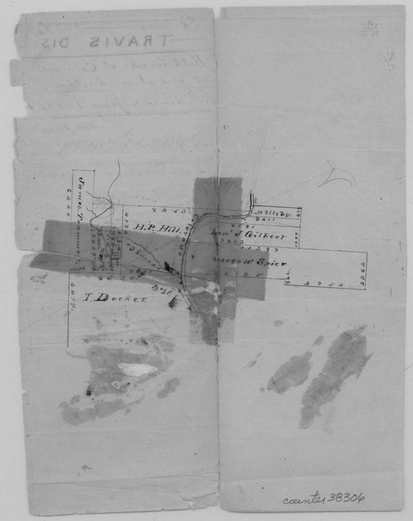
Travis County Sketch File 13
[Sketch of surveys on both banks of the Colorado west of Austin]
-
Map/Doc
38306
-
Collection
General Map Collection
-
Object Dates
1858/5/1 (Creation Date)
1858 (File Date)
-
Counties
Travis
-
Subjects
Surveying Sketch File
-
Height x Width
8.2 x 6.5 inches
20.8 x 16.5 cm
-
Medium
paper, manuscript
-
Features
Colorado River
Spring Creek
Part of: General Map Collection
Navarro County Rolled Sketch 4

Print $20.00
- Digital $50.00
Navarro County Rolled Sketch 4
1953
Size 27.1 x 29.8 inches
Map/Doc 6839
Travis County Sketch File 32A

Print $6.00
- Digital $50.00
Travis County Sketch File 32A
1893
Size 12.5 x 10.9 inches
Map/Doc 38347
Ector County Working Sketch 16

Print $40.00
- Digital $50.00
Ector County Working Sketch 16
1956
Size 31.6 x 73.6 inches
Map/Doc 68859
Hutchinson County Rolled Sketch 18

Print $20.00
- Digital $50.00
Hutchinson County Rolled Sketch 18
Size 30.4 x 32.6 inches
Map/Doc 9244
Zavala County Working Sketch 29

Print $20.00
- Digital $50.00
Zavala County Working Sketch 29
1994
Size 33.1 x 42.9 inches
Map/Doc 62104
Sutton County Sketch File 62

Print $4.00
- Digital $50.00
Sutton County Sketch File 62
1959
Size 3.7 x 8.6 inches
Map/Doc 37564
Intracoastal Waterway - Galveston Bay to West Bay including Galveston Bay Entrance

Print $20.00
- Digital $50.00
Intracoastal Waterway - Galveston Bay to West Bay including Galveston Bay Entrance
1957
Size 27.2 x 38.6 inches
Map/Doc 69933
Culberson County Working Sketch 86

Print $40.00
- Digital $50.00
Culberson County Working Sketch 86
1981
Size 37.3 x 53.3 inches
Map/Doc 68540
Bexar County Boundary File 3

Print $6.00
- Digital $50.00
Bexar County Boundary File 3
Size 8.2 x 3.6 inches
Map/Doc 50536
Liberty County Rolled Sketch L

Print $20.00
- Digital $50.00
Liberty County Rolled Sketch L
1950
Size 34.4 x 23.9 inches
Map/Doc 6624
Map of Lee County Texas

Print $20.00
- Digital $50.00
Map of Lee County Texas
1879
Size 26.2 x 18.0 inches
Map/Doc 4578
Flight Mission No. BRE-2P, Frame 76, Nueces County

Print $20.00
- Digital $50.00
Flight Mission No. BRE-2P, Frame 76, Nueces County
1956
Size 18.4 x 22.4 inches
Map/Doc 86771
You may also like
Flight Mission No. CRC-1R, Frame 151, Chambers County

Print $20.00
- Digital $50.00
Flight Mission No. CRC-1R, Frame 151, Chambers County
1956
Size 18.7 x 22.4 inches
Map/Doc 84713

Reagan County

Print $40.00
- Digital $50.00
Reagan County
1940
Size 50.8 x 41.2 inches
Map/Doc 95621
Archer County Sketch File 15

Print $40.00
- Digital $50.00
Archer County Sketch File 15
1886
Size 16.6 x 17.9 inches
Map/Doc 10827
Sketch showing Reed and Meeker Vacancy

Print $20.00
- Digital $50.00
Sketch showing Reed and Meeker Vacancy
Size 27.9 x 19.3 inches
Map/Doc 90288
Dickens County Rolled Sketch 14

Digital $50.00
Dickens County Rolled Sketch 14
Size 36.5 x 80.7 inches
Map/Doc 8792
Wise County Sketch File 39

Print $4.00
- Digital $50.00
Wise County Sketch File 39
1860
Size 9.3 x 8.1 inches
Map/Doc 40595
Tom Green County Rolled Sketch 21

Print $20.00
- Digital $50.00
Tom Green County Rolled Sketch 21
Size 20.2 x 12.9 inches
Map/Doc 8004
Val Verde County Working Sketch 113

Print $40.00
- Digital $50.00
Val Verde County Working Sketch 113
2003
Size 54.9 x 34.6 inches
Map/Doc 78492
Van Zandt County Boundary File 90

Print $10.00
- Digital $50.00
Van Zandt County Boundary File 90
Size 9.5 x 4.0 inches
Map/Doc 59650
Galveston County Sketch File 50

Print $70.00
- Digital $50.00
Galveston County Sketch File 50
Size 14.2 x 8.7 inches
Map/Doc 23481
Presidio County Working Sketch 85

Print $20.00
- Digital $50.00
Presidio County Working Sketch 85
1970
Size 37.0 x 30.8 inches
Map/Doc 71762