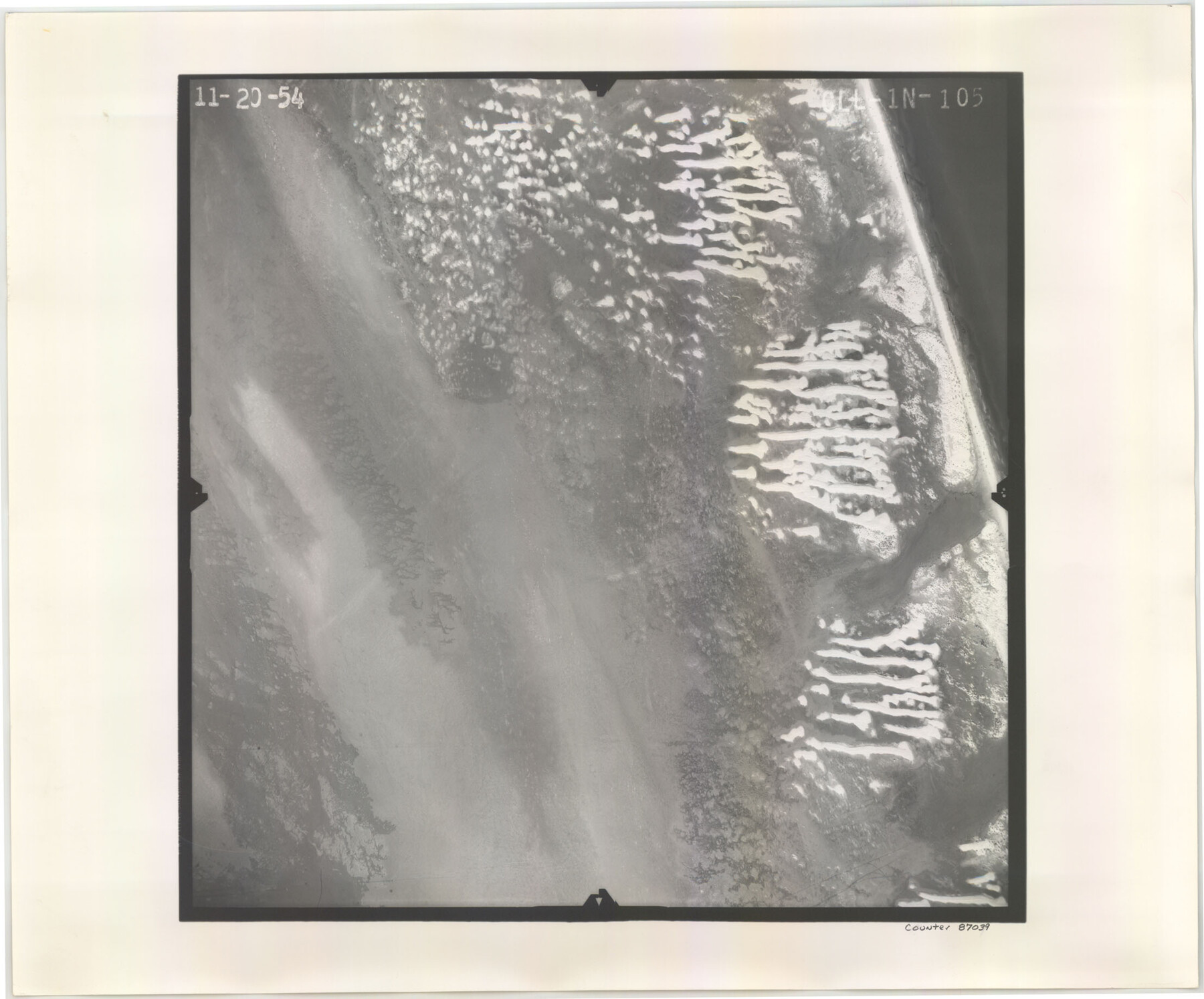
Flight Mission No. CLL-1N, Frame 105, Willacy County
CLL-1N-105
-
Map/Doc
87039
-
Collection
General Map Collection
-
Object Dates
1954/11/20 (Creation Date)
-
People and Organizations
U. S. Department of Agriculture (Publisher)
-
Counties
Willacy
-
Subjects
Aerial Photograph
-
Height x Width
18.4 x 22.1 inches
46.7 x 56.1 cm
-
Comments
Flown by Puckett Aerial Surveys, Inc. of Jackson, Mississippi.
Part of: General Map Collection
Brazos Santiago, Texas

Print $20.00
- Digital $50.00
Brazos Santiago, Texas
1900
Size 18.2 x 27.1 inches
Map/Doc 73034
Hall County Sketch File 21

Print $20.00
- Digital $50.00
Hall County Sketch File 21
1906
Size 12.8 x 15.8 inches
Map/Doc 11610
Eastland County Working Sketch 43

Print $20.00
- Digital $50.00
Eastland County Working Sketch 43
1979
Size 19.7 x 31.0 inches
Map/Doc 68824
Grayson County Working Sketch 24

Print $20.00
- Digital $50.00
Grayson County Working Sketch 24
1977
Size 34.5 x 42.1 inches
Map/Doc 63263
Hockley County

Print $20.00
- Digital $50.00
Hockley County
1914
Size 25.9 x 23.1 inches
Map/Doc 4980
Port Aransas-Corpus Christi Waterway, Texas, Avery Point Turning Basin to Vicinity of Tule Lake - Dredging

Print $20.00
- Digital $50.00
Port Aransas-Corpus Christi Waterway, Texas, Avery Point Turning Basin to Vicinity of Tule Lake - Dredging
1947
Size 28.4 x 41.4 inches
Map/Doc 60302
Brazos County Working Sketch 2

Print $20.00
- Digital $50.00
Brazos County Working Sketch 2
1950
Size 31.9 x 36.0 inches
Map/Doc 67477
Brewster County Sketch File N-12

Print $4.00
- Digital $50.00
Brewster County Sketch File N-12
1933
Size 14.3 x 9.0 inches
Map/Doc 15623
Falls County Boundary File 3

Print $15.00
- Digital $50.00
Falls County Boundary File 3
Size 8.6 x 3.8 inches
Map/Doc 53266
Montgomery County Working Sketch 3

Print $20.00
- Digital $50.00
Montgomery County Working Sketch 3
1918
Size 16.5 x 14.1 inches
Map/Doc 71109
Pecos County Working Sketch 135

Print $20.00
- Digital $50.00
Pecos County Working Sketch 135
1979
Size 46.4 x 37.3 inches
Map/Doc 71609
Leon County Working Sketch 34

Print $20.00
- Digital $50.00
Leon County Working Sketch 34
1978
Size 45.1 x 41.9 inches
Map/Doc 70433
You may also like
Palo Pinto County Working Sketch 8

Print $20.00
- Digital $50.00
Palo Pinto County Working Sketch 8
1922
Map/Doc 71391
Jeff Davis County Sketch File 45

Print $10.00
- Digital $50.00
Jeff Davis County Sketch File 45
1890
Size 14.0 x 8.5 inches
Map/Doc 28075
Hutchinson County Sketch File 23

Print $22.00
- Digital $50.00
Hutchinson County Sketch File 23
1913
Size 11.2 x 8.8 inches
Map/Doc 27245
Hemphill County Working Sketch 21

Print $40.00
- Digital $50.00
Hemphill County Working Sketch 21
1973
Size 79.0 x 32.6 inches
Map/Doc 66116
Working Sketch in Childress County

Print $20.00
- Digital $50.00
Working Sketch in Childress County
1910
Size 6.6 x 23.3 inches
Map/Doc 90425
Pecos County Boundary File 69a

Print $40.00
- Digital $50.00
Pecos County Boundary File 69a
Size 8.4 x 9.7 inches
Map/Doc 57901
Motley County Working Sketch 9

Print $20.00
- Digital $50.00
Motley County Working Sketch 9
1984
Size 32.6 x 28.9 inches
Map/Doc 71214
Val Verde County Working Sketch 99

Print $20.00
- Digital $50.00
Val Verde County Working Sketch 99
1981
Size 17.2 x 22.6 inches
Map/Doc 72234
Brazoria County Working Sketch 35

Print $40.00
- Digital $50.00
Brazoria County Working Sketch 35
1981
Size 43.5 x 66.2 inches
Map/Doc 67520
Sectional Map No. 3 of the lands and of the line of the Texas & Pacific Ry. Co. in Reeves and parts of Tom Green, Pecos, Presidio & El Paso Cos.

Print $20.00
- Digital $50.00
Sectional Map No. 3 of the lands and of the line of the Texas & Pacific Ry. Co. in Reeves and parts of Tom Green, Pecos, Presidio & El Paso Cos.
1885
Size 22.3 x 17.4 inches
Map/Doc 2303
Fisher County Sketch File 19

Print $20.00
- Digital $50.00
Fisher County Sketch File 19
Size 18.8 x 15.7 inches
Map/Doc 11481
Section 40, Block Y

Print $20.00
- Digital $50.00
Section 40, Block Y
Size 23.9 x 19.5 inches
Map/Doc 92460