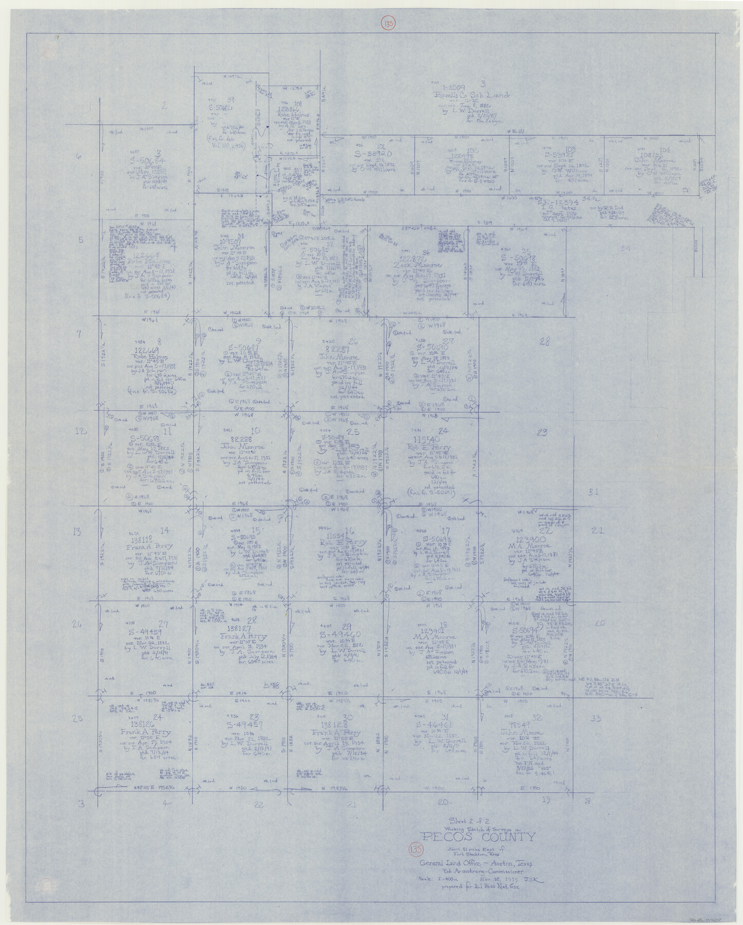
Pecos County Working Sketch 135
-
Map/Doc
71609
-
Collection
General Map Collection
-
Object Dates
11/12/1979 (Creation Date)
-
People and Organizations
Joan Kilpatrick (Draftsman)
-
Counties
Pecos
-
Subjects
Surveying Working Sketch
-
Height x Width
46.4 x 37.3 inches
117.9 x 94.7 cm
-
Scale
1" = 400 varas
Part of: General Map Collection
Starr County Rolled Sketch 2

Print $40.00
- Digital $50.00
Starr County Rolled Sketch 2
1853
Size 31.7 x 48.5 inches
Map/Doc 9938
Sabine County Working Sketch 4

Print $20.00
- Digital $50.00
Sabine County Working Sketch 4
1913
Size 23.7 x 32.0 inches
Map/Doc 63675
Flight Mission No. DQN-6K, Frame 17, Calhoun County

Print $20.00
- Digital $50.00
Flight Mission No. DQN-6K, Frame 17, Calhoun County
1953
Size 18.5 x 22.1 inches
Map/Doc 84439
Brewster County Sketch File FN-31

Print $4.00
- Digital $50.00
Brewster County Sketch File FN-31
1975
Size 11.3 x 8.8 inches
Map/Doc 15852

Bailey County Rolled Sketch 6

Print $20.00
- Digital $50.00
Bailey County Rolled Sketch 6
Size 17.4 x 12.9 inches
Map/Doc 5111
Jack County Working Sketch 21

Print $20.00
- Digital $50.00
Jack County Working Sketch 21
1993
Size 28.3 x 40.0 inches
Map/Doc 66447
Grimes County Working Sketch 9

Print $20.00
- Digital $50.00
Grimes County Working Sketch 9
1977
Size 20.1 x 30.3 inches
Map/Doc 63300
Young County Working Sketch 9

Print $20.00
- Digital $50.00
Young County Working Sketch 9
1921
Size 25.9 x 36.6 inches
Map/Doc 62032
Montague County Working Sketch Graphic Index

Print $20.00
- Digital $50.00
Montague County Working Sketch Graphic Index
1924
Size 45.3 x 33.2 inches
Map/Doc 76645
Flight Mission No. BQY-15M, Frame 8, Harris County

Print $20.00
- Digital $50.00
Flight Mission No. BQY-15M, Frame 8, Harris County
1953
Size 18.7 x 22.4 inches
Map/Doc 85306

You may also like
Kerr County Sketch File 23

Print $8.00
- Digital $50.00
Kerr County Sketch File 23
1959
Size 14.2 x 8.8 inches
Map/Doc 28901
Montague County Rolled Sketch 9

Print $20.00
- Digital $50.00
Montague County Rolled Sketch 9
Size 29.1 x 39.4 inches
Map/Doc 6793
United States - Gulf Coast Texas - Southern part of Laguna Madre

Print $20.00
- Digital $50.00
United States - Gulf Coast Texas - Southern part of Laguna Madre
1941
Size 18.2 x 27.7 inches
Map/Doc 72947
Flight Mission No. DQO-3K, Frame 21, Galveston County

Print $20.00
- Digital $50.00
Flight Mission No. DQO-3K, Frame 21, Galveston County
1952
Size 18.9 x 22.5 inches
Map/Doc 85062
No. 1 - Survey for a road from the Brazo Santiago to the Rio Grande

Print $20.00
- Digital $50.00
No. 1 - Survey for a road from the Brazo Santiago to the Rio Grande
1847
Size 18.4 x 27.3 inches
Map/Doc 72875
Maverick County Rolled Sketch 23

Print $91.00
- Digital $50.00
Maverick County Rolled Sketch 23
1965
Size 9.5 x 14.8 inches
Map/Doc 46786
West Part Presidio Co.

Print $20.00
- Digital $50.00
West Part Presidio Co.
1974
Size 40.5 x 31.4 inches
Map/Doc 77399
Edwards County Working Sketch 21

Print $20.00
- Digital $50.00
Edwards County Working Sketch 21
1935
Size 26.7 x 32.0 inches
Map/Doc 68897
Walker County Rolled Sketch 1

Print $20.00
- Digital $50.00
Walker County Rolled Sketch 1
1982
Size 36.3 x 23.6 inches
Map/Doc 8154
Cherokee County Working Sketch 24

Print $20.00
- Digital $50.00
Cherokee County Working Sketch 24
1972
Size 37.2 x 38.8 inches
Map/Doc 67979
Cameron County Sketch File 9

Print $26.00
- Digital $50.00
Cameron County Sketch File 9
1983
Size 11.2 x 8.3 inches
Map/Doc 17197
Wilbarger County Sketch File 12

Print $8.00
- Digital $50.00
Wilbarger County Sketch File 12
Size 12.7 x 8.1 inches
Map/Doc 40185