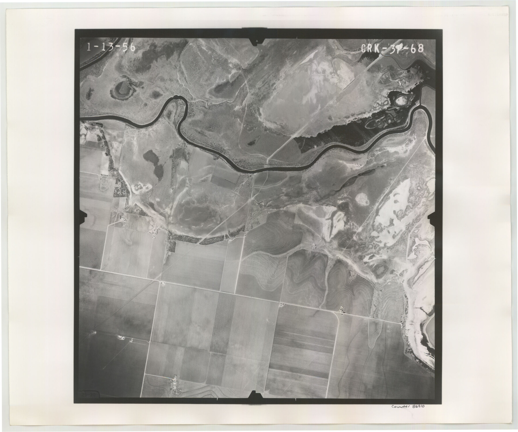
Flight Mission No. CRK-3P, Frame 68, Refugio County
CRK-3P-68
-
Map/Doc
86910
-
Collection
General Map Collection
-
Object Dates
1956/1/13 (Creation Date)
-
People and Organizations
U. S. Department of Agriculture (Publisher)
-
Counties
Refugio
-
Subjects
Aerial Photograph
-
Height x Width
18.7 x 22.5 inches
47.5 x 57.2 cm
-
Comments
Flown by V. L. Beavers and Associates of San Antonio, Texas.
Part of: General Map Collection
Flight Mission No. DQN-5K, Frame 30, Calhoun County

Print $20.00
- Digital $50.00
Flight Mission No. DQN-5K, Frame 30, Calhoun County
1953
Size 16.7 x 16.5 inches
Map/Doc 84381
2016 Official Travel Map, Texas

2016 Official Travel Map, Texas
Size 33.3 x 36.2 inches
Map/Doc 94297
Presidio County Boundary File 3b

Print $14.00
- Digital $50.00
Presidio County Boundary File 3b
Size 13.4 x 8.2 inches
Map/Doc 58076
Cameron County Sketch File 11

Print $58.00
- Digital $50.00
Cameron County Sketch File 11
1991
Size 11.0 x 7.9 inches
Map/Doc 17207
Hood County Sketch File 4

Print $4.00
- Digital $50.00
Hood County Sketch File 4
Size 8.8 x 7.8 inches
Map/Doc 26575

Upton County Working Sketch 41

Print $40.00
- Digital $50.00
Upton County Working Sketch 41
1960
Size 40.4 x 54.2 inches
Map/Doc 69537
Flight Mission No. BRA-7M, Frame 11, Jefferson County

Print $20.00
- Digital $50.00
Flight Mission No. BRA-7M, Frame 11, Jefferson County
1953
Size 18.6 x 22.3 inches
Map/Doc 85462
Flight Mission No. CRC-3R, Frame 21, Chambers County

Print $20.00
- Digital $50.00
Flight Mission No. CRC-3R, Frame 21, Chambers County
1956
Size 18.6 x 22.2 inches
Map/Doc 84795
Crockett County Working Sketch 100

Print $20.00
- Digital $50.00
Crockett County Working Sketch 100
1980
Size 35.6 x 39.9 inches
Map/Doc 68433
Brewster County Working Sketch 106

Print $20.00
- Digital $50.00
Brewster County Working Sketch 106
1980
Size 43.3 x 31.8 inches
Map/Doc 67706
Right of Way & Track Map San Antonio & Aransas Pass Railway Co.

Print $40.00
- Digital $50.00
Right of Way & Track Map San Antonio & Aransas Pass Railway Co.
1919
Size 25.7 x 56.7 inches
Map/Doc 64039
You may also like
Pecos County Working Sketch 102

Print $40.00
- Digital $50.00
Pecos County Working Sketch 102
1971
Size 36.9 x 52.7 inches
Map/Doc 71575
Real County Working Sketch 3

Print $20.00
- Digital $50.00
Real County Working Sketch 3
Size 35.0 x 24.9 inches
Map/Doc 71895
Live Oak County Sketch File 32

Print $6.00
- Digital $50.00
Live Oak County Sketch File 32
1951
Size 11.1 x 8.6 inches
Map/Doc 30330
Culberson County Rolled Sketch 31

Print $20.00
- Digital $50.00
Culberson County Rolled Sketch 31
Size 44.1 x 34.4 inches
Map/Doc 8747
Trinity County Working Sketch 10

Print $20.00
- Digital $50.00
Trinity County Working Sketch 10
1948
Size 25.7 x 24.6 inches
Map/Doc 69459
Frio County Rolled Sketch 8

Print $20.00
- Digital $50.00
Frio County Rolled Sketch 8
1940
Size 19.1 x 36.0 inches
Map/Doc 8901
Harrison County Working Sketch 32

Print $20.00
- Digital $50.00
Harrison County Working Sketch 32
2015
Size 29.9 x 24.0 inches
Map/Doc 93724
Milam County Working Sketch 17

Print $40.00
- Digital $50.00
Milam County Working Sketch 17
1972
Size 54.7 x 32.2 inches
Map/Doc 89031
Refugio County Sketch File 26

Print $4.00
- Digital $50.00
Refugio County Sketch File 26
Size 12.9 x 8.4 inches
Map/Doc 35292
Gregg County Boundary File 3

Print $8.00
- Digital $50.00
Gregg County Boundary File 3
Size 14.1 x 8.5 inches
Map/Doc 53988
[Surveys near Quihi Creek]
![312, [Surveys near Quihi Creek], General Map Collection](https://historictexasmaps.com/wmedia_w700/maps/312.tif.jpg)
Print $2.00
- Digital $50.00
[Surveys near Quihi Creek]
1846
Size 11.0 x 8.0 inches
Map/Doc 312
Liberty County Working Sketch 73

Print $40.00
- Digital $50.00
Liberty County Working Sketch 73
1978
Size 25.5 x 61.6 inches
Map/Doc 70533